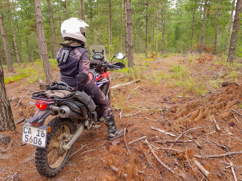
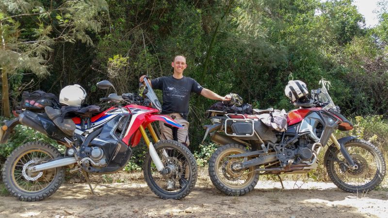
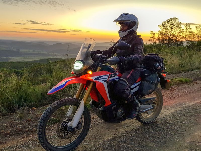
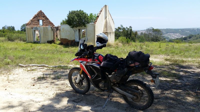
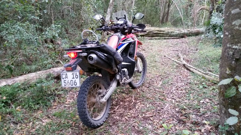
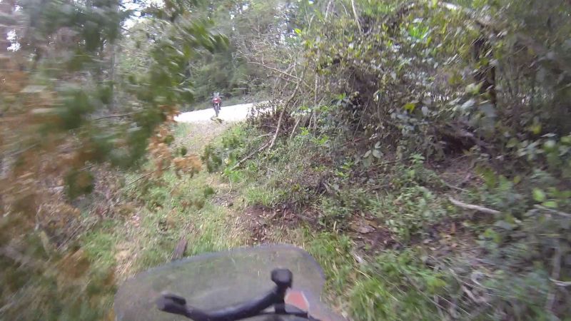
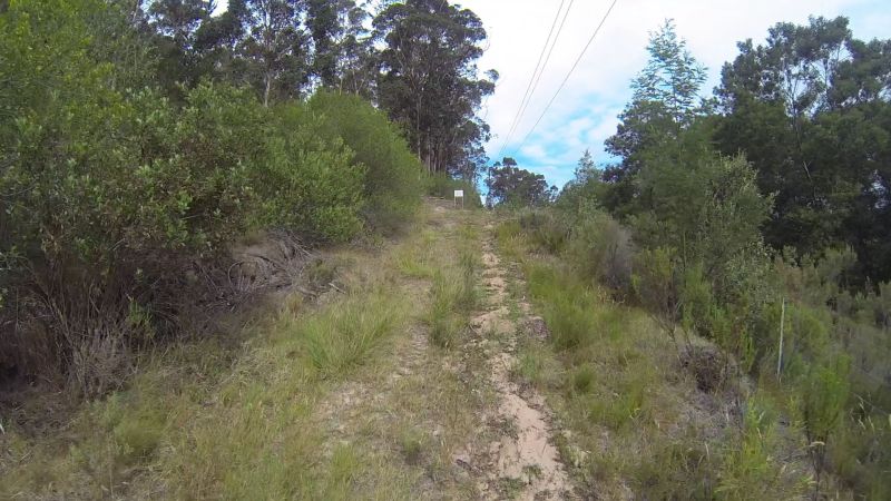
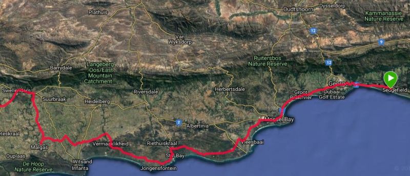
Sedgefield forest explorer

This trip is a “gates trip”, because – in essence – we were trying to answer that one burning question: “Is there really a locked gate?”
Our tracks therefore consisted of many double-backs, tortuous twists and rerouting. As the map apps like to say: Recalculating!!
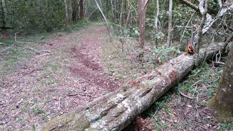
And then there are the places where only a GPS can help…
Backstory
My parents very recently moved to Sedgefield (between George and Knysna). Their new house has a few spare rooms as a drawcard for visits from friends and offspring.
As a result, it was only 3 weeks before Lance and I set off to Sedgefield, the long way round. Google Maps shows that the direct route takes 5 hours. We took 15…excluding stops.
The trip there took 2 days, but we also set aside a full day to explore the surrounding roads (and not-so-roads).
For those too lazy to read, here is the trip video:
For those too lazy even to watch an entire video, the interesting roads / trails can be found on day 4, starting at 6:11.
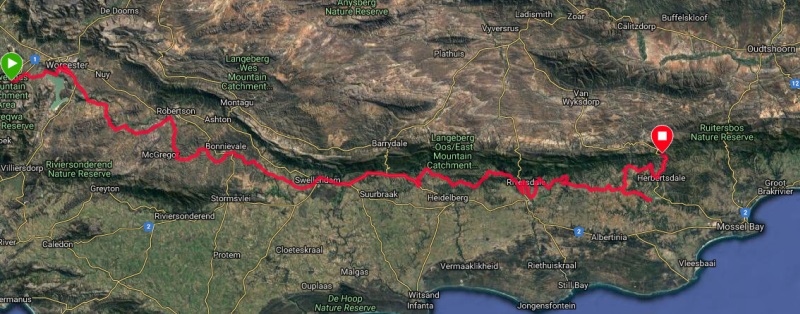
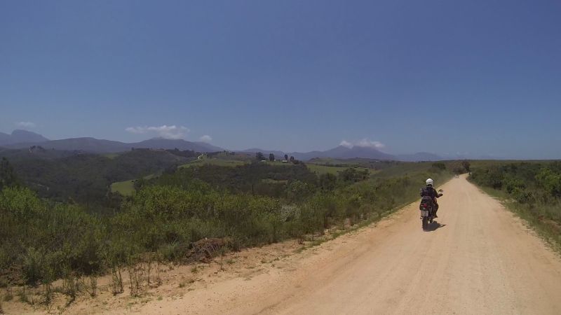
DAY 1 (21 Dec): Cape Town to Herbertsdale (499 km)
Stats (only started recording at Rawsonville)
Total time (from Rawsonville): 10h42 (37 km/h)
Moving time (from Rawsonville): 8h38 (46 km/h)
Resting time (from Rawsonville): 2h03
Maximum speed: 107 km/h
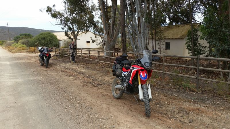
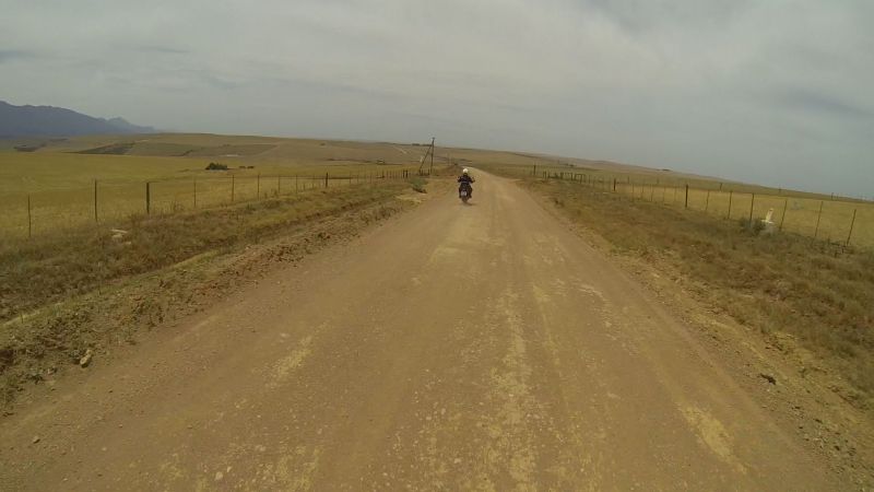
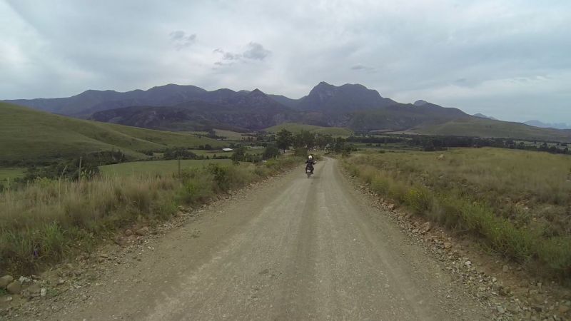
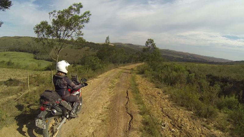
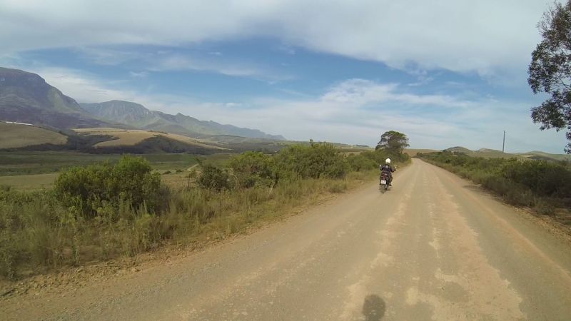
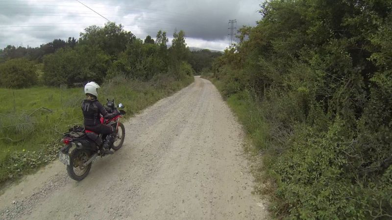
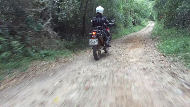
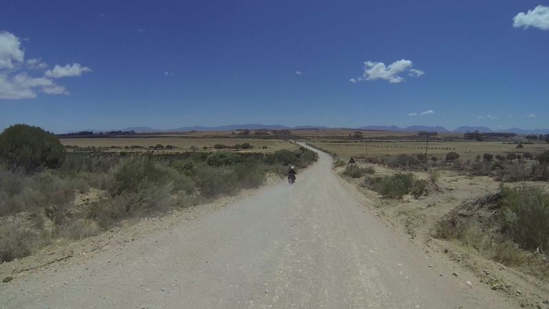
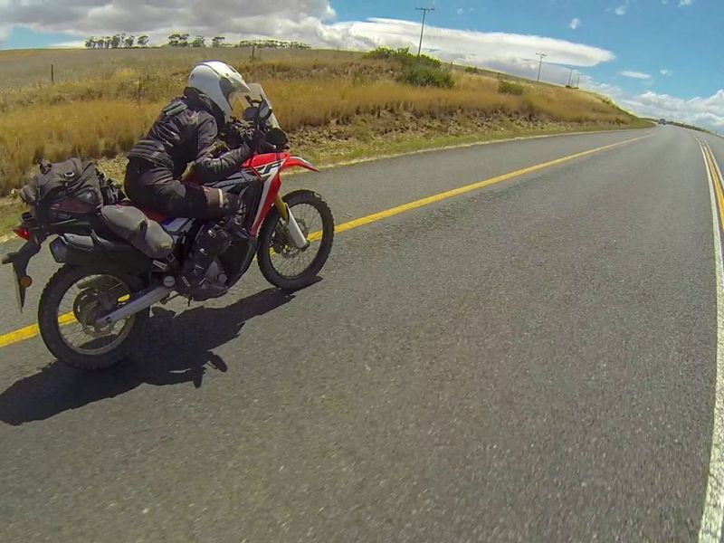
We departed at 8:30, quickly putting as much distance as we could between us and town. “Quickly” being the operative word. The little Honda Rally doesn’t do “quickly”. We were in quite a chillaxed mode and Lance has the patience of a saint, hence a blistering top speed recorded for the day of 107 km/h.
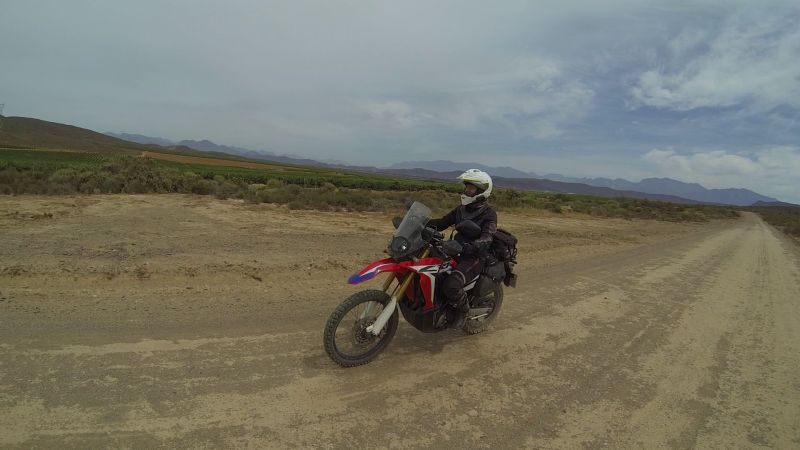
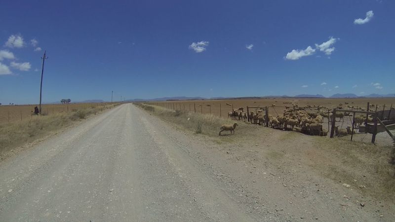
We abandoned the highway at Rawsonville, but had to execute a forced double-back to Worcester for fuel, when we realised the Rally wouldn’t make the next fuel station. The bike can do 300 km or more on a tank, but I hadn’t filled up that morning. Silly me.
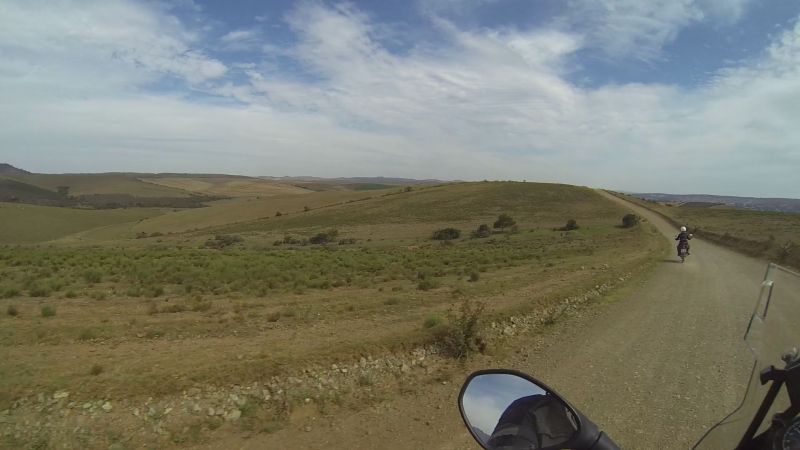
On some gravel road between Worcester and Robertson:
A sign with a truck on a downhill is meant to warn of a steep hill and gearing down. We take it as a warning for a spectacular view. We are rarely disappointed.

We skirted past Robertson, turning off before the Breerivier and heading south past Vrolijkheid Nature Reserve.
Helmet break stop:
Another view, somewhere before Bonnievale:
Farmlands on Swellendam Road:
Lonely house:
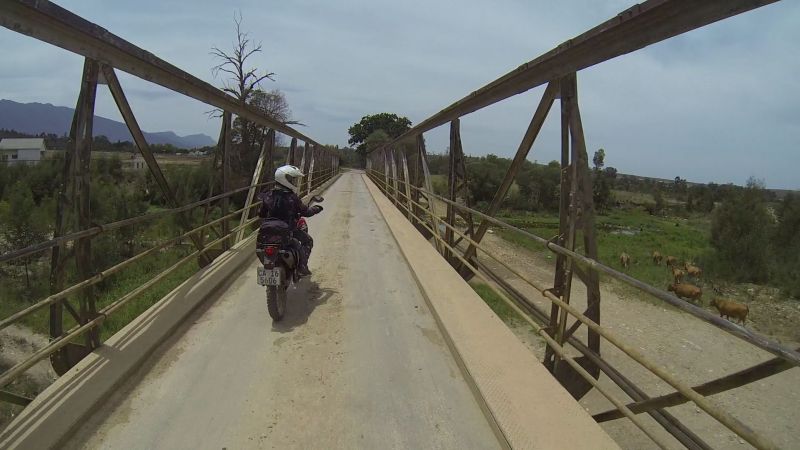
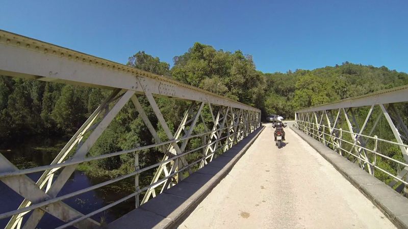
Kliprivier bridge just before Swellendam:
We had lunch at Old Mill Restaurant in Swellendam. We choose places based on whether you can see your bike!
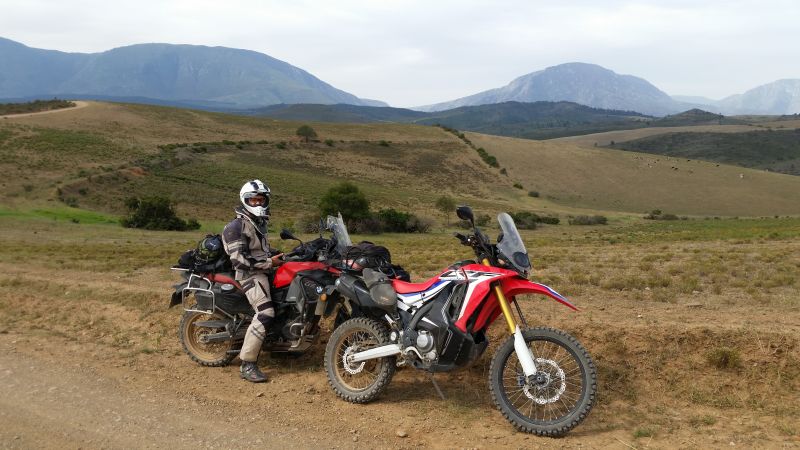
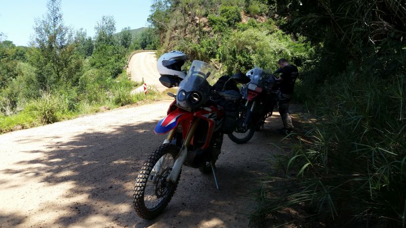
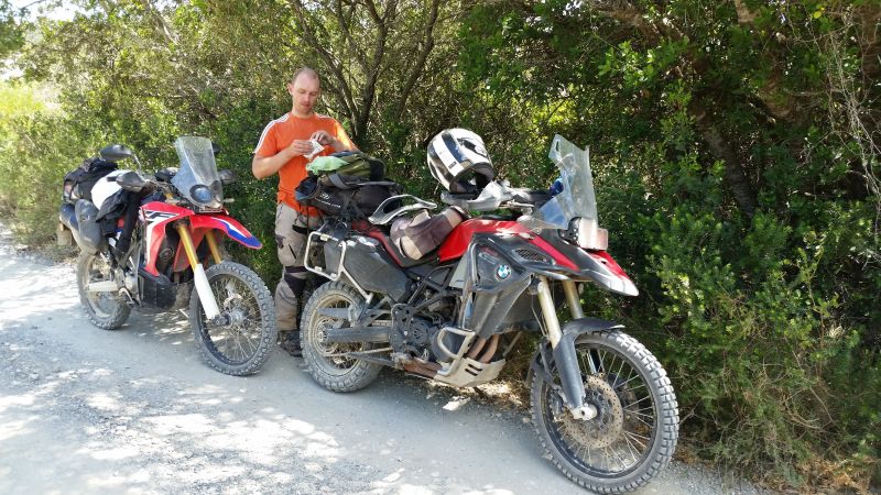
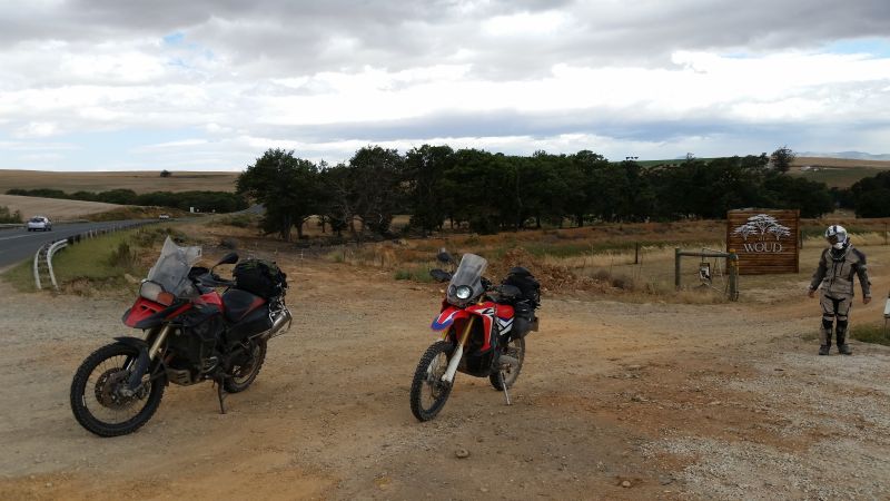
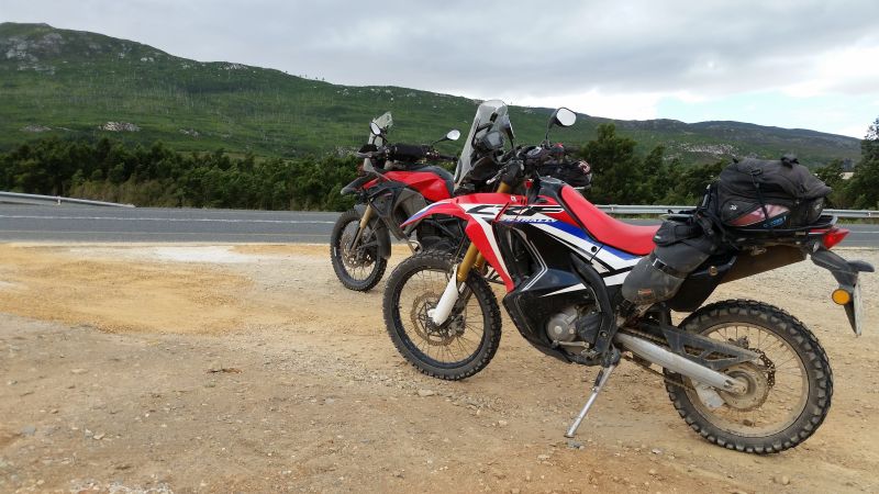
Two sexy beasts in the background and one in the foreground:

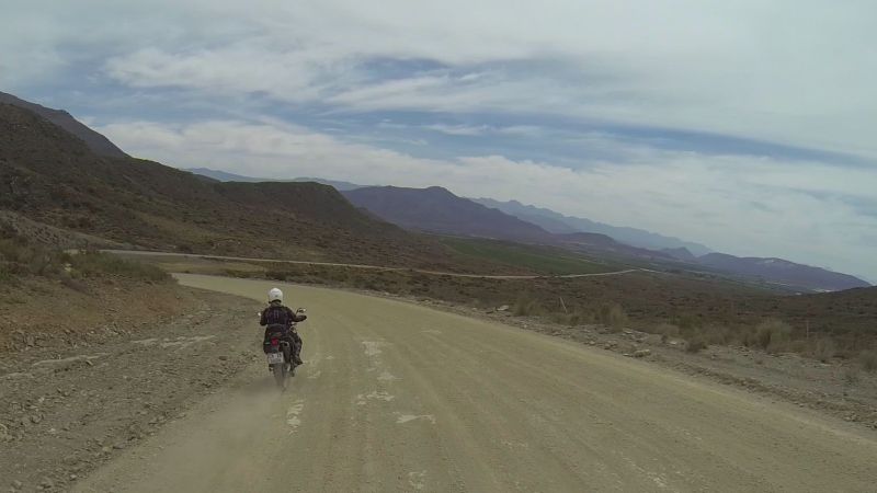
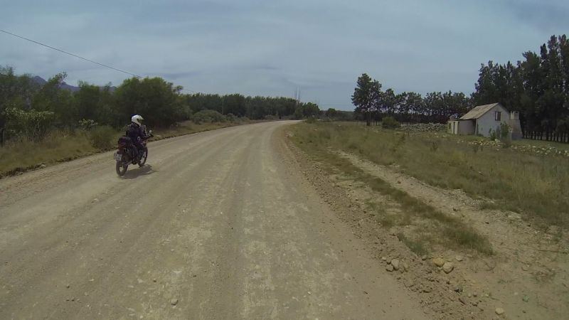
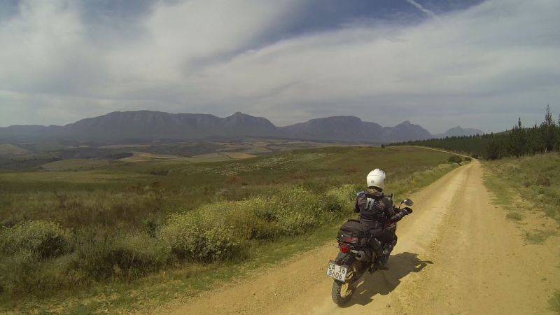
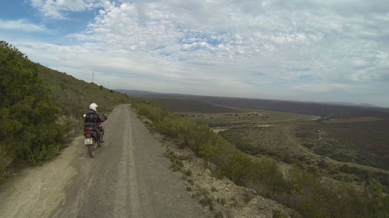
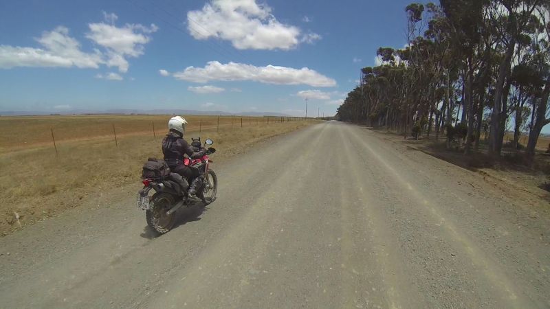
Lonely houses between Swellendam and Riversdale, on gravel north of the N2:

The Langeberge:
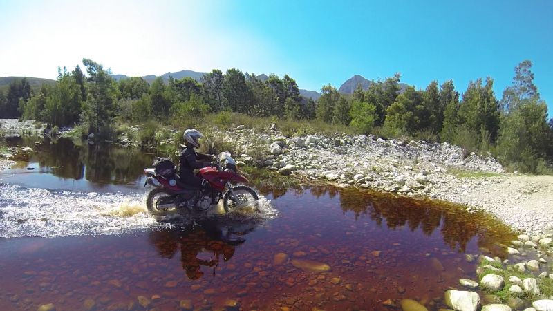
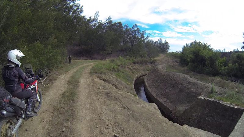
River crossing:
Another river crossing:
The above crossing was particularly sad, because the bridge is new. This is what it used to look like:
We took another helmet break and pondered on the difference in bike size. Apparently it’s all about perspective!
A larger-than life 250:
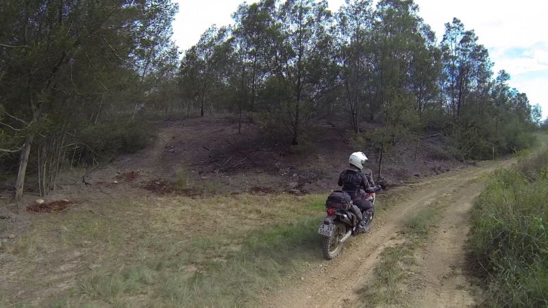
A forested stretch:

More Langeberge:
Korintepoort Dam:
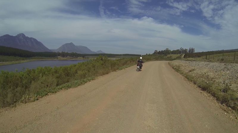
Forever views after Riversdale:
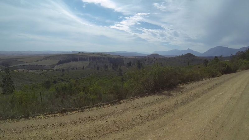
Smaller viewing area:
Now here I must digress to explore the nebulous reaches of my partner’s mind. Until this point, the roads had been pretty, but pedestrian.
Lance’s head was on the swivel constantly (you may pick it up in the video footage) and something like this is what draws him:
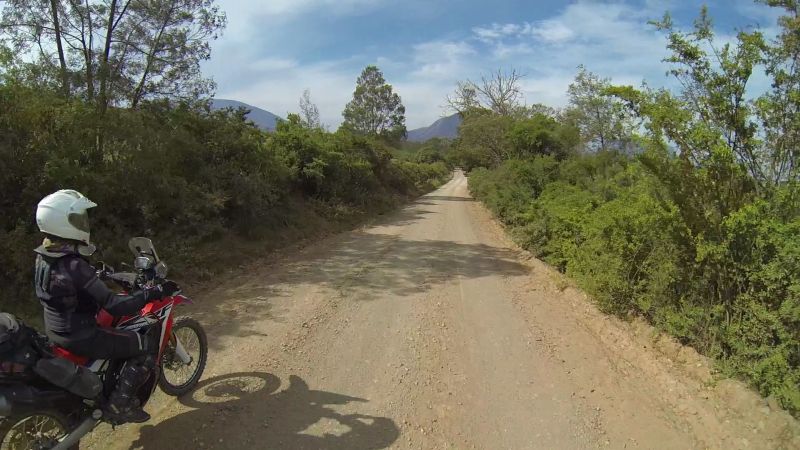
His primal trail urges will be unleashed fully on our exploratory day in three days’ time. Meanwhile, he settled for quaint rural…
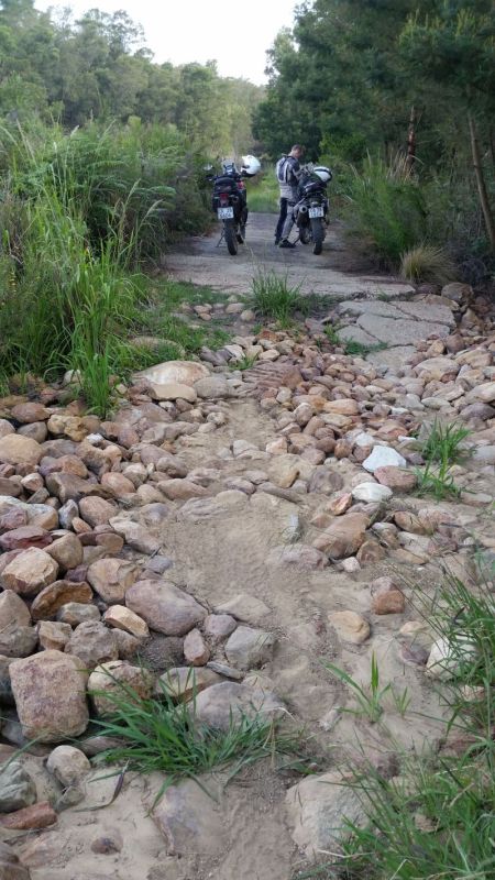
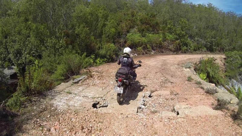
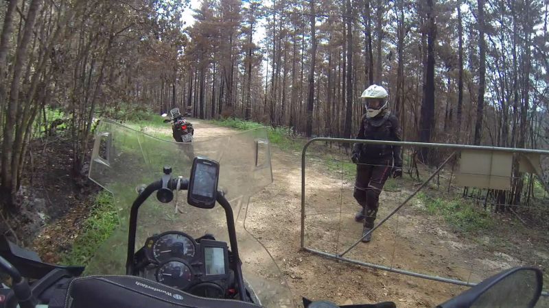
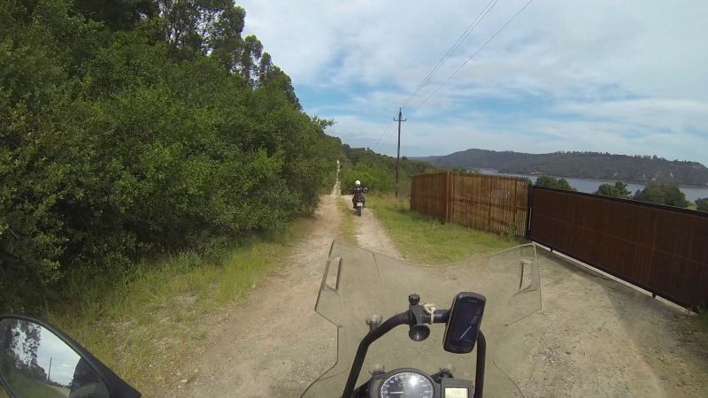
…and a road that was marked as having a locked gate on Tracks for Africa:
Signs that this road does not see much traffic:
This is what makes for a happy Lance:
And since I have a small, nimble bike, I’m happy too!
“Where the heck are we?”
We did not find a locked gate this time. Sometimes you win some.

And yet, Lance was still looking.
That off-shoot to the left caught his attention:
It was already close on 5pm, so Lance was kept in check.
Back on the main drag:
We took a road that was marked by (an older version of) Tracks for Africa as a Gouritz River crossing option. This time we reached a gate that was very much locked; necessitating a 40km backtrack/detour. Sometimes you lose some.
At least it had great views as a consolation prize:
Thanks to the detour, it was now past 6pm…
…and we hit rush-hour traffic.
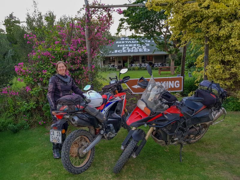
Lance, the eternal optimist, had originally planned a monstrous day of riding. I, the realist, had warned my parents that we would probably take 2 days to get to Sedgefield. It was 6pm and we were nearing Herbertsdale.
We needed to make a decision: blast through to Sedgefield on N2 tar or overnight near Herberstdale and spend another day exploring back-roads. It was a no-brainer.
We phoned Dwarsrivier Country Getaway, a great place where we had camped twice before. We did not have camping kit with us, so were hoping they had a room free, which they did.
We had not had supper yet and, from the way I was feeling, I knew the Dwarsrivier braai-pack option did not appeal to Lance. He was too tired to DIY.
We asked Dwarsrivier to recommend a place to eat in Herberstdale. There was only one: Herbert’s Place. The lady there was expecting us. Obviously Dwarsrivier had phoned ahead. Small town…
Our hostess was owner, waitress and cook rolled into one. Our meals (fish and chips, and calamari and chips) came with a rarity: chips made from scratch!
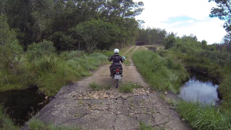
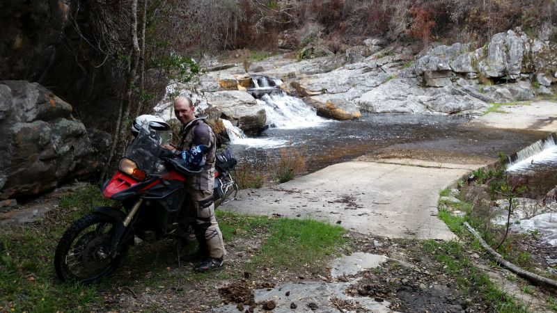
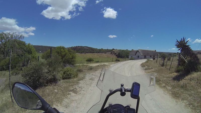
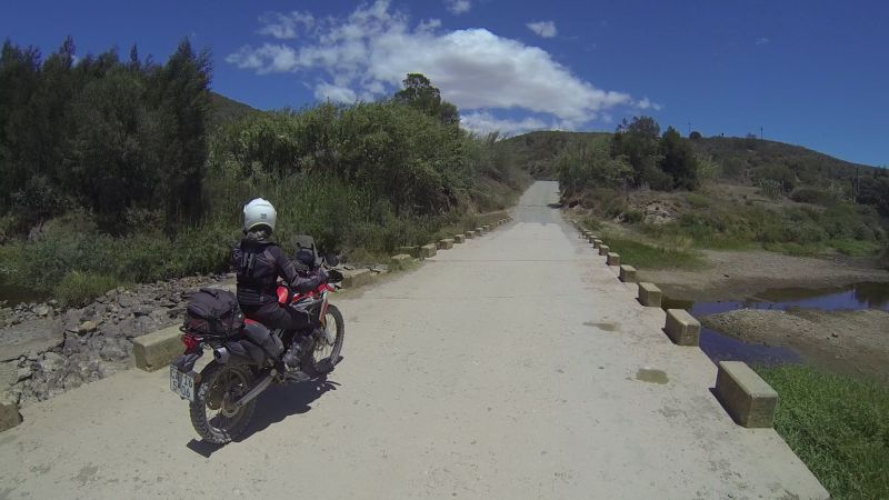
The last 13km leg from Herbertsdale to Dwarsrivier:
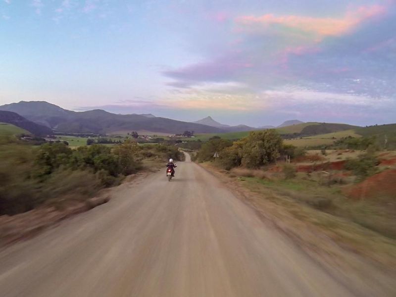
It was 8pm, but thanks to the long summer days there was still light:
We were the only guests at Dwarsrivier that night (a batch had left earlier that day), but Martin and Jenny were happy to open the bar for us and join us for drinks and a chat.
We learnt that the Gouritz crossing dead-end used to be a through-road, but the crossing had been destroyed in a flood and a local had also locked their gate.
DAY 2 (22 Dec): Herbertsdale to Sedgefield (234 km)
Stats
Total time: 7h14 (32 km/h)
Moving time: 6h34 (36 km/h)
Resting time: 0h40 (eish!)
Maximum speed: 108 km/h
So many loops…
Morning at Dwarsrivier:
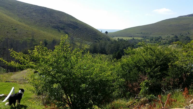
I cannot recommend this place highly enough. The setting is beautiful, Martin and Jenny are lovely people, the price is much lower than any nearby accommodation, value for money is high, and they are biker people.
But if you have a heavy bike and are new to riding, the driveway will be intimidating. It is very steep!
A flatter section of the Dwarsrivier driveway:
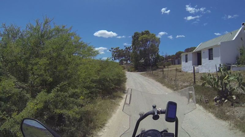
We set off at a lazy 9:30; refuelling in Herbertsdale – the co-op was luckily open from 8am until noon.
We had declined the Dwarsrivier breakfast option, as Lance said we could find a spot to eat later in the day when the hunger pangs set in. Ja, right. We didn’t see another town until 3pm.
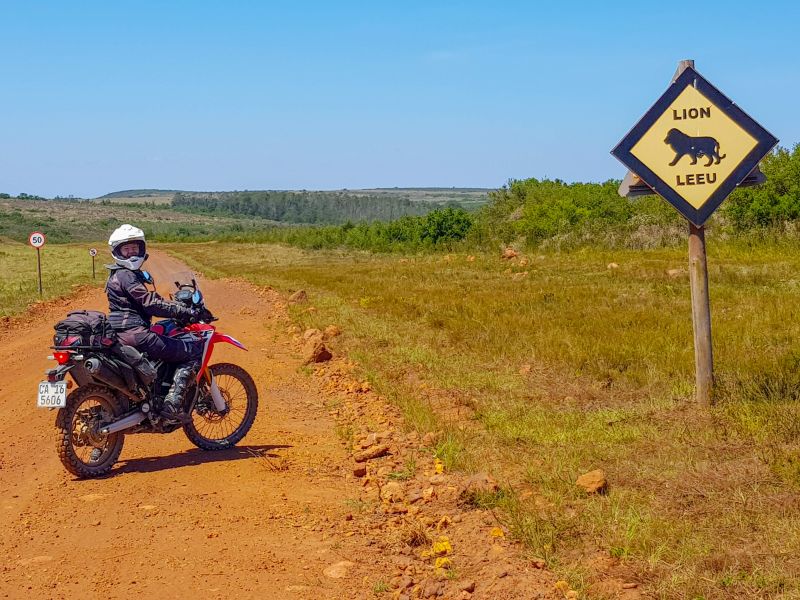
Within an hour of our start, we were in a game reserve. I kid you not. There’s a public road running through Gondwana Game Reserve. The reserve contains the Big 5. All of them…
Can we go now? These bushes can hide anything!
Lance and some zebras:
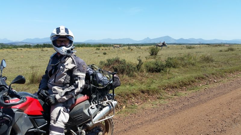
We saw all manner of herbivores, but the GoPro footage doesn’t capture it well unless they are really close.
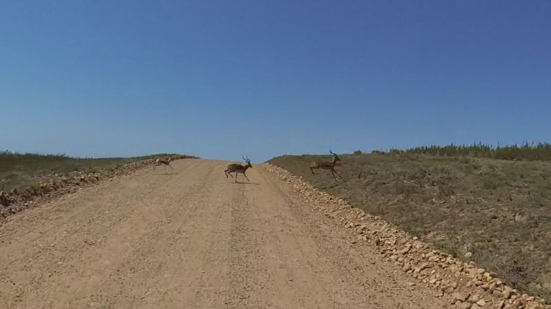
Two (I’m guessing) impalas, followed by a springbuck:
We stopped next to a smallish pond. I thought I saw some birds on the water’s surface. Until the ears moved!
Not very clear, but there are two hippos there:
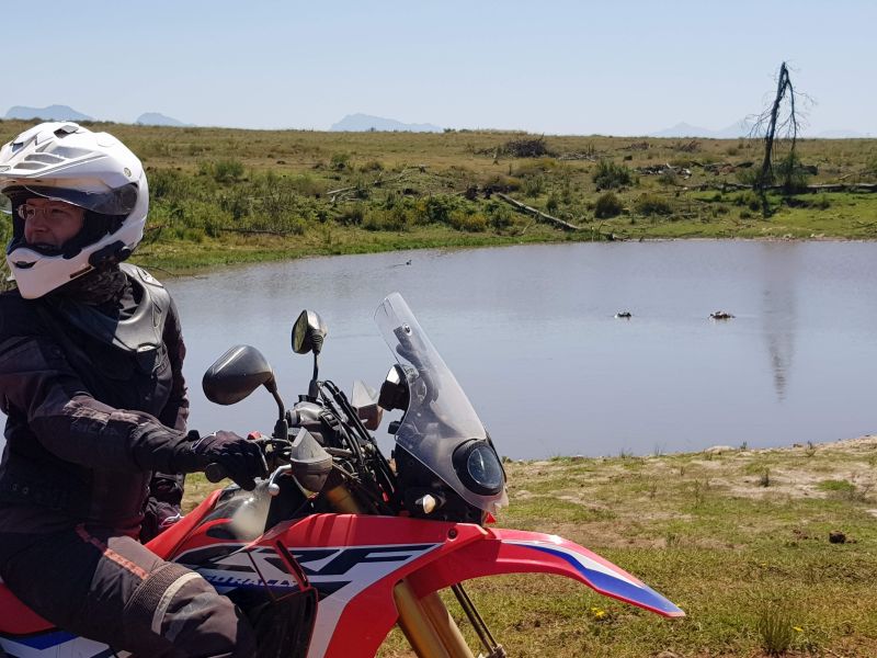
Steppe buzzard (I know my birds better than my bokkies):
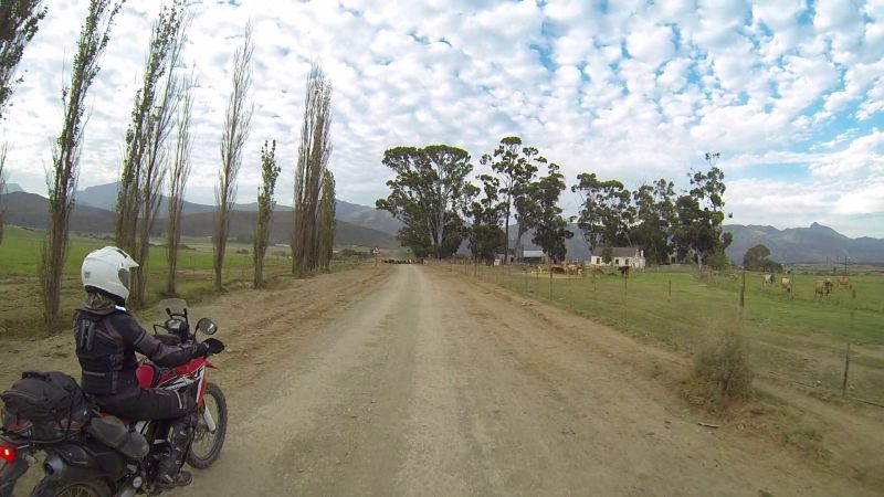
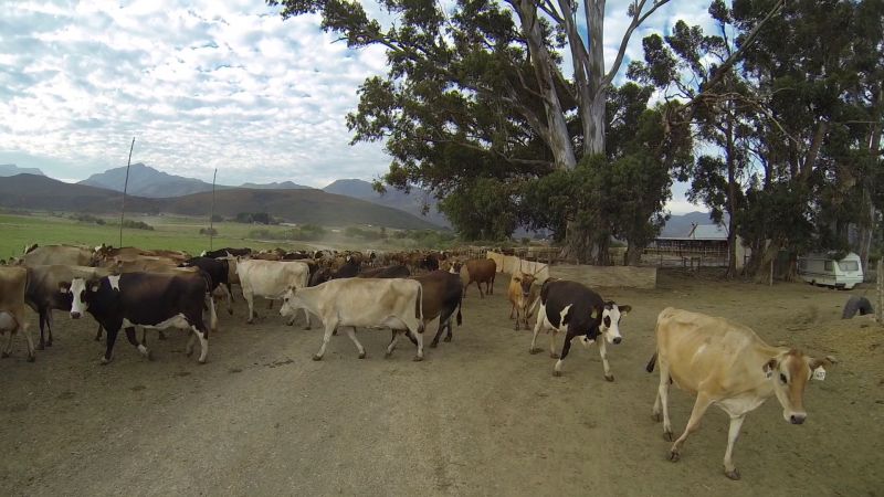
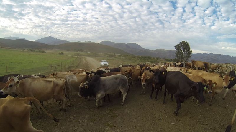
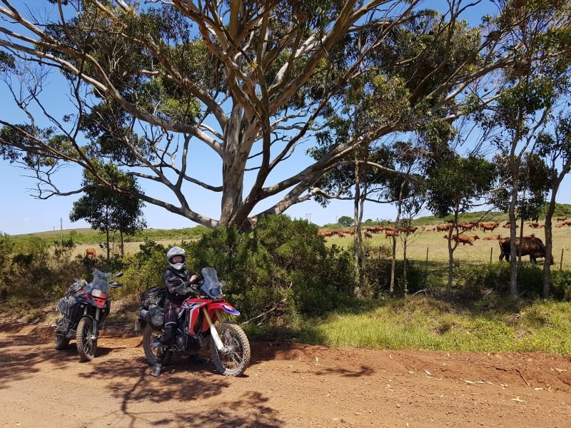
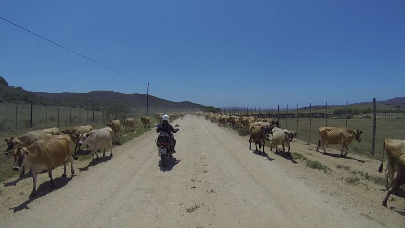
Soon we were outside of the park, where the only common large ungulates are cattle:
Scenery:
Hartebeeskuil Dam:
We found another park – I suspect the Hartenbos Private Game Lodge.
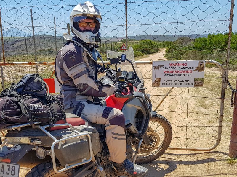
Contrary to the dire warning sign, we didn’t see any game here; dangerous or otherwise.
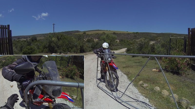
The only dangerous and otherwise object to be found was a gate.
Release me, foul metal demon!
Traffic is hectic on these back roads:
We found yet another game park, but this one (Botlierskop) was impassable. It has a pay-on-entry guests only policy and, from the look of the place, I don’t think it’s cheap. There used to be a through-road at some point, but it is washed away. This added 20 km of back-track and detour, but we didn’t mind. This was a ride-and-see trip. The Botlierskop “driveway” was quite pretty.
Lance was eyeballing every little side-road to be found:
Eventually he couldn’t take it any longer and we had to go explore.
Only to find that (on average) all good things come to an end (at a gate).
Thanks to a trick learnt during off-road training, turning around on a steep hill is easy: stall in gear and use the clutch (not the brakes) to manoeuvre. Now if only there was an easy way to turn around when facing downhill… I’m not on pivot-turn skill level.
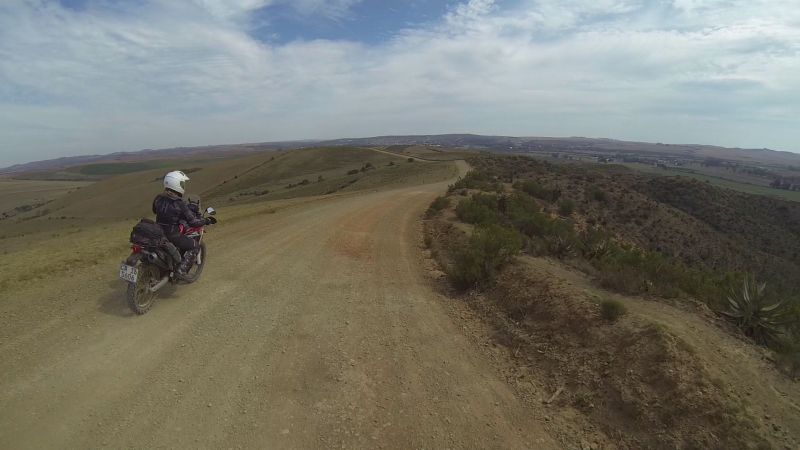
On top of a ridge, with forever-view to the left…
…and the right.
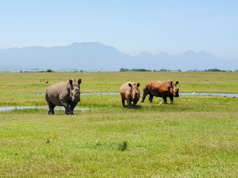
I think we were still skirting the outer edges of Botlierskop Game Reserve, because we kept coming across their signage on our detour. And then we see something amazing.
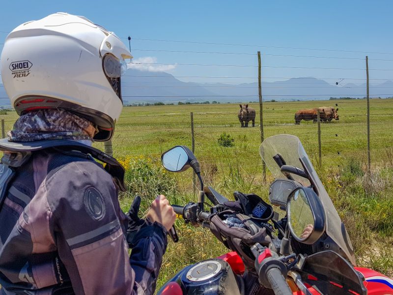
There were another two rhinos to the left of these three:
We were behaving like shy wildlife ourselves. The only time we came close to a town was due to error.
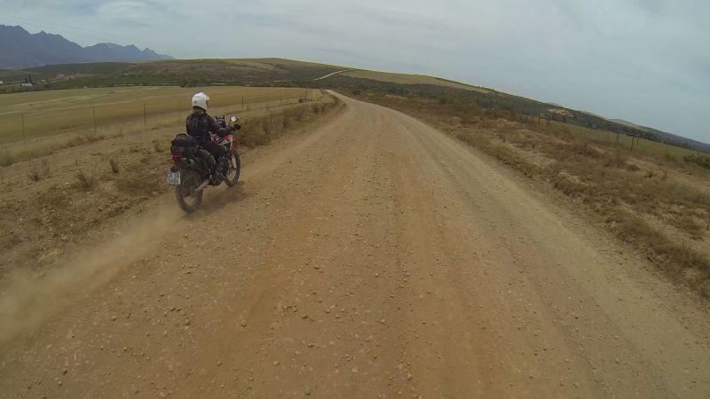
Groot Brakrivier in the distance:
We took a wrong turn and rode a 20km loop through Greenhaven and Wolwedans. We didn’t stop, despite our meagre rations. Let me mention here that I was fuelled by one peanut bar and two handfuls of trail mix!
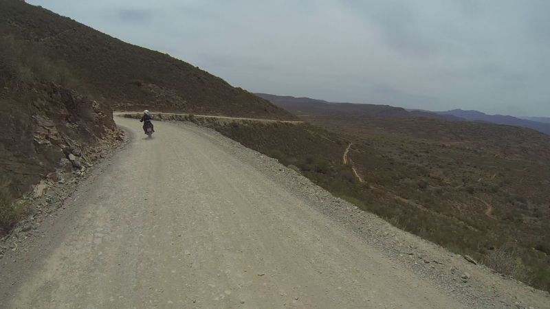
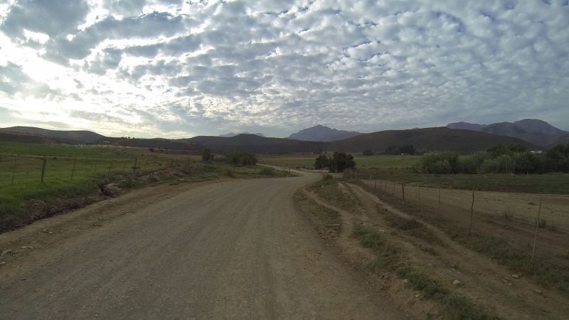
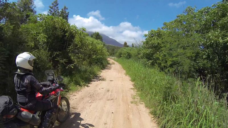
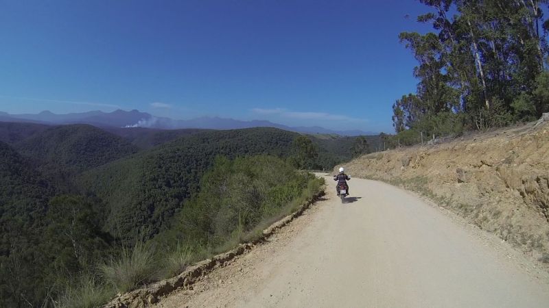
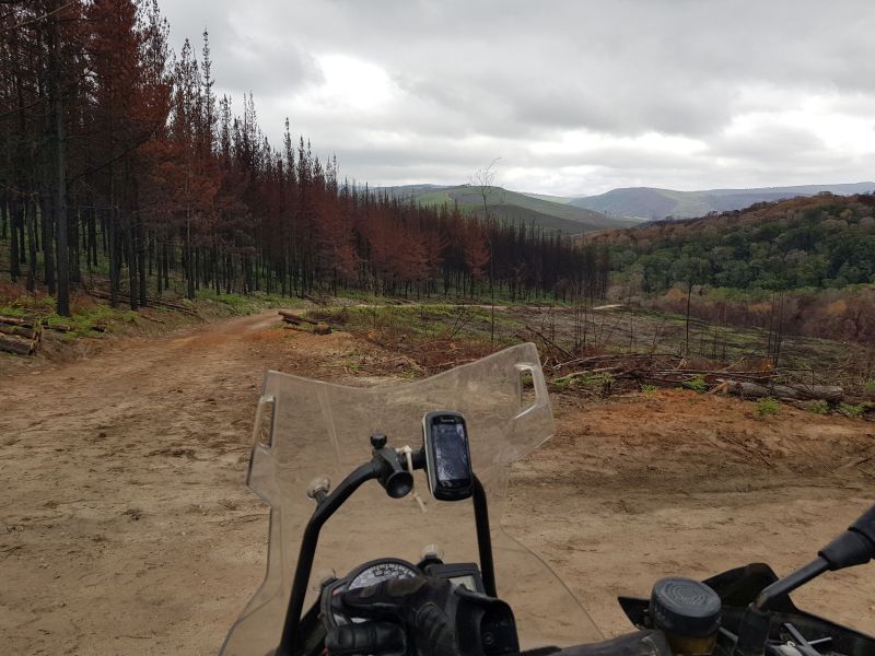
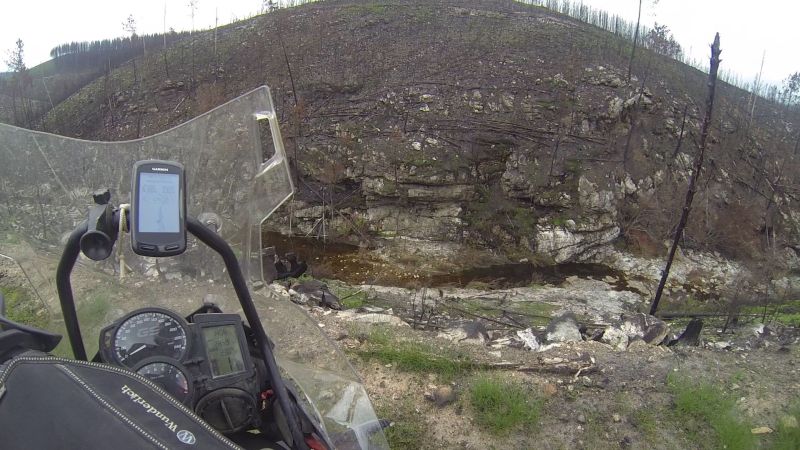
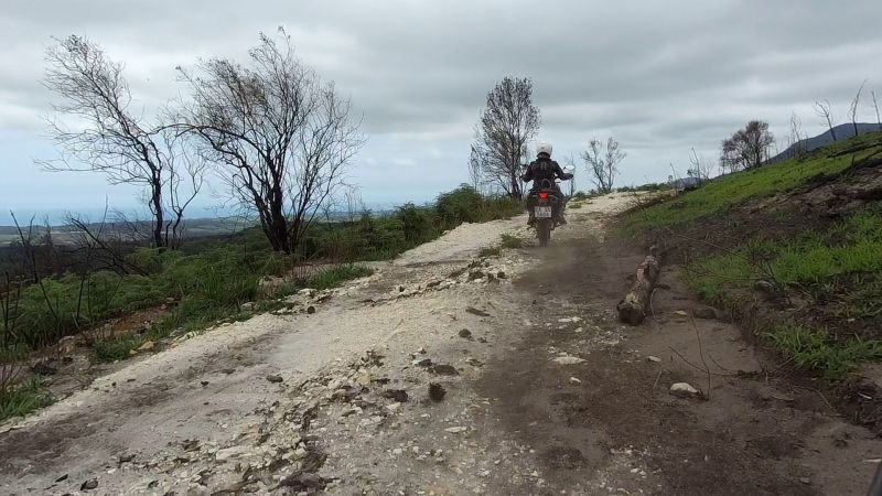
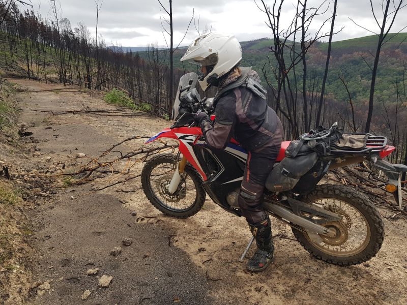
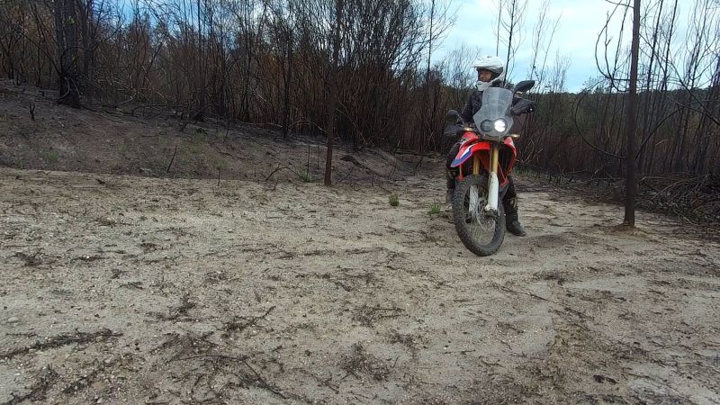
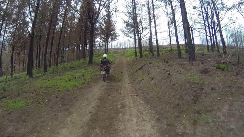
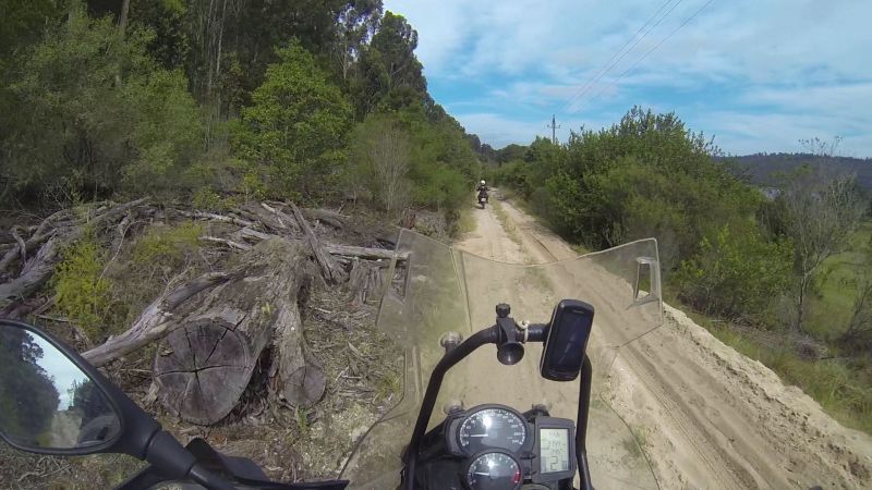
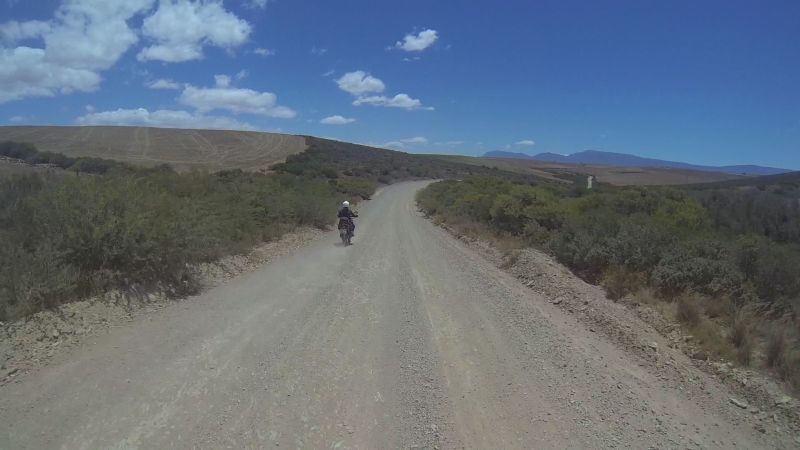
The last gravel leg of the day saw us heading into the mountains to see whether there were any gates.
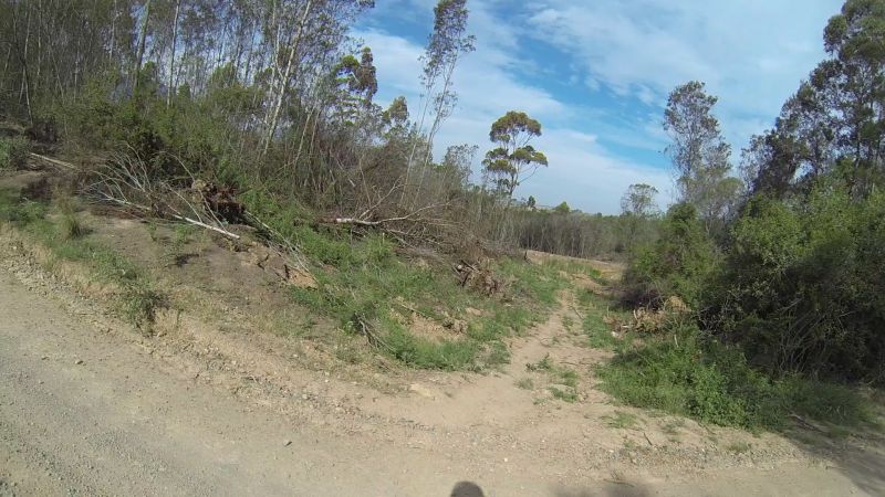
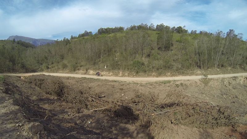
We did see a couple of warning signs about tree felling, but given the time of year (Christmas season), the place was eerily quiet. It was also beautiful, despite its recent destruction.
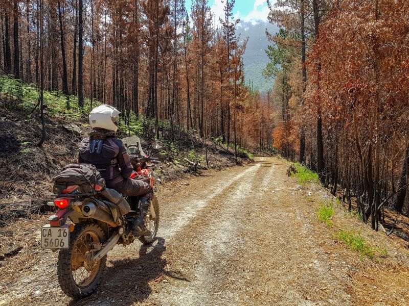
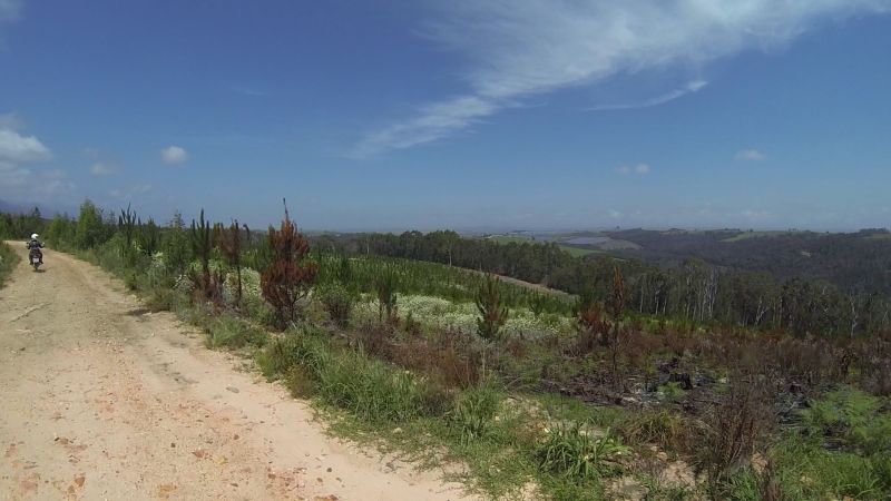
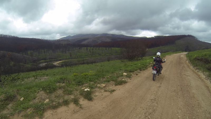
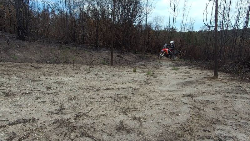
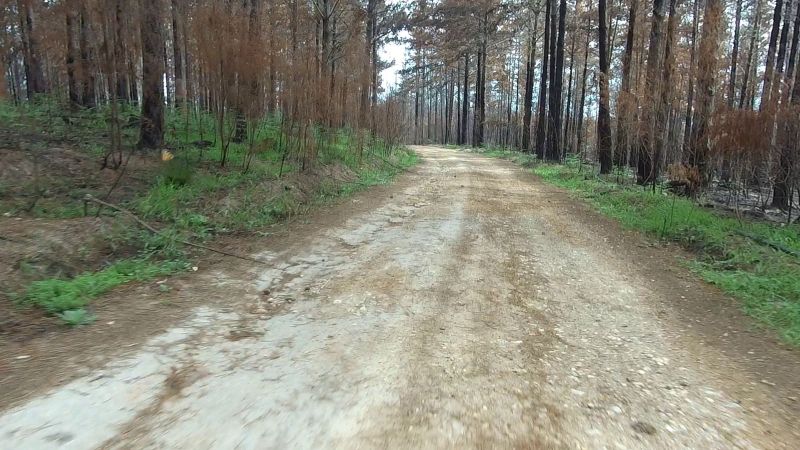
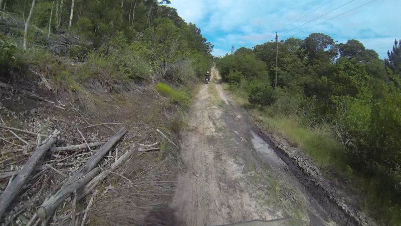
The landscape after fire Armageddon:
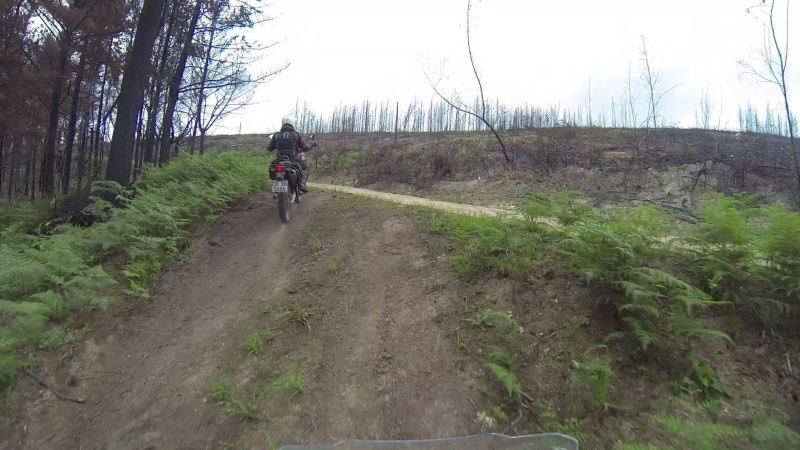
The level of burn ranged mostly between half and full toast…

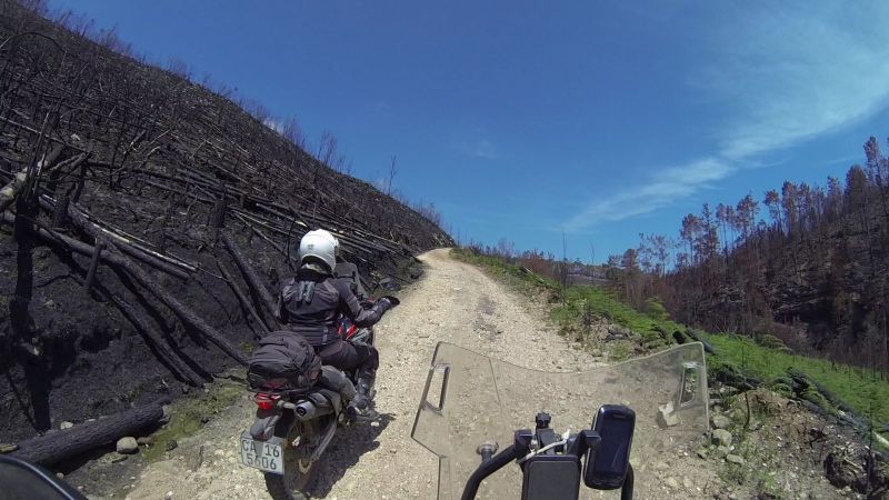
…but there were some few small pockets, pine-free and in the kloofs, that only received a mild singe or escaped altogether.
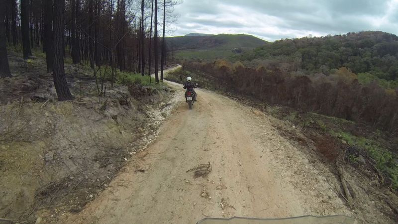
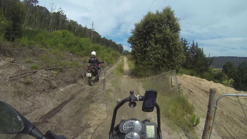
The lower reaches survived better than the mountains:
Looking a bit worse for wear:
Apparently a mountain bike fun ride went through here (Lance looked it up):
We could see George from here:
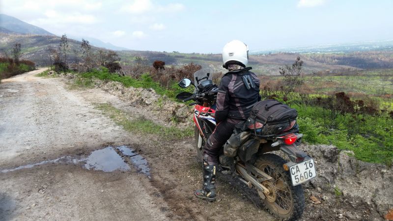
By this time, my parents were wondering why it was taking so long for us to get to Sedgefield from Herbertsdale, despite the warning that we were taking the “long way around”. We sent them the above photo and they were even more bemused. Where were we?
According to Google Earth, if we kept going and there were no gates, we’d end up on Montagu Pass. We didn’t keep going though. My backside was taking strain after two long days on a plank. We spent 40min of today’s ride stationary and some of that was, as on the above picture, still on the bike. I need to find myself some “boy panties”. This doesn’t mean “I have to man up”. It’s an actual underwear option. The placement of the seams of ordinary panties leaves much to be desired. I had some serious chafe.
To the left, more mountain. To the right, the way out. We went right.
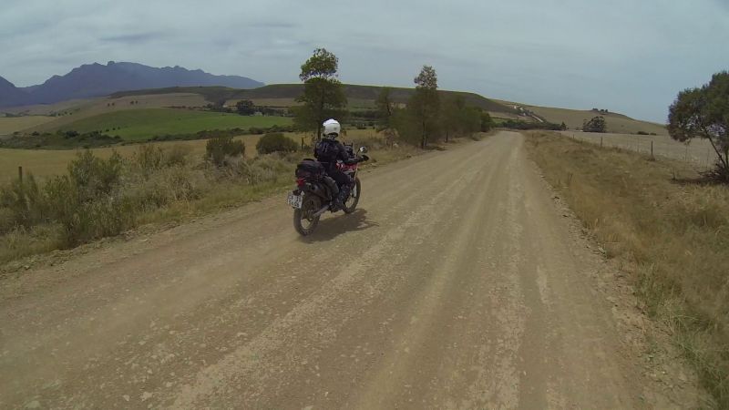
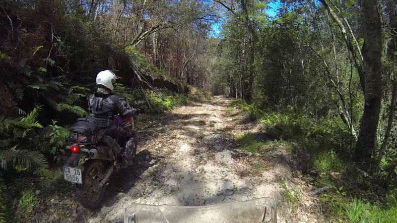
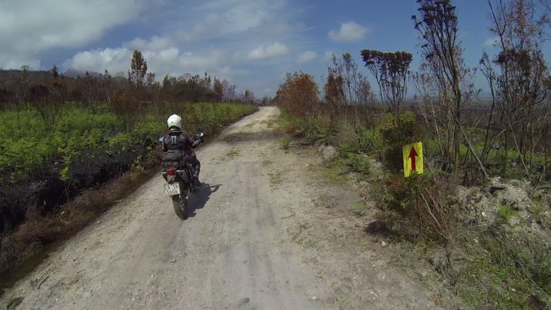
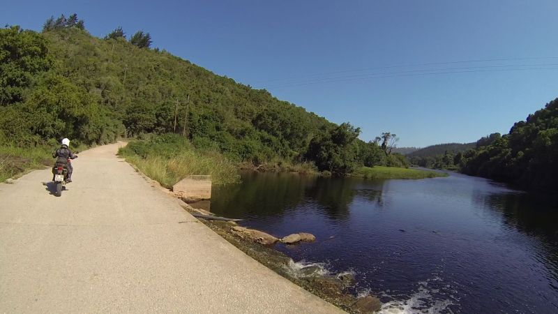
We still didn’t feel like N2, so we stuck to the Seven Passes Road, followed by Hoogekraal Road and Karatara Road.
Touwsrivier:
I hope they manage to douse this fire:
Karatara River:
We finally arrived in Sedgefield at 4:30pm and did great justice to my Mom’s stir-fry. The peanut bar power was running low.
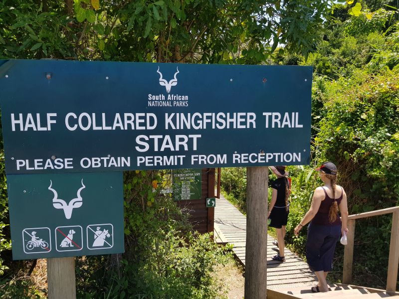
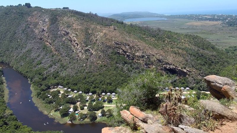
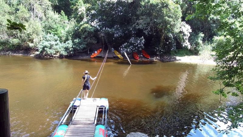
DAY 3 (23 Dec): Hike and canoeing (0 km)
We took a break from biking today, so my apologies if the photos do not appeal to the 2-wheel addicts. Tomorrow will have plenty to make up for it.
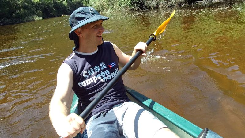
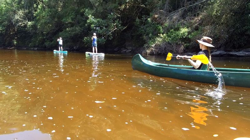
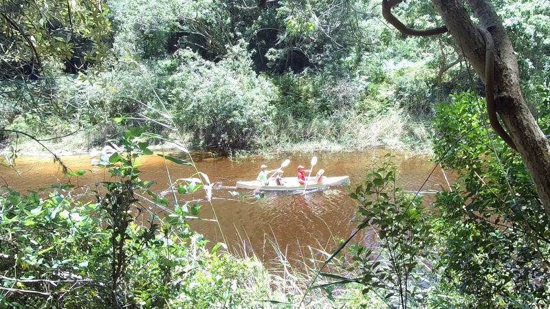
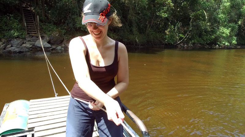
My sister was also visiting, so she, Lance and I all piled into her car and headed to Eden Adventures in Wilderness. The first activity for the day: canoeing.
Me:
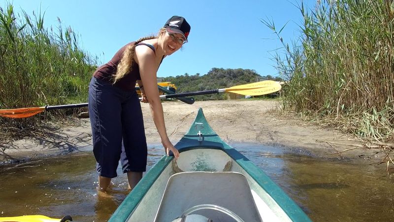
You could hire a canoe or stand-up paddle board as your method of travel up the Touwsrivier. Lance only spotted the SUPs afterwards, otherwise he would surely have gone for that option.
Me:
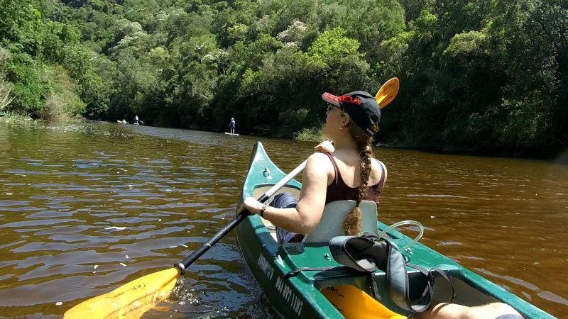
You have the option of a 1-hour or 3-hour hire. The 3-hour option is for those who want to head up the river, stop at a designated spot, hike to the waterfall, and then paddle back.
Lance:
It’s cheaper to do the hike separately, so we went for the 1-hour canoe option. Then you can also take your own time for the hike.
My sister:
We spotted an extended family paddling up the river minus canoe or paddle-board.

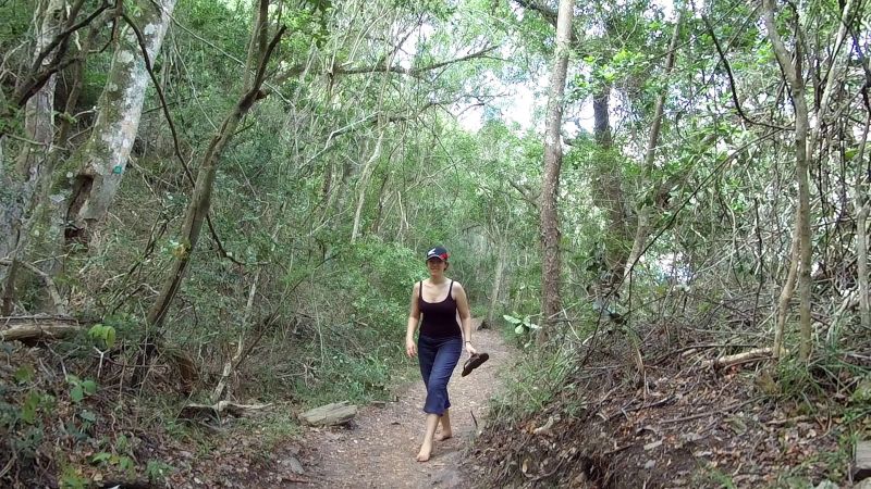
The second activity for the day: hiking.
Sadly no bikes allowed:
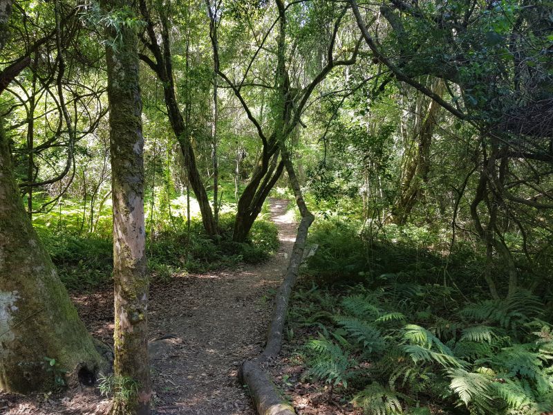
My sister is a point A-to-point-B person, so she steamed ahead.
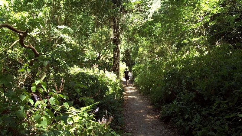
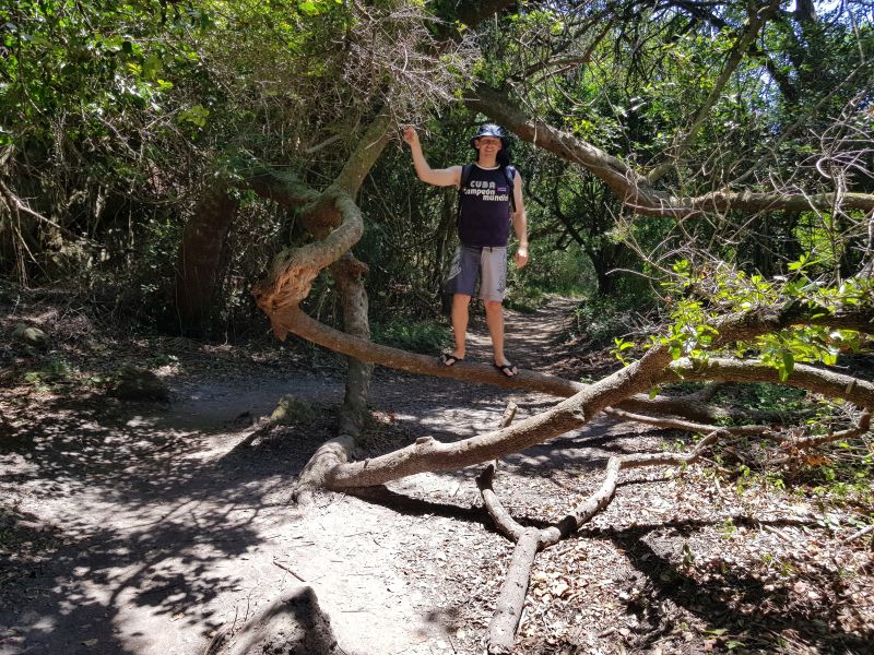
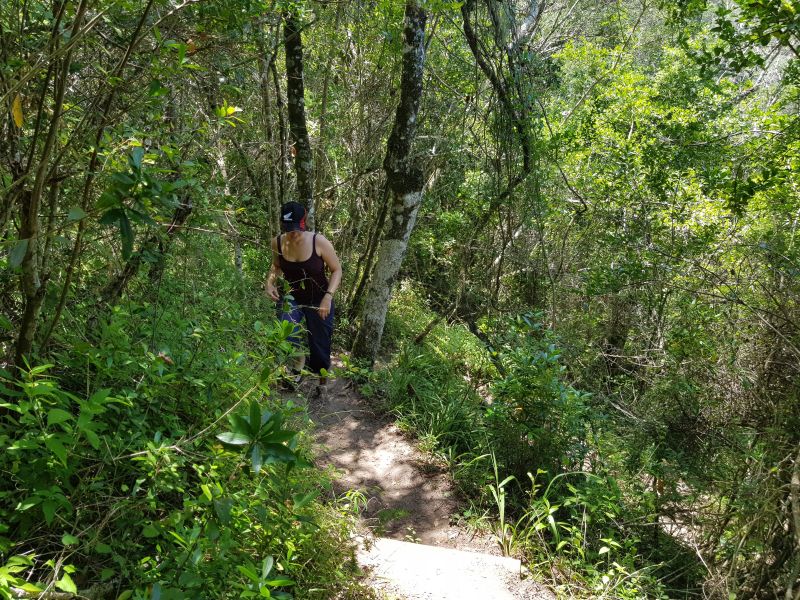
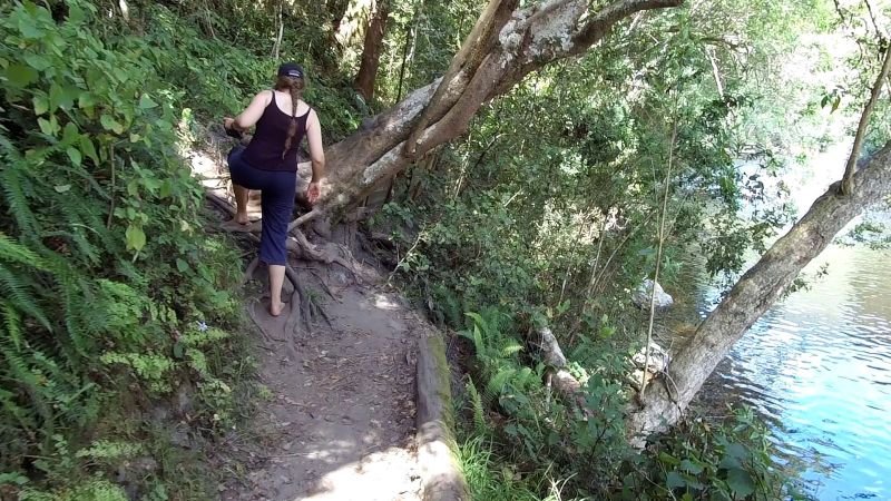
Lance is a let’s-take-the-lesser-known-route person, so we branched off the main trail onto one with red feet painted on the signboard. We should have taken the warning: your feet will be red after this longer and steeper route. We weren’t wearing the best shoes for a serious excursion.
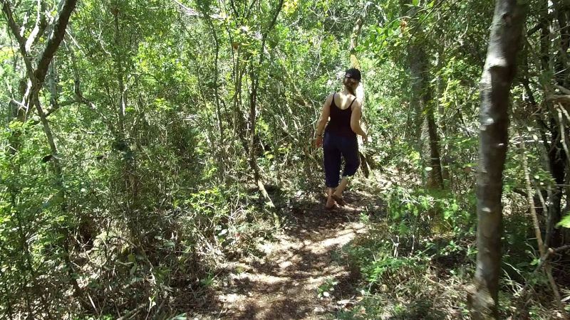
Thanks to my regular weekend dirt-biking excursions and today’s hiking, I get to face my phobia: ticks! They give me the absolute heebie-jeebies. I could see them placed strategically on the ends of grass blades at the path edges. Give me snakes and spiders any day!
The alternative route zig-zagged as close to the vertical plane as it could. You can just make out the lower track in the photo below:
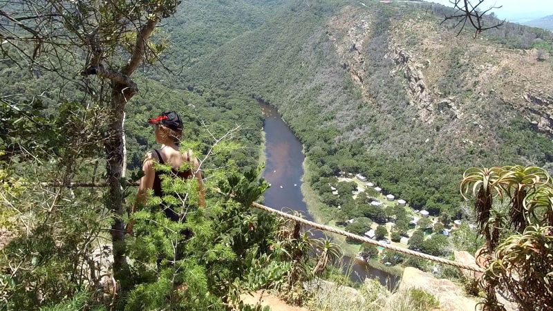
The view at the top made the tick-gauntlet and death-by-steep-trail worth it:
The alternative trail dropped back down to the river almost as fast as it had ascended the mountain. I had to work hard to keep my footing on some particularly steep sections. Again, the slops did not help.
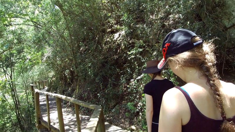
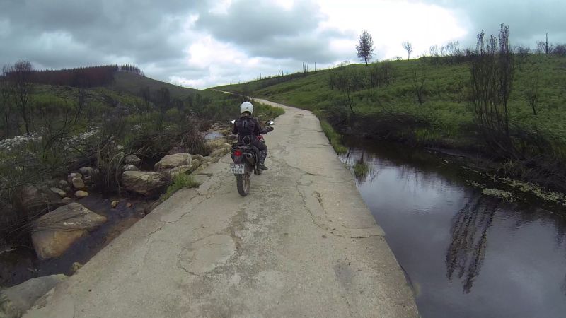
Once back at the river, we were treated by a boardwalk:

This was the river we had just paddled. It was quite busy.
A family outing:
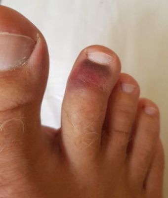
You have to watch the tree roots. If you kick them, they “kick back” hard.
Lance’s toe by the end of the day:
My sister, who had arrived at the waterfall about an hour ahead of us, came to look for us. She does care!
Being escorted to the waterfall:
The waterfall:
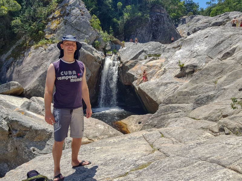
There were many pools where you could cool down.
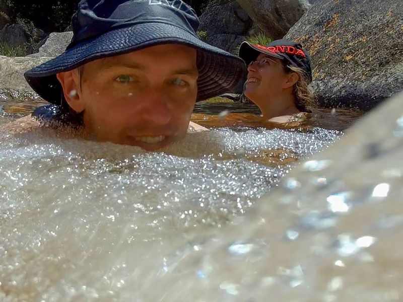
I think we had dibs on prime real estate. In the photo below, check the dude behind my sister, pointing to our spot. He and his stukkie arbed around awkwardly until we vacated our cold Jacuzzi; obviously keen for second dibs.
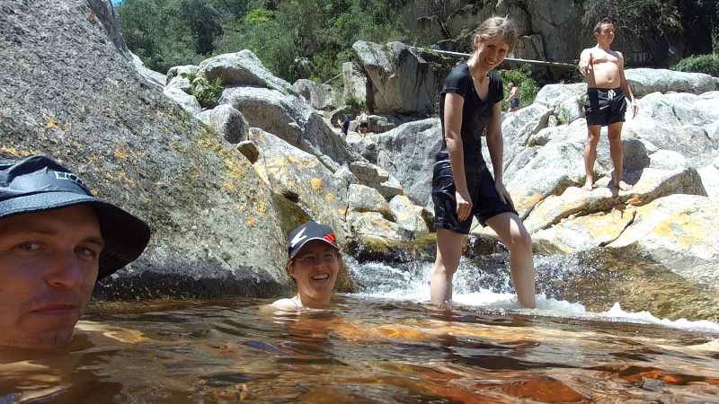
On the hike back, we got to cross the human-powered pontoon. On the hike to the waterfall, Lance and I had crossed the river higher up, where you could stone-hop across. The pontoon crossing was more fun.
My sister jumped ship and swam across:
Lance and I used the pontoon:
Towards the end of the hike, I was farming blisters. The slops were abandoned as damage control.
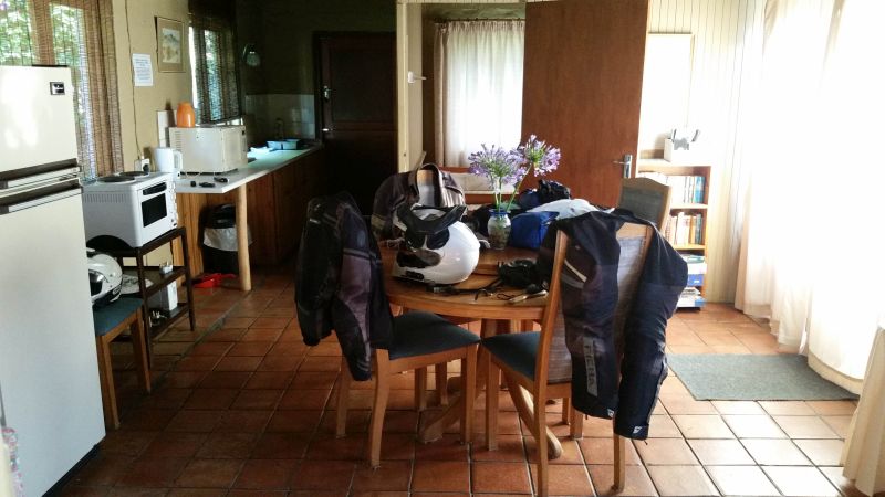
Back in Sedgefield, Lance tested whether his toe could handle a biker boot. Thankfully it could. Tomorrow we ride!
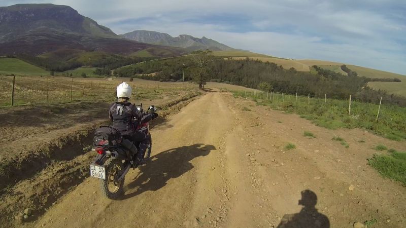
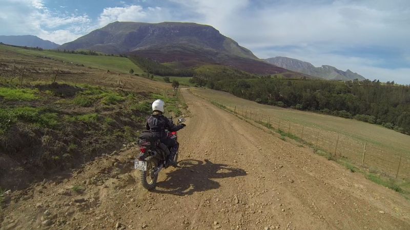
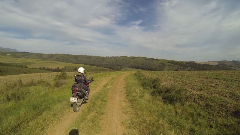
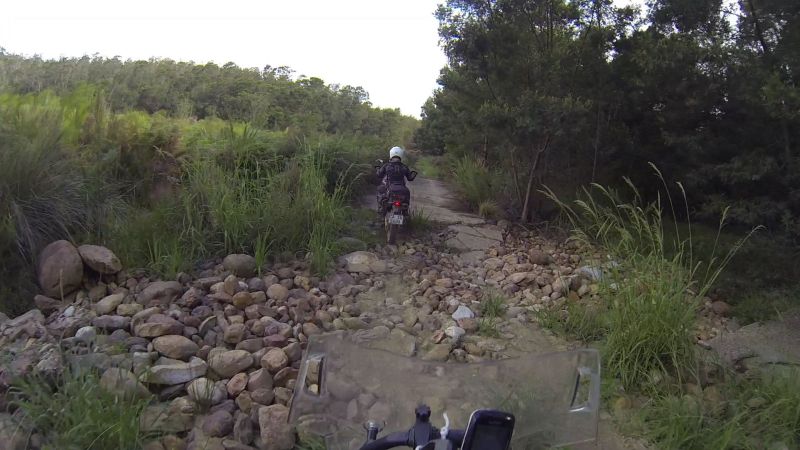
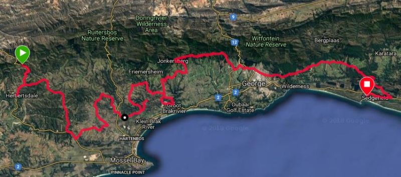
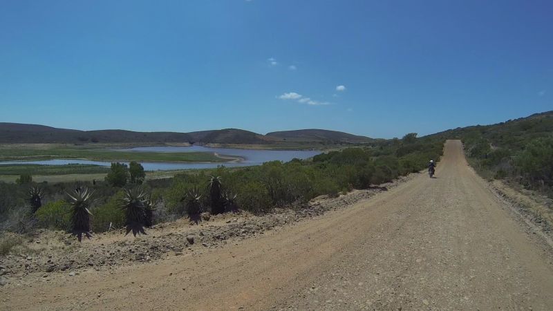
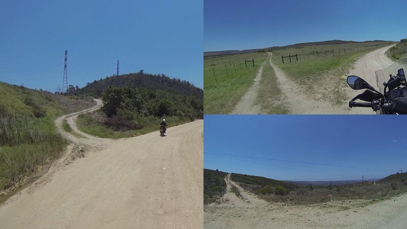
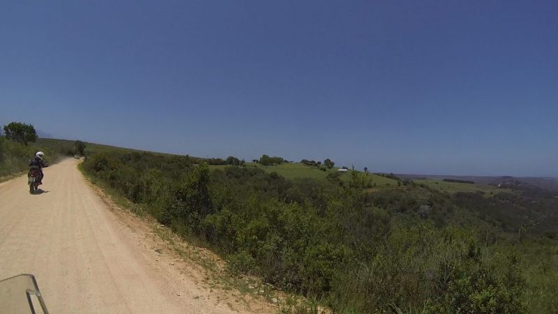
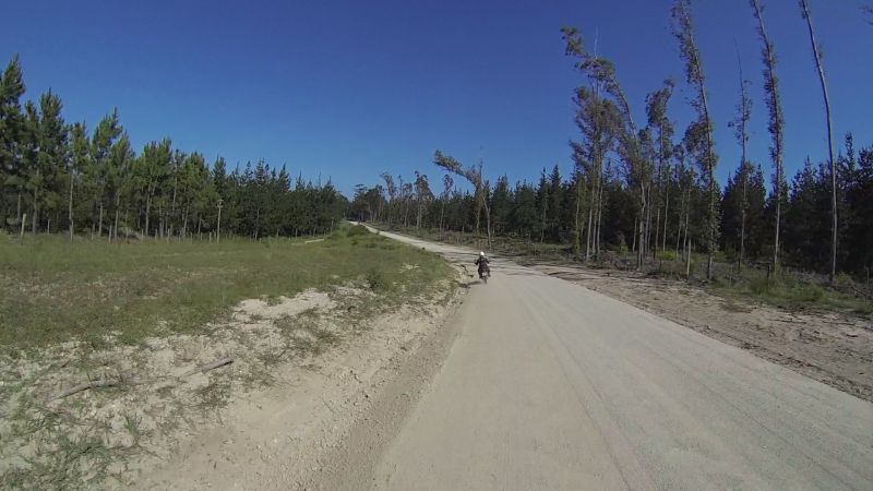
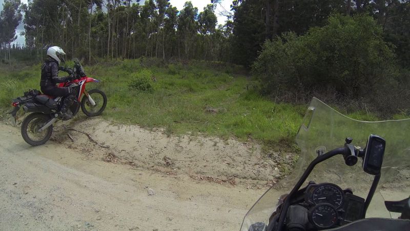
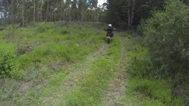
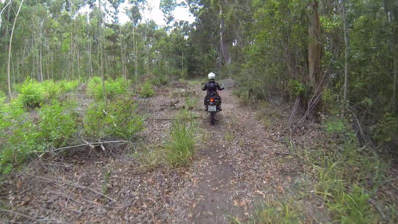
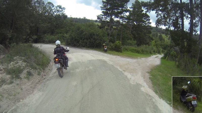
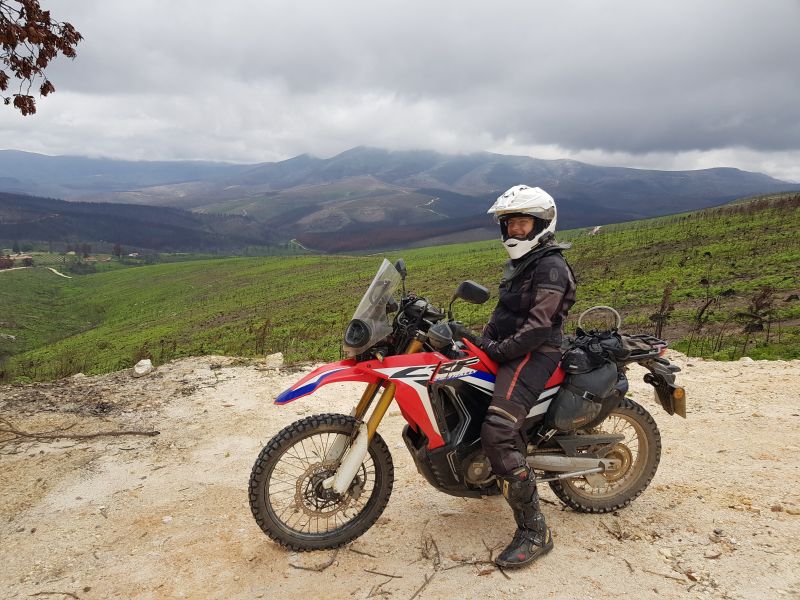
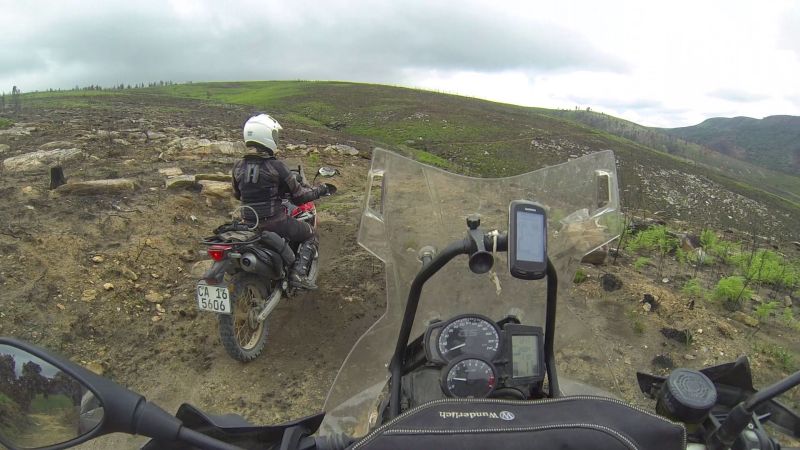
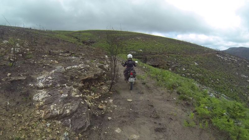
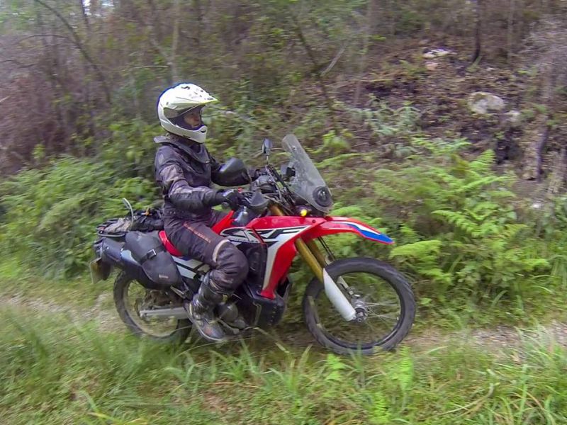
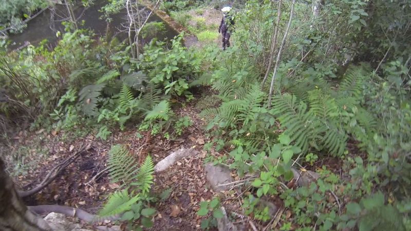
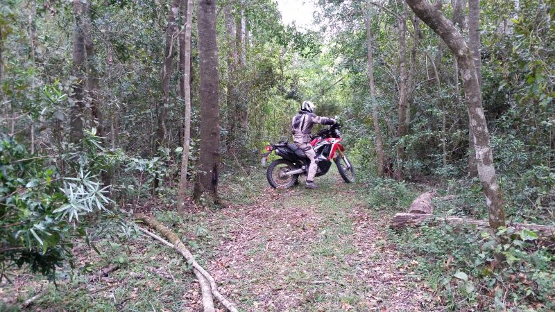
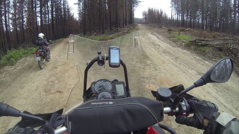
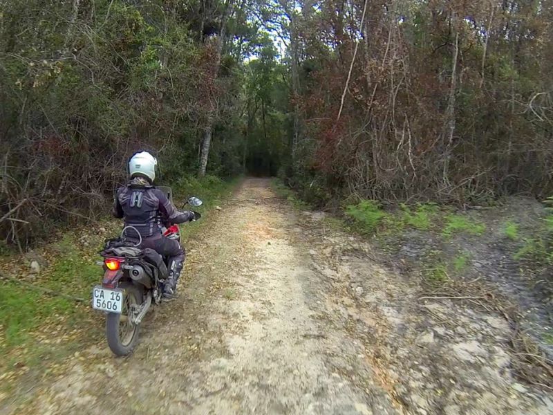
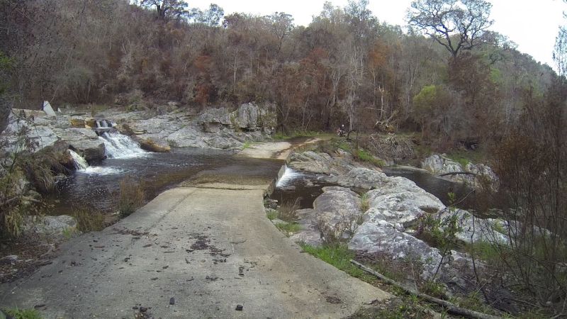
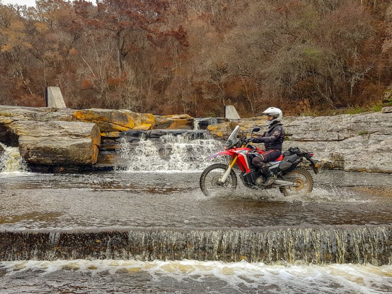
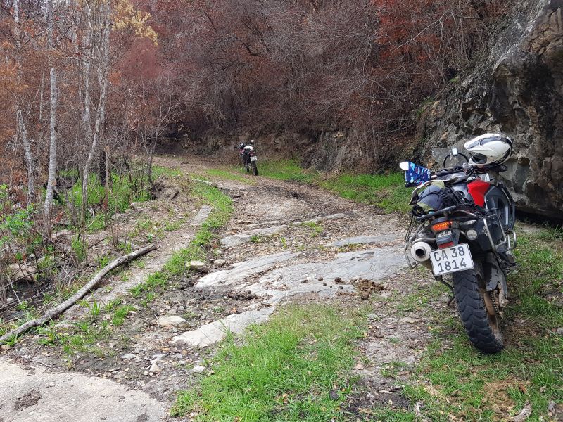
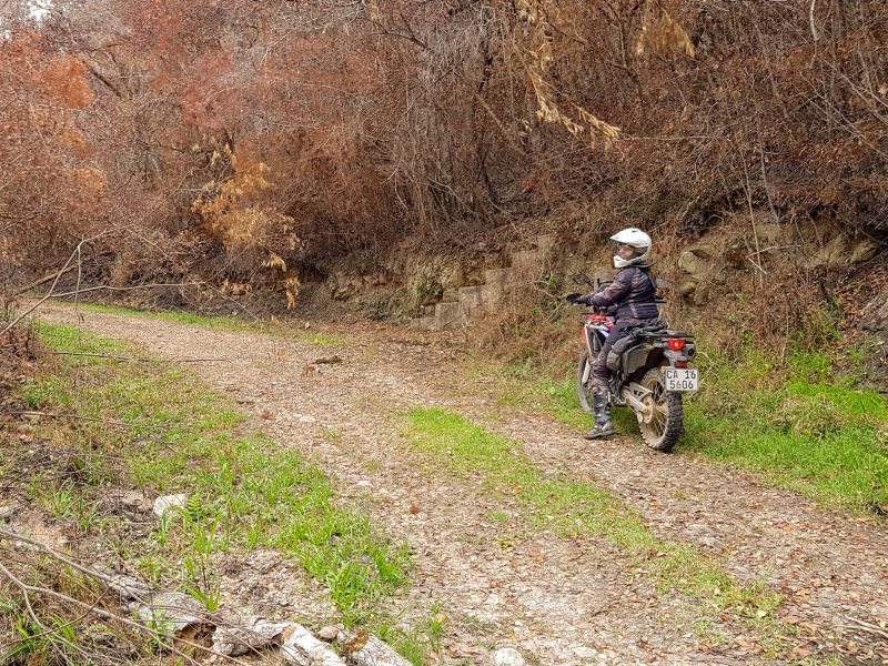
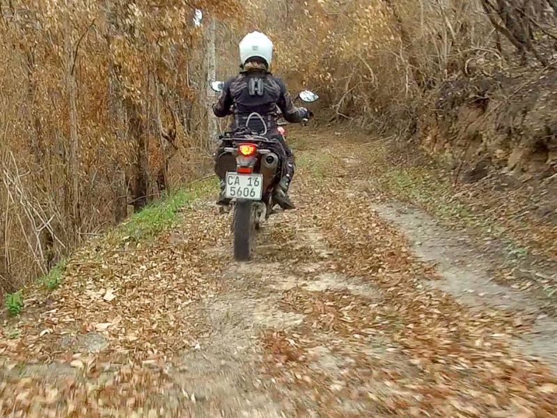
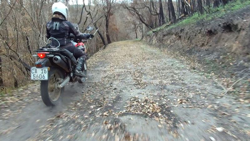
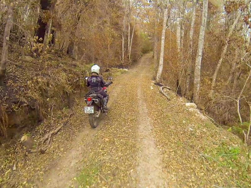
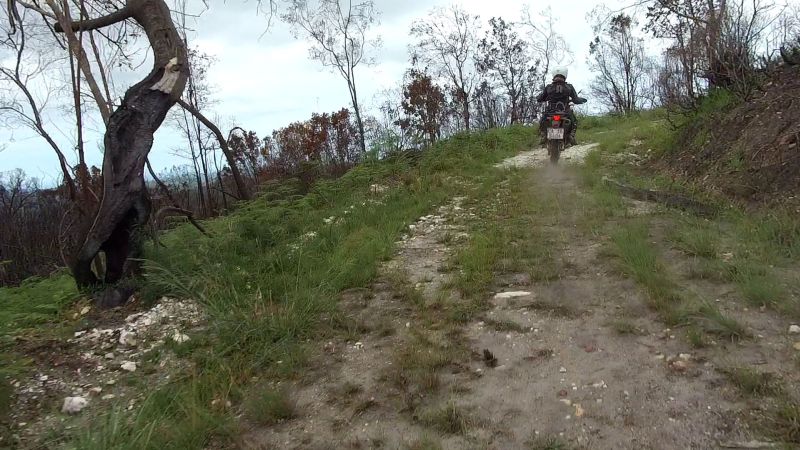
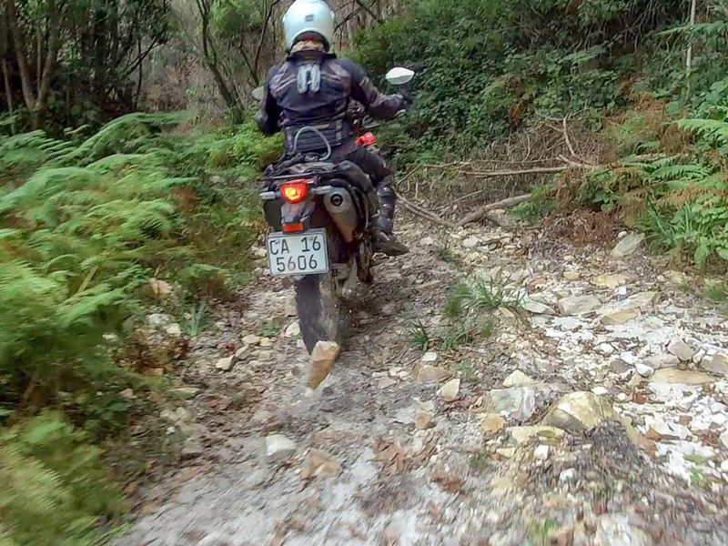
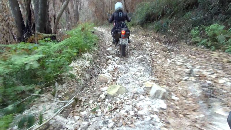
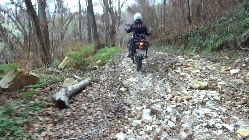
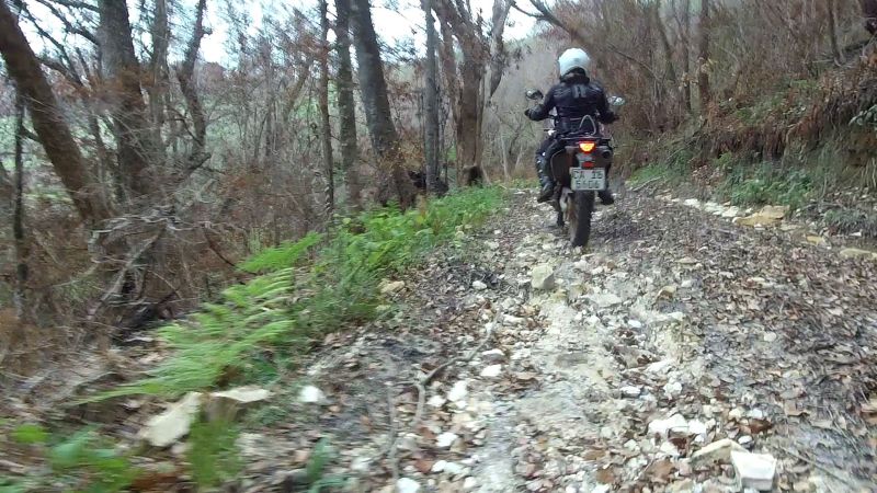
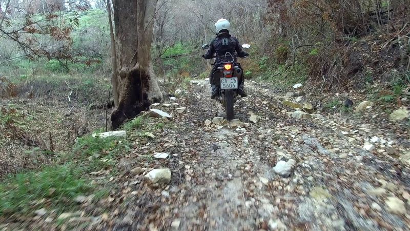
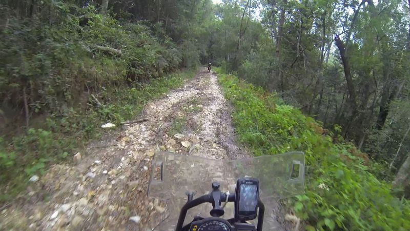
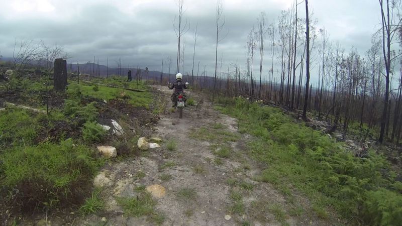
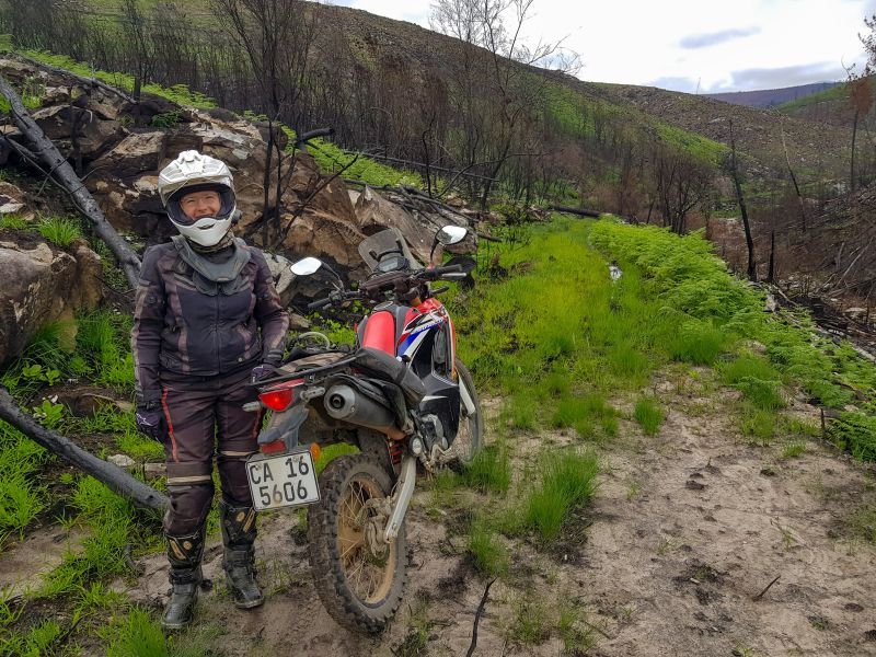
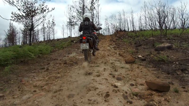
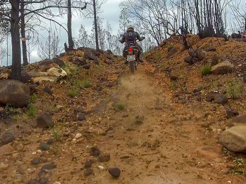
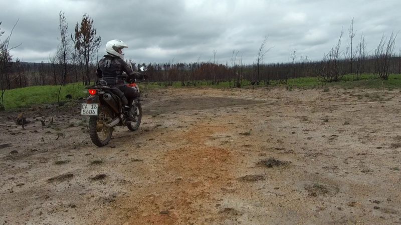
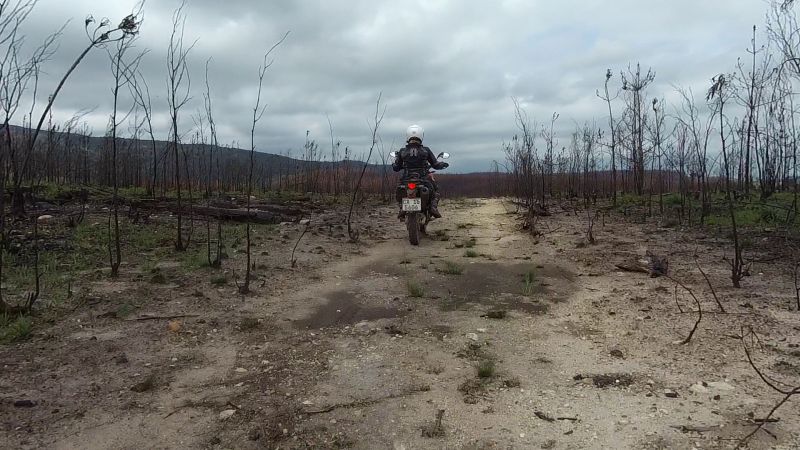
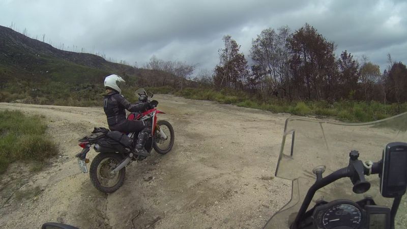
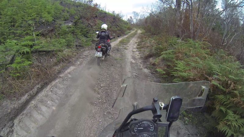
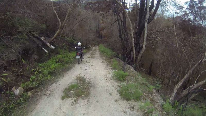
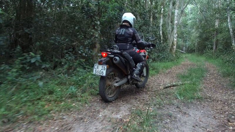
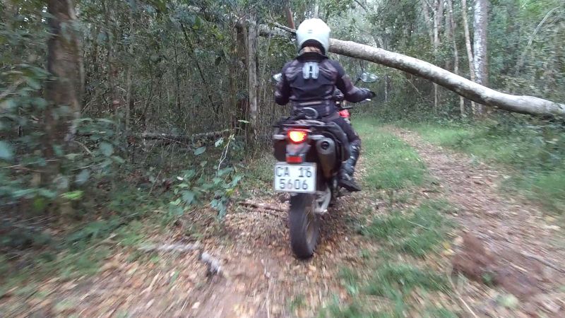
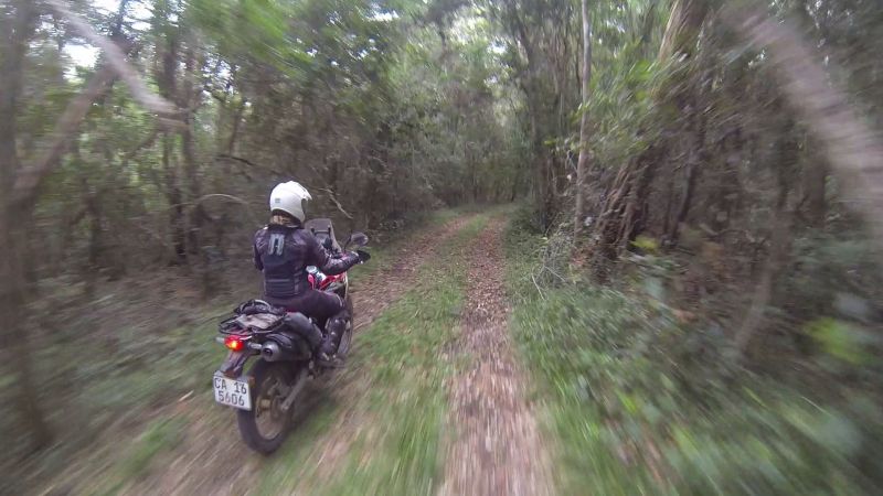
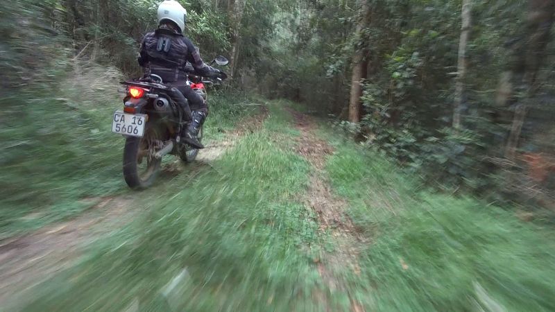
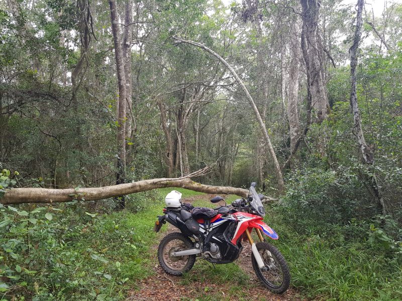
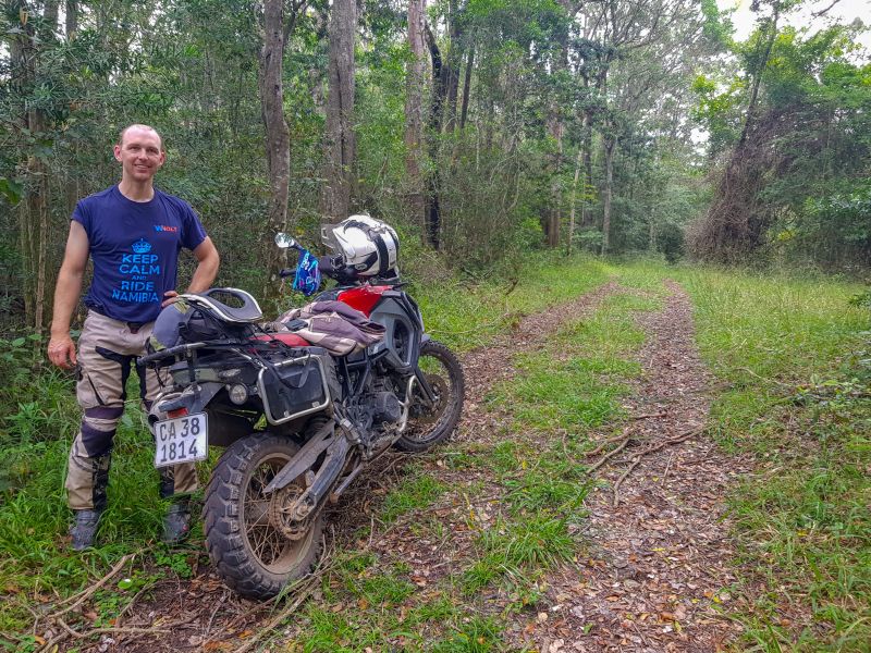
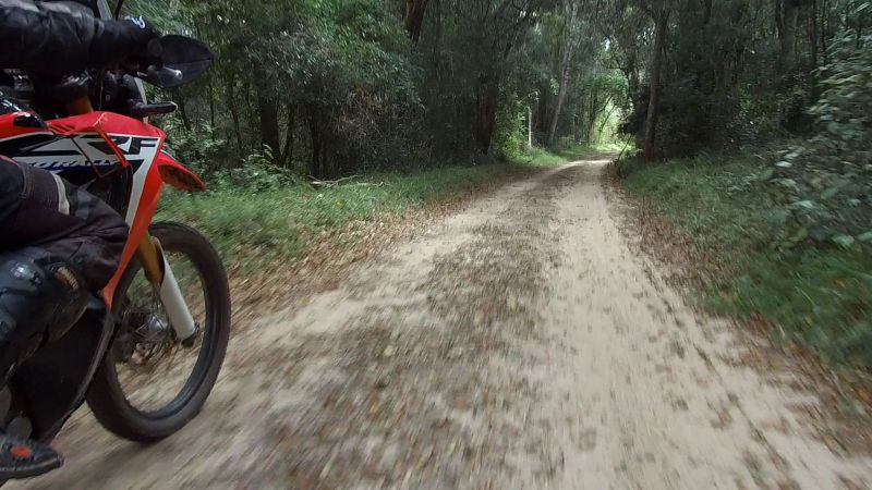
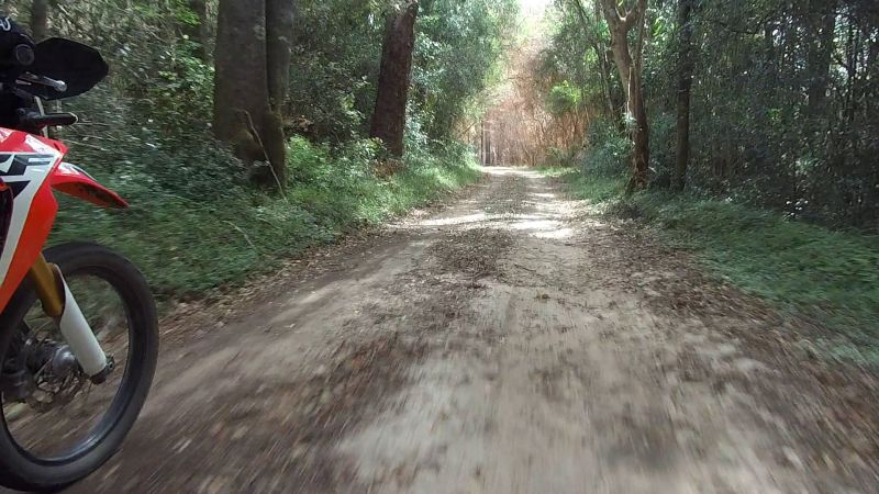
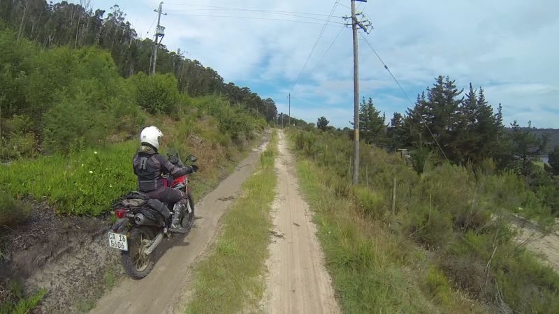
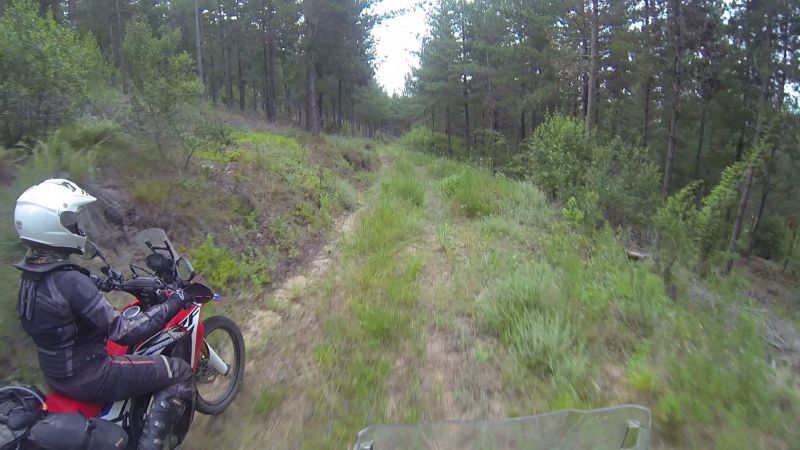
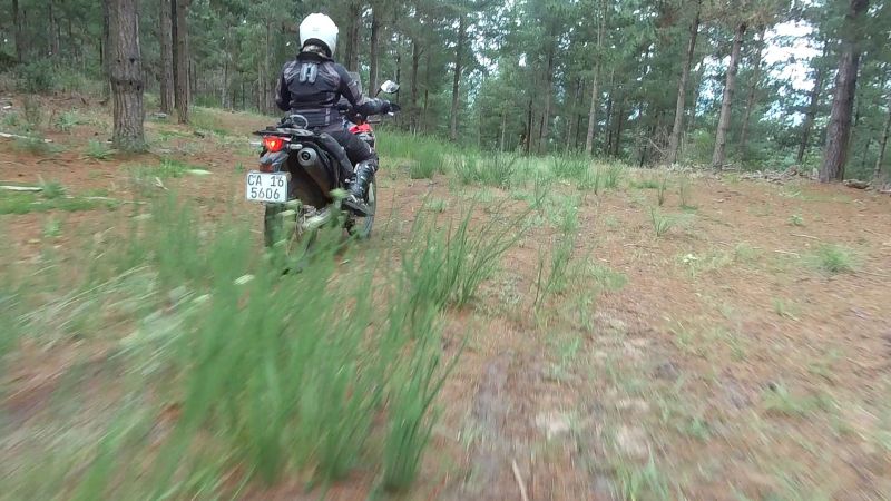
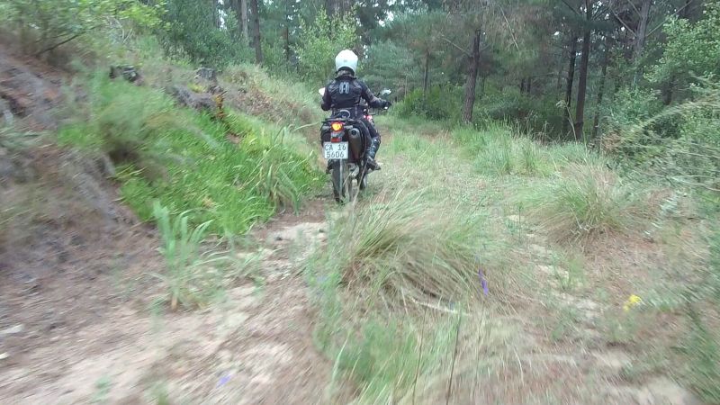
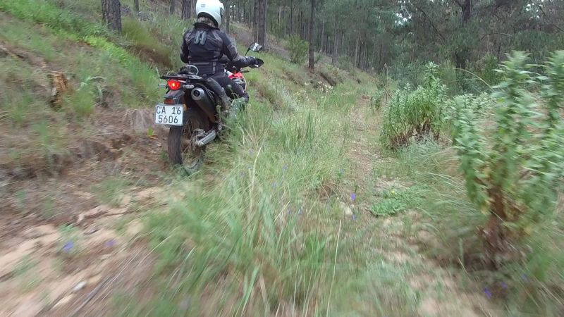
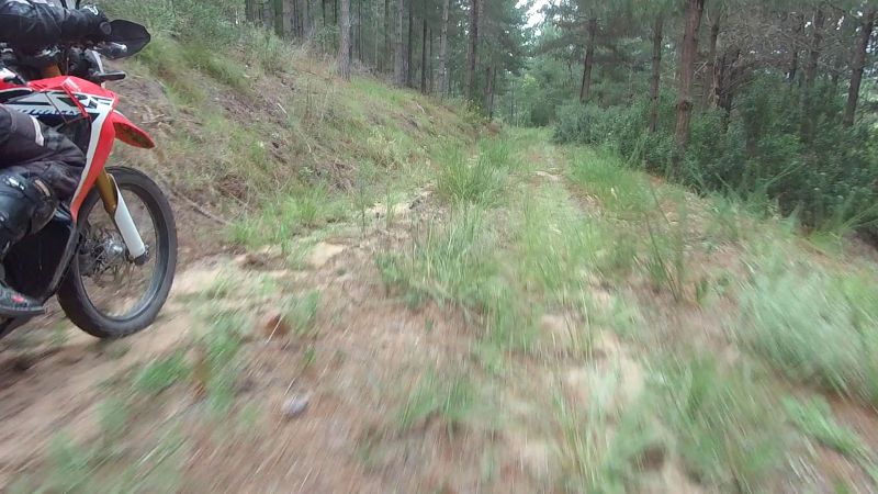
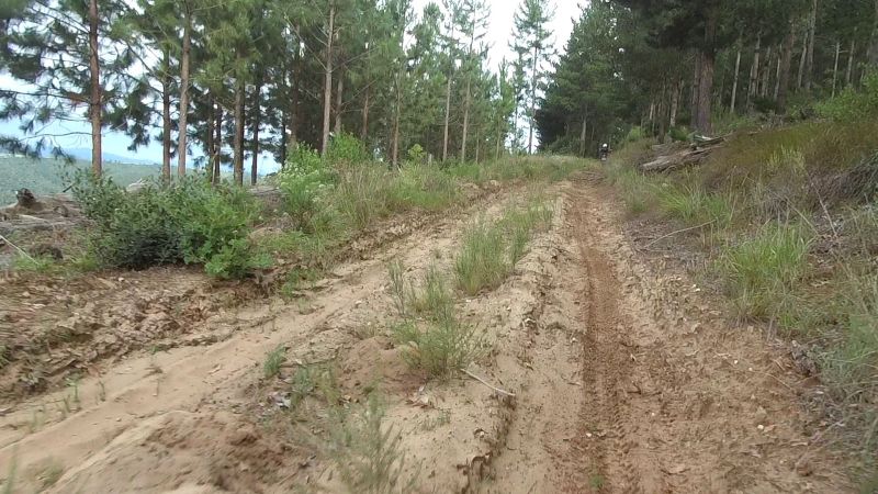
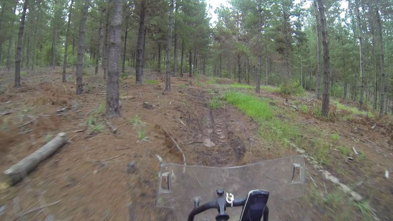
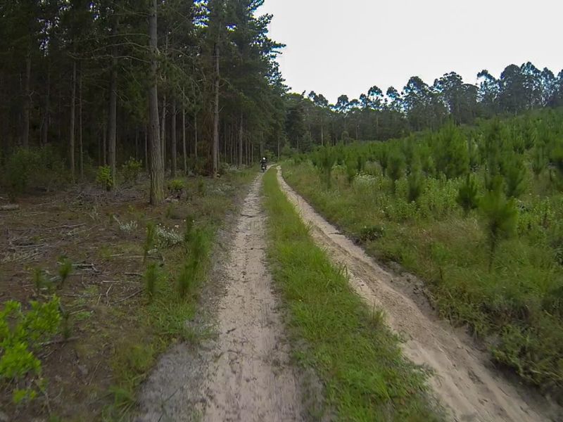
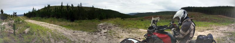
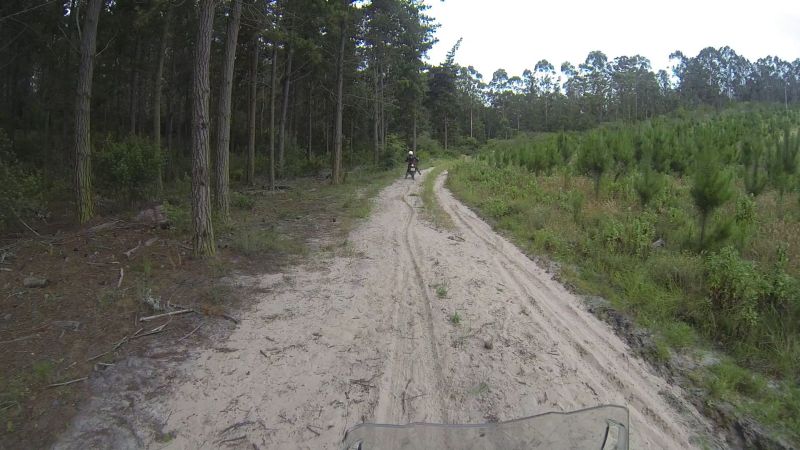
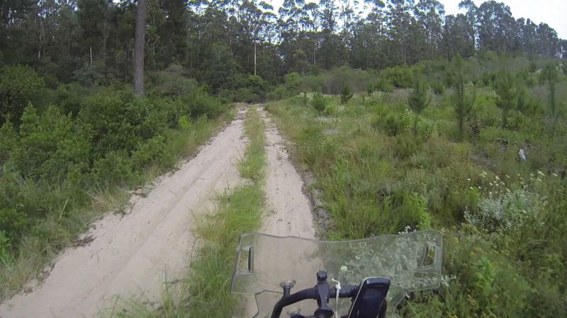
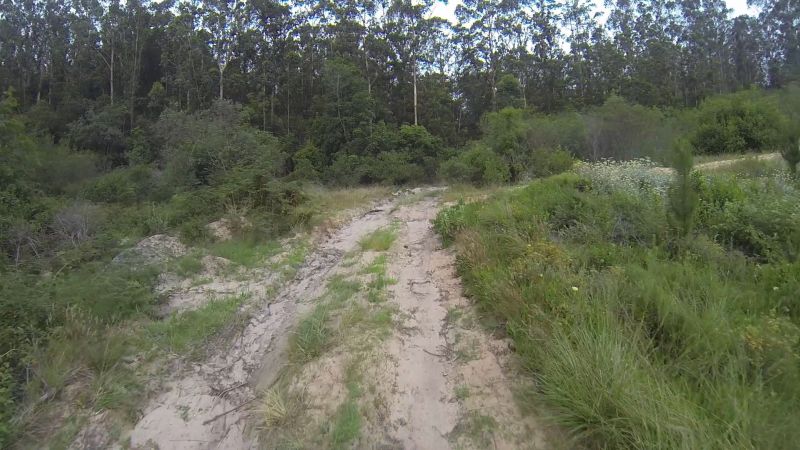
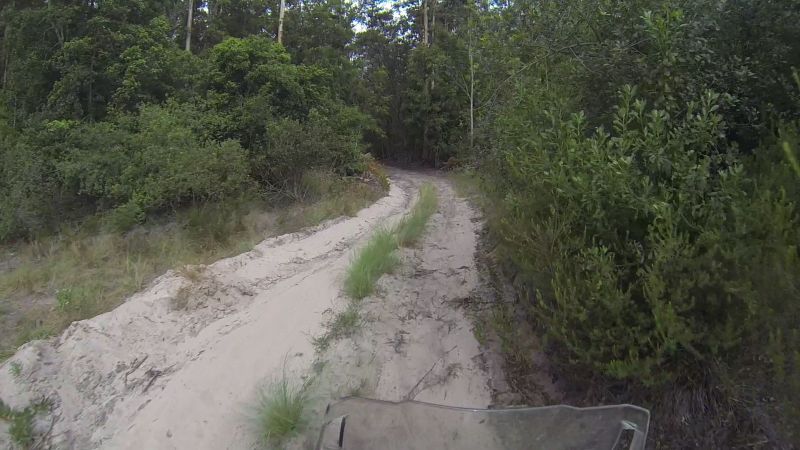
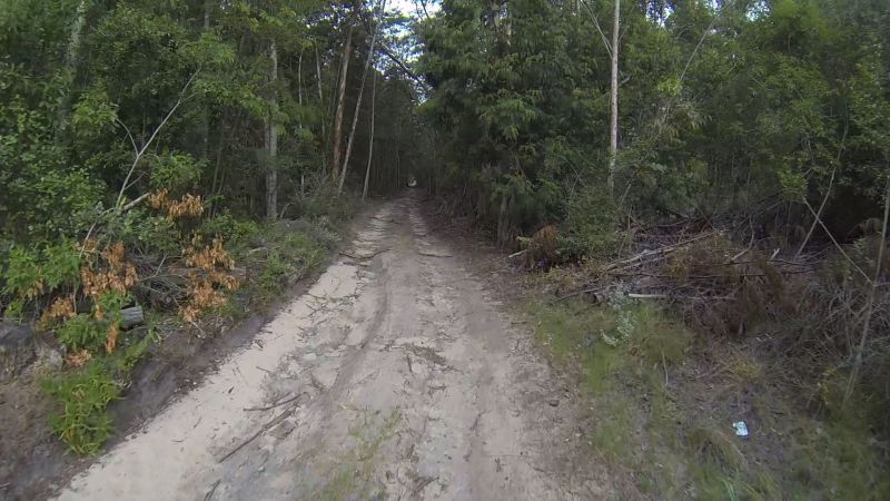
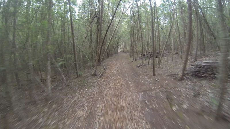
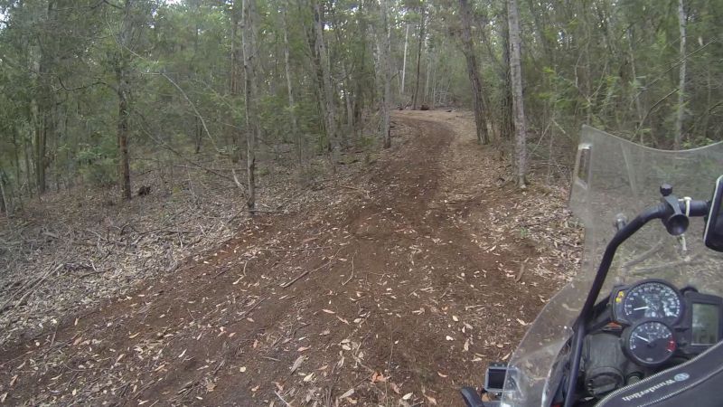
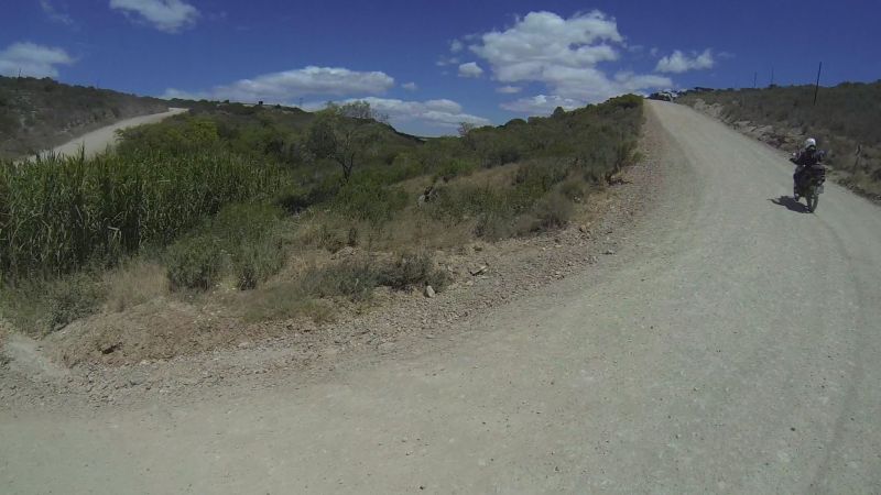
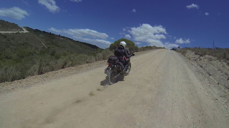
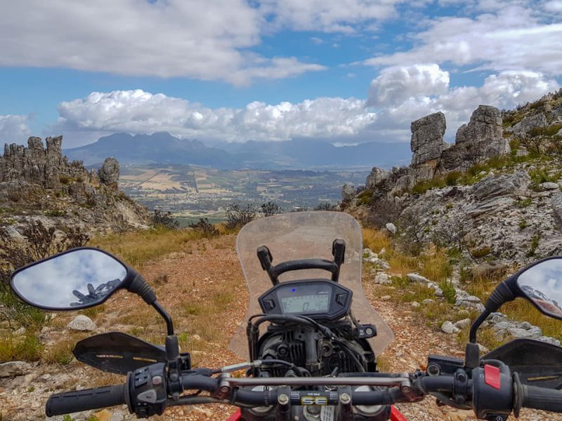
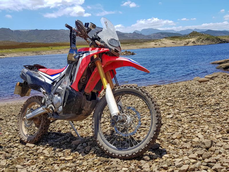
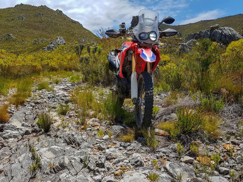
DAY 4 (24 Dec): Explore! (141 km)
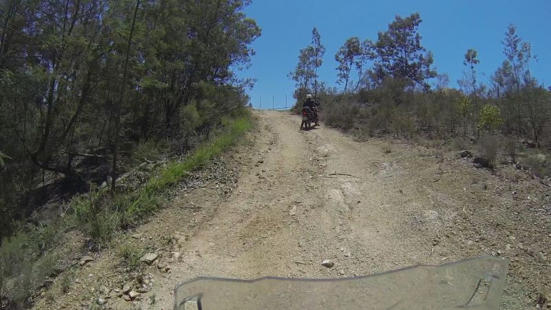
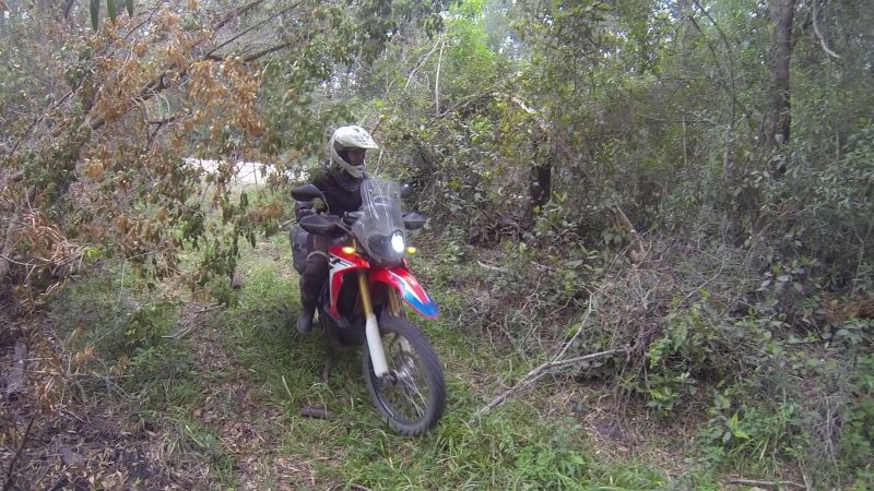
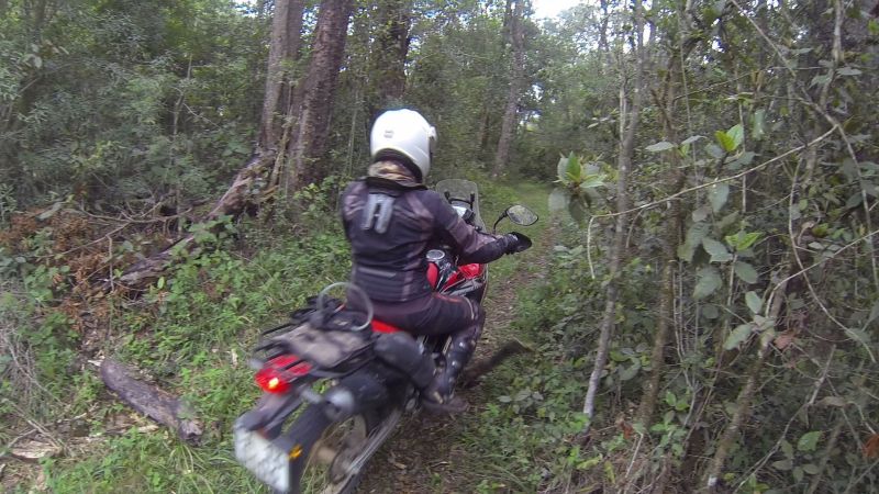
Lance was “off the lead” today. It wasn’t long before he spotted the first track he wanted to explore.
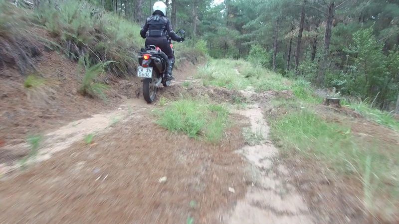
The 800GSA is a heavy bike to turn around, which is why our modus operandi for this small track and all subsequent others was to send me in first.
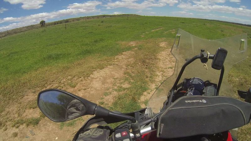
Go mini-bike!
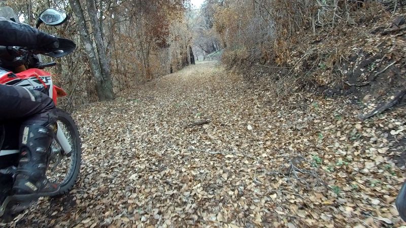
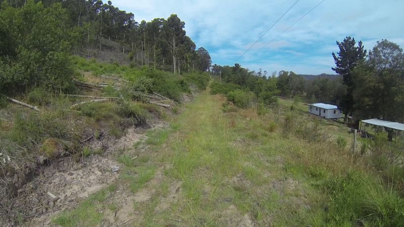
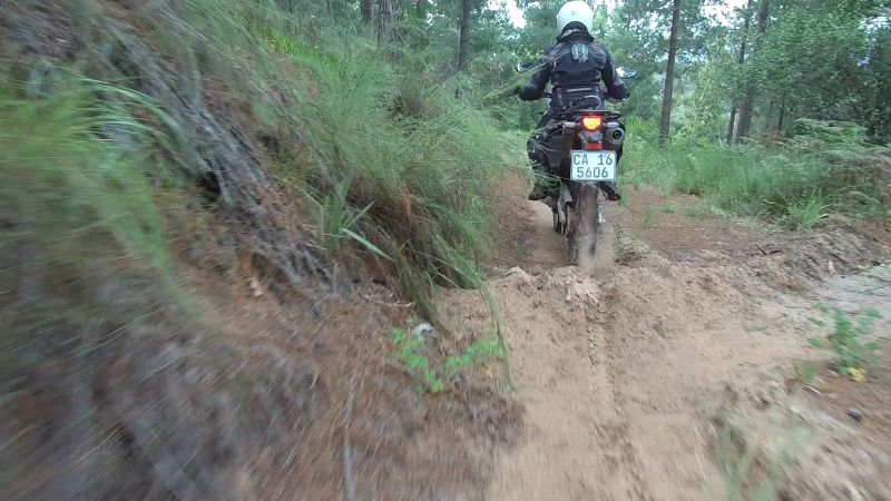
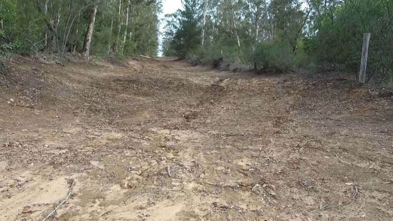
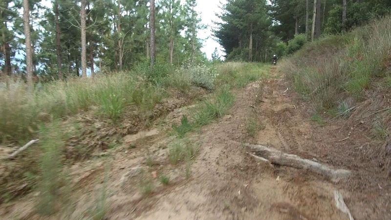
The remnant of a tweespoor:
The remnant of a remnant of a tweespoor:
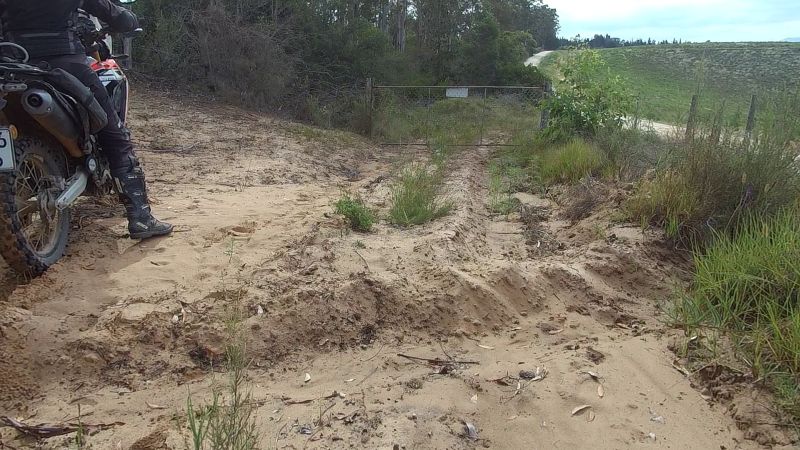
Our first dead-end of the day (there will be many):
A short Rondevlei recce followed. The park wasn’t manned, perhaps because it was the day before Christmas, but the signage was clear: no bikes! We decided to be good citizens and explore elsewhere.
The next two excursions were dead-end driveways…
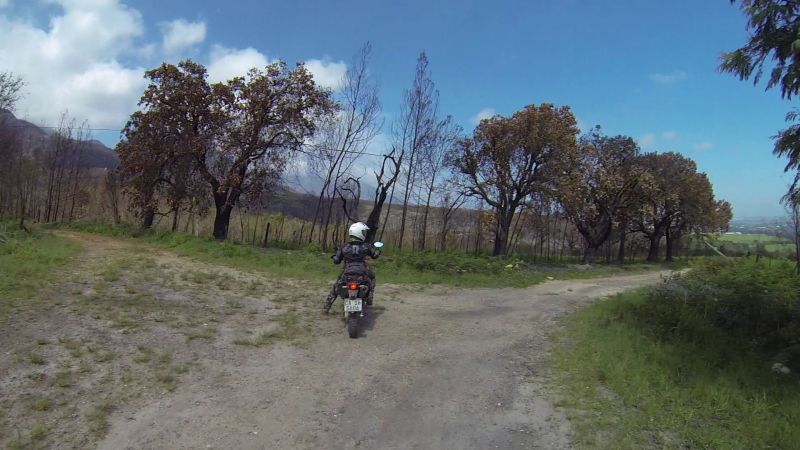
…so we headed in the direction of the Seven Passes Road and the mountains.
A little scooter that has seen better days:
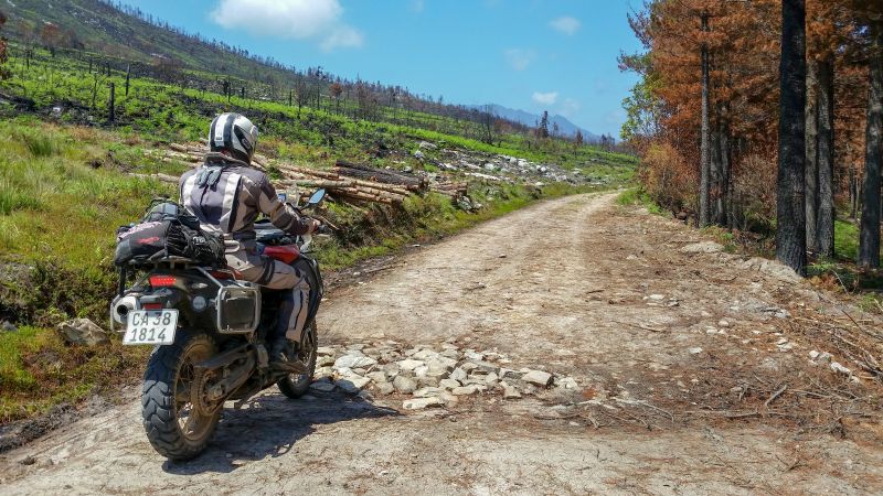
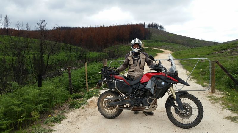
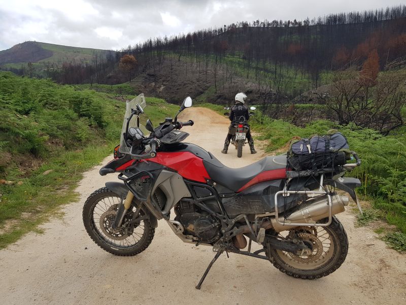
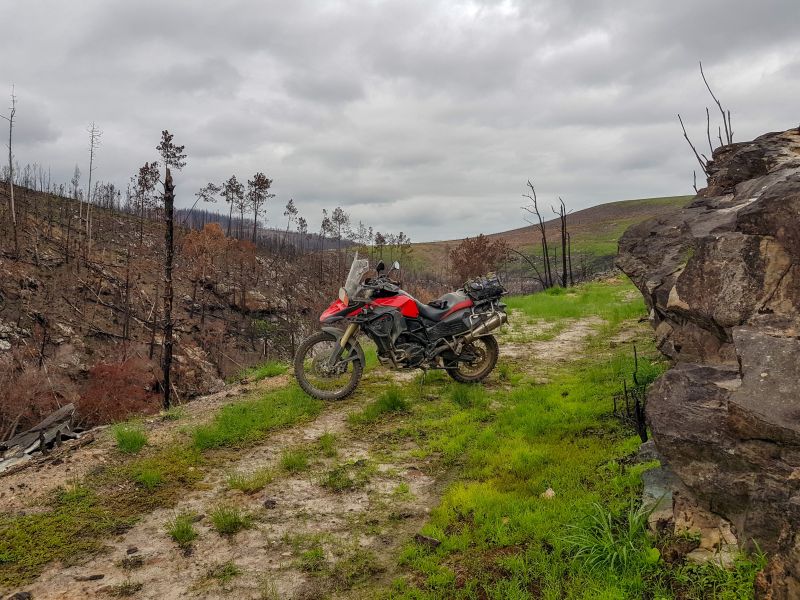
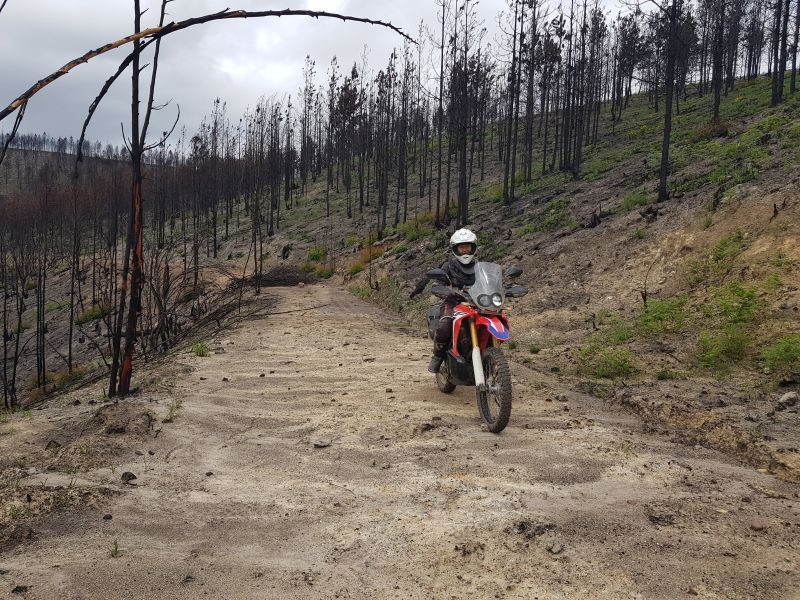
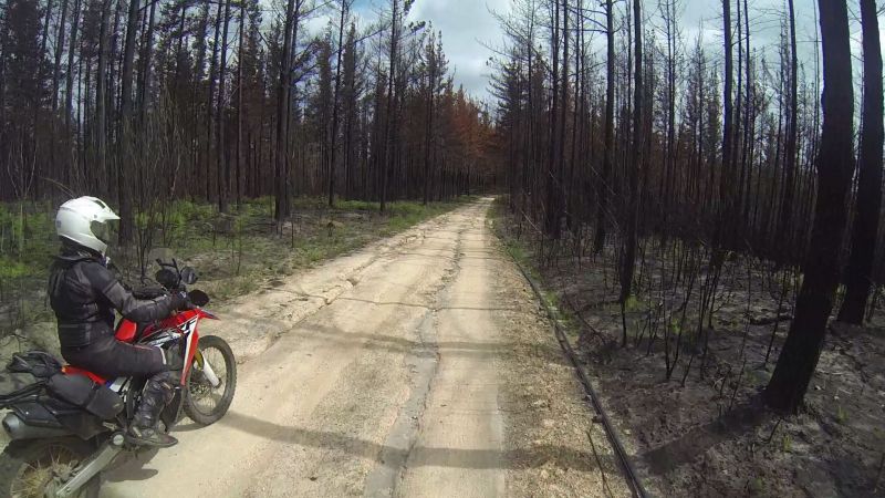
We finally reached the mountains, which – same as most in the area – were recovering from a state of toast, thanks to devastating large-spread fires a couple of months earlier.
A double lane of crispy trees stood right next to an untouched house. The owner(s) probably sweated bullets during the blaze.
The main house is to the right, outside the picture frame:
In the distance, we could see a bakkie turn around. I guess that means a locked gate.
It does.
We head back.
We spot a faint tweespoor with a sign indicating that this was a dead-end. This does not detract from the will to explore. So what if we have to turn around? “Life is a journey” and all that jazz.
We didn’t want to risk a bogged-down 800, so we turned around here:
Lance might have gone further if he knew he had some male strength back-up and not spaghetti-arm me.
I fear the day if/when (probably only a matter of time) he gets a smaller bike. At the moment we are equals: Lance handicapped by his bike, me by my skills. I hear an ominous refrain throughout this day: “If I were on a Rally…”
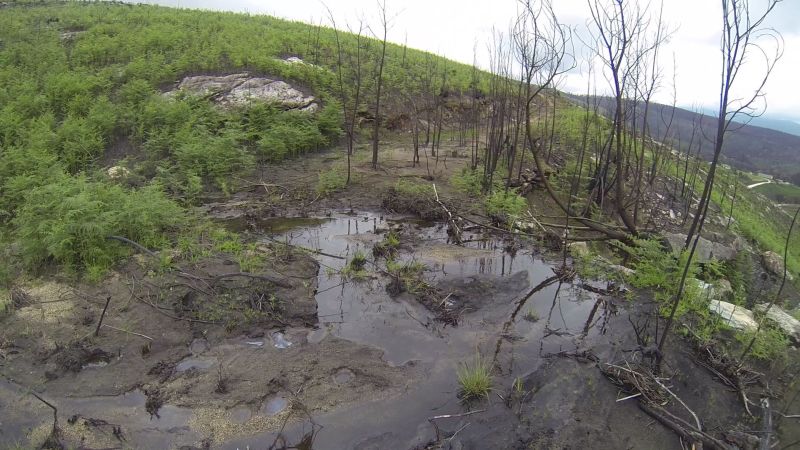
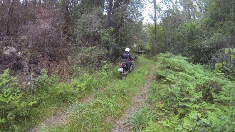
The top of the mountains/hills were not working out for us. There were locked gates galore. We decided to try the lower reaches and found some non-crispy forest.
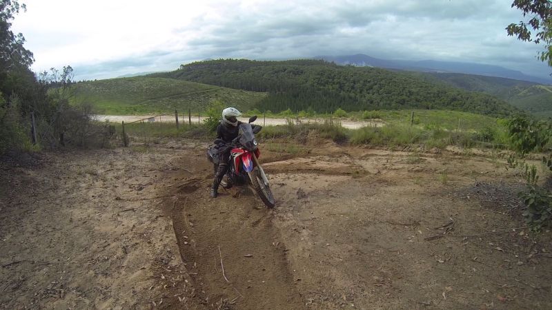
The Rally recce:
I love this little light bike!
The path appeared to be blocked by a wall:
It was a small dam:
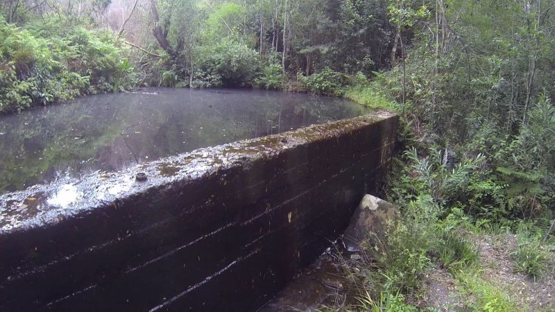
There was a small, steep trail running to the left of the dam.
It looked like it dead-ended, but careful observation showed tyre-marks!
The trail headed up into the forest on an impossibly steep mission. This was no dual-sport bike’s tracks. It was a dirt bike! This person has skills. A mistake here will end up with bike and person in the greasy-looking black waters of the dam.
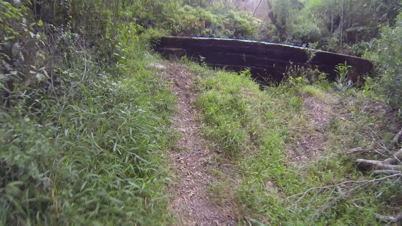
We back-tracked and soon found another small off-shoot track.
Send in the Rally!
Kicking up logs:
I came to a dead-end pretty quickly, i.e. I could still relay to Lance on the comms that he shouldn’t bother bringing the 800. He did walk the path though, to check what I had found: a big tree across the way.
Again, there were tell-tale signs that this was dirt bike territory.
Lance turned my bike around and, keen for a spin, took it back to the road. It was my turn to trundle by foot.
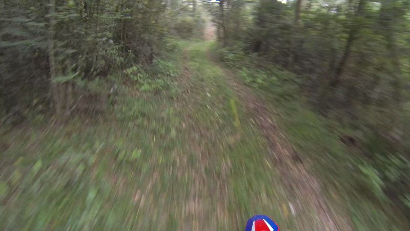
Lance turned the forest into a green blur on my bike:
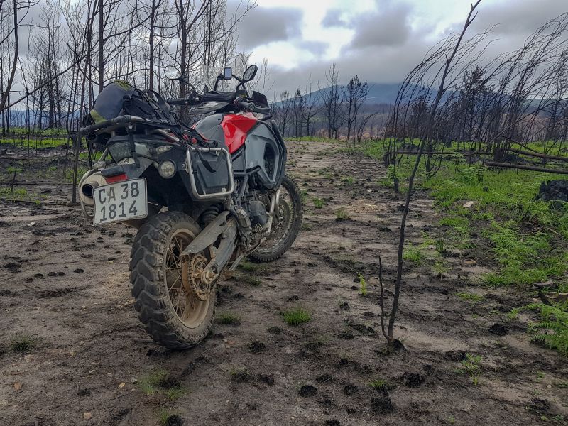
His jilted 800 looking on balefully:
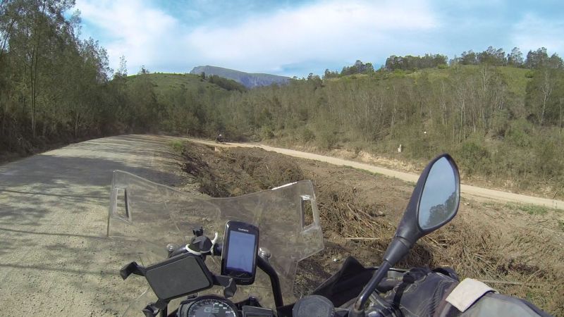
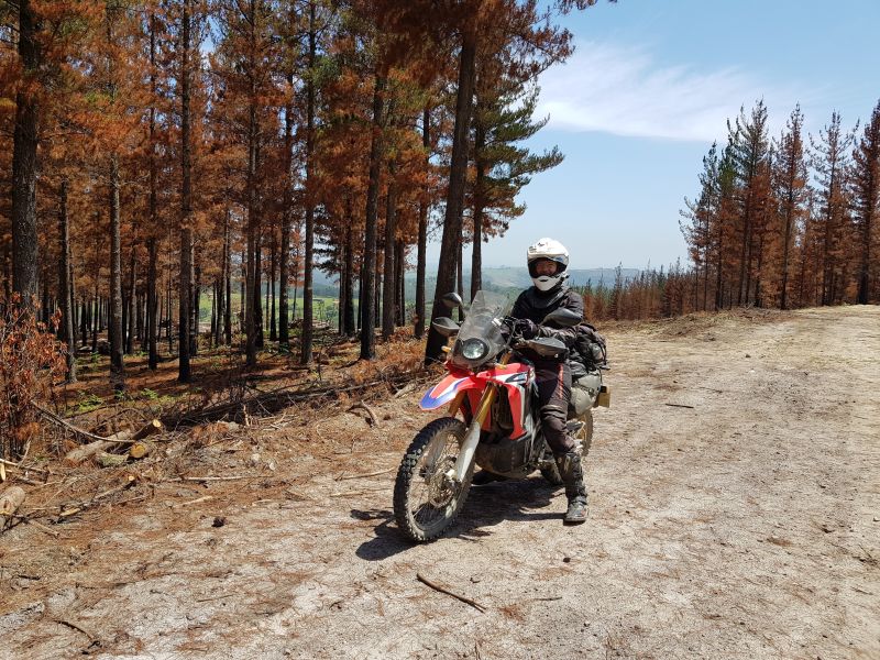
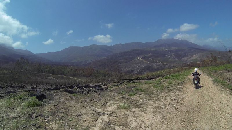
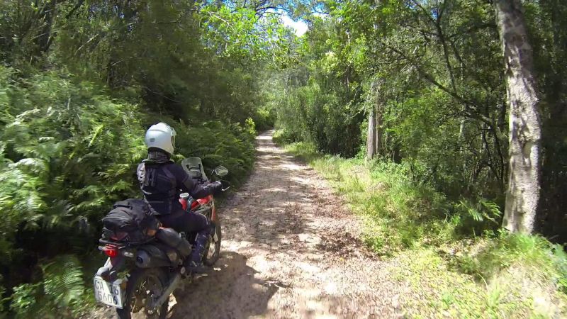
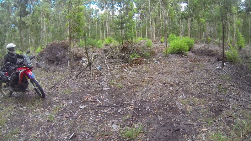
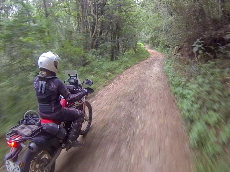
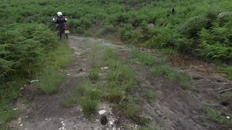
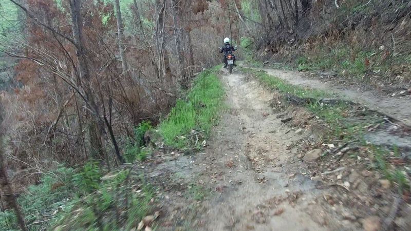
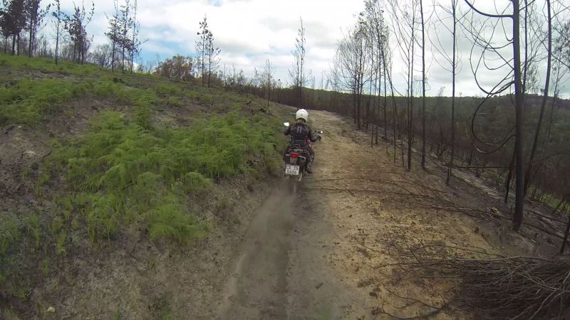
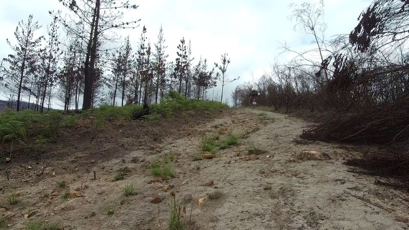
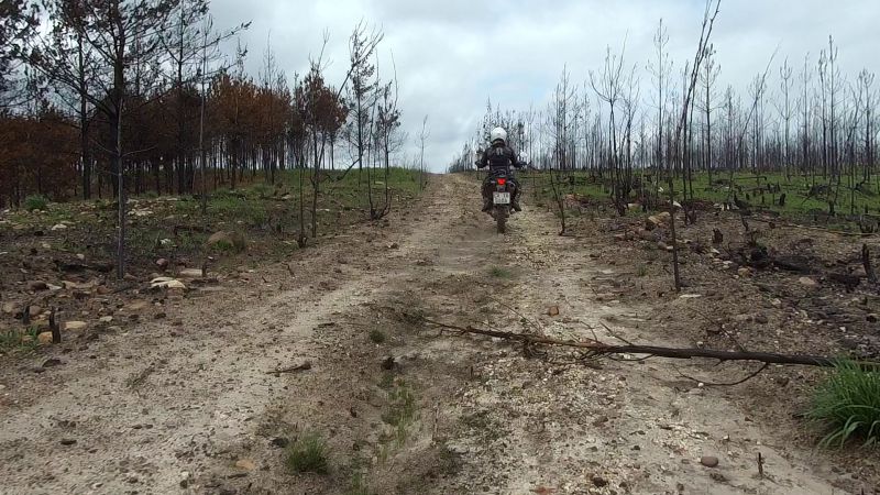
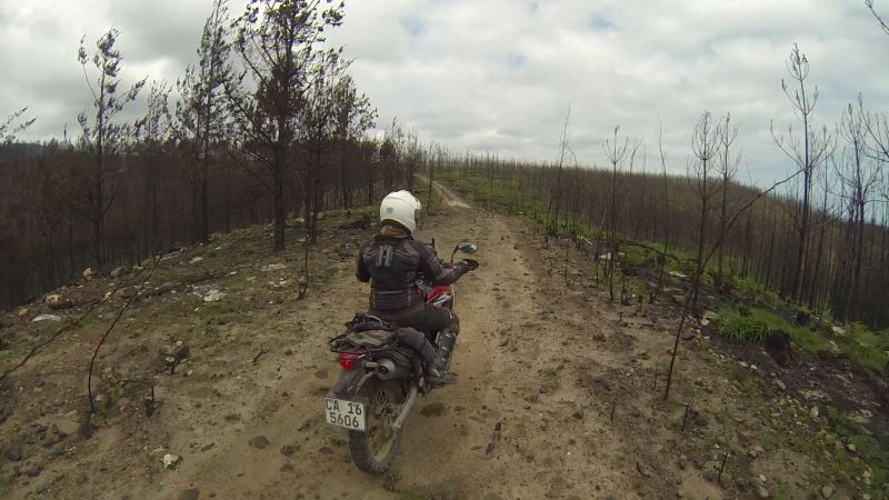
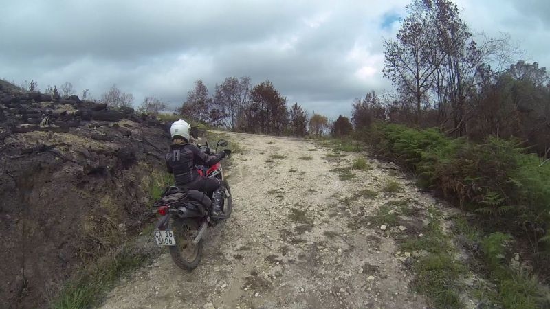
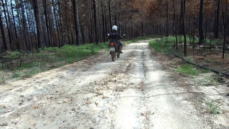
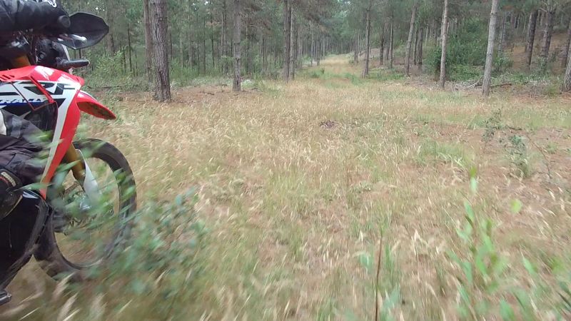
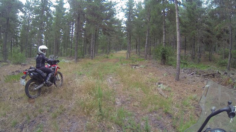
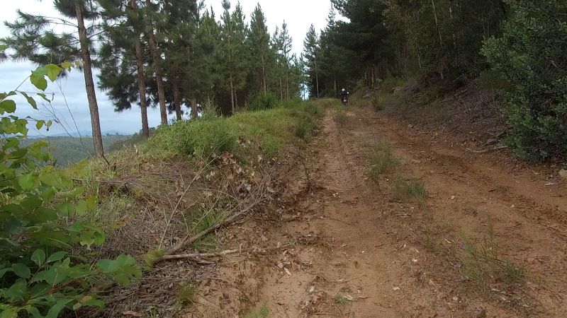
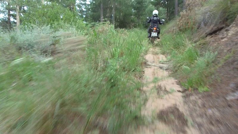
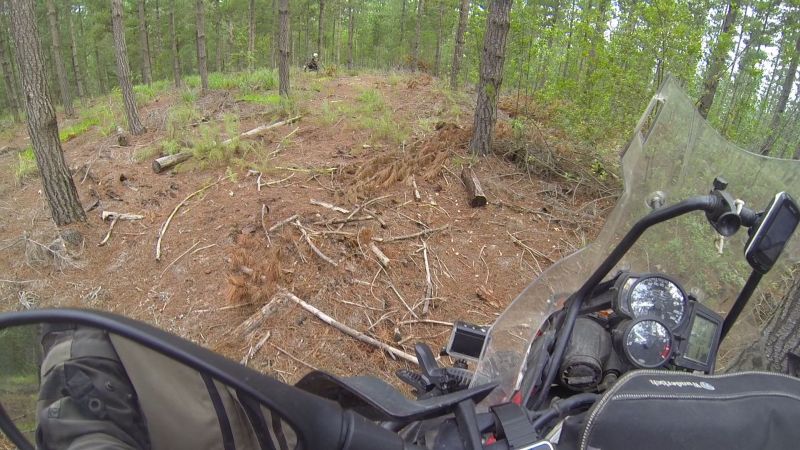
As we gained altitude, we entered what had been a pine forest. There were many forestry roads to explore here.
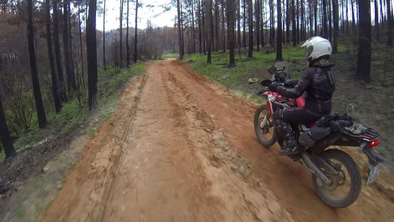
The dead trees are in the process of being removed.
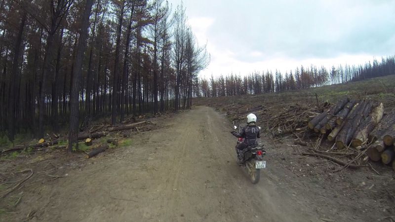
The landscape was beautiful, but sad, so we tried to aim for the remnant green patches.
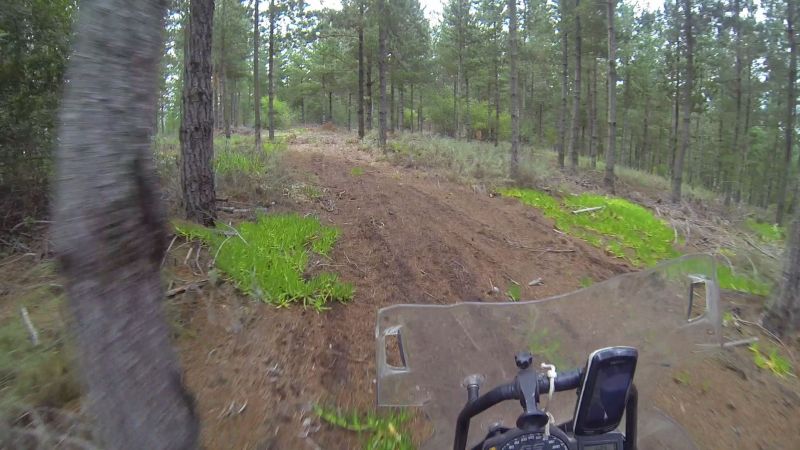
This was a very pleasant surprise:
Bikes resting in paradise (or, at least, it would have been if the trees were still alive):
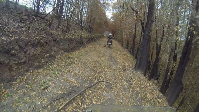
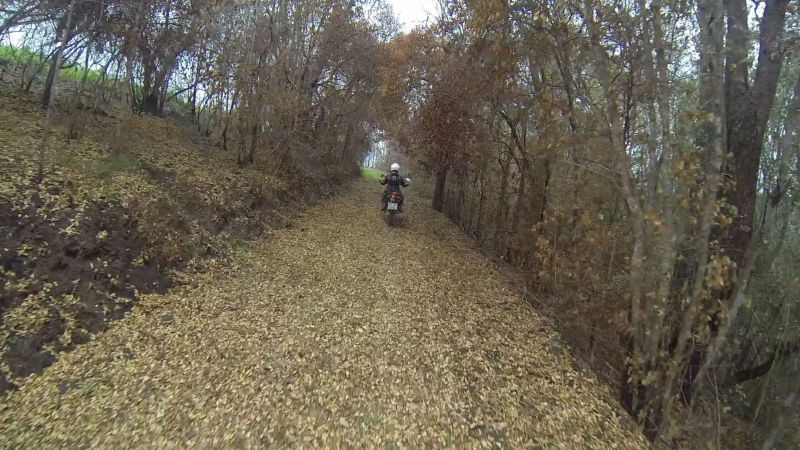
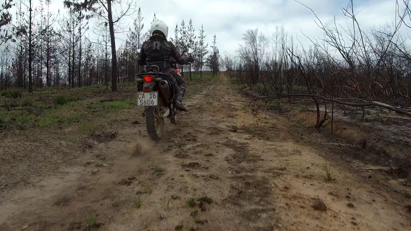
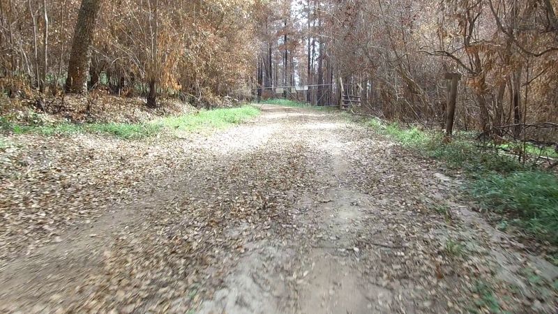
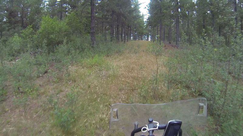
The burnt indigenous forest gave the impression of autumn, with orange, crispy leaves strewn over the path.
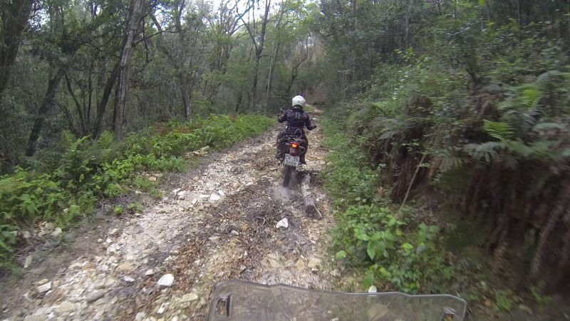
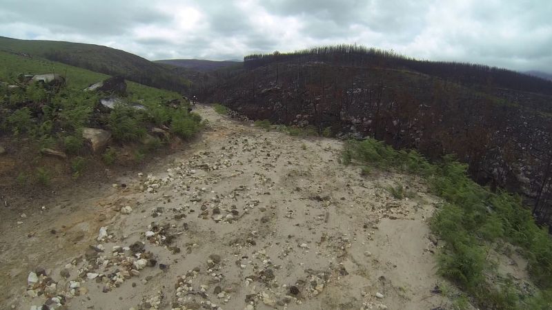
As we headed up, the road got more “interesting”, a.k.a. rougher.
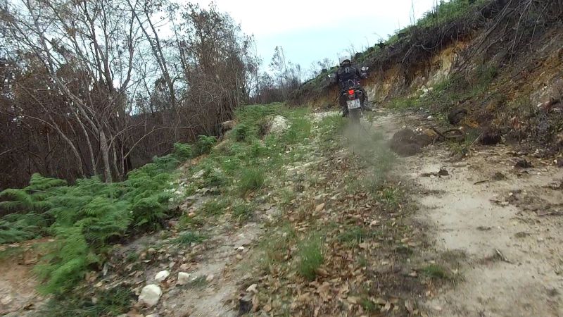
And then it became very interesting!
Lance keeping a healthy distance, while I try to throw rocks at him:
Lance got stuck behind this branch for a while after trying to avoid my rock-throwing:
The lower-mounted camera struggled a bit with the jiggling, hence the blurry snaps, but I think it captures the road conditions better.
We were quite high up when we hit a locked gate. There was nothing for it, but to head back down and tackle the rough piece of road again.
I kept telling Lance I’m glad I’m on a little bike. It would have been quite taxing on my nerves if I still had the 650GS. The Rally handled the bumps with aplomb. I was having fun! Lance has the skills to ride his 800 here. I don't.
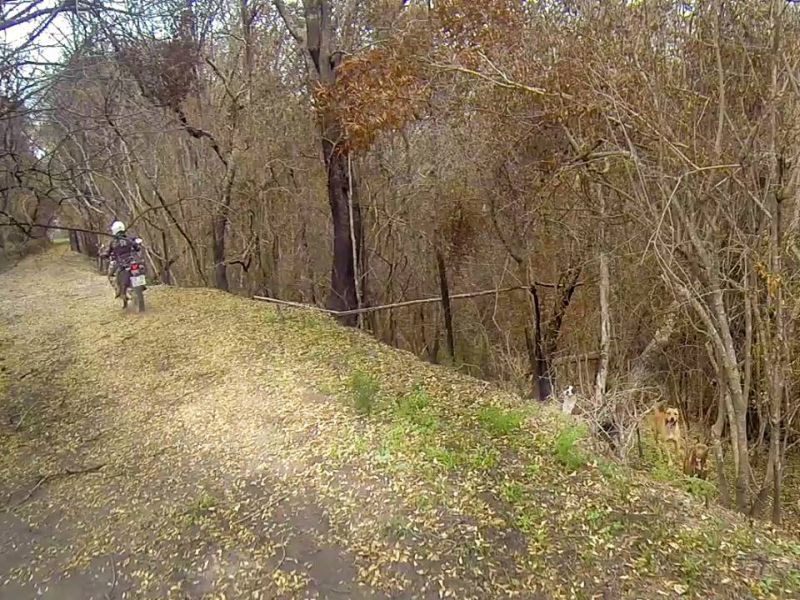
We came across the strangest “wildlife” sighting of the day: three pit bulls on a self-guided tour. We saw no people. The dogs looked friendly enough, but we didn’t stick around to find out.
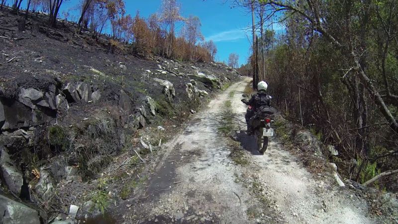
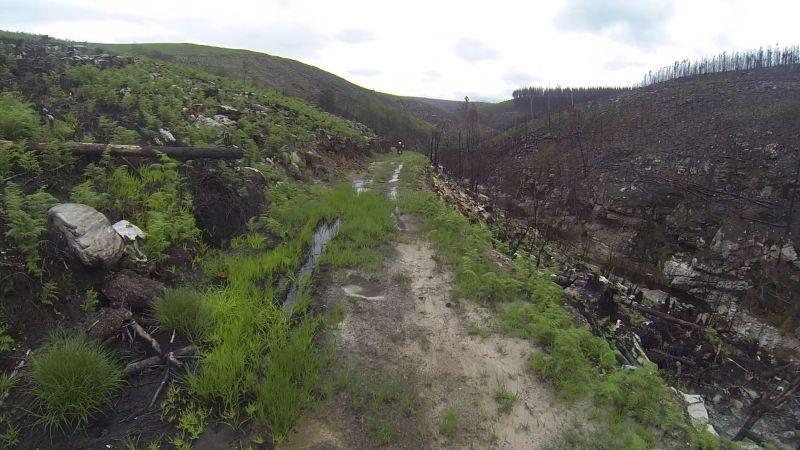
Some more burnt-orange forest:
Eerie landscape:
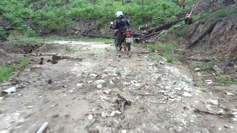
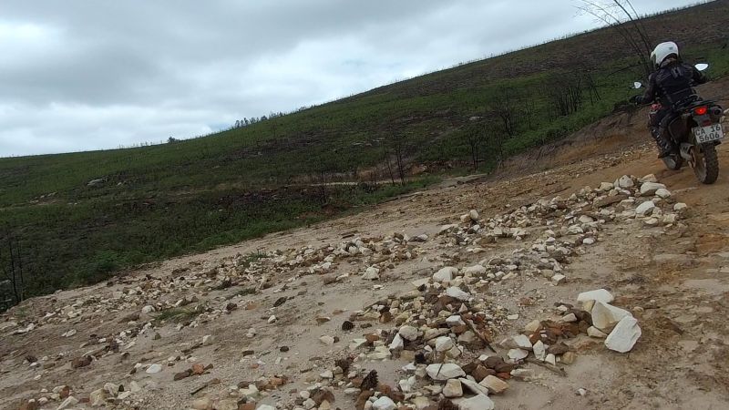
This spot was rocky thanks to a mini-landslide:
We didn’t get too far with this road:
Blocked by a tree:
I stopped before it got too marshy, which would have made turning around messier.
Lance tried to turn around on his own, but there was not much space between the mountainside and…space.
The two of us turned around my bike, then the 800, and headed back.
The rocky entrance/exit:
More eerie landscape:
Zig-zagging road:
The next piece of road had some mini dead saplings strewn across it.
You could ride around some of them.
If I was on my CRF230 I would have tried going straight over this…
…but I decided to err on the side of caution.
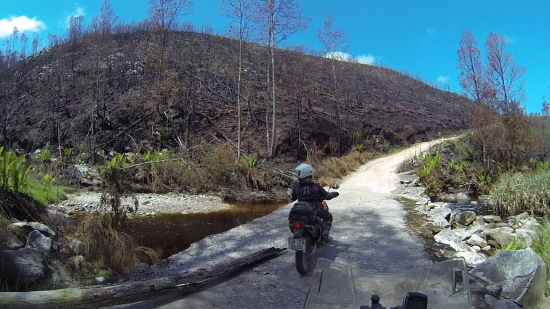
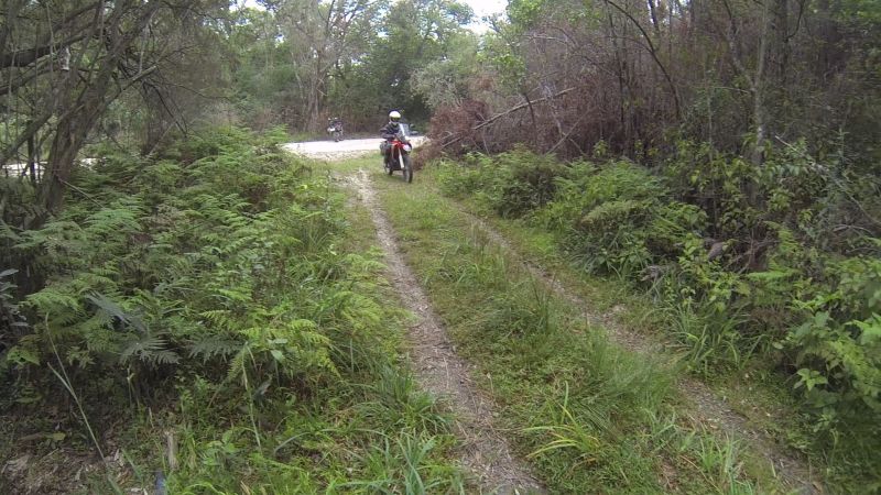
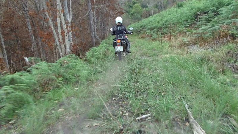
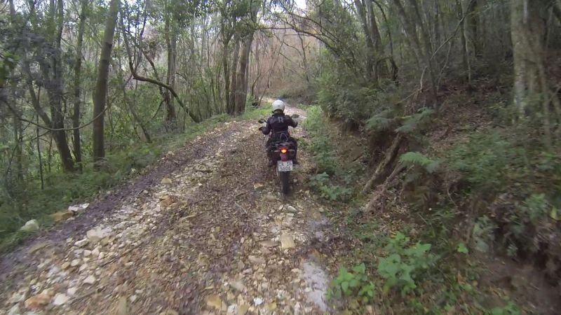
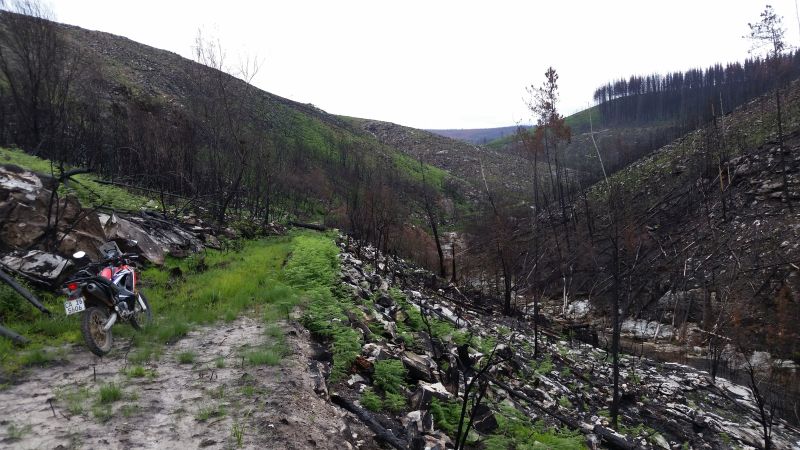
Back in a forested valley:

Followed by some more fire-blasted landscape:
Lance had a plan. “Let’s go up this hill.”
“This one? You’re nuts!”
“Ok, fine.”
It gets even steeper further on.
My rear wheel kicked up puffs of dust as I kept momentum up. If you stopped here, it will be difficult to get going again.
Puffs of stones:
The top!
This was probably a road at some point. Now the best definition is “track cleared of trees”.

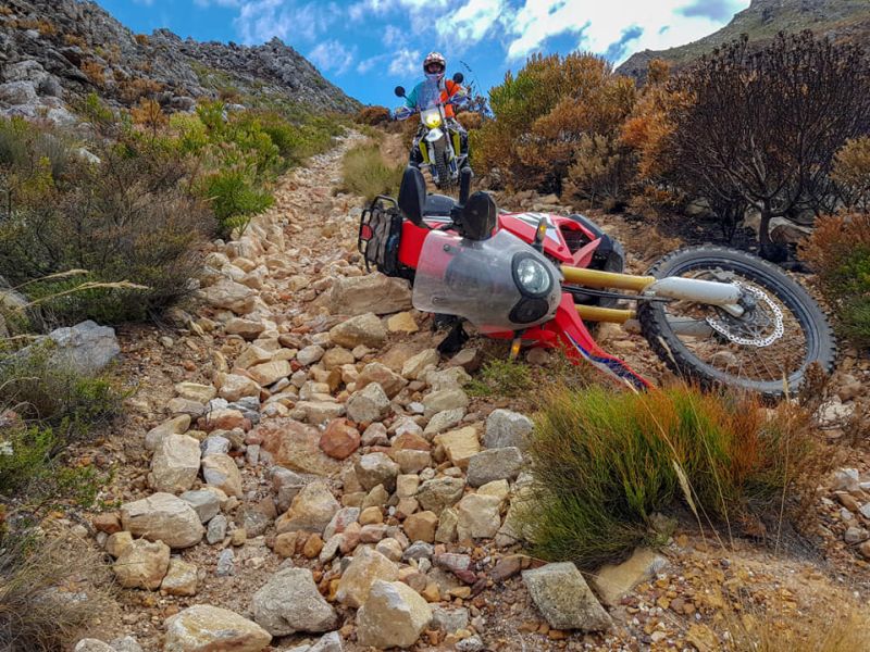
When it dead-ended, I executed the classic side-stand incident: topple over while trying to do a slow, sharp turn.
Oh well, the bike and I needed a break anyway.
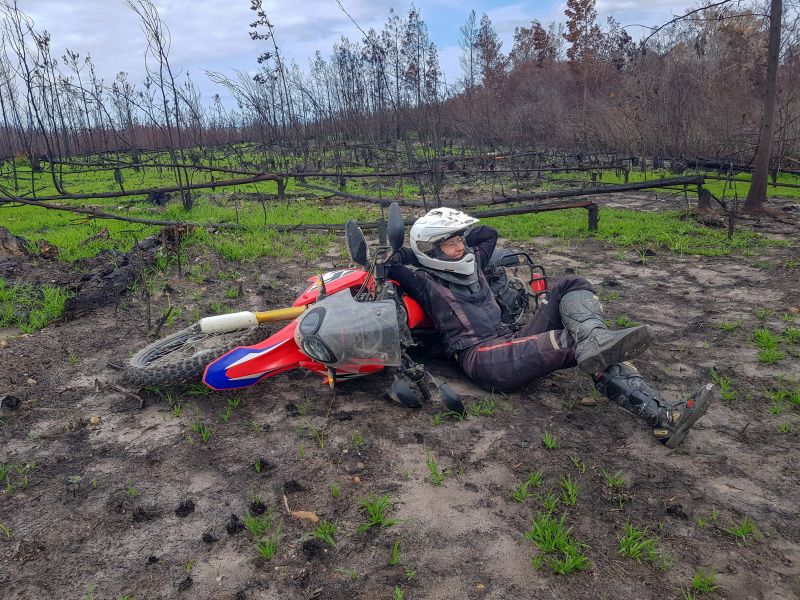
The 800: “Falling is for noobs.”
Some last burnt forest exploration:
Interesting angles:
Dust puff:
Semi-burnt forest:
Green forest!
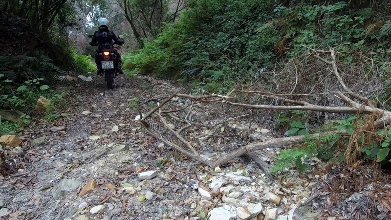
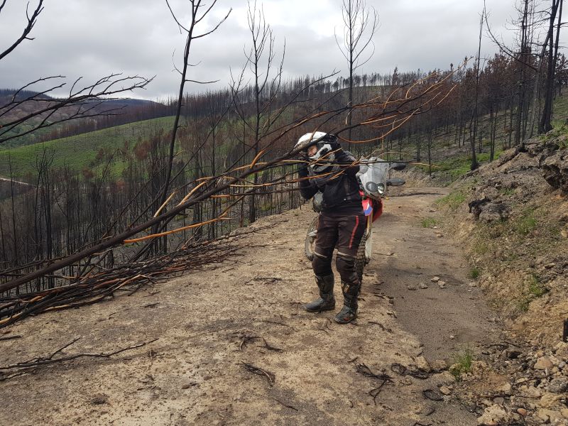
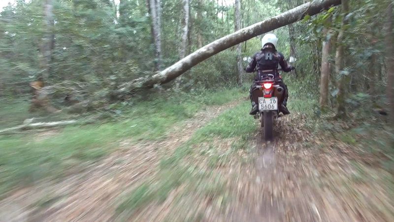
We landed on a lesser-used path and soon came upon our usual barrier alternative to a locked gate: diagonal branch.
Despite what the picture would have you believe, this one was low enough to ride under.
We were able to go a bit further…
…before finding a branch that was more obstinate.
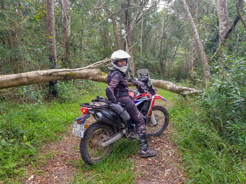
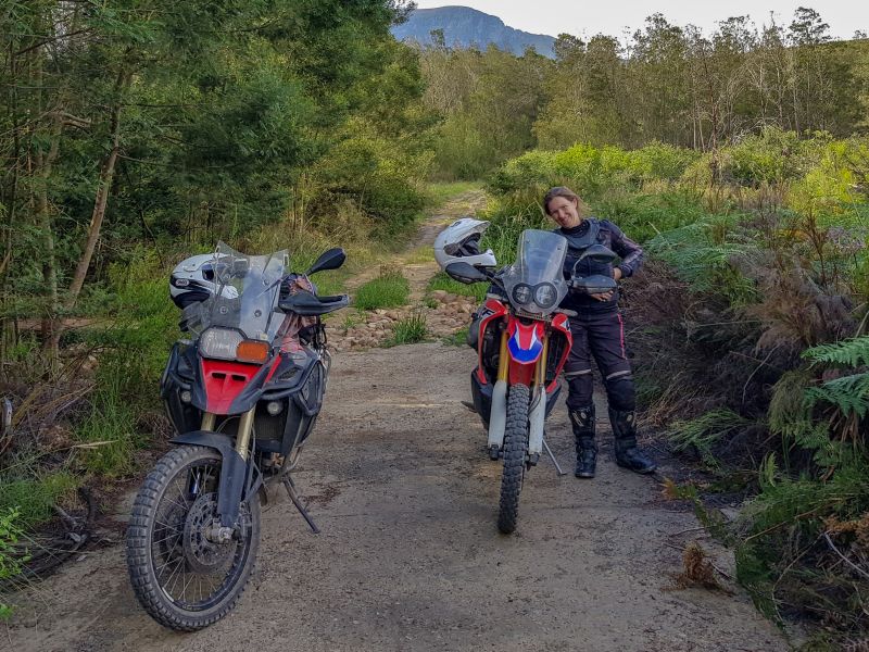
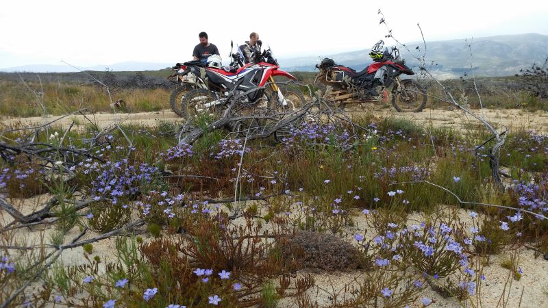
It was a stunning resting spot, so we took the opportunity of a helmet break.
This forest was alive! You could hear all manner of bugs; the cicadas were probably the loud ones. In our trip video we included a bit of the forest’s soundtrack that we recorded with the cell phone.
Heading back and ducking beneath the low branch:
As I mentioned previously: this forest was alive. Spot the butterfly to my right:
The camera struggled in the low-light conditions. The path forward is clear though:
There is light at the end of the tunnel:
The light signalled some more burnt forest…
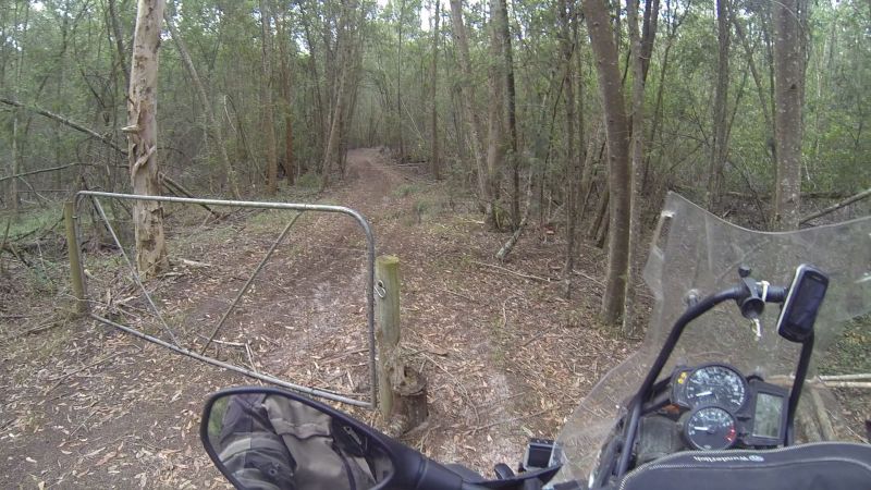
…and a gate.
Based on earlier experience, I did not even check the gate, but started looking for a good turn-around spot. Lance, being of sounder mind, walked to the gate and found…it was not locked!
Gender equality has been achieved: gate duty is shared equally…
We could get out! Because “out” was where we should have been in the first place. We had, unwittingly, ended up in a nature reserve. The gate had a plethora of those signs with red diagonal stripes through activities.
We nervously rode ahead, waiting for the wrathful gate guard, but apparently no-one was working the day before Christmas.
A lonely building with no-one home:

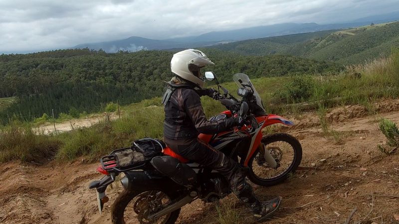
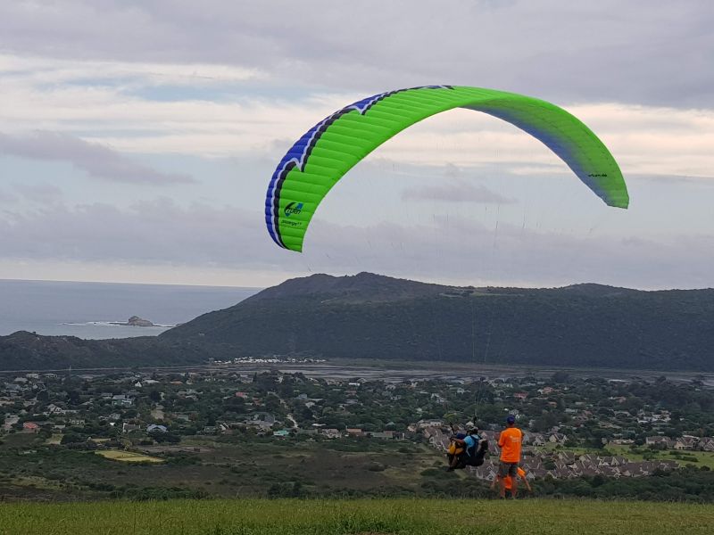
It was now 4pm, so it was probably time to start heading back in the direction of Sedgefield. Lance decided that we should find the hill where all the paragliders launch. We’ve been watching these colourful specks in the sky every afternoon since reaching Sedgefield.
We didn’t quite know where we were going. Ok, ok. We hadn’t the foggiest. Or, at least, I didn’t have a clue. Lance apparently had half-a-clue, but he obviously misplaced it, as we were to find out later.
Seems legit?
I’m sure hordes of paragliding fanatics drive here…
…every day…
…or maybe once a week?
Once a month?
Once a century…
…by horse.
Or maybe by goat.
We found one of those signboards with angry red letters. We paid our respects and turned tail, after I gave some pointers to Lance on how to turn his behemoth around on a sandy slope.
He didn’t listen at first. By now he should know that the woman is always right. Well, at least, I was right this time! When he swung his big backside as directed, he finally managed to make headway.
Heading back on the goat track:
We continued our search for the elusive paragliders. Obviously they had to be up a hill somewhere. Problem is, we chose the wrong hill…
“Where to now, oh wise one?”
Downhill! Makes perfect sense. Only, we didn’t go back on the route we came.
Magic forest…
…with speed bumps!
We had the road in our sight, but the last dregs of our track came fully-furnished with a locked gate.
So near and yet so far.
To the left of me, in the photo above, was a hill of awesome proportions – the main proportion of note being gradient.
My response: “Hell no!”
Despite my protestations, Lance still gave it a bash. But I had noticed another of the hill’s properties: sand. The 800’s rear wheel spun a groove in the soft surface. I watched, content with the knowledge that this gambit was going no further.
This time Lance directed the backside-swing manoeuvres from his position 10cm further up the hill.
“I’m outta here!”
We went back up the hill, the easy way.
The surface was also soft, but the easier gradient made this trek possible.
Speed bump:
For those who haven’t noticed, Lance was having fun with two action cameras today: a helmet-mounted GoPro and a bike-mounted SJ camera, hence the high and low angle snaps.
We explored the top of the hill, following tracks…
…until they became non-tracks.

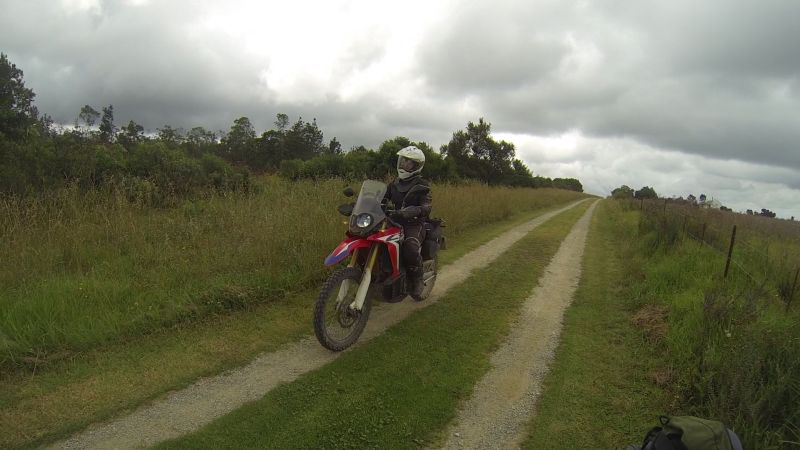
Back on the grassy “highway”:
Somewhere during our hill explorations, Lance admitted that we were definitely on the wrong hill. We decided on one last foray into the unknown before heading to the correct hill.
It’s amazing how many roads there are that turn from this…
…to this.
So many options…
…but we decided to turn back, because (1) it was getting late, (2) my backside had reached its Honda plank-seat limit, and (3) I didn’t feel like an extended sand work-out.
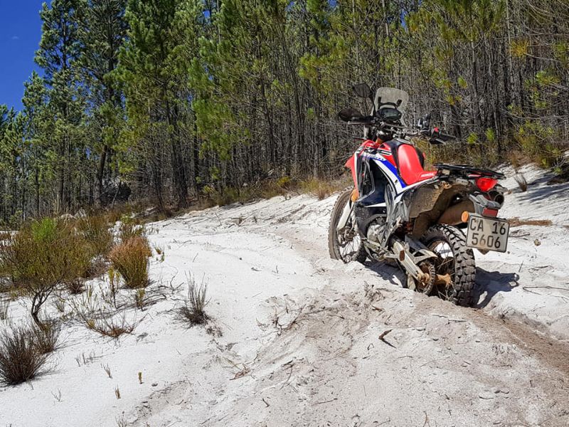
My nerves are a bit shot after a bad crash in sand during a funduro on my 230 Honda. That was my first crash that had resulted in an operation (reattaching wrist ligaments). Yet the 230 eats sand for breakfast. Therefore I have decided that I will take my 230 on an up-coming trip to northern Namibia (lots of sand). Lance will take my Honda Rally on condition that he replace any big bits that get dinged / broken (scratches don’t count).
Meanwhile, my reaction to sand has regressed on a bigger bike. Paddle!
Heading back on the sandy track:
Lance was still up for further explorations.
I waited while he quickly checked out this road.
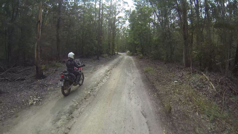
And then we were on gravel highway:
We finally found the correct hill, where the paragliders launch. Mission complete!
DAY 5 (25 Dec): Christmas (0 km)
There’s not much to write about today, other than to say that it probably matched the experience of many: spend time with family / friends and eat too much!
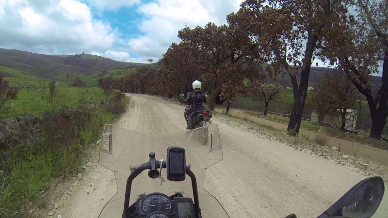
DAY 6 (26 Dec): Sedgefield to Cape Town (538 km)
Stats
Total time: 8h47 (61 km/h)
Moving time: 7h11 (75 km/h)
Resting time: 1h36
Maximum speed: 122 km/h
We needed to be back in Cape Town today, because Lance’s family was leaving for an overseas holiday and the family dog couldn’t be home alone. That meant a marathon run from Sedgefield to Cape Town; easy on a big bike, a bit more hard-core on a smaller one.
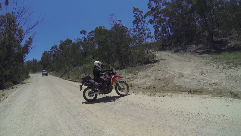
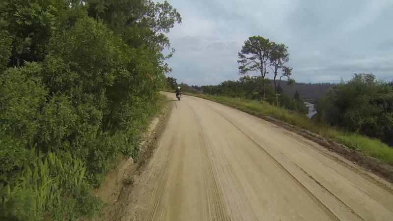
Regardless, we still included some dirt roads between Mossel Bay and Swellendam, because an entire day of N2 did not appeal.
We routed through Still Bay. There was nothing “still” about it. Theorem: The whole universe goes to the beach on Boxing Day. Corollary: All beach towns will be grid-locked. Thank goodness we were on bikes. The car queue looked long and frustrating.
Our chosen snack-break spot was under a shady tree in the dead-quiet land-locked town of Vermaaklikheid. Far from the madding crowd.
Vermaaklikheid:
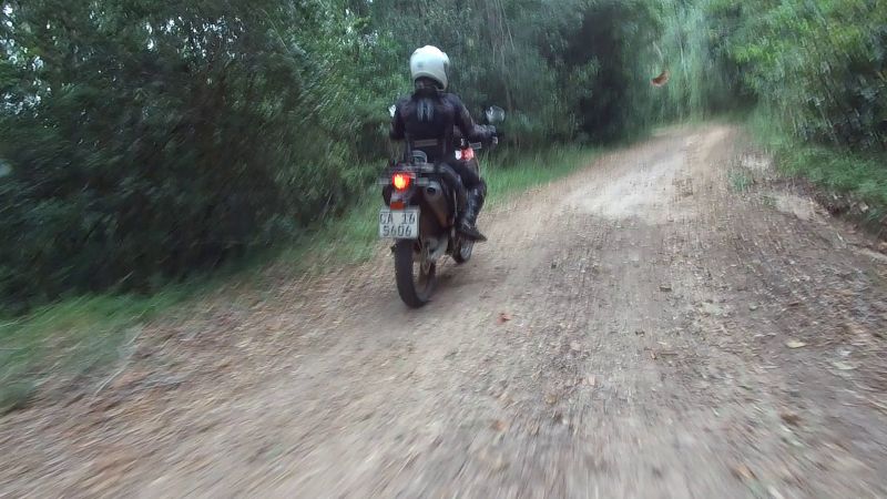
On the road again:
Uncomfortable corrugations:
Comfortable road:
The reason you need to be awake / aware:
Duiwenhoksrivier:
On the way to Malgas:
The plan was to cross using the Bree River using the pont at Malgas. Again, the universe had the same idea on Boxing Day. The queue was crazy-long on both sides of the river; it looked about “3-4 crossings long”. Unfortunately I have no photographic evidence.
We didn’t want to piss off the drivers by jumping the queue, but – as you know – biker kit is not really comfortable in higher temperatures while stationary, so we decided to just turn around, back-track a short section and then head to the N2.
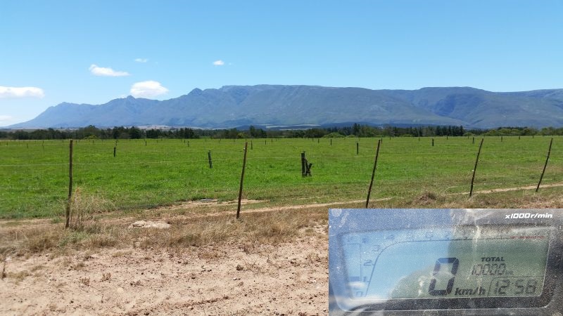
My bike celebrated its 10,000km birthday here:
Lance celebrated with a last off-road jaunt before we hit the N2:
It had rained in Cape Town earlier in the day and we were heading straight into a strong head-wind on the undulating N2.
This is the one place where the little 250 Rally struggled. The engine’s 24 ponies got tired on the up-hills into the teeth of the wind. I’d watch the speedo figures plummet from 120km/h (actual GPS speed closer to 110km/h) to 110, 100, 90, 89, 88…
A solution was to drop from 6th into 5th gear. The revs climbed to an uncomfortable 8000, but the bike could recover some speed.
Another solution was this:
It’s not apparent from the above picture, but I have my left arm across the handlebars and the chin-piece of my helmet resting on my arm. This would give some relief to my neck when holding such an aerodynamic position.
Needless to say, this was very tiring. Lance, patient and stoic, stayed with me. He also stopped randomly at the side of the road to allow me a break.
Yet, despite this trial by wind, I would not choose my bike any differently. I am more than willing to sacrifice my enjoyment of a national highway in order to immeasurably increase my enjoyment of every other piece of road and non-road I come across.
And Lance’s thoughts? The Rally is on his smaller-bike short-list…
He stress-tested it a couple of weeks later on a guys’ day out.
FYI: The Rally’s mirror came loose and was pocketed, but could just be screwed back on afterwards – no lasting damage.
I came along on the next exploratory day. I’ll conclude with bike trip eye-candy – that being the bikes, not the people!
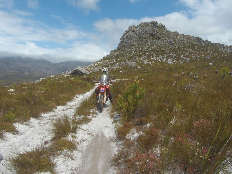

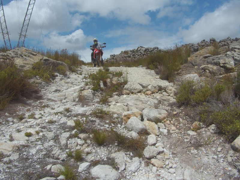
Steeper and “steppier” than it looks:
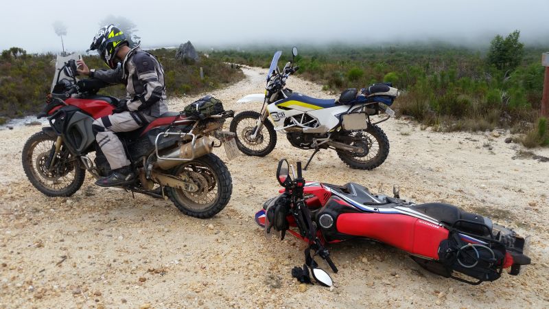
This was a pointless stationary lean-too-much-and-fall-over moment, hence Lance’s “concern”:

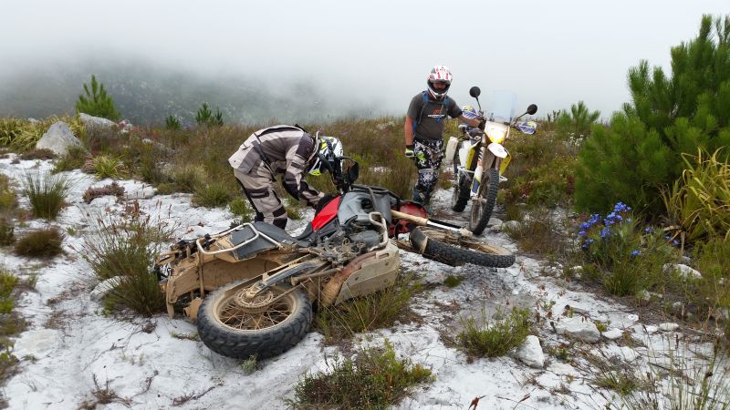
This fall was more understandable:
The 800 also rested, so even it is not infallible!
THE END
- 662 reads
Comments

Nice Zani! yet again, looks like an awesome adventure had by both of you.
i would love to go off the beaten track like the 2 of you, but unfortunately i am mechanically challenged!!!!! tried it once, and had a hell of an experience getting bike towed back.
any chance you mailing the gpx route to me, or posting for us all? maybe point out where not to go for 40km detours, or im sure i might see it on the map.
Thanks Zani and Lance

Hey Brian, I remember that trip we did down the old postal route where we all almost died when we got to the Doring river. The old postal route becomes a lot easier the second and third time you do it so keep testing out some beating tracks and you'll be sure to start enjoying them. Those trips where things go wrong are the real adventures that you remember and talk about for a long time.
Here is a link to the gpx route we followed, minus the 20 odd dead ends we turned around at.
thanks Lance......appreicate it. yes, i remember that trip well. My very first offroad trip with guys i had never met, and we did the postal route with klomp sand a bit of everything else to go with it! what an introduction to offroad....but was flipping amazing. thanks for that.
| © BMW Motorrad Club Cape 2006 - 2020 | Back to live site | Site built and hosted by HoneyBadger.net |