Sand, sand and more sand...

Background
I have been struggling to keep up with ride reports, as I have been riding more than writing! Ever since mid-June there’s only been 5 weekends where I have not been on my motorbike for at least a full day (v.s. 10 weekends of 1-3 days trips!). Addicted much?
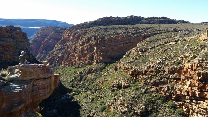
So after almost 2 months, here it is: my and Ilse's first time on the infamous Eselbank road close to Wupperthal. It has been on our to-do list ever since we started this strange thing called dual-sport motorbike riding. Along with Baviaanskloof and Die Hel, it represents the “scariest” scenic must-do rides if you are a newbie on a “Geen Sand” in the Western Cape area.
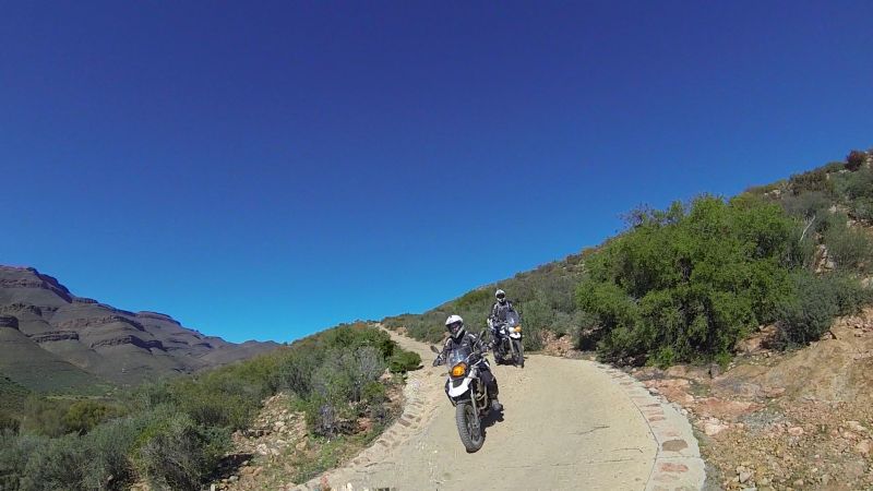
Being newbies, both us girls needed chaperones. Therefore Gerhard and Lance were roped in as “chief sand advisers” and navigators. I think they may need to be suspended from services, as we ended up on a road that was even worse than the Eselbank road. More on that later…
I had hoped to build up more mental fortitude before tackling Wupperthal, but the guys stuck to their favourite refrains: “You’ll be fine” and “It isn't that bad.” Therefore we set off on the weekend of 25/26 July.
The route
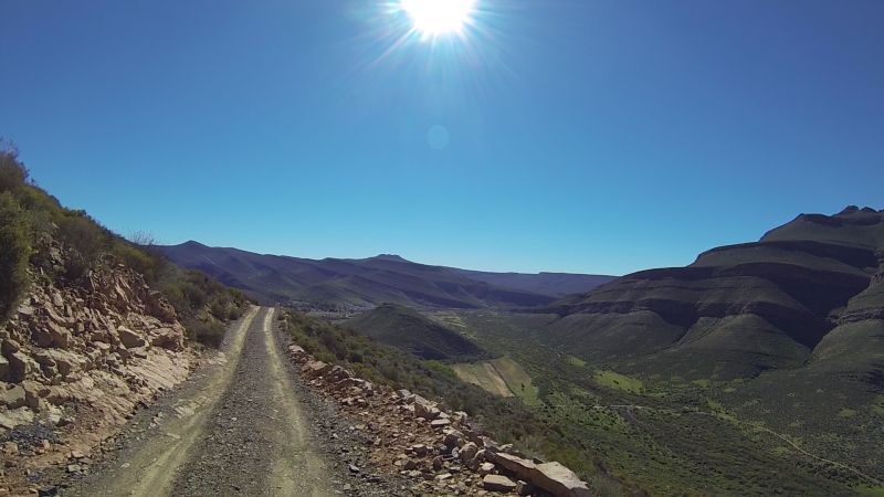
I usually add Google Maps tracks of our routes for those, like me, who do not want to download loads of extra programmes to view fancy tracks. I have also attached the gpx file. There are problems with both. The gpx file represents the original planned route, which we did not follow due to various reasons. The Google Maps links contain the actual route taken, but it is broken up into bits on our first day, as Google Maps believes that some of the routes we followed do not exist. Lance is submitting these as faults to Google Maps, so perhaps the next time you look, the route will work.
Day 1: Saturday 25 July
The Google Maps route in bits: Part 1, Part 2 and Part 3.
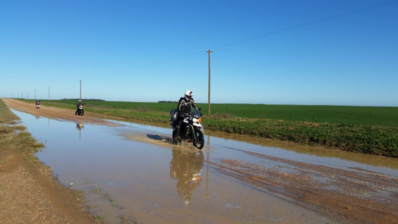
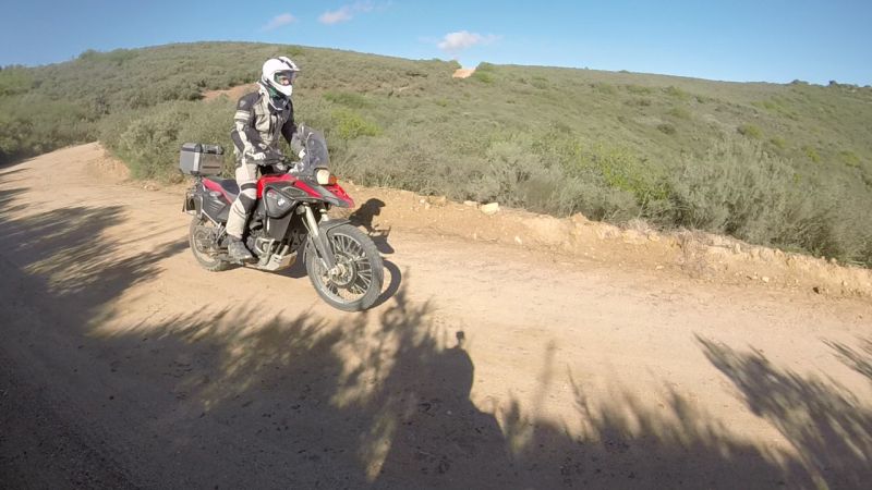
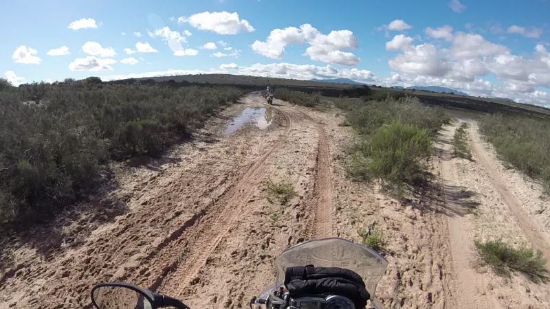
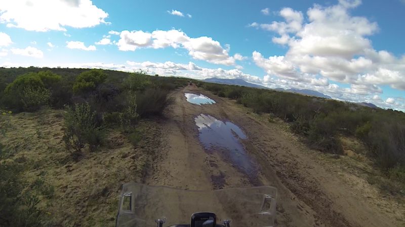
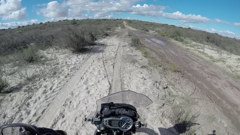
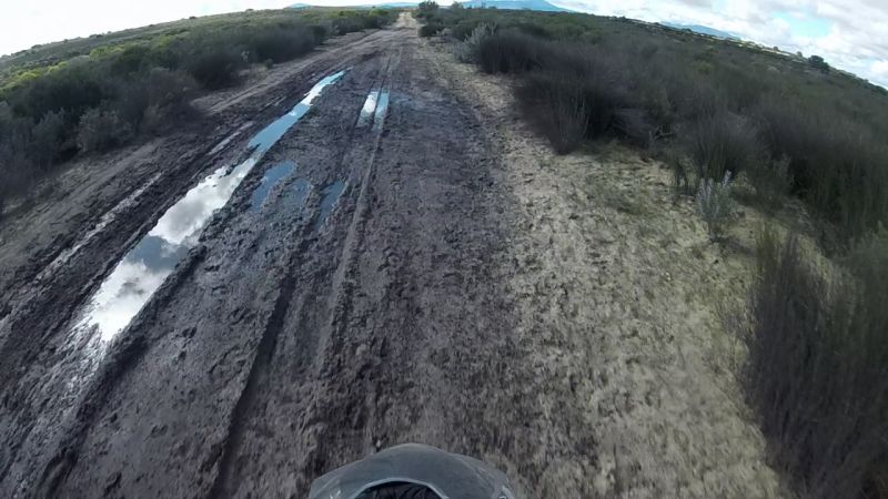
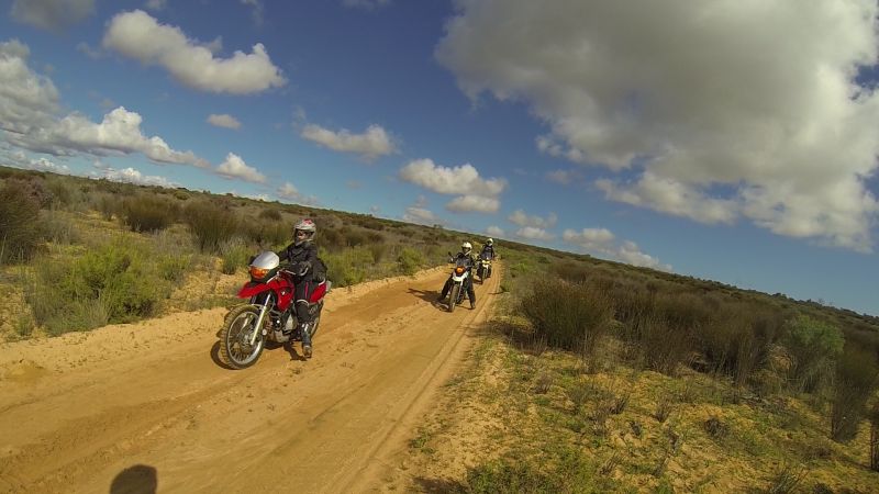
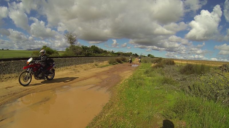
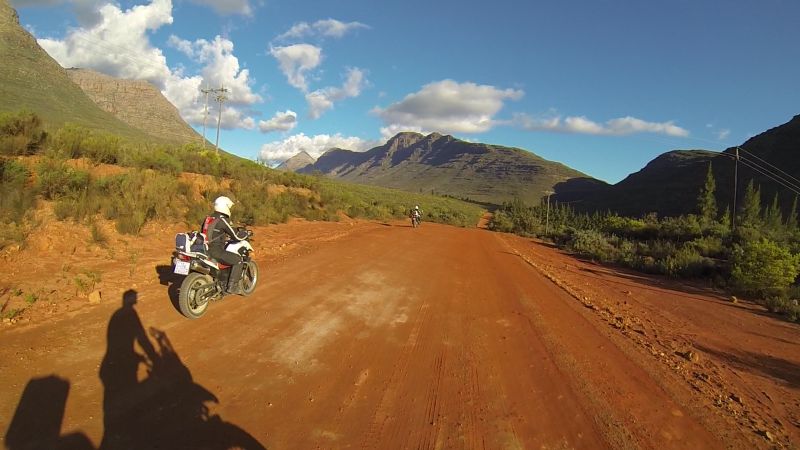
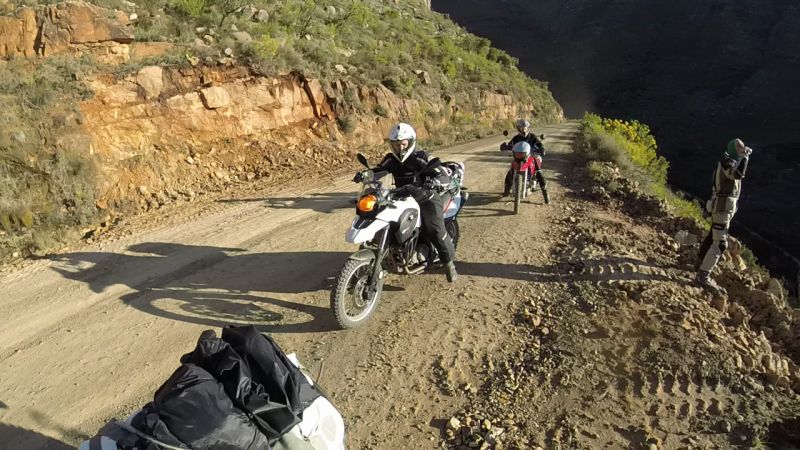
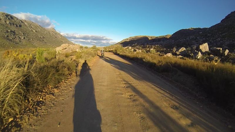
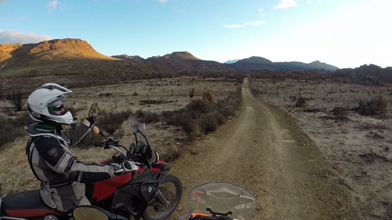
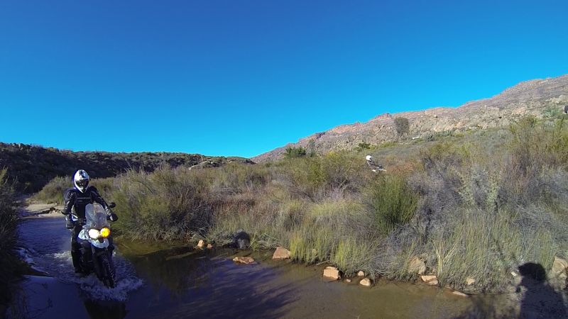
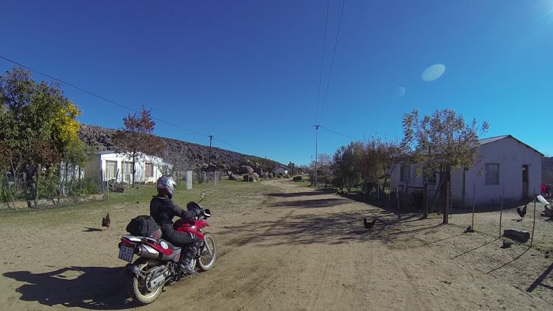
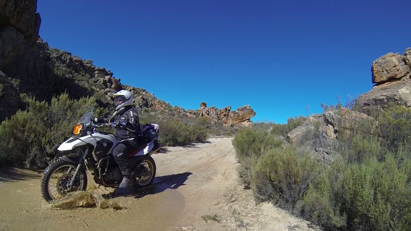
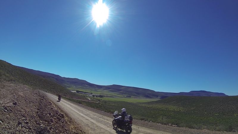
We set off from Table View at roughly 8am. Thanks to the winter weather, some roads that are usually sandy (only in newbie terms – it may pass as uneventful hard-pack for the pros), ended up being easy. Wet weather has other perks though. It did not take long before we found the first puddle.
Gerhard leading the way across the puddle
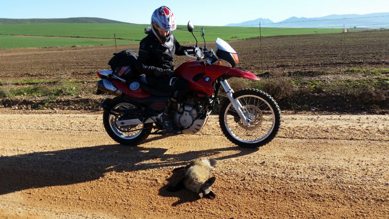
Lance was in front for a while, which meant that he was the one who usually got to see any wildlife. He said he saw quite a few foxes running across the road. The only one I got to see was a dead one. Shame. Photo disclaimer: the death of the fox was not caused by our group. Hitting something that size may cause some damage to the biker as well.
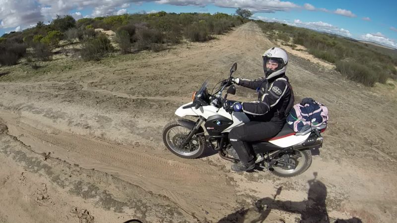
Me with dead wildlife
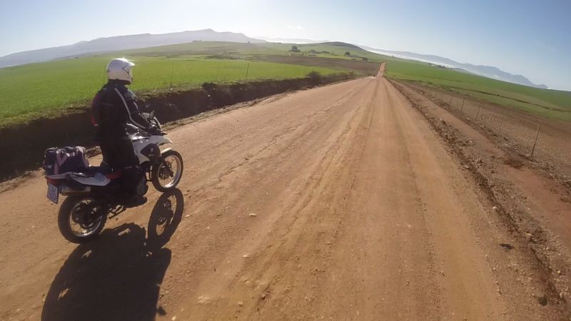
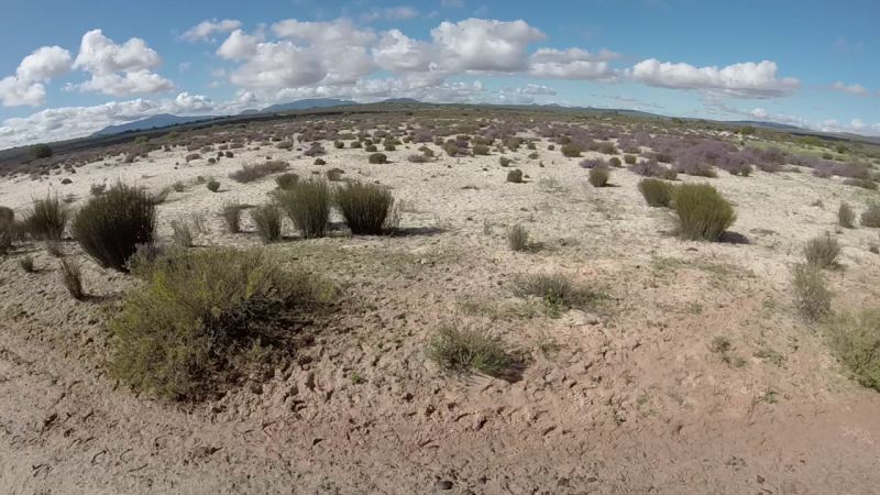
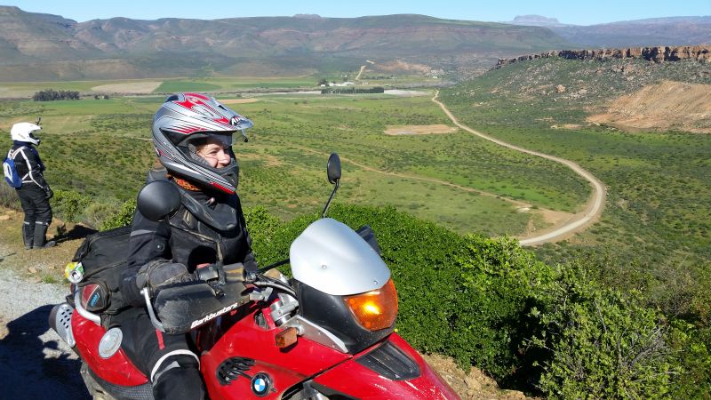
I really believe that winter and early spring is the best time for riding. Sure, in the Western Cape it is like playing Russian Roulette with the rain, but at least everything is green and you do not become a sweaty mess in full safety gear.
Ilse in a green landscape
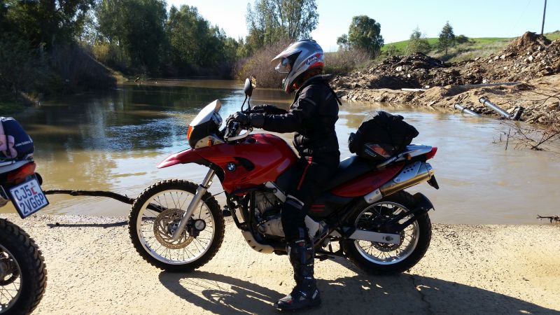
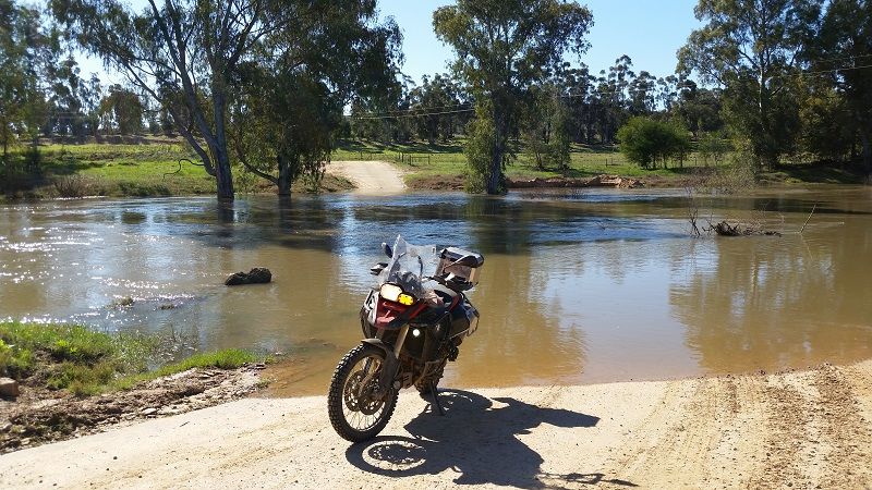
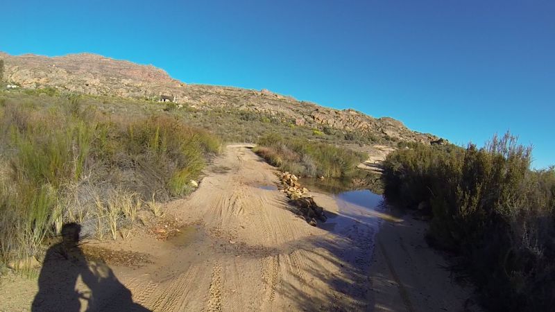
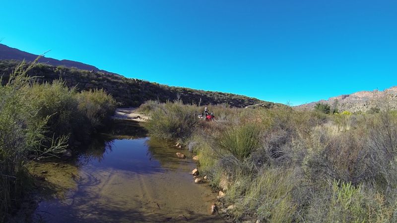
We crossed the Berg River. Google Maps did not believe that this crossing is possible, which is in fact true for some parts of the year. Sure enough, Lance and I were there just a week later and it was completely flooded with fast-flowing water – not recommended for even a pro biker.
How the Berg River crossing looked on this trip

The Berg River crossing the following week
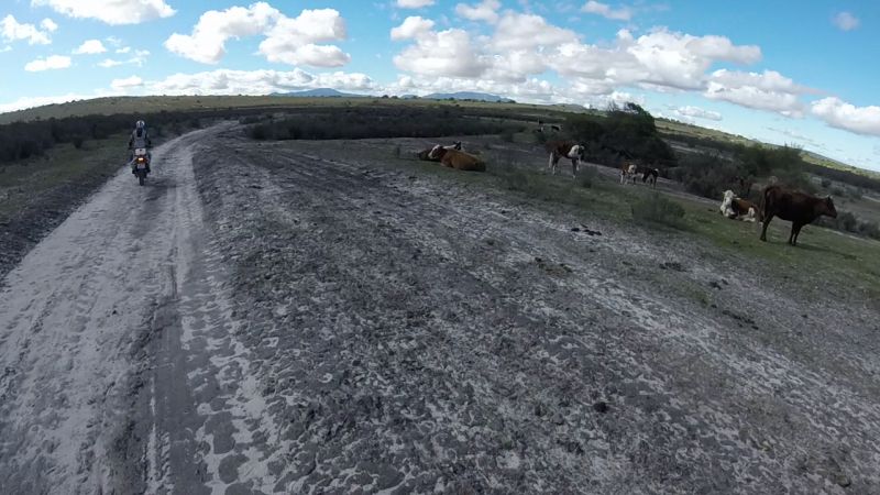
Some “not-so-wild” life spotted en route
Wilder wildlife in the foreground
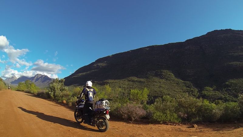
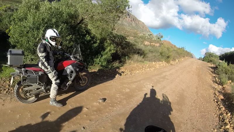
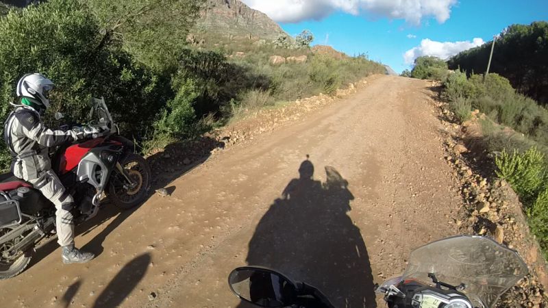
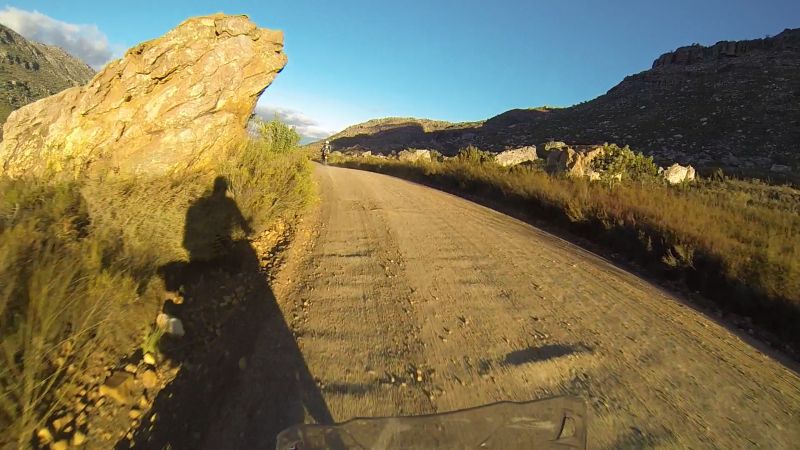
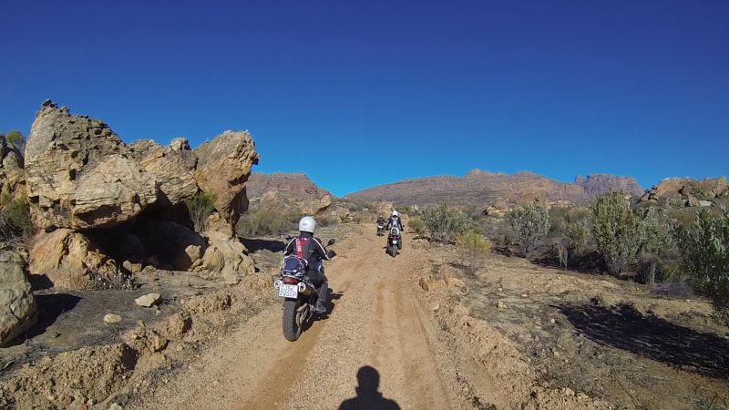
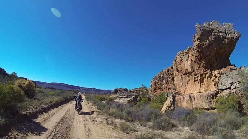
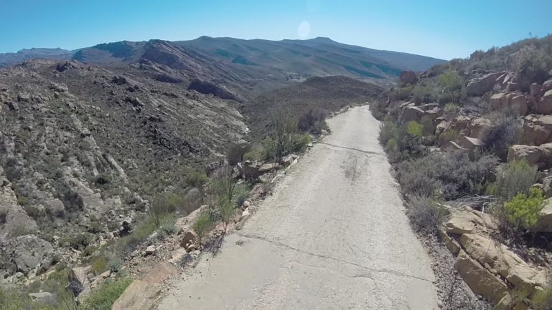
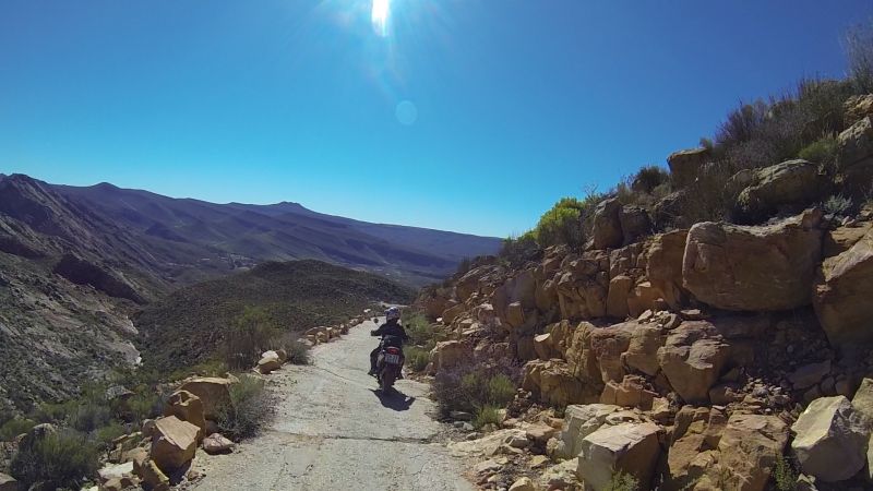
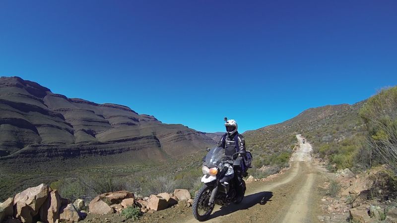
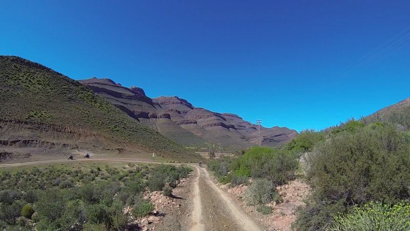
We rode over Kapteinskloof Pass (http://www.mountainpassessouthafrica.co.za/find-a-pass/western-cape/item...), which is on the road connecting the R399 with the R366
Lonely motorbike on Kapteinskloof Pass
Lance on Kapteinskloof Pass
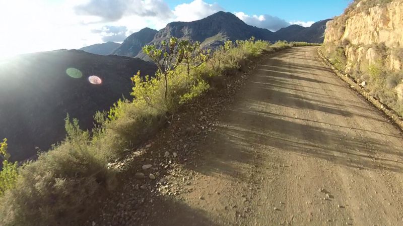
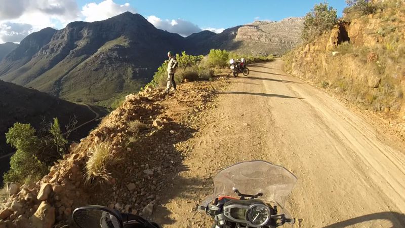
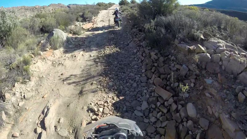
Gerhard had put together the planned route for today. Any applause or blame for the route would rest on his shoulders. I think a lot of the route planning was based on “this looks like an interesting, potentially passable route” theoretic. It also meant that we would come across something like this:
No-go
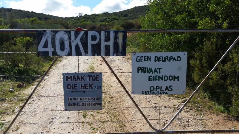
Gerhard phoned the owner, who insisted that there was no through-road, though maps showed otherwise. I suspect he prefers 4x4 vehicles only (it is a 4x4 route that requires permits).
Turning around – at least the view was amazing
The guys spotted something that set their hearts racing. We told them to continue with eyes to the front.
Sand mountain
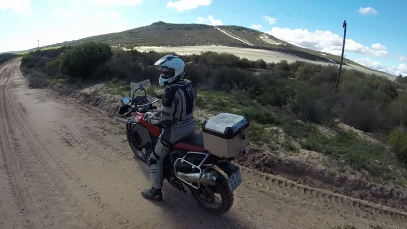
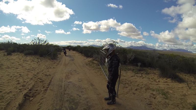
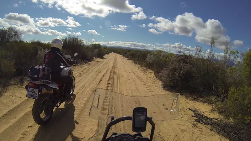
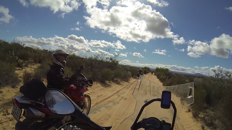
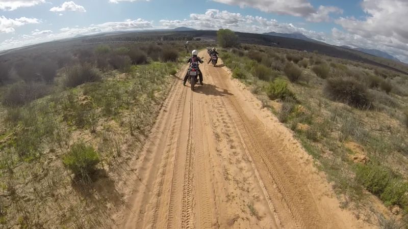
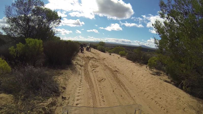
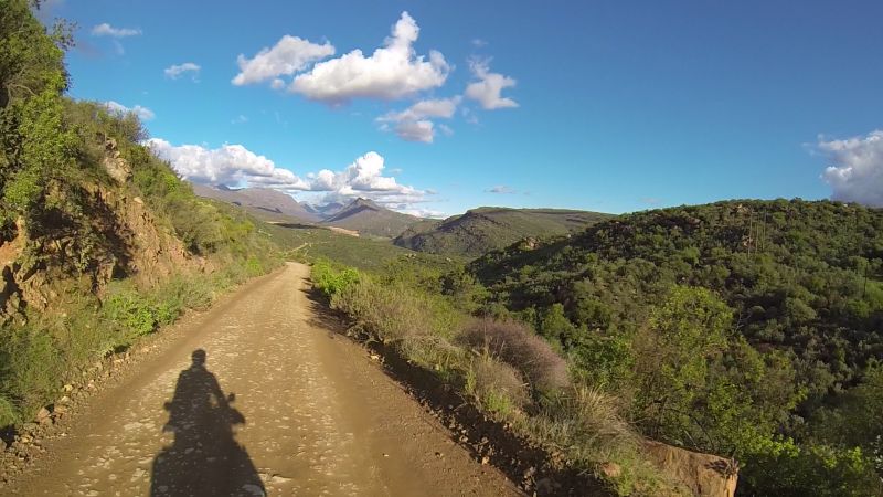
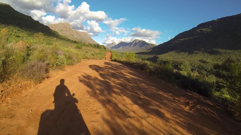
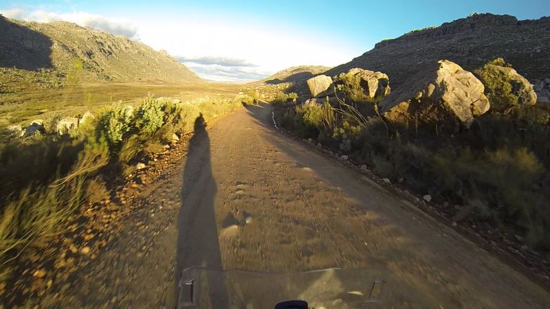
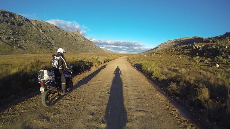
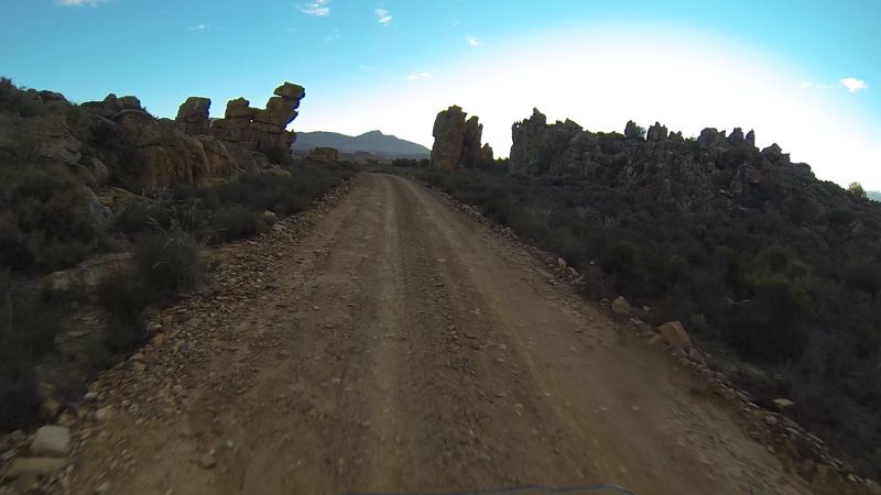
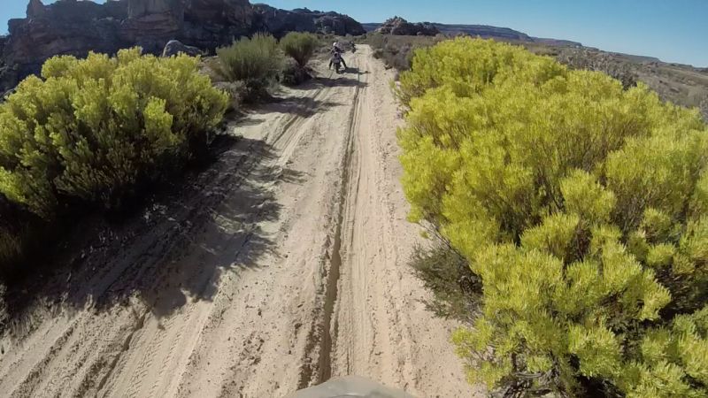
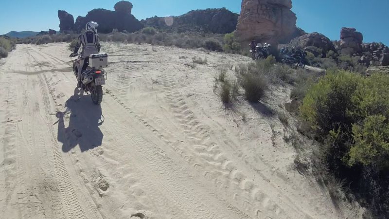
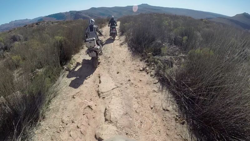
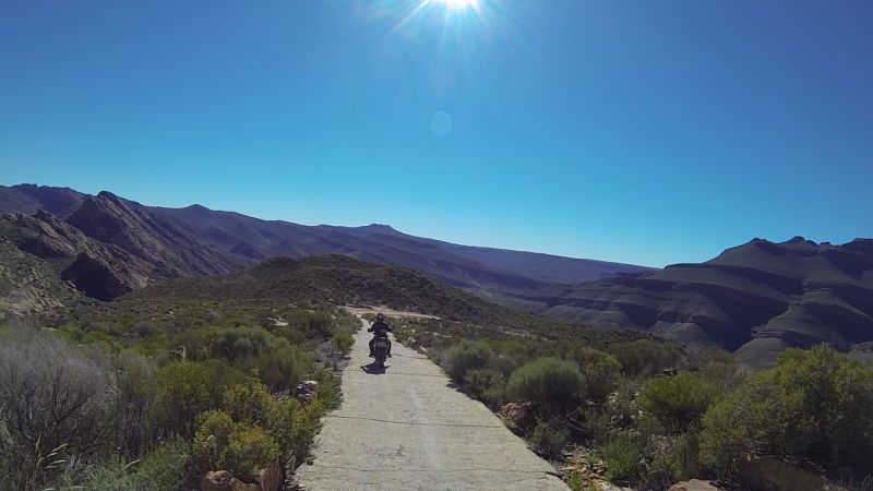
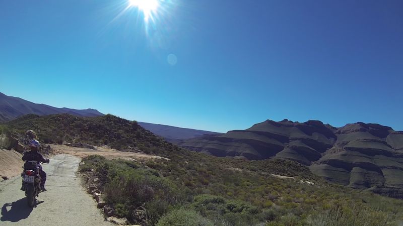
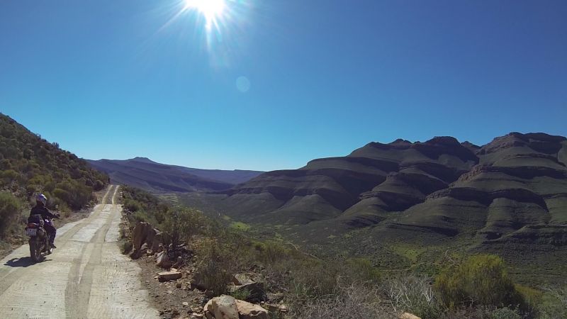
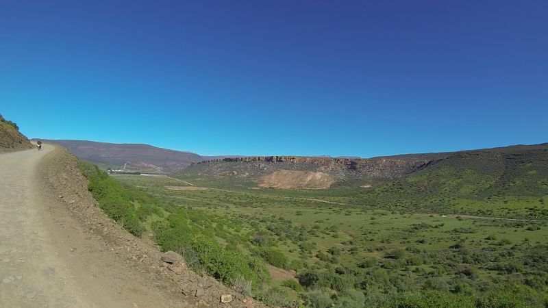
The road between part 2 and 3 of the Google Maps, connecting the R366 and R365, is the other bit that Google Maps thinks is a figment of our imagination. It’s definitely burnt into my memory, no matter whether real or imagined. Ilse and I would both find this particular stretch to be far worse than the Eselbank road. Lance tells me it’s only 5km. Seriously? It felt like forever. The scenery was amazing though. It felt like we’d been transplanted into a different world during a different era.
Fynbos and sand panoramic
The route had every challenge and obstacle a newbie could ever want/not want:
Sand
Puddles
Sand and puddles
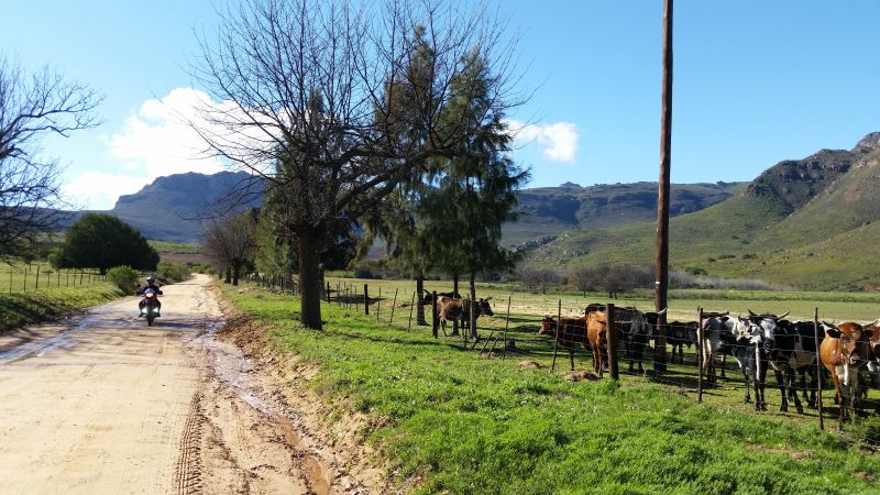
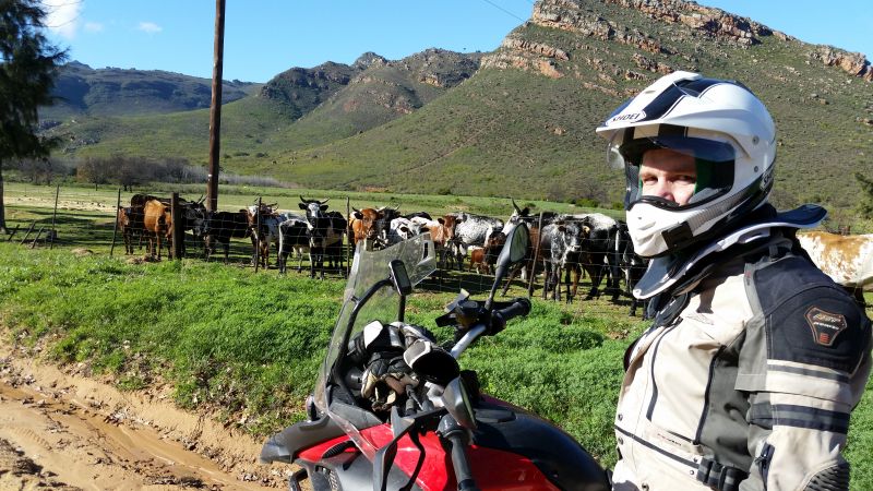
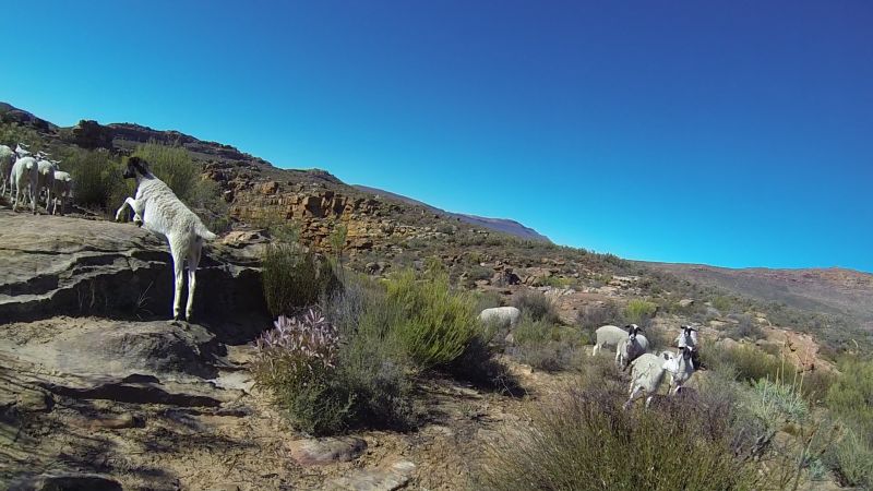
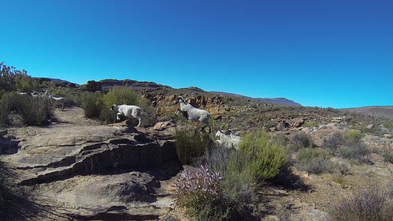
Free-roaming cows
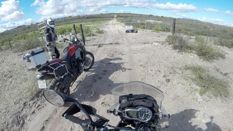
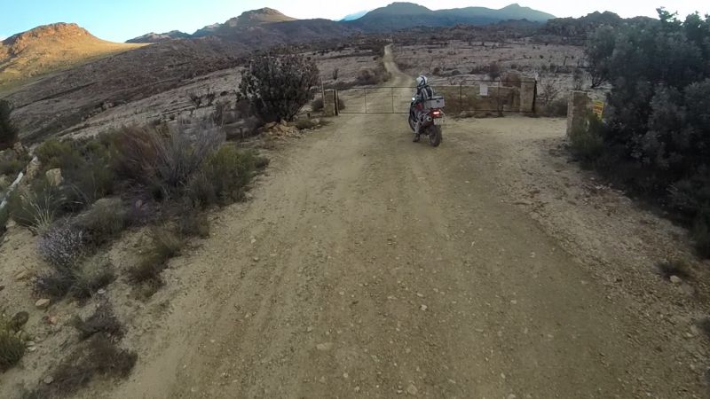
Gates
Erosion
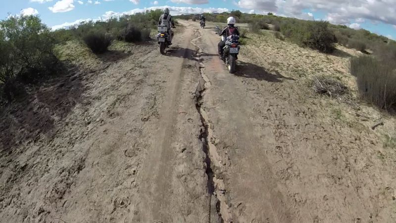
Mud
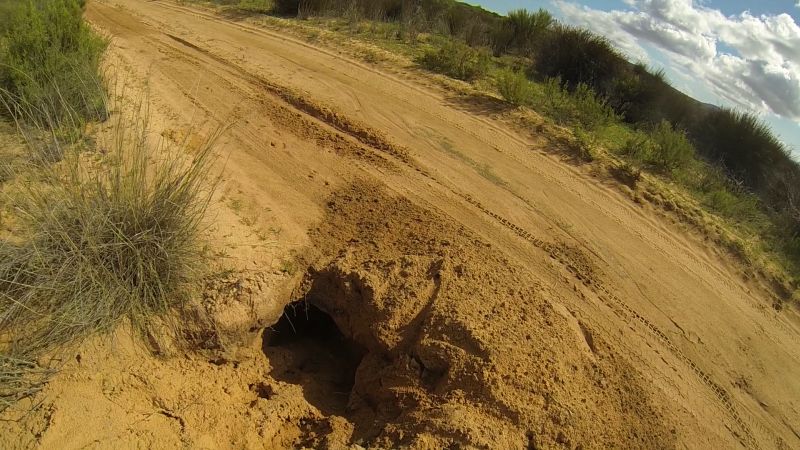
Strategically-placed holes dug by the locals
Hard patches of something (concrete?) interspersed with sand, just to keep you on your toes about what’s hard and what’s not
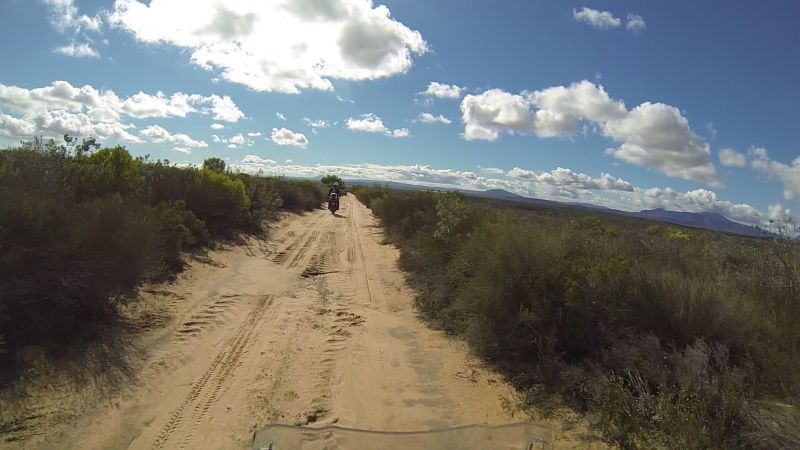
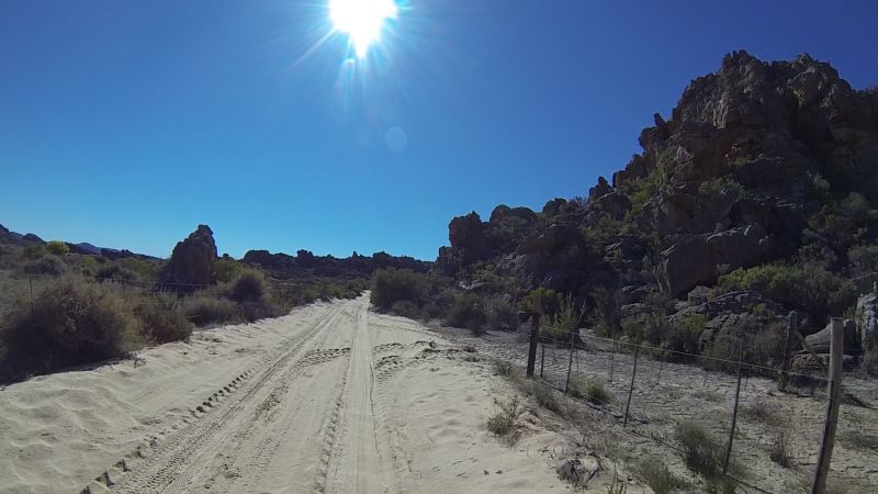
Sand
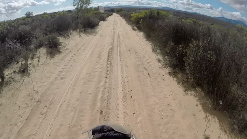
And more sand
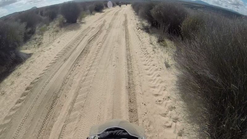
Endless sand…
I do not even want to begin to imagine how sandy the route would be in mid-summer.
“Where on hell’s earth are you guys taking us?”
“I will kill you later”
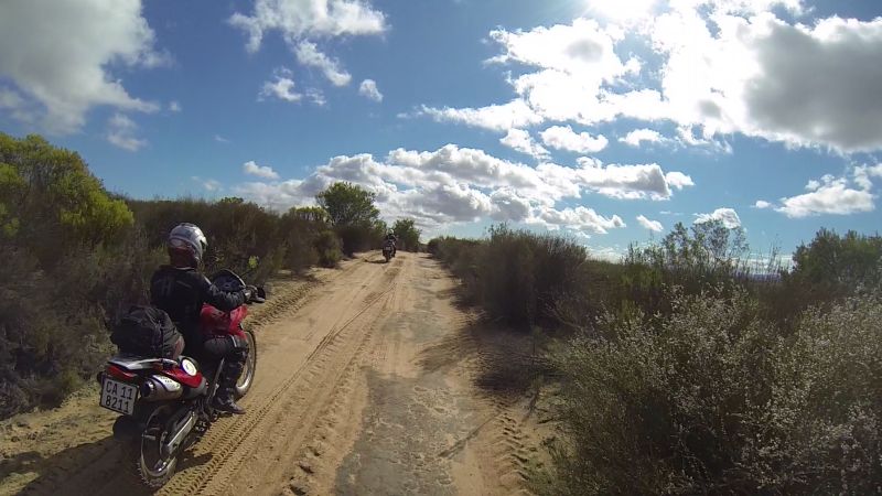
Sand is a mind-f*** if you’re a newbie. You know the theory, but the mind/survival instinct revolts. My mantra/chant I had going in my mind the entire time was “Look ahead, look ahead, look ahead, look ahead…” The moment you look down, you’re buggered. Problem is, when I see particularly thick sand, I do look down. Then out comes the oars.
Girls paddling along
I could manage shorter stretches of thick sand or longer stretches of not-so-thick sand without deploying the oars, as a general rule (but not always…). You have to get used to the idea that the handlebars become window dressing. They can do strange things, but you will keep going straight if you use your feet to steer and don’t attack the handlebars, turning their “strange things” into “strange flight.” Again: all theory. Getting your mind/reactions to believe this is another story.
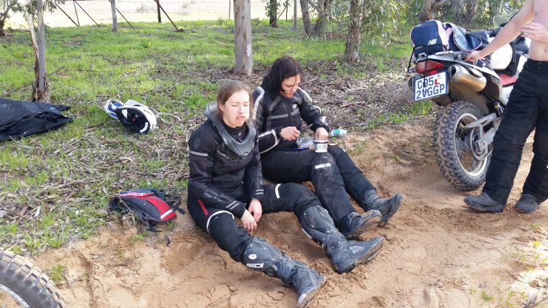
I managed (just), but Ilse was having a “bad mind-space” day. I've been there before (actually only 2 weeks previously on the last day of my and Lance’s trip to Verneukpan) and it is not fun. Everything gets pushed upwards on the scary scale and things that should be manageable become insurmountable. Your chances of falling increase. Every fall puts you in a worse space and increases your chances of falling again and again. I was in a good space and stayed upright. Ilse came down three times.
The guys generally rode ahead. Ilse, in particular, doesn't like it if Gerhard rides behind her, because then she feels bad about keeping him back and pressured to go faster. This meant that during her falls, the guys, as a rule, were a bit ahead. They have the GoPros, which is why there’s no photographic evidence.
Ilse and I shortly after lifting her bike
The tracks tell a tale
Ilse not having a good day
(I must mention here that 7 weeks later, Ilse, Gerhard, Lance and I headed to Wupperthal’s Eselbank road a second time, with a bunch of others. This time I was the one needing to get dug out the sand and lagging right at the back of the group, while Ilse was handling everything really well. It shows how your “head space” can affect your riding. That’s part of a future ride report though.)
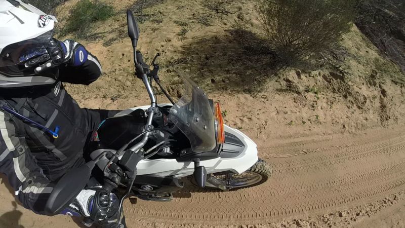
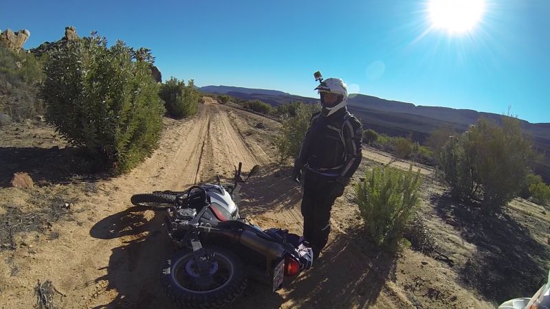
This is not to say that the guys didn't have their own unique problems. Gerhard’s Triumph is temperamental where starting is concerned. Mechanics can’t seem to fix it. Diagnostic tools are not showing up any problems. Originally it was thought that the stepper motor was a problem (apparently a common gripe with this particular bike), but the problem persists. On this day, the bike decided to escalate the problem, just for kicks and giggles. The bike had been relatively easy to push-start on gravel highway, but when it cut out and refused to start in thick sand it presented a whole new problem. The guys pushed the bike a far stretch, but it still did not want to comply.
Gerhard walking to his stubborn bike, after trekking back to fetch his helmet he had left on the ground
Another method was required. The guys pushed the bike again, in neutral, and pressed the starter button. The Triumph decided it had rested long enough and given those lazy guys the hiking exercise they needed. It started up. This method worked only once and could be largely due to luck and the fact that the Triumph had had a long enough “rest period.” The starting issue may just be time related, i.e. the bike wants a couple of minutes to just chill and take in the scenery.
We finally reached the end of the sand road. Please excuse the non-photogenic nature of the below photo. I was munching food, kindly provided by Ilse: biltong and cream cheese on crackers. Yum!
Exhausted
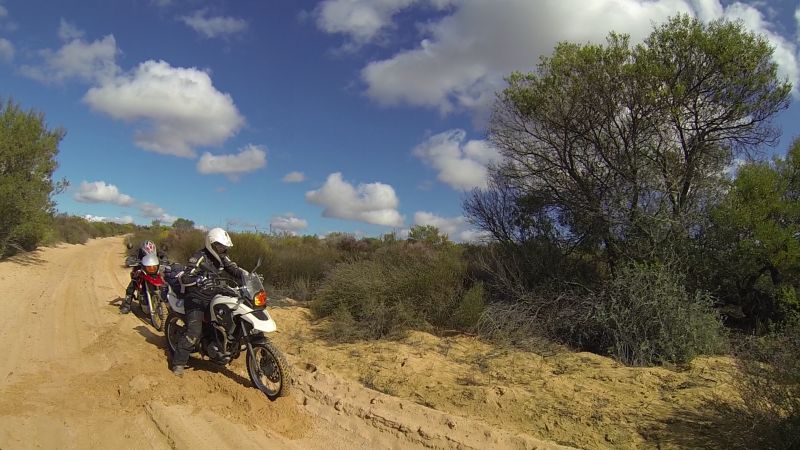
The guys did a quick route recalculation. Given the time of day and the length of time it had taken to do the route so far, it was decided to leave the Eselbank road for tomorrow. Both Ilse and I heaved a sigh of relief. We’d had enough of sand for the day.
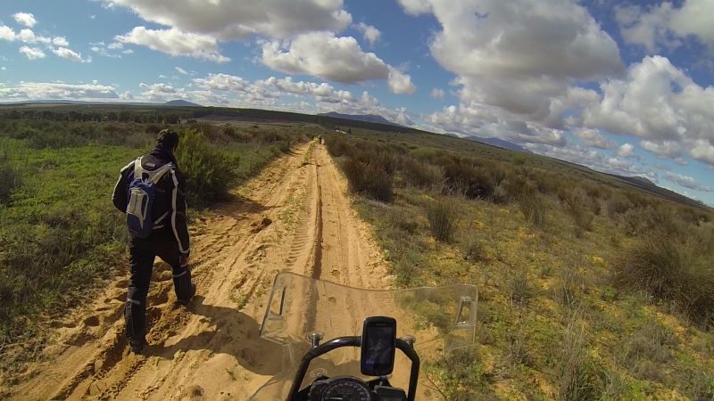
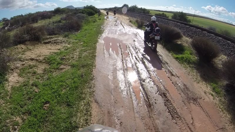
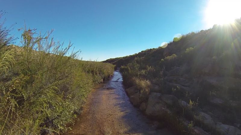
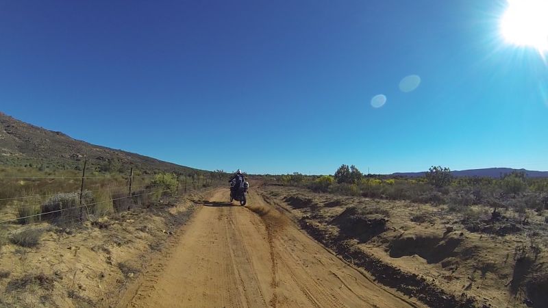
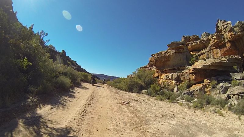
The next stretch of road took us alongside a railway line. Obviously we still had not yet had our fill of puddles.
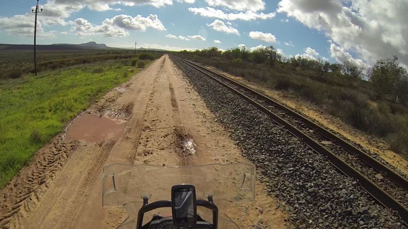
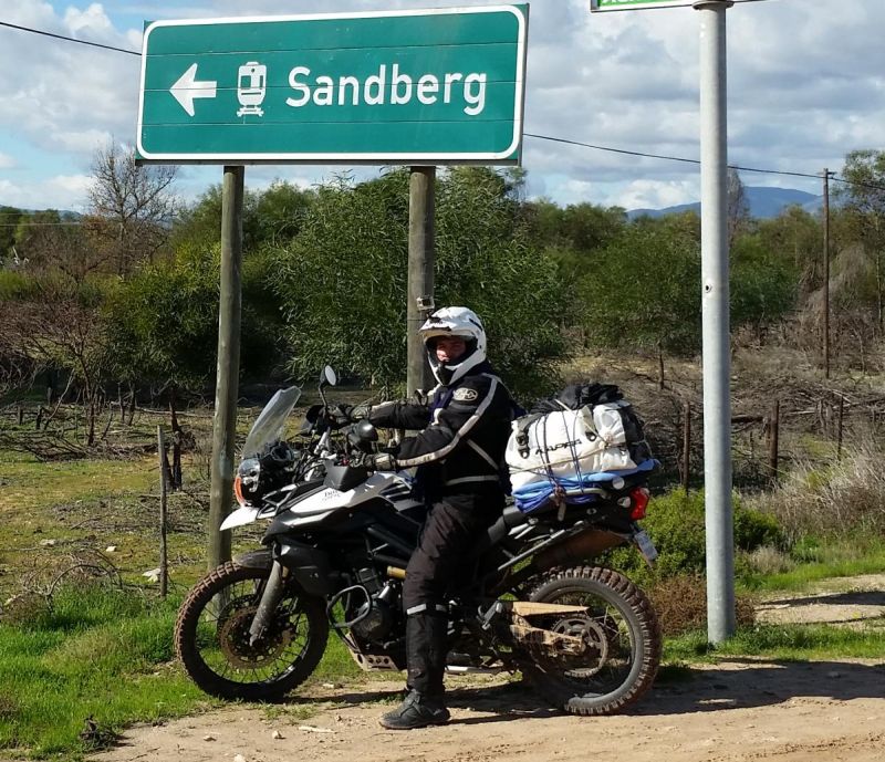
An appropriate road-sign given our earlier route
Heading in to the Cederberg area
This is what I like about riding in a small group: you can stop for the smallest thing that catches your interest without feeling as if you are holding up an entire group. In this case it was a tortoise.
Why did the tortoise cross the road?
To inspect the motorbike
Uitkyk Pass
What better to do on Uitkyk Pass than to “kyk?”
It was getting late, but this is the best time to see all the amazing colours of the landscape.
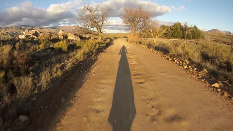
What a privilege to have these roads “in our back yard.”
The guys wanted to go exploring, so they went off on their own. There was not enough time to take us slow girls along as well.
“How about this road?”
They found more sand
And the old observatory
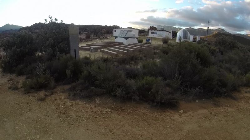
The new observatory is in Sutherland, because the light pollution became too much in the Cederberg area. Apparently talks are still held at the old observatory.
“And how about this road?”
Gates are a bit more “optional” when on a bike (spot the easy way around)
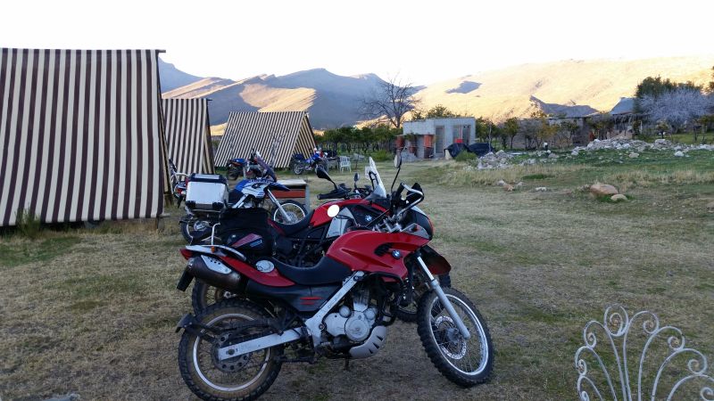
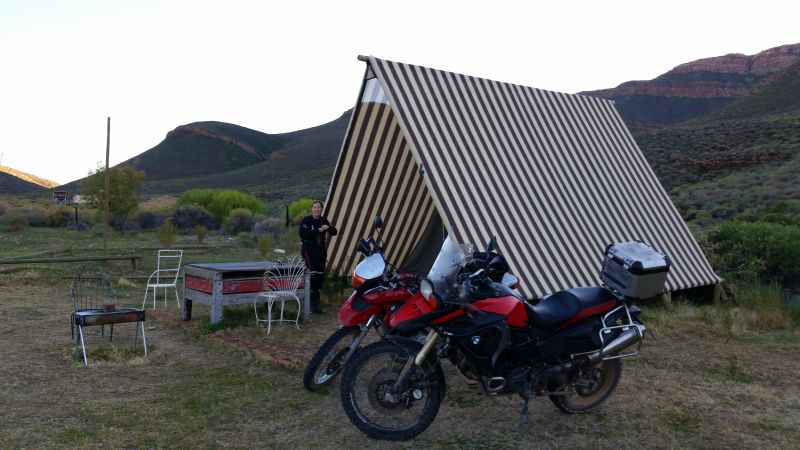
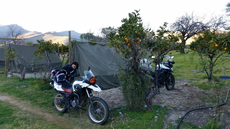
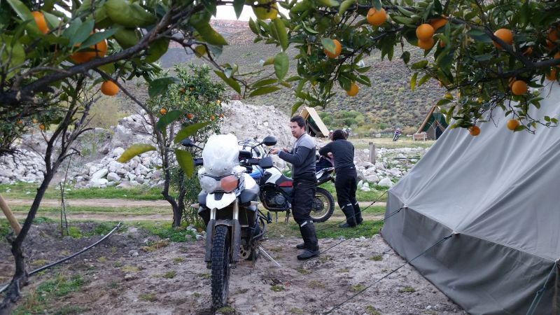
The guys finally joined us at our destination: Cederberg Oasis. The place was abuzz with people. I even bumped into an ex work colleague. He had come from Sanddrif campsite in order to watch the rugby at Oasis, while his family (wife and small kid) waited for him back at Sanddrif!
Tent sweet tent
Supper consisted of an amazing buffet, where every bit of food was more-ish.
Day 2: Sunday 26 July
Click here for Google Maps route
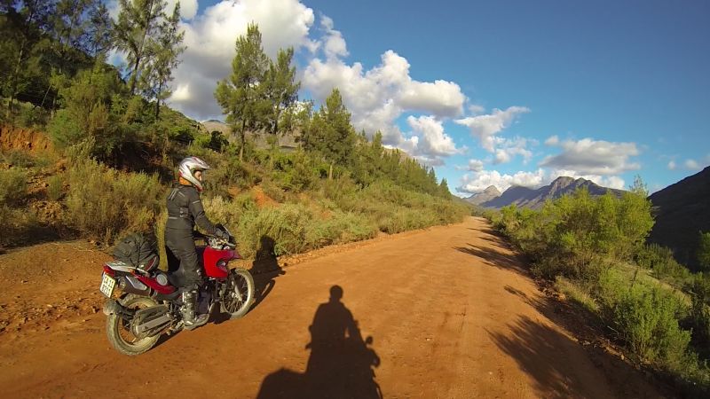
The next morning, we headed off to do the infamous road to Wupperthal.
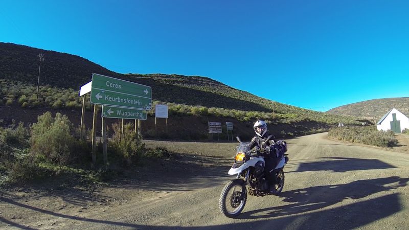
It was very cold in the morning, reaching -4 degrees C at one point.
Early on, you could see the road would at least be more “interesting” than gravel highway
One section had a chicken run option.
Which one would you take?
No contest for me – I choose the high road
Ilse follows my lead. Of course, Gerhard always likes to try the route less travelled.
Ilse down again

It had nothing to do with head space this time. Phobia is the correct word. Apparently there was a snake in the road. Ilse did some strange manoeuvres to miss it and ended up on the ground. Lucky for her, the snake had decided that it was all a bit too exciting to hang around there.
Do I have to pick it up?
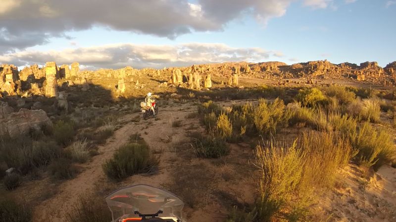
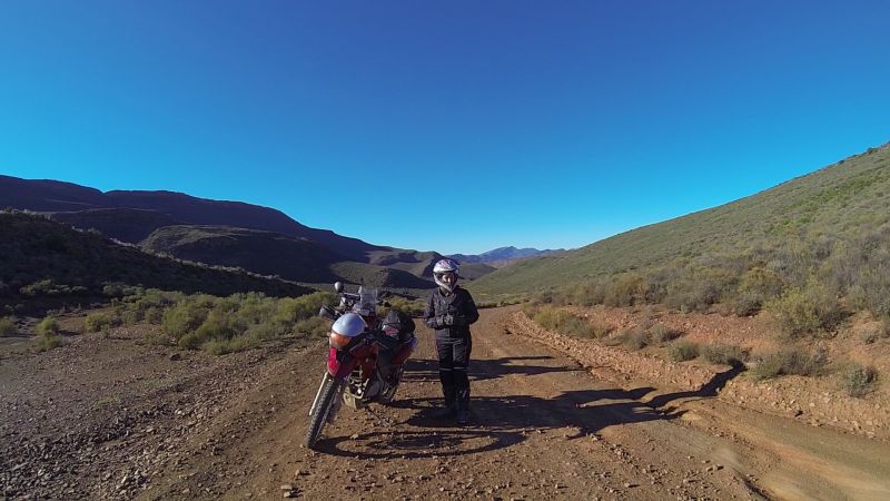
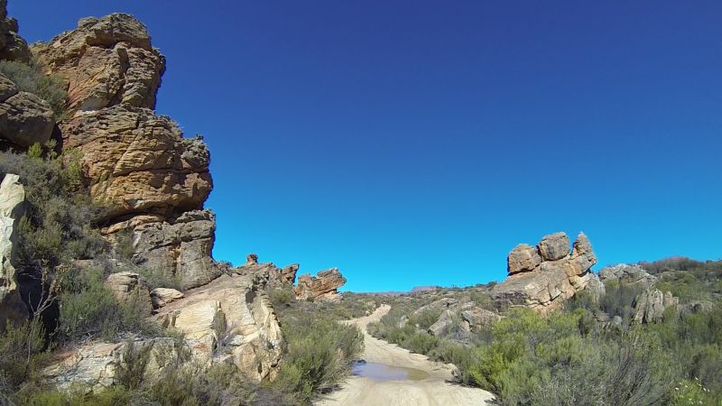
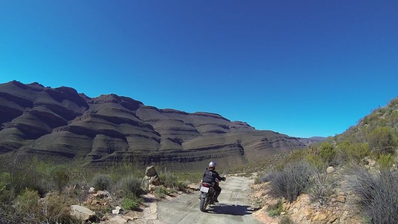
Amazing Cederberg rock formations
Gerhard having fun
Eselbank village in the middle of nowhere
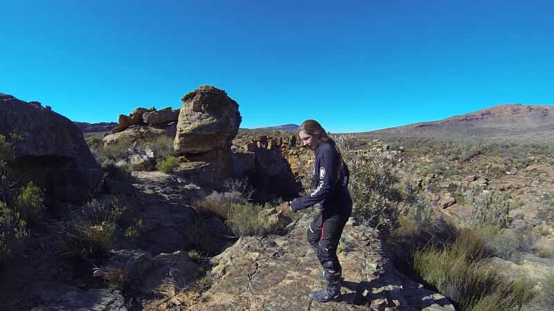
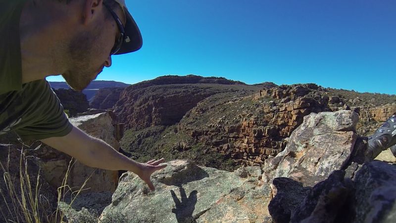
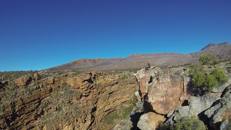
Shortly after the village, there’s a turn-off to the right (where the main road kinks to the left) to the view point at the Eselbank River waterfall and gorge. I have been on this road I don’t know how many times before, either as a pillion on a bike or a passenger in a 4x4, but I had never been here before. Do not miss it. The views are lovely.
These boots aren't really made for hiking. At least it’s a short walk.
Get in touch with a rock today
Me on a rock with a view
Lance with spectacular surrounds
Some locals took fright at us scary bikers
We headed on, past some more amazing rock formations.
And then we hit sand…
After yesterday’s fiasco, we were mentally prepared. The sandy bits seemed short in comparison. The sand was also not as bad as it would be in mid-summer. We got through without event.
There were even some puddles to remind us of yesterday.
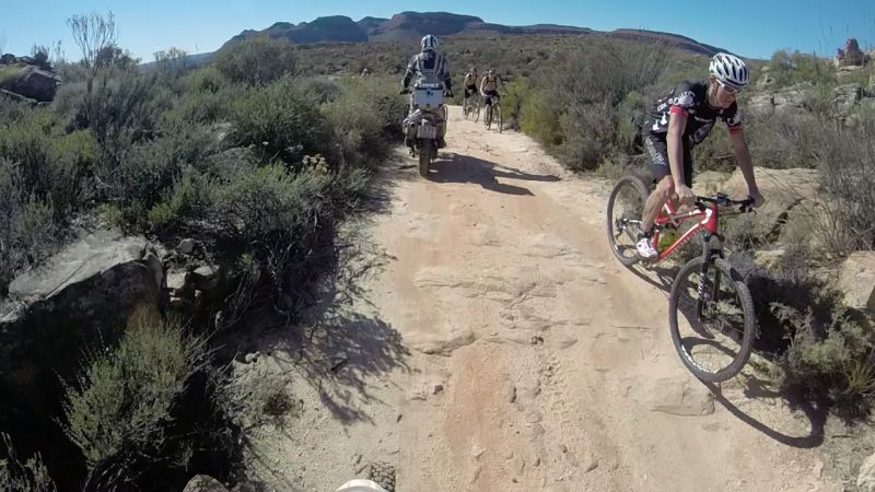
We spotted a bunch of other bikers taking a break. I hoped they weren’t laughing too hard at my pace…
Lance checking out the others
Some prefer to do it the hard way
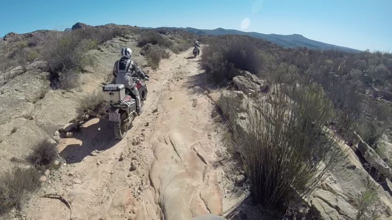
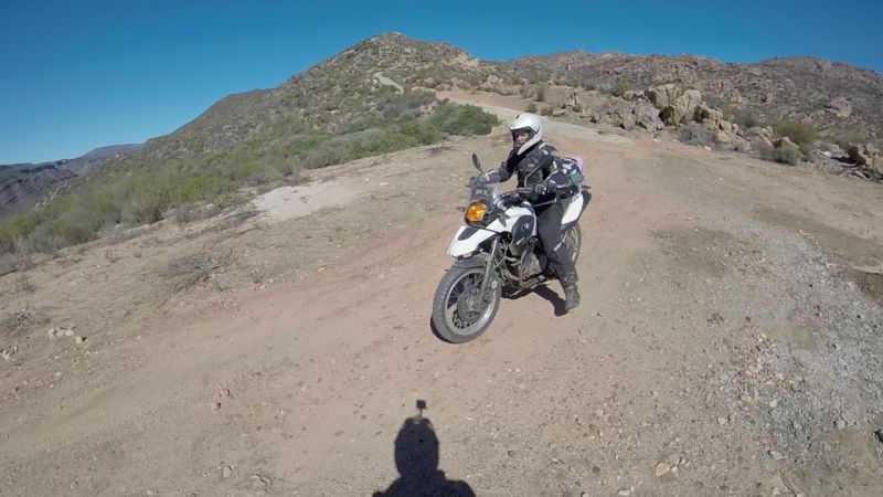
The road was quite rocky on some stretches, but as long as I was allowed to go at my own speed (i.e. dead slow in either first or second gear) I actually had fun. It felt a bit like mountain biking, just without the sweat (and also with a much heavier contraption that can fall on you if things go wrong).
Lance shepherding me
Eselbank Pass – steeper than it looks
Below is proof that the guys are also not infallible. Gerhard stopped on a corner of Eselbank Pass, looked behind him to find Ilse, and dropped the bike.
Ilse stopping to help out
Eselbank Pass is very steep. If you are a newbie and are not comfortable with speed, stick your bike in first gear to use the engine’s compression to slow you. It’s amazing how much speed you can still pick up in first gear though! I only used my brakes before corners. Sitting on the brakes the whole way down is not a good idea. I think they heat up and are then useless when you really need them?
Eselbank Pass is amazing. I was having difficulty choosing the best pictures, so here is a whole bunch:

We headed down into the Biedouw Valley. Apparently this is a great place to check out flowers when they are in bloom.
Heading out the other side of Biedouw Valley.
We would be back in this area, doing a very similar route, in 7 weeks’ time. What’s not to like?
| Attachment | Size |
|---|---|
| Oasis 25-07-2015.gpx | 429.54 KB |
- 3327 reads
Comments

Excellent report and awesome photos Zanie, thank you!
Fantastic report Zanie - thanks.
The Eselbank road is one of my favourite rides.

A great report Zanie, great pictures and really interesting.
Thanks,
Andy

Well done!!! I did part of that route in a 4x4 the weekend before last, and I wondered the whole time whether it would be wise to do it on a bike? Pretty amazed that you ladies did it!

Well done Zanie you can be very proud of this achievement!
Thanks for the report and great pics to share the journey.
Life is a journey, enjoy the ride!

Help! Good report!!! I want to download the gpx fle but no go?
Great stuff Zanie - you can become a professional RR writer!
Thanks all for the positive feedback! These RR's really are a "labour of love." It takes days to extract photos from sometimes hours of GoPro footage (especially if both Lance and Gerhard are recording!). Your appreciation and the fact that I can relive my rides when checking out these reports makes it all worth while. Now we just need to convince Lance to make a video... ![]()
Skim: Try right-click and then "save link as." This works for me. Otherwise you can also get the gpx file from the Wild Dog forum. It's easier to download there: http://www.wilddog.za.net/forum/index.php?topic=180286.msg3355470#msg3355470
Mwendo: High praise indeed from the master of RRs! I really enjoy your ride reports - love the writing style.

As always a fantastic report Zanie - I know that writing, editing & uploading these RR's are not nearly as much fun as actually riding them, but allowing us the opportunity to enjoy them vicariously when combined with your zany(lol ![]() ) sense of humor makes it nearly as good as being there......
) sense of humor makes it nearly as good as being there......
Thanks again - your efforts are hugely appreciated.
Thanks Zanie will try wild dogs - the right click want to save HTML file which does not help.
You just keep on making us jealous with your RR

Great report Zanie. Good to see (read?) you are facing and overcoming your "monsters" ![]()
Skim - the route links at the top of the report are in HTML. The link at the end of the report "Oasis 25-07-2015.gpx" saves as per normal - right click, save link as.
Great report but I must raise a point in limine.
Due to there being too many photos of a Triumph Tiger this report is voidable and should therefore be disqualified from contention for trip report of the month. I only need a second person to support this motion.
![]()
![]()
![]()
![]()
![]()
Great report, awesome pics and brilliantly written.
Andrew: Thanks for the laugh! I'll forward the motion to Gerhard. Shame. He already had to drink a strafdop for being the only guy on a Triumph on a ride with Warren and a bunch of others on beemers. ![]()
He made up for it by being one of only two guys that attempted a scary 4x4 track in the Biedouw area.
Disclaimer: My next ride report will also contain many photos of a Triumph. I have been told (actually ordered) to put all other back-logged ride reports on hold and focus only on this past weekend's ride. It was legendary! I still can't believe what we rode...

Very nice trip report and photos Zanie.
Looking forward doing this route as well, thanks for sharing the maps!
#makelifearide
| © BMW Motorrad Club Cape 2006 - 2020 | Back to live site | Site built and hosted by HoneyBadger.net |