MosselBay to Caledon - Almost only gravel. Directions by looking at the sun (July 2012) Story complete
I had to do a job in George and Mossel Bay. Golden oppertunity for a road trip. then as I stood there all dressed up to return one simple question resulted in a fantastic trip home.
Is daar enigie grondpad hier van MosselBaai tot so naby Caledon as moontlik? Alles grondpad? soveel as moontlik.
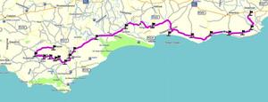
Die antwoord: Draai links af van N2 verby raffinadary, regs by padwerke, links by T. By Stilbaai vra waar is die 'Blombos' pad. Daarvandaan na Vermaaklikheid maar maak 'n draai by Puntjie. Links by teerpad na Witsand. Regs oor pond by malgas en dan verder tot Bredasdorp. Vra daar hoe verder.
Gewapen met so paar name op 'n stukkie papier in my sak is ek daar weg.
WAT 'N WONDERLIKE ROETE.
Van die paaie wat ek gery het is nie op my (2007 weergawe) Mapsource nie. Moes maar raai waar ek was toe ek die kaart opdateer.
Lets GO GO GO.
As I refuelled the previous day in George and was keen to get going I decided to do the minimal preperation. Bought a 'Glovebox Atlas' at the CNA. This was the best detail and size available. (1:1.5million) Basically the whole distance fit in an A5 page on the map. The verdict: almost useless so Ready to go. I did a quick tyre pressure check and lubricated the chain. (Quite dilligent on maintenance - me) Fuel, naaa I will refuel somewhere on the road, can still do about 210km.
The first name on my little scribbled piece of paper was wrong and almost unreadable so I took the wrong turnoff from the N2. This is TAR and I want to be on gravel. U turn and back on the N2. I can only make calls if stopped but can receive while riding (Interphone F4) and by luck the customer phoned me to ask some question. My chance to update my mental map. I am fortunate to have a photographic memory, the only drawback is that the film very seldom develop and this normally (allways) leave me in some predicament. Armed with the correct route I finally turned off the N2.
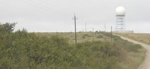
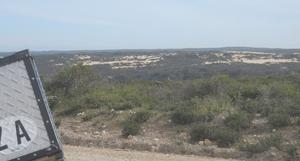
First thing I saw as I turned off the N2
Every time I see one of these 'Sputnik' things it reminds me of the cold war. I soon settled into a nice relaxed speed as everyone at home said 'Jy moet veilig ry, daar is nie 'n backup'. At least I know they either love me and would miss me if I'm gone OR they do not feel like recovering me if something happend.
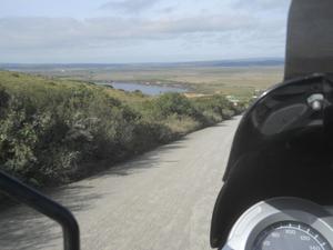
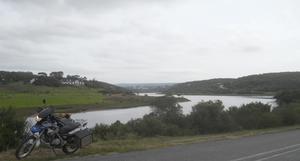
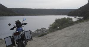
Ek is maar stadig om te reageer en onthou nie juis so mooi nie. Die plekke waar ek was en name van dit wat ek gesien het nie. Aan die linkerkant is daar 'n moerse dam. Ek kon nie op enige van my kaarte die naam kry nie so ons volstaan maar by 'Moerse Dam'. Hoop daar is vis daarin, dan kan ek later teruggaan en gaan visvang.
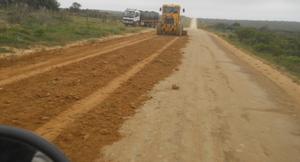
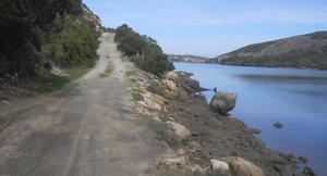
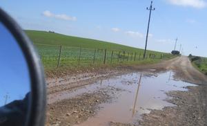
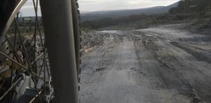
Lots of roadworks and the loose gravel made for interesting riding.
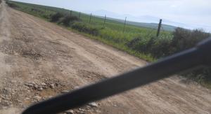
The winter rains did its best to help making potholes and other 'wear items' in the road. There was road works everywhere. This resulted in enough loose klippertjies to keep me awake and to concentrate. Taking pictures while riding require a bit more concentration. Sometimes I could not decide wheter to ride on the old surface or the freshly graded side. The ridge left by the grader required some planning to cross. I came across the 'proper' roadworks (as per my scribbled piece of paper) and turned right. The road cross the Gourits river via a narrow low water bridge. A short while later I reached the R325 and carried straight on untill it turned back onto the gravel. Maybe I could go more south and ride west along the coast. It seems as if there are roads out there but could also be 'gated' for the Grouniqua Nature reserve. From here it was gravel past Orca nature reserve, a small settlement and on to the R305 to Still Bay.
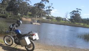
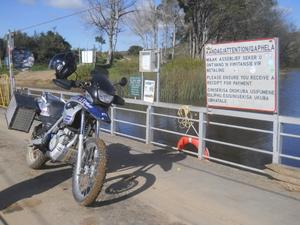
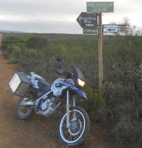
Original ferry between Stilbaai east and west
Behind the bike is a sign that indicate the place of a ferry to cross the river. Unfortunately the hooligans painted all sorts of obcene stuff that made me 'hide' it. I rode on to the end of the road in Still Bay East and then back over the bridge to the west. At this stage I had to make a discision on fuel and food. I guess it was now about 11:00. Naaa, just ask how to get to Blombos and Vermaaklikheid and off I went. Straight with the tar, turn right at the stop past the cemetry, carry on untill jou see the turn off to the right.
About 11:10 and the clouds start rolling in from the west
A few kms outside Still Bay I turned right off the tar and headed for Blombos. I cant remember that I saw it on the road but eventually I reached the T jubction and turned left towards Puntjie. The roads was smooth and I could enjoy the scenery. Some clouds appeared to the west but it did not look too bad.
Entrance to Puntjie. Lekker los klippies op die pad.
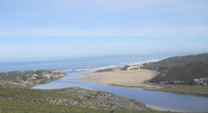
Lekker los klippies op die afdraende na Puntjie. Dit is die mond van die Duiwenkoksrivier. Wat is hier om te sien wonder ek so bymyself. Ooo ja by die hek moet ek regs draai. Van hier af is regs net bossies en sandduine daar in die verte.
By die hek gekom lyk dit redelik mooi en ek verwonder my aan wat die mens sal doen vir vakansie.
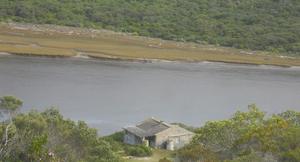
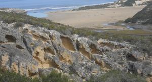
Regs gaan 'n klein tweespoor paadjie as na die rivier. dit is op sekere plekke so steil dat dit met sement opgevul is. Hier hou mense al van lank gelede al af vakansie. die huis is amper net so oud soos die erosie langs die pad.
Uit enindelik is ek onder by die rivier. Ek hoop die pad kom by 'n brug uit sodat ek wes kan gaan. Aaikona, dit loop dood by 'n hek na 'n merske groot vakansiehuis in die verte.
Dead end at majestic farmhouse
Komerants en die pad terug in die spieel
Na so 'n rukkie se rus en kyk hoe die Komerante in die son bak is ek die steil bult weer uit. dis toe eintlik nie so erg nie.
So steil dat daar 'n stuk sement pad is om bo te kom.
Terug tot by die T aansluiting en verder na Vermaaklikheid.
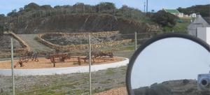
Vermaaklikheid (Wat is die storie agter die naam?)
It is interesting to see what people wll do (or not do) to brighten up their place. A lot of effort went into creating this 'outdoor exhibition' area. I do not know what is on the terrace in the background but it was a stunning break in the otherwise beautifull scenery.
Hier iewers het die brandstof liggie aangekom. Ek kan nie presies onthou waar nie maar het geweet, nou is dit mooi ry want ek weet nie waar ek is of hoe ver daar brandstof is nie.
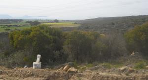
At last, some color and the distance from or to somewhere.
Die eerste landerye is in sig en ek is 36km van iewers af. Ek kan nie dink dat ek enigie ander mylpale tot hier en selfs hiervandaan verder gesien het nie.
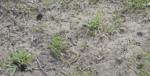
Die bokkie (links) en die kat (regs) het seker lekker gesels terwyl hulle so loop.
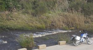
I had to stop for a leak and this river crossing was the chosen place. I walked over to the water measure thing and saw the antelope and cat like tracks heading in the same direction. Then the childhood stories started to run away with me, was this perhaps GATO and his friend, no the friend was a fox or jackal. In any case I hope they had a wonderfull discussion as they walked along the river bank.
I climbed up the weter meter tower and absorbed the beauty of all around me. I was worried as I heard a truck approaching and hoped that there was enough space on the bridge for him to pass. Just heard the driver said "O daar is hy" as they went past the lonely bike.
Now entering Blue Crane territory.
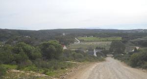
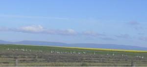
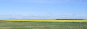
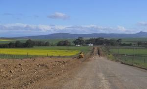
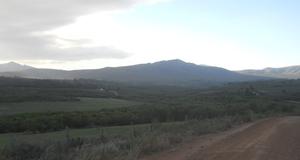
If you look at Google earth it is amazing how the landscape changed. I was now in the weat/canola area. Everywhere you saw Blue cranes, wheat or canola fields in full bloom.
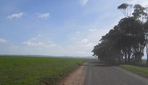
700 meters of tar and off on gravel again. This is going through the farms.
I reached the R322 to Witsand and turned left. After about 500 odd meters I saw a gravel road to the right. that is the way to Malgas. I seriously had to make a discision where to refuel. Looking at my map I decided that at this speed I would go much further than the normal 50km on reserve. Malgas here we come. This was a brilliant choice as the roads passed through farms and fields, and I was heading in the correct general direction.
Abandoned homestead. Must have been a mansion.
I passed many ruins on my way, most was just a herder's house or a kraal or som other building. In front of me was a once majestic farmhouse with a thatch roof. This is now only walls. It was not destroyed by fire because there is no black soot and some roof trusses is still intact. Maybe the farm was sold to the neighbour and the house was not maintained. I will defnetly ride this road again and ask about this farm.
The aftermath of the recent rains
the farmers maintain the road themselves (up to a point) to save the wear and tearon their vehicles. Whenever the potholes gets to bad a tractor and trailer with gravel is sent out to fill the holes. Although I had to watch for sharp stones it was a nice job.
The farmers maintained the road themselves.
I was nou slowly getting concerned about the fuel level and availability. I stopped a farm worker on a tractor and asked about the shortest route to Malgas or other petrol station. Witsand might be closer but I do not wan to do the tar. He told me to go back a few hundred meters and take the road to the west at the cross. How far is Malgas from here? About halve an hour's drive. Ok that could mean anything as on a tractor, a truck or car. I hedged my bets and took the 'shortcut'.
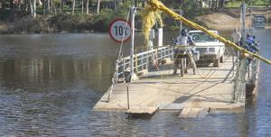
Malgas Ferry. I was about 30 seconds to late for this crossing.
I safely arrived at the Malgas ferry just to see it about 5 meters off the bank. after a nice relaxing break it returned.
Coincidence. Another bike. He was in a hurry as the bike was already idling even before the ferry reached the bank.
Rates, rules, regulations and list of blacklisted cars.
I eventually rode on and enjoyed the chat with the staff pulling the ferry across. Fortunately the Malgas hotel is just on the other side of the river with fuel and food. After I refuelled a went for a nice pub lunch and something to drink. It was after 2 o clock when I walked back to the bike to tackle the last gravel stretch home. Unfortunately ther was not enough signal to plan the route from Bredasdorp to Caledon on google. I again had to rely on memory for this section. I know the moutain ranges will block me somewhere but I could get back in the N2 a few kilometers before Caledon.
The road to Bredasdorp was nice and un-eventfull except for the roadworks. I left Bredasdorp on the road towards Elim but my will to go gravel took the upper hand and I turned right towards Blomkloof. Where this will lead me I dont know, at least it is going west.
I dont know where I am but heading west.
More deserted and clouds forming
Moes party plekke versigtig ry vir modder ens.
Weer op 'n groter pad. Ek draai regs en gaan terug Napier toe.
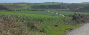
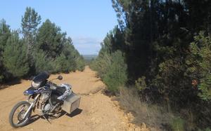
The road was a revelation. I passed through forestry sections and a little sawmill and passed lush farmhouses. There was streams and mud, sand and clay. Nowhere was there any tricky bits and I could enjoy the scenery around me. Ok, I eventually reached a 'bigger' road. I am pointing due west and had to decide, will South (left) take me to Elim or North (right) ultimately to Stanford. Lets go right.
Nou draai ek weer OOS en die wolke raak erger in die weste.
Although this was the 'wrong' choice the road was beutiful and I saw the firs trafic since I left Bredasdorp. The further I rode the more the road turned east untill I was pointing due East again. This is not the way I want to go. I contemplated asking anyone I passed but miraciously there was not a single soul. At least the road is well used so it will lead to some civilisation.
To my horror I entered Napier. This was not near where I planned to get on tar. After I enjoyed a cooldrink I decided to head directly home via tar. The clouds are slowly building in the west and I hate riding at night.
As I approached Caledon the weather started to change fast. The general direction towards Cape Town was now fully overcast with dark clouds. As soon as I stopped at the first garage for fuel it started to rain, not light rain, heavy rain. A call home confirmed my suspicion, it is going to be a WET ride home. I dressed up with the yellow canary suit and made sure the camera and laptop will not get wet. At this stage it was getting dark fast due to the cloud cover.
Needless to say I rode in rain all the way to Somerset West but did not get wet. The el cheapo rainsuit did its job. With visibility low due to the lights from oncoming traffic and the fog on the inside of the visor it was one of my worst section ever. I just hooked up about 20m behind a car and sat it out. Rather easy going than not going at all.
Tot die volgende trip.
Adie
- 4455 reads

