4 days, 10 Eastern Cape dirt passes - Day 1

Touring and discovering new parts of our country took on a completely new dimension when I started riding off-road with a motorbike many years ago. Once you start riding off-road, it is like seeing our country through a magnifying glass instead of through binoculars.
I spent my entire youth in the Eastern Cape, and was fortunate enough to live on a farm.
Part of life on a farm entails traveling all over the district and to neighbouring towns for matters related to the farm. Through the years you get to know those roads, landmarks and areas quite well. You even tend to believe that you have seen and know all there is in the area.
But...
The regular feature of mountain passes by Trigve Roberts made me realise that I grew up within an hour’s drive from many many of these passes without knowing about them! My bucket list was filling up very quickly!
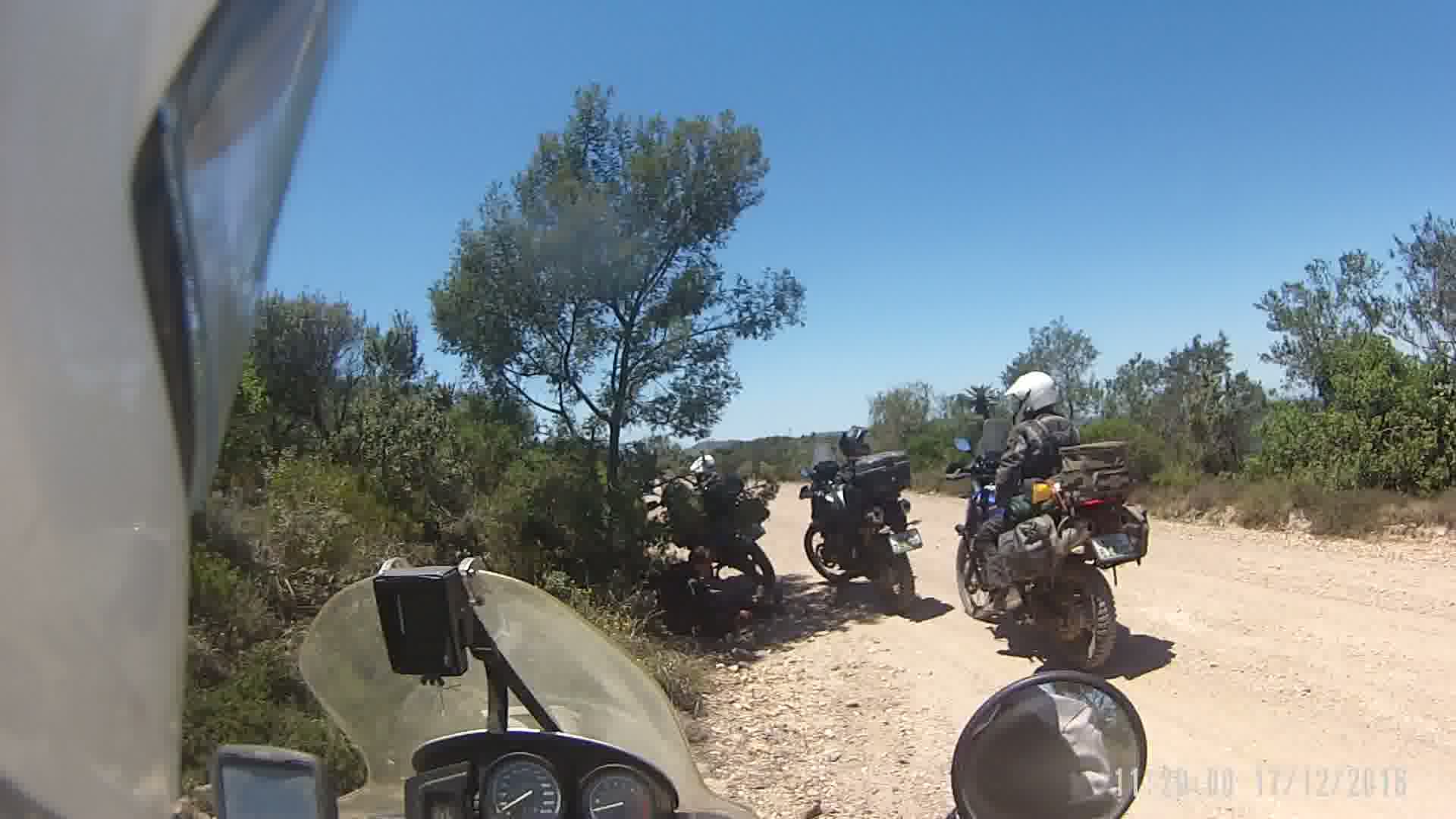
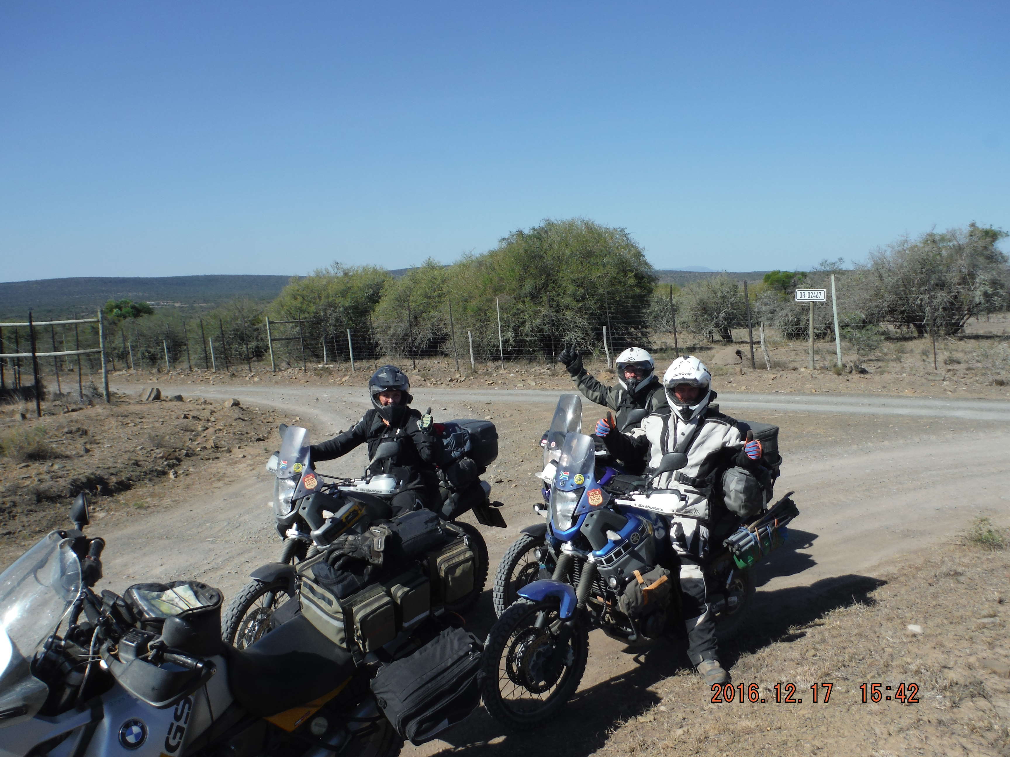
During December’16 I had a chance to go and see as many of those dirt passes as I could fit into the four days I had available. It took a lot of planning to find a route that included as many passes as possible and also keeping the daily distance below 300km. The number of riders changed continuously, eventually we were four. Myself on the 1150 and three young people from Patensie (Geo from last year’s Doringrivier trip, his brother Jaco and Irma, Jaco’s fiancé) all on Tenere 660s.
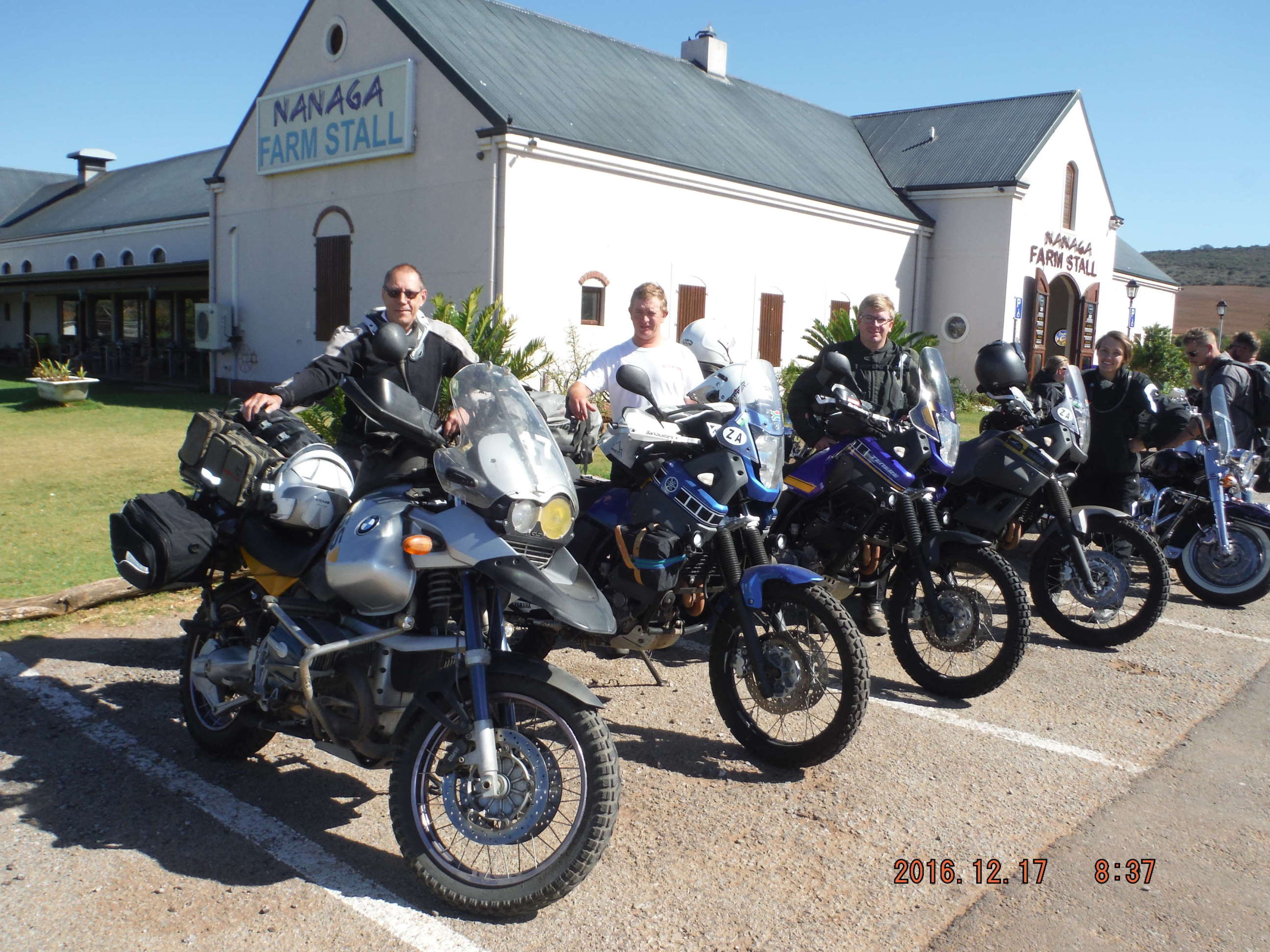
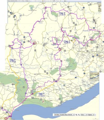
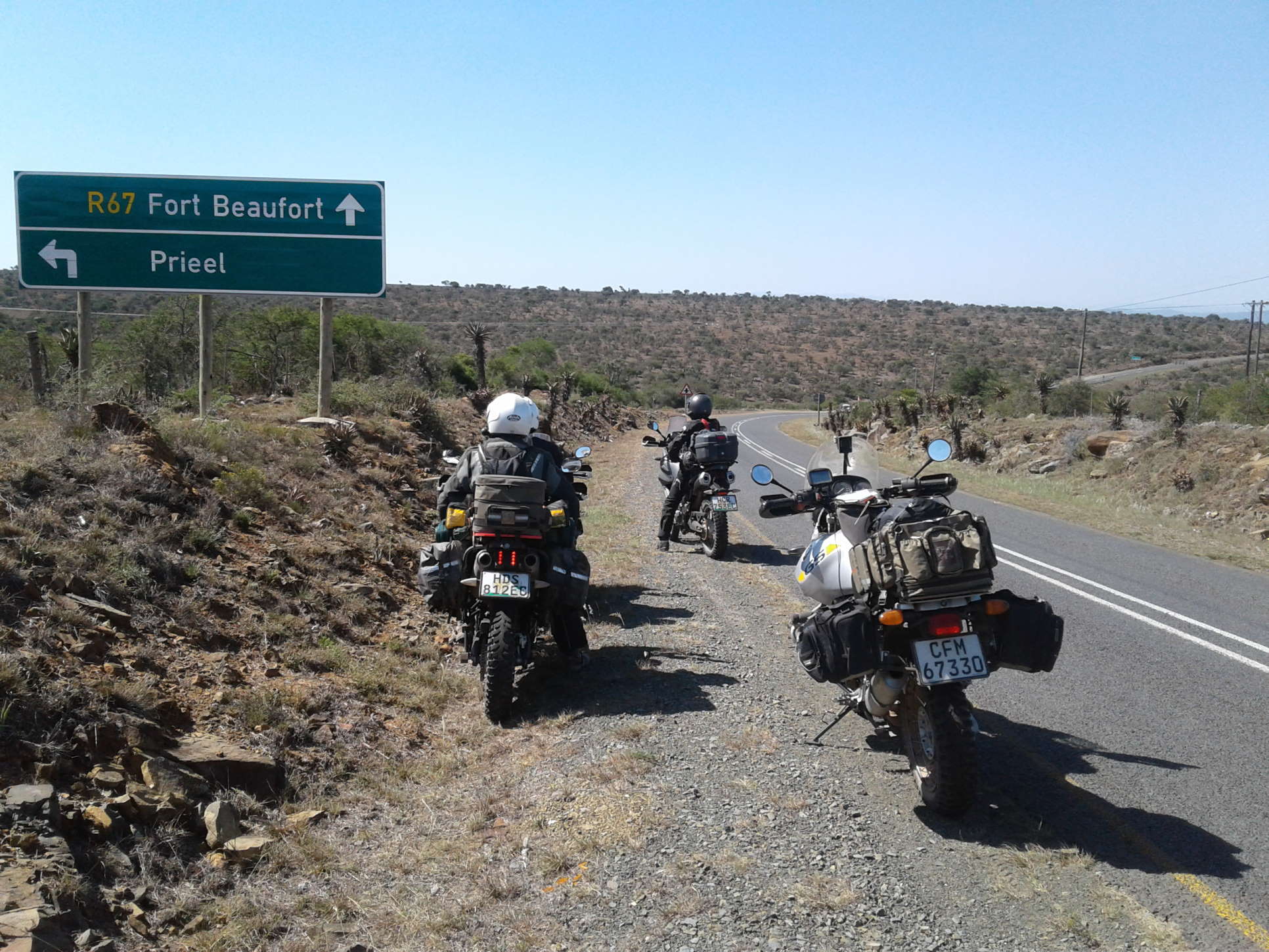
The tour started in PE, with sleepovers in Fort Beaufort, Gubu dam and Bedford. The first day took us through Shamwari Game reserve to Grahamstown. Then R67 via Ecca pass (tar) and Smaldeel (dirt detour) to Fort Beaufort.
Day 2 we travelled through Katrivier Valley, Fullershoek pass, Blinkwater pass, Katberg pass, Seymour, Michels pass, Hogsback, Wolfrivier pass and Dontsa pass to our camping site at the Gubu dam.
Day 3 from Gubu dam to Bedford via Keiskammahoek, Cathcart, Whittlesea, De Beers pass and Wienandsnek. (On this route we travelled through another two unnamed passes)
Day 4 from Bedford to PE via Cookhouse, Slagtersnek pass, Waainek pass (what a special treat was this pass!) and Somerset East. Then all tar to PE.
Map of the complete trip:
Map of Day 1
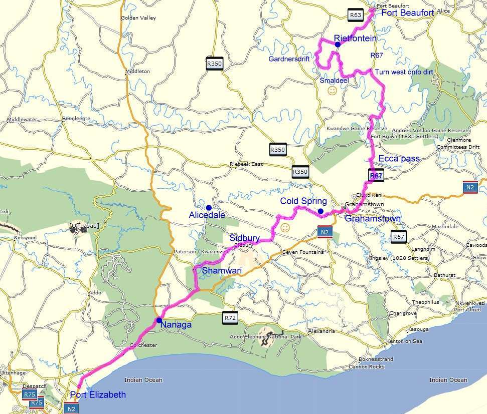
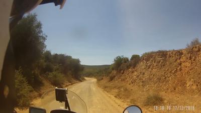
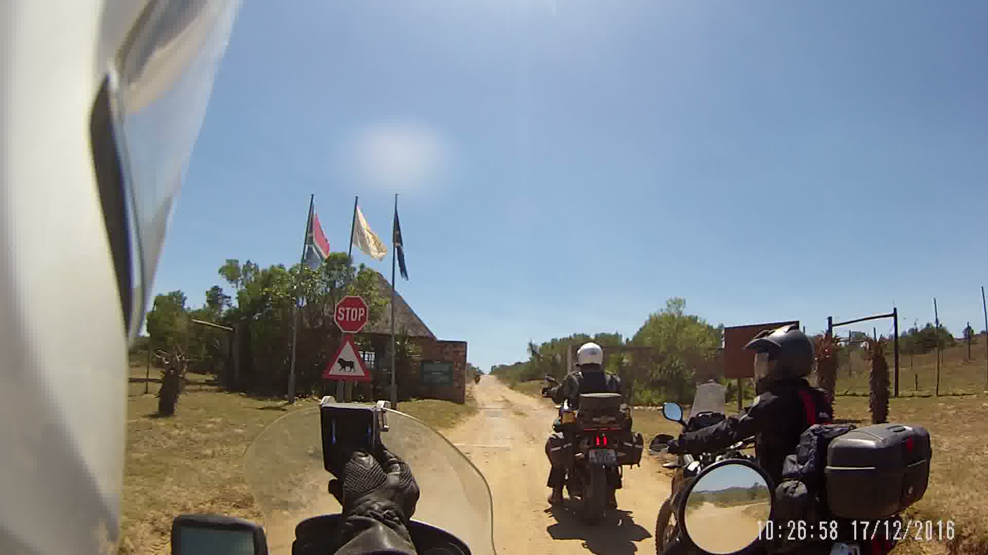
The route on Day 1 included more dirt road than we had originally planned. We started four hours earlier than planned from PE, so we decided to do some dirt roads north of the N2. We had breakfast at Nanagga, then a bit tar (~15km) on the N2 to the turn-off north onto R342. After about six km on the R342 we saw the Shamwari entrance and decided to ask permission to drive through towards Sidwell, Highlands and Grahamstown. Permission granted and off we went.
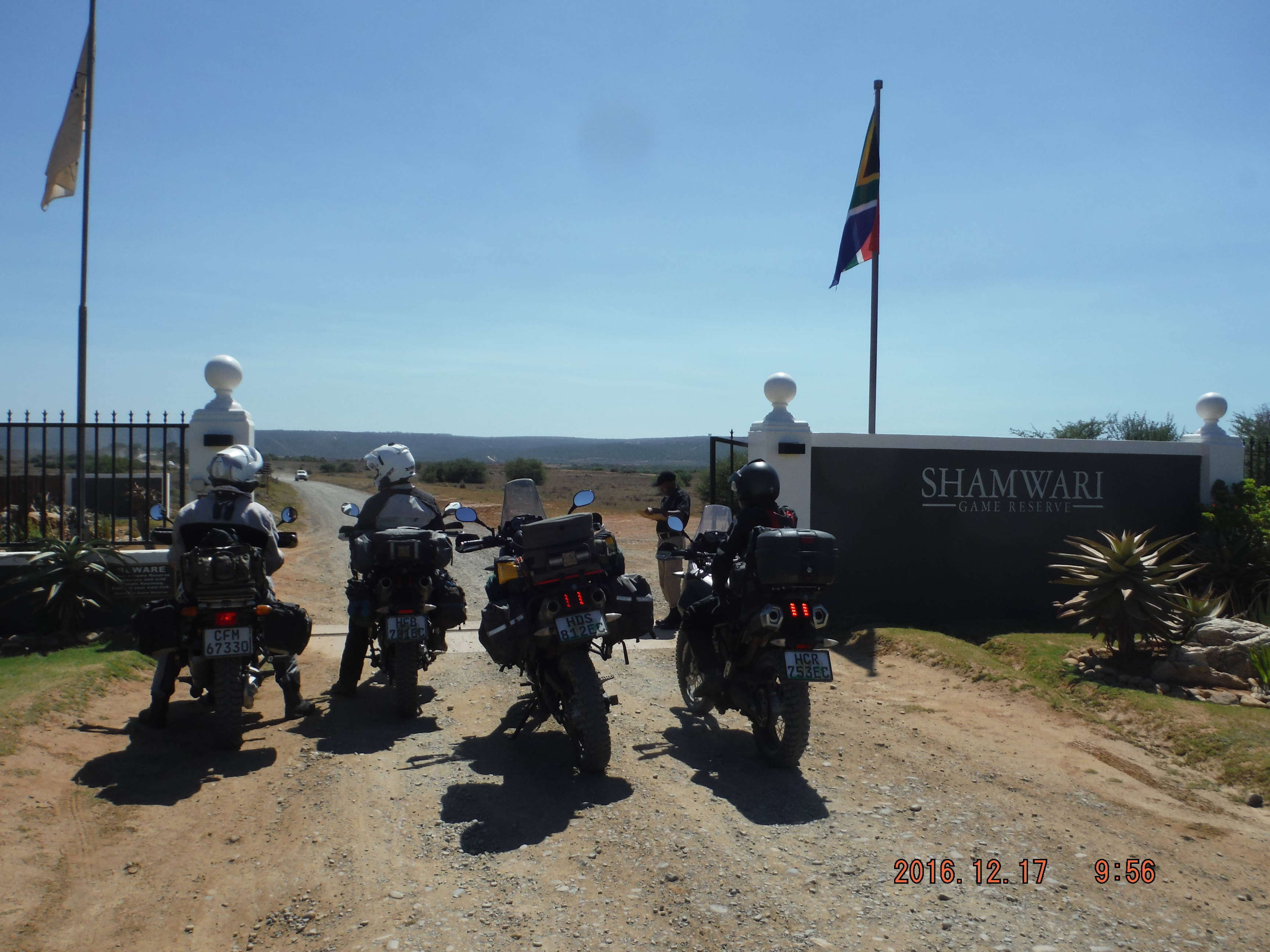
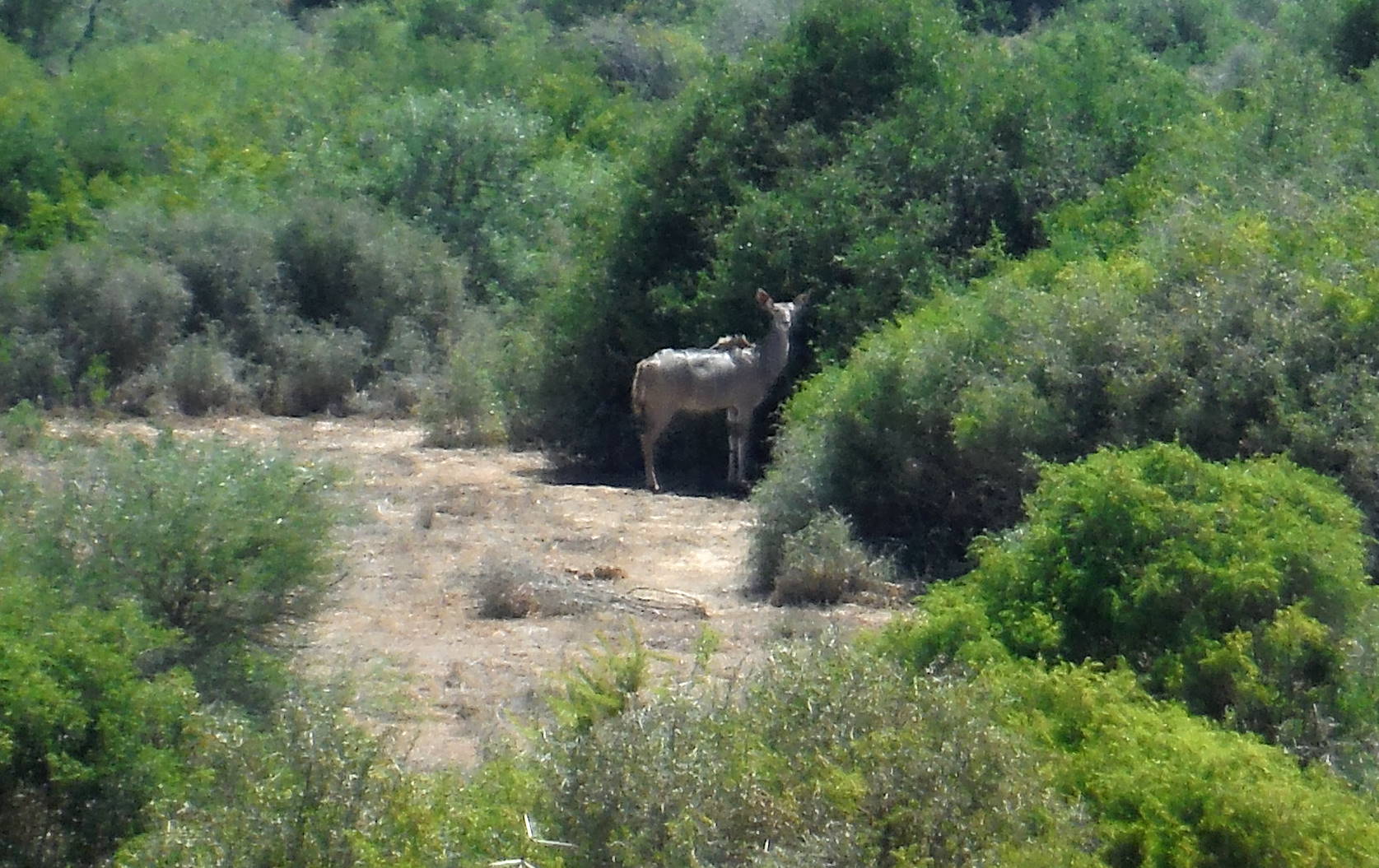
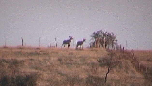
Very soon we saw some kudu, warthogs and springbok. Although the trees and bushes appeared quite green and lush, the grazing was very short and dry. Clearly the drought has taken its toll.
The day was very hot and we stopped whenever we came across some shade.
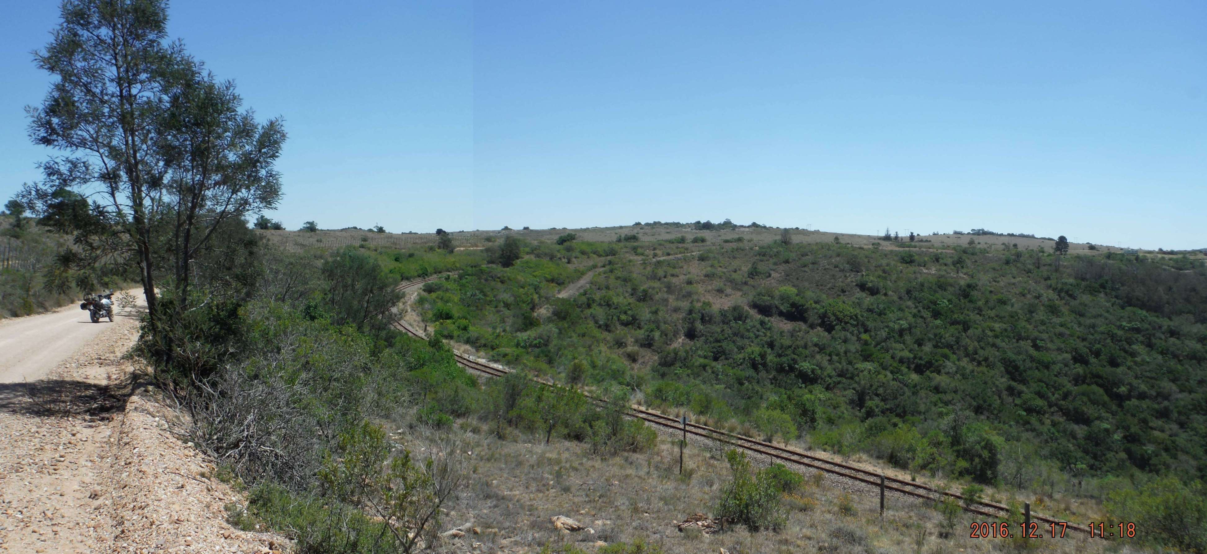
A good dirt road took us out the other side and past some smaller private game reserves (no animals seen), past Sidbury and the Highlands rail siding.
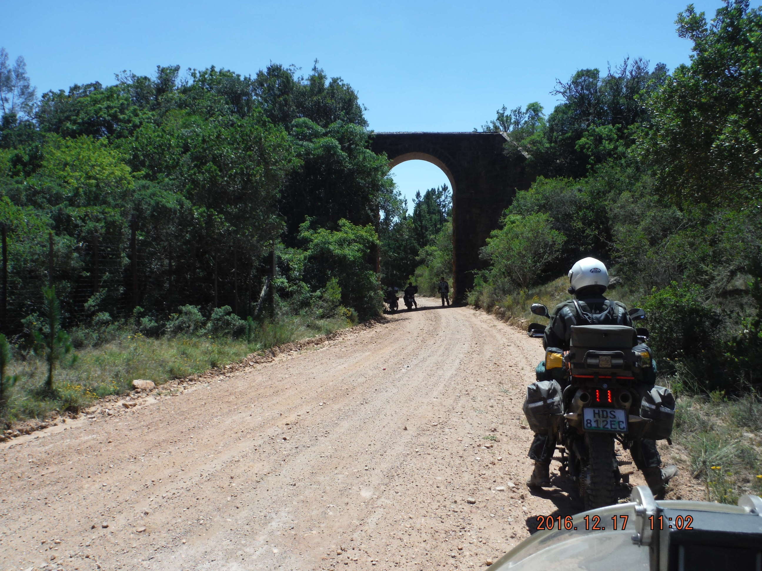
Close to the Highlands siding (26km short of Grahamstown) we saw a majestic stone bridge that takes the railway line over the road. This railway was built in the early 1930’s as part of the DeAar-PE rail network.
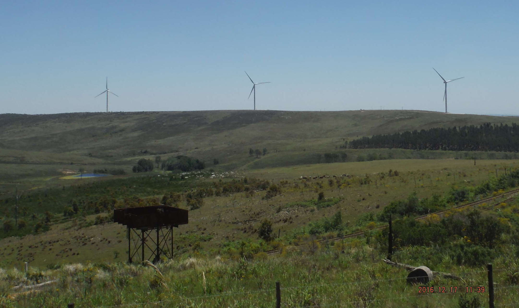
Near the Cold Spring siding close to Grahamstown, I noticed a lone steel water tank alongside the railway line, rusted and abandoned --- against the backdrop of three modern wind generators.
In Grahamstad het ons lekker te ete en te drinke gehad, en ook vleis en drinkgoed gekoop vir die aand se braai.
Grahamstad is ‘n mooi dorp met aantreklike geboue
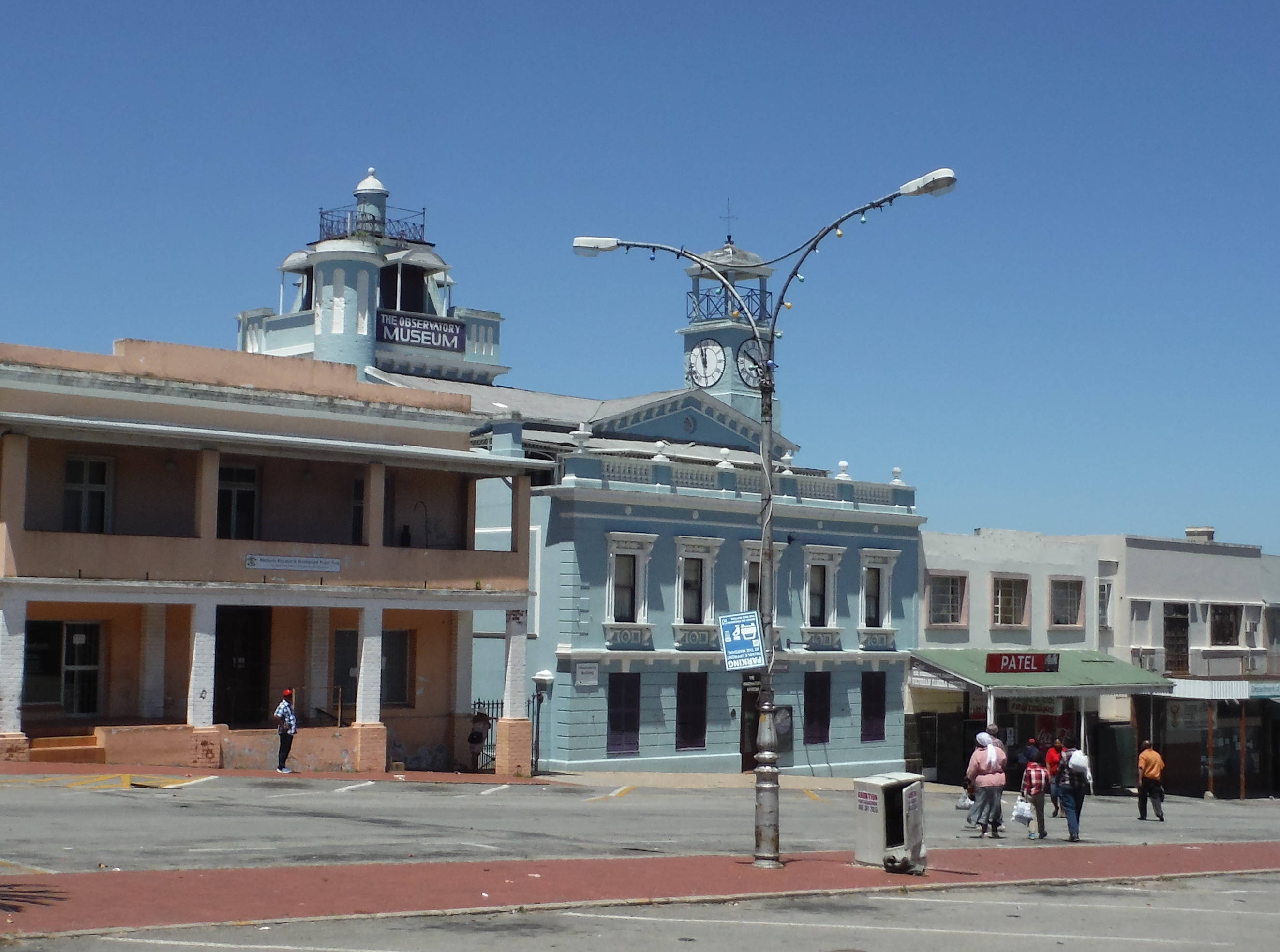
The Observatory Museum dates from 1820. In the tower above the building is the only Camera Obscura in the southern hemisphere. It basically is a mirror that works something like a periscope and projects the outside view onto a panel on a table inside the building.
Nogal indrukwekkend!
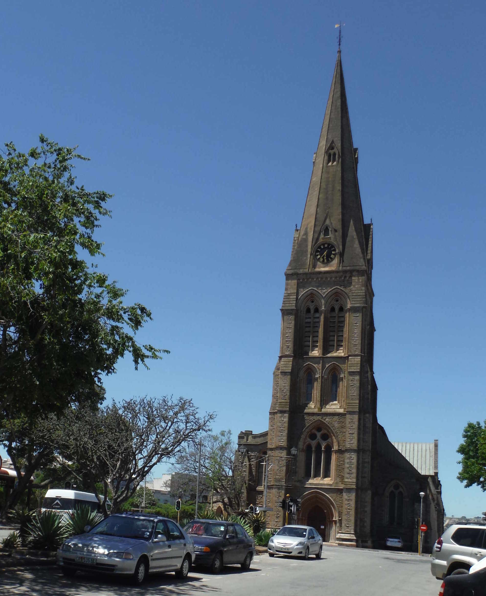
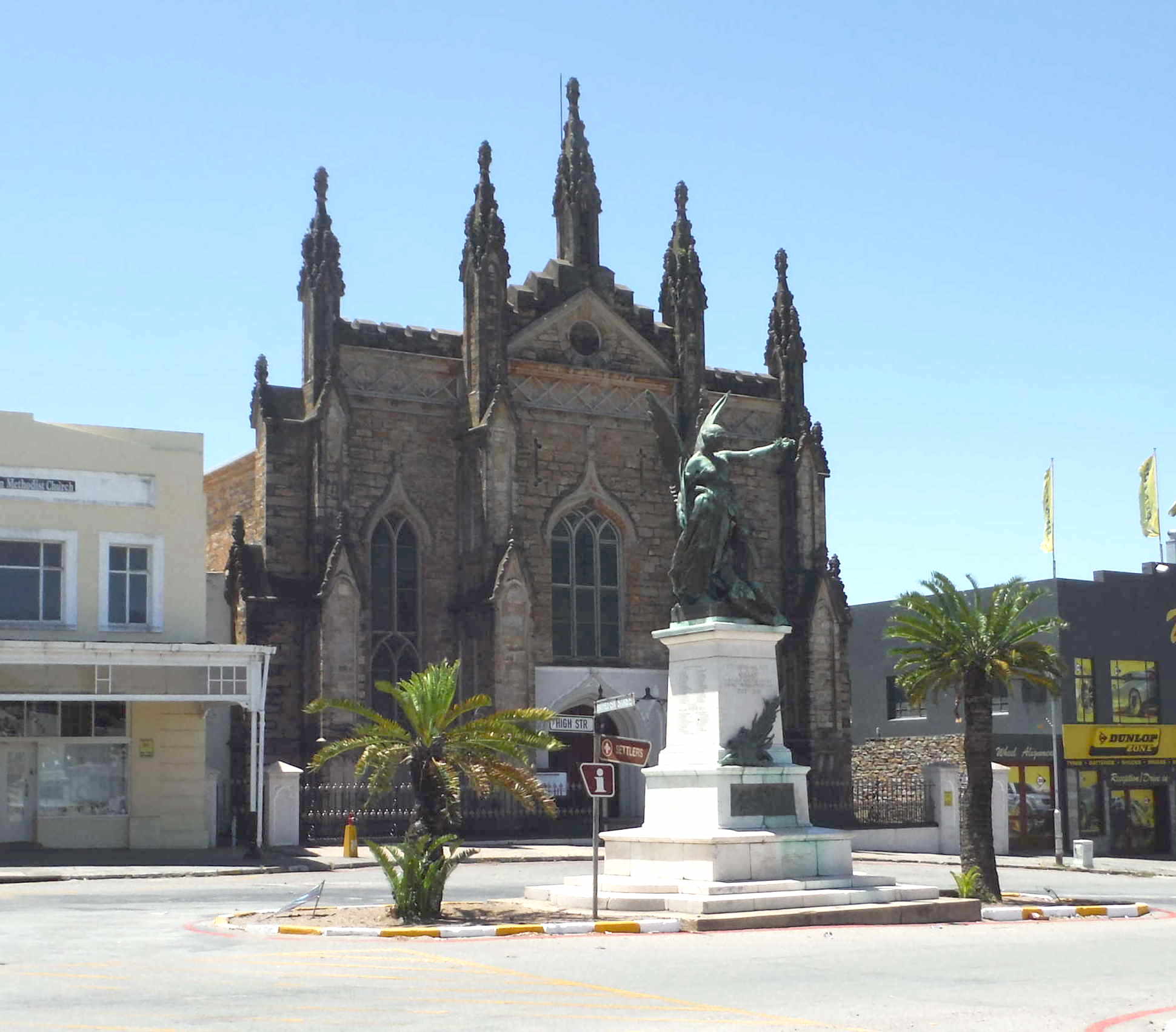
Above: The majestic Grahamstown Cathedral was inaugurated in 1952
Below: The Statue of Peace (Winged angel presiding over a soldier that died in the SA 1899-1902 war) in front of the Commemoration Church (1850)
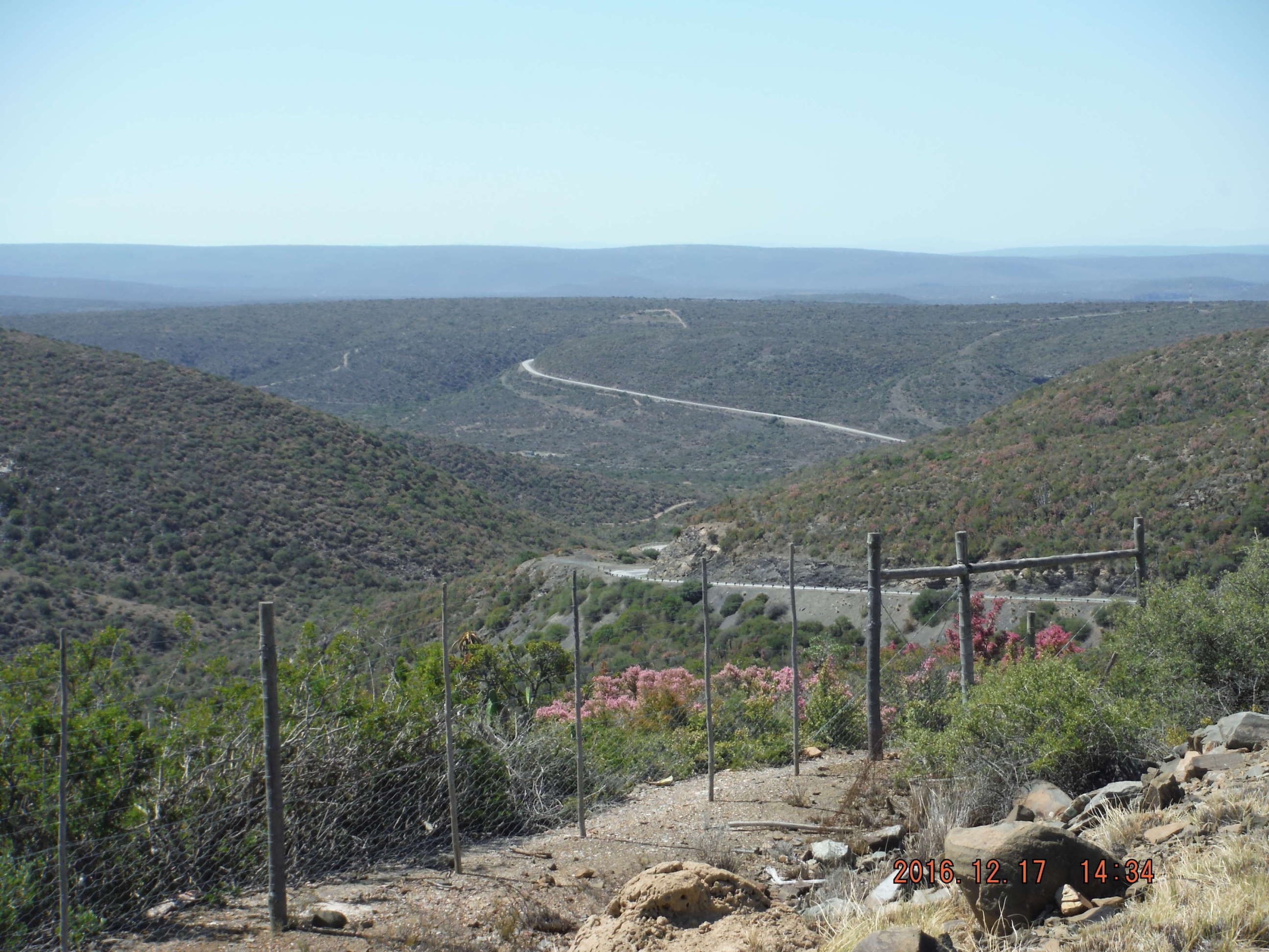
Hiervandaan teerpad op die R67 tot by die afdraai na Smaldeel/Gardenersdrift. Ons het deur die Eccapas gery, wat altyd ‘n groot plesier is met sy baie draaie en mooi uitsigte.
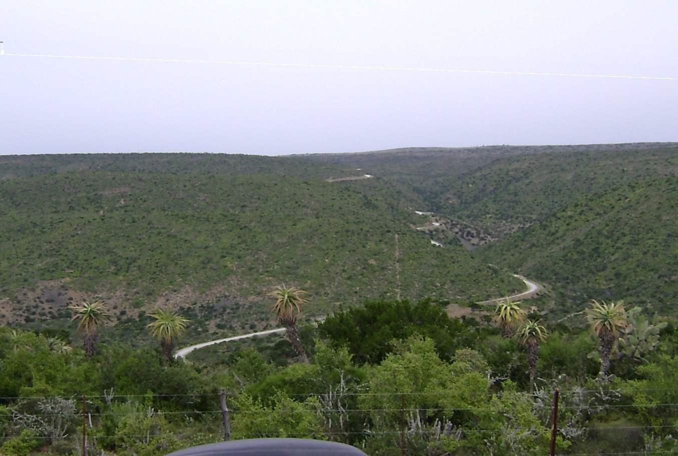
Kyk net daardie draaie! Grahamstad is anderkant die horison. I am very sure that if this pass was close to Cape Town, we would see more weekend m'bikes on this pass than on Franschoek pass or Clarence drive.
Op die foto onder kan mens daar oorkant die nuwe (~1960) teer pas sien en ‘n entjie onderkant hom die merke van die ou Queens’s Pass (Andrew Geddes Bain, 1837).
Die Smaldeel afdraai is waar vir my die ou bekende paaie begin.
Deesdae word die ingange beman met ‘n valboom weens die grootskaalse veediefstal.
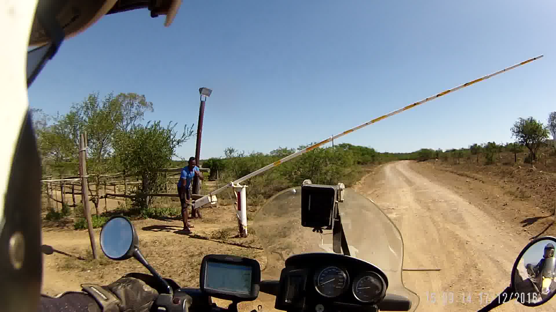
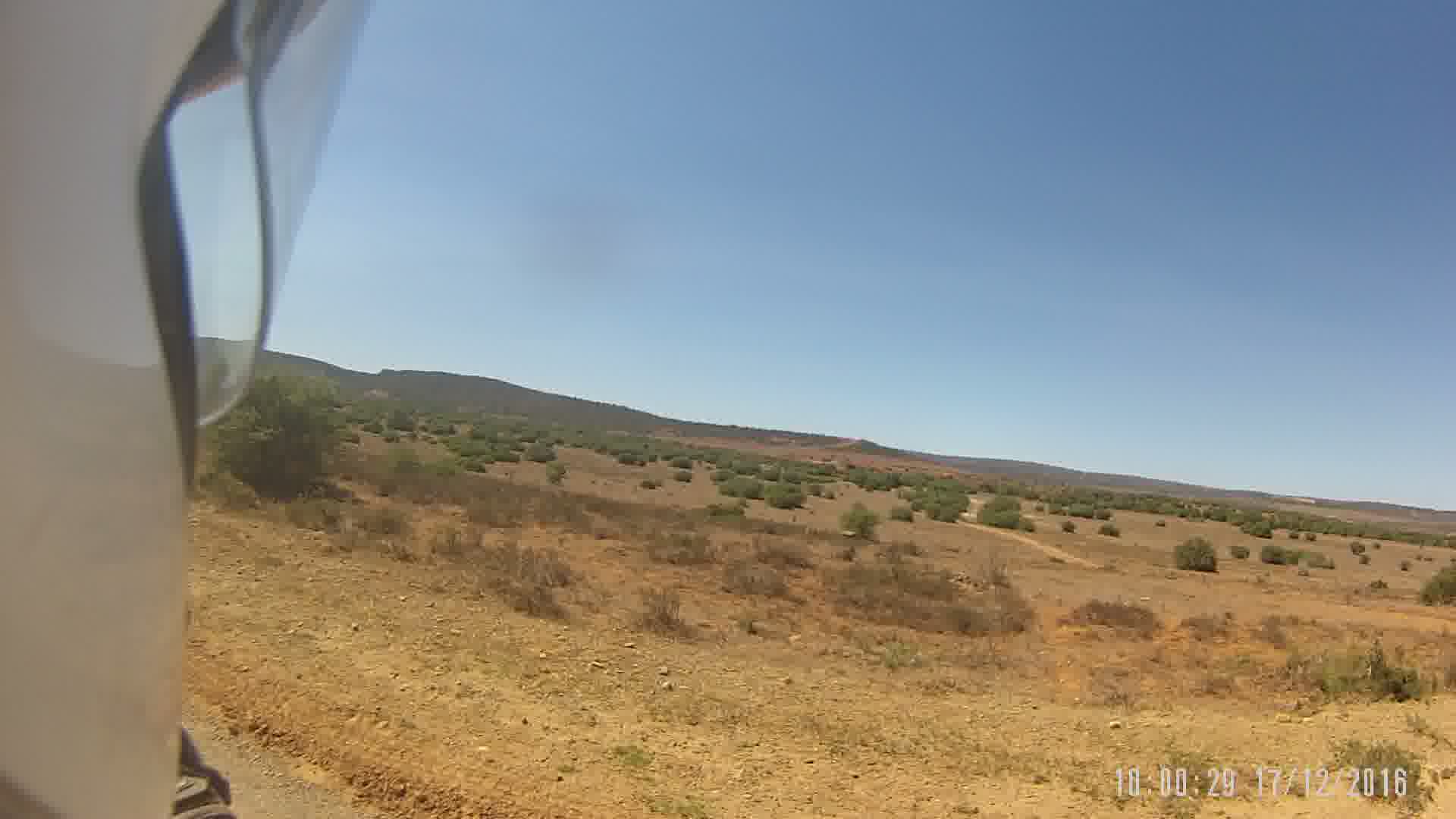
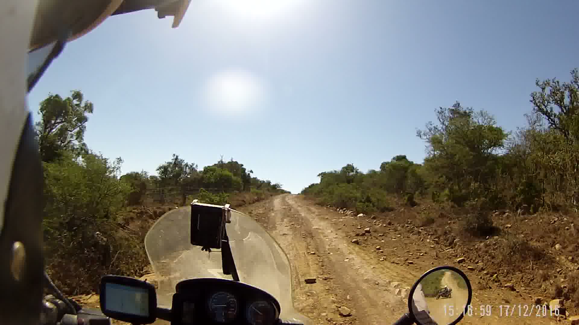
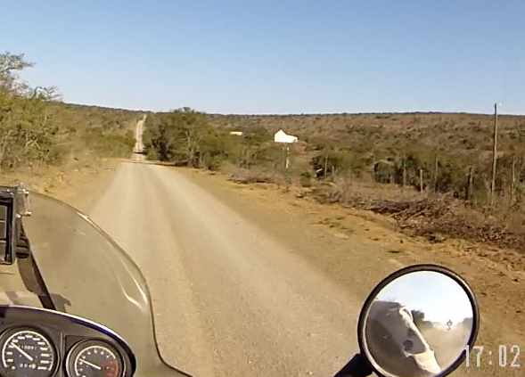
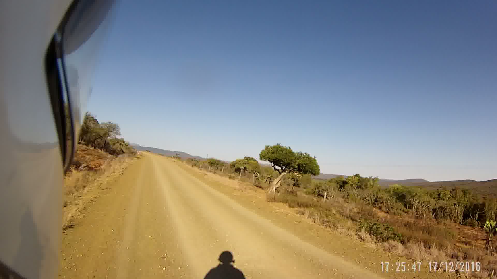
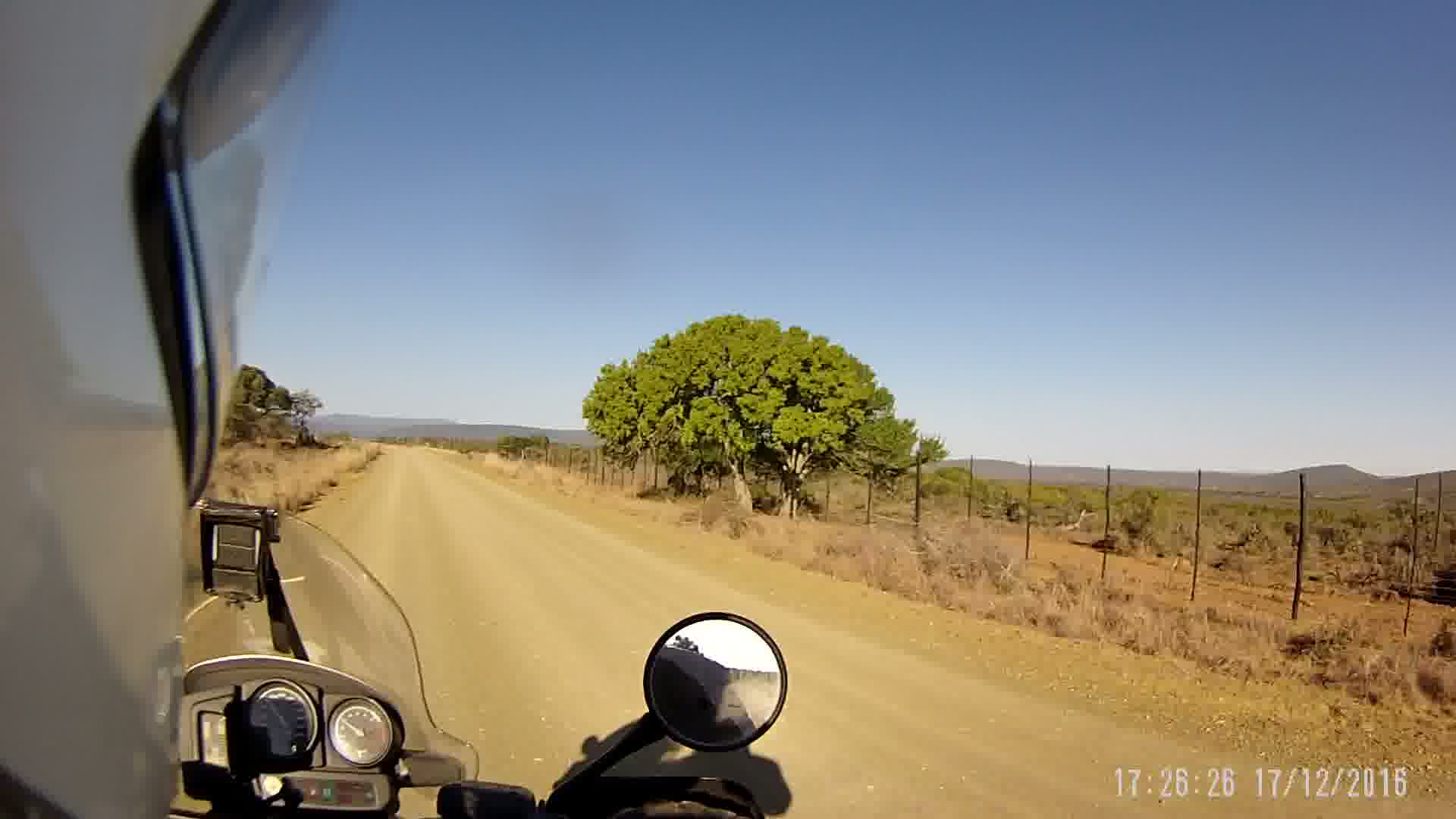
A winding and often bit rough tweespoor took us past the Windsor farm, Koedoeskloof, LaMotte, Vlaknek, the Koonap river, Sewefontein and Driefontein to Rietfontein (where I grew up).
While savouring old pleasant memories of the farm, I gave my friends a quick brief about the farm.
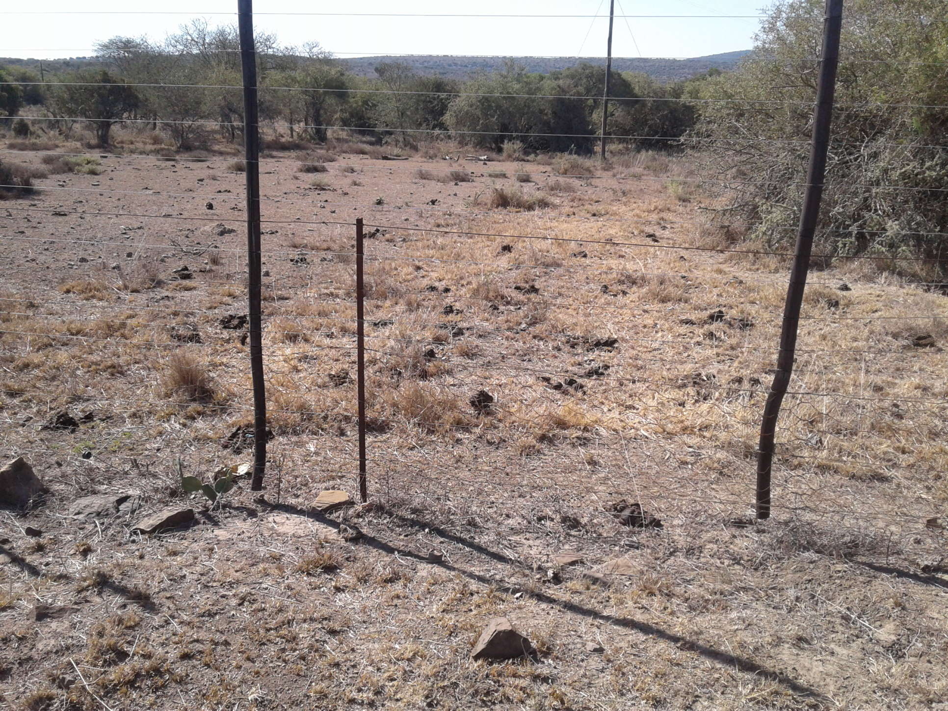
Rietfontein has been turned into a game farm, like many in the area. A major contributing factor is the stock theft of sheep and cattle. Game cannot be herded or caught like the traditional live stock.
At this particular spot are two of the traditional routes that the kudu used to flee into the neighbouring farm to escape when they notice hunters on Rietfontein. Now they are blocked by high fences, like all along the border of the farm (and all over the Eastern Cape).
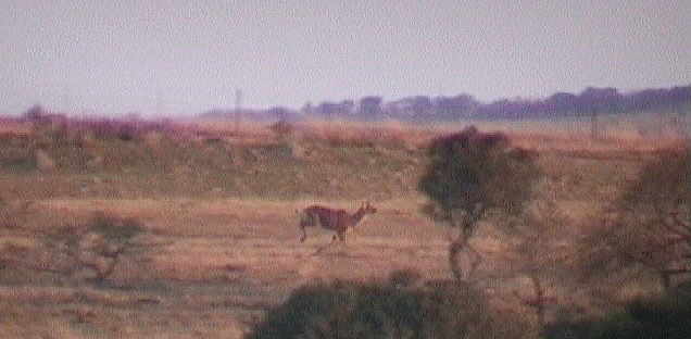
Sad to see the effect of the exceptional drought, apparently the worst since 1983. I believe the game farmers are starting to put out feed for the game as well, especially the larger game like kudu.
From here northwards on the Gardnersdrift road past more farms, amongst other the Greeff farm where the late Hennie Greef started to mix and sell the well-known Woodoc “Food for Wood”.
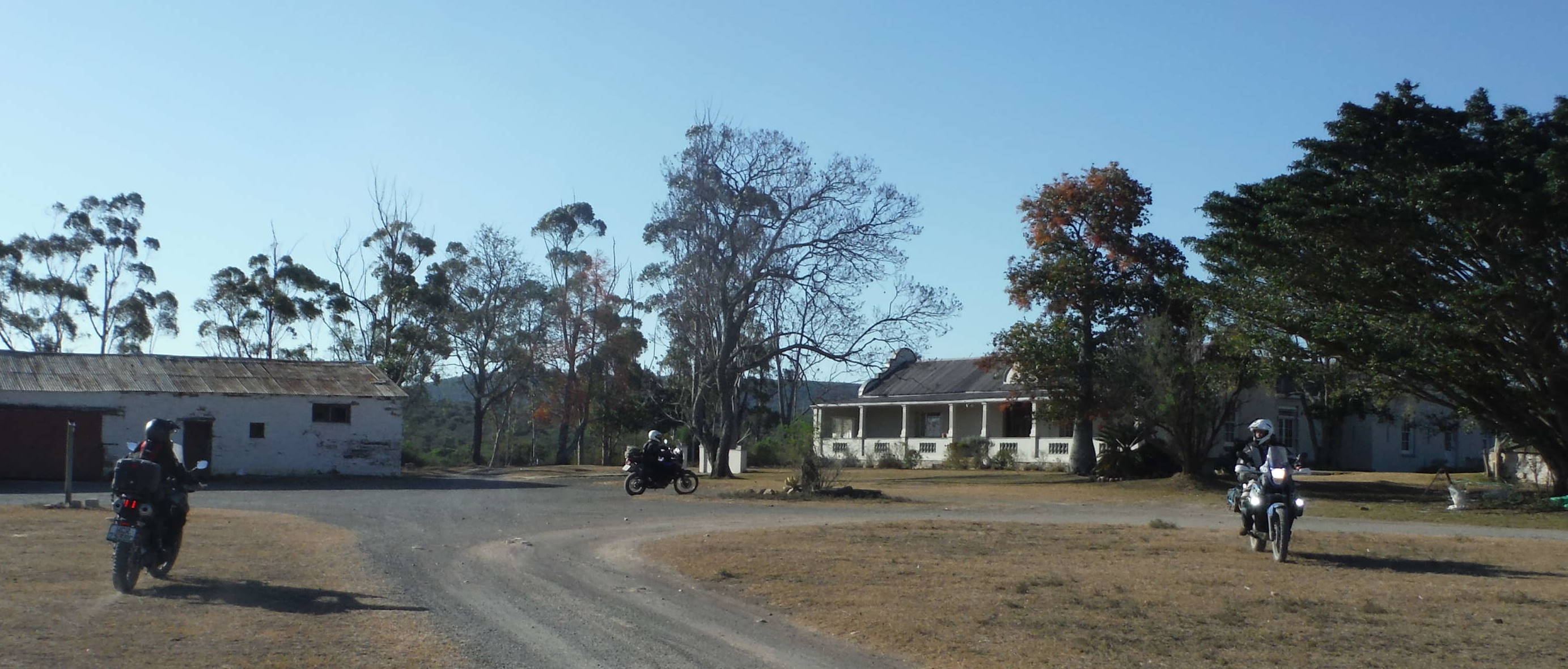
Volgende stop Smitskraal, my neef se plaas. Great om hulle weer te sien na al die jare. Die werf lyk goed, met al die groot bome. Dit was baie warm en ons het baie van die plaas se water uitgedrink!
Van hier af 5km met ‘n direkte pad na Rietfontein se werf, verby die “Sondokollo” huisie (as kinders was ons bang dis ‘n spookhuis!)
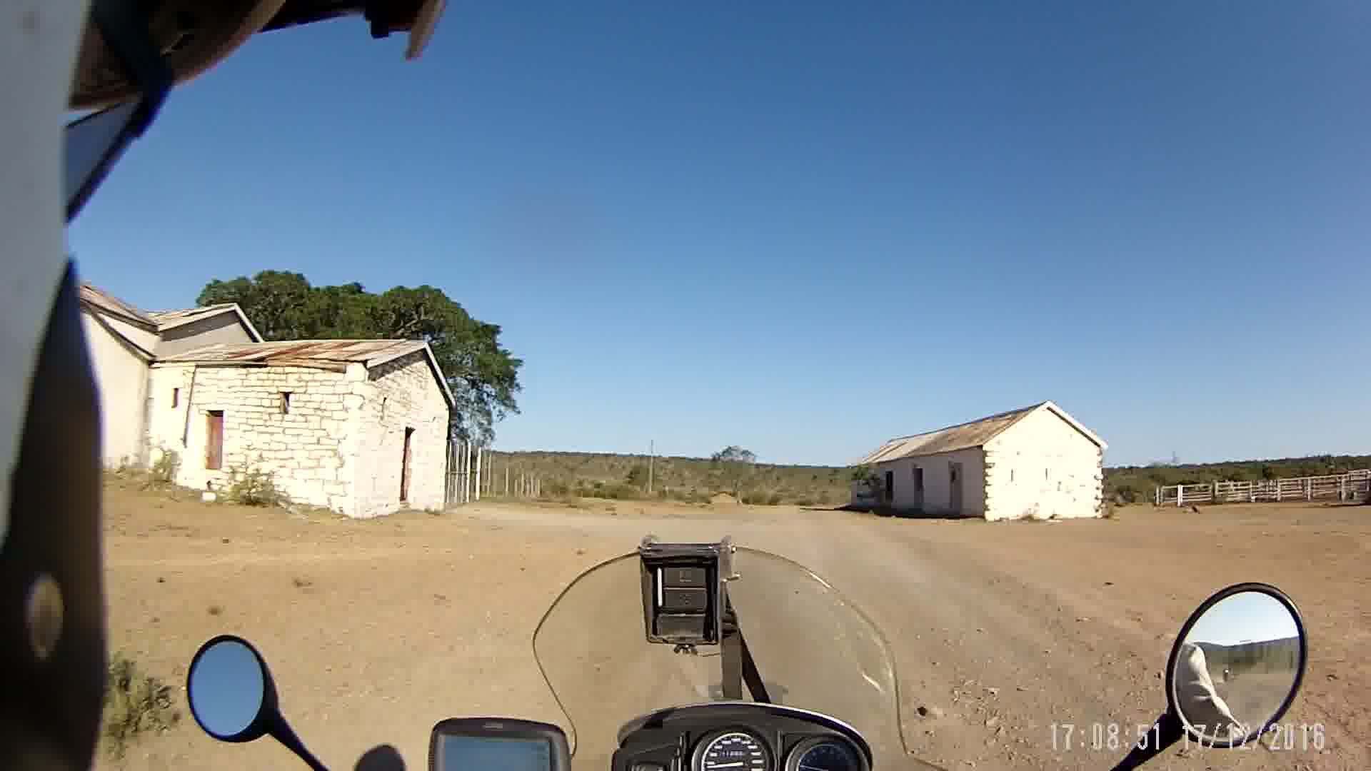
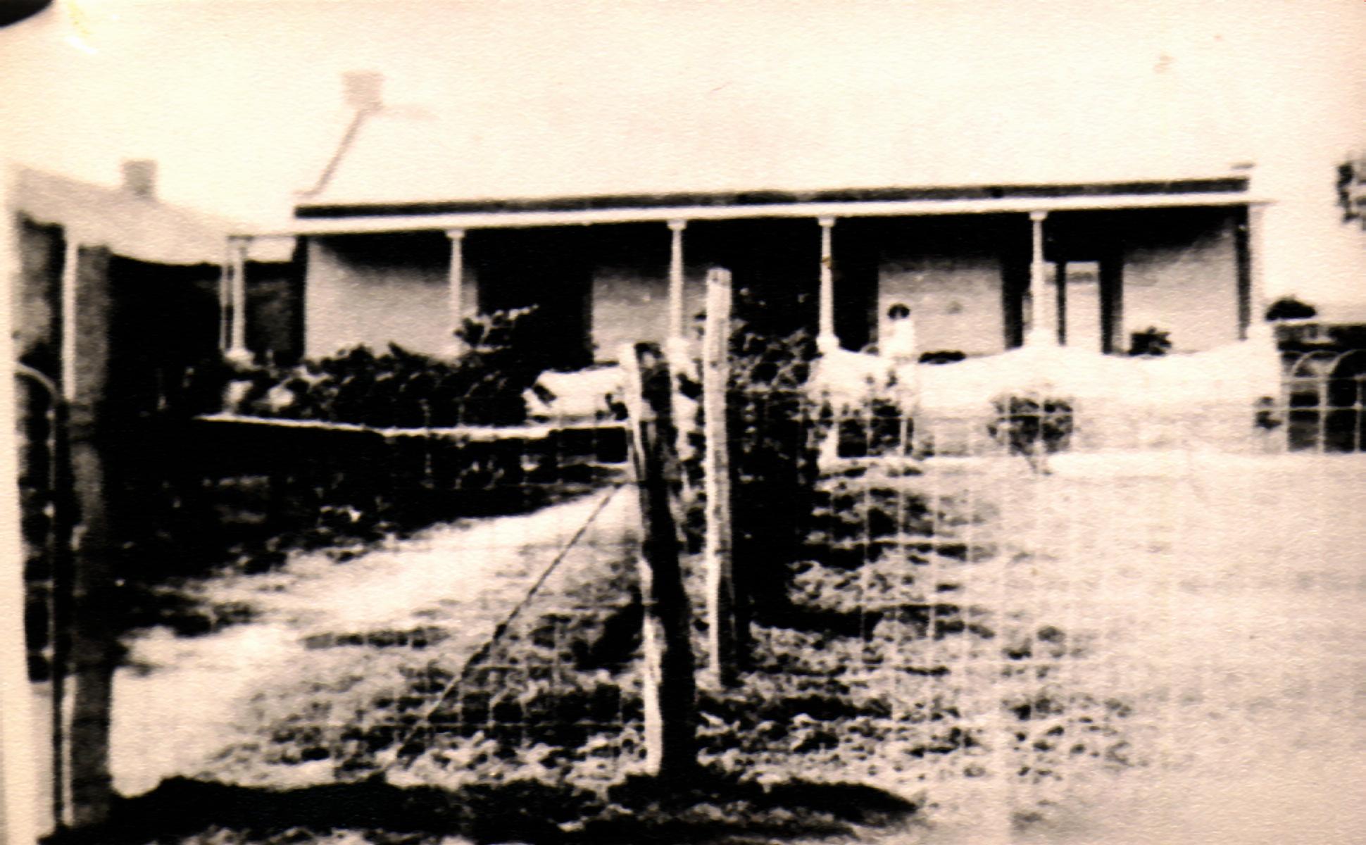
Rietfontein plaas se buitegeboue, alles van klip. Dit is n klein fort wat rondom 1812 gebou deur die Engelse soldate tydens die konflikte aan die Oosgrens.
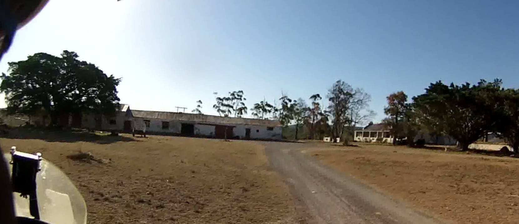
Die werf en woonhuis soos dit vandag lyk.
Rondom 1900 het die huis so gelyk….
From here 21km to the town of Fort Beaufort. The road was in good shape, with many landmarks still where they belong.
These trees were spared when the road was widened 50 years ago.
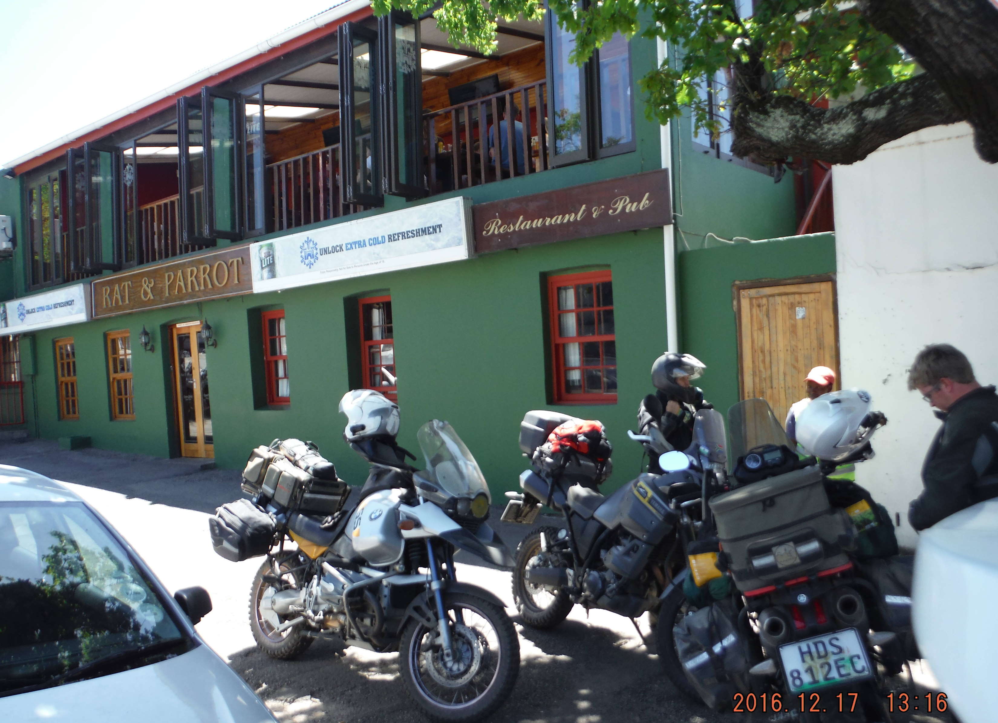
In FB town we booked in at the guest house (bed only).
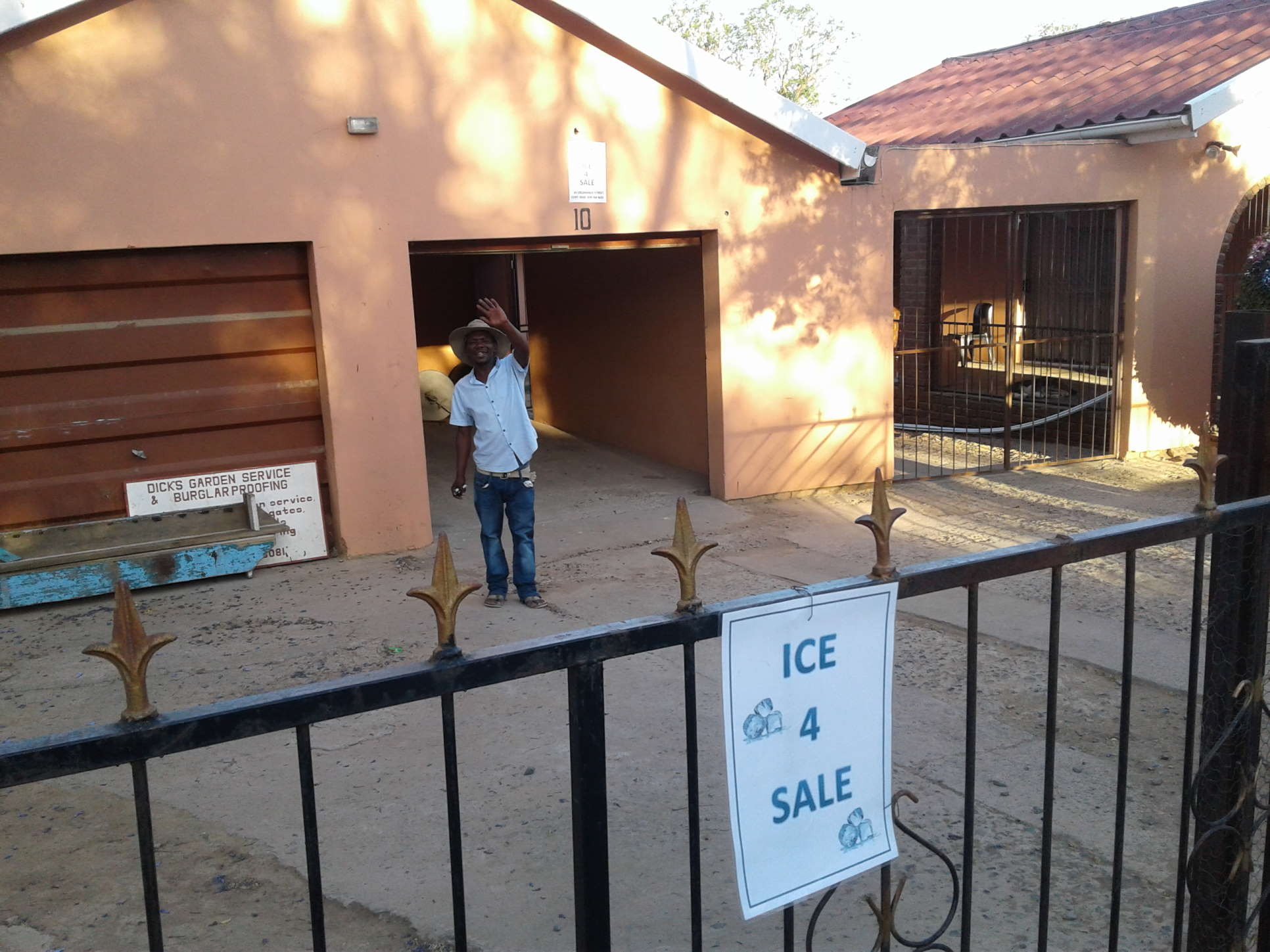
Before settling down, we had to find some ice.
What a mission!!!
The only garage was sold out on ice, the hotel had no more ice, the supermarket was closed and there seemed to be no café any more. Fortunately we saw an A4 sheet of paper against a tree in the main street. Follow the arrow ….. but the arrow did not really point in a sensible direction. So we circled the block and found another A4 sheet fixed to a gate. Yes, plenty ice, at a price though ! ![]()
Chatting to the ice man, we learned that he knew it was very hot and bought all the ice he could get in town, selling it at a premium.![]()
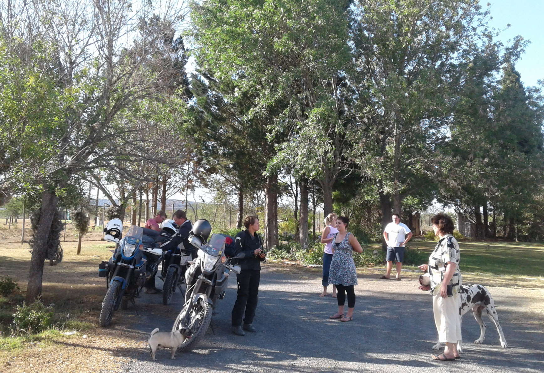
Back at the guesthouse we succeeded in one more mission --- getting four wide bikes (including a 1150GSA) through a 800mm gate for safe overnight storage.
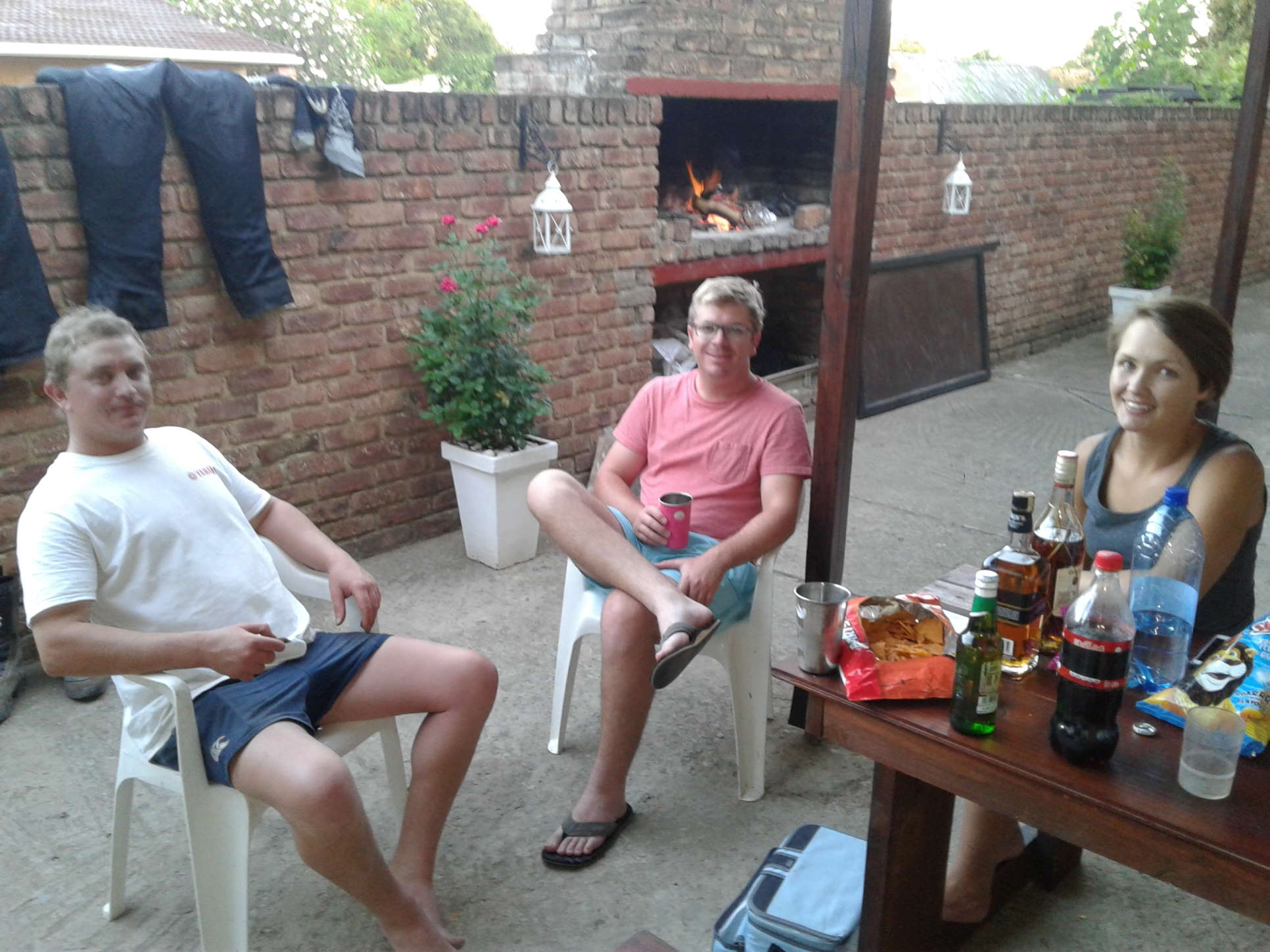
Happy relaxing after a pleasant day of riding.
------------------------------------------
Link to Day2:
http://bmwmotorradclubcape.co.za/four-days-and-10-eastern-cape-dirt-passes-day-2
- 1536 reads
Comments

So that is why you worked late tonight, busy doing your report :-)
An interesting read, I look forward to the other installments.
Froggy.

Keep them coming Danie.
I added a picture of the Ecca pass, showing the many turns winding down the valley.
| © BMW Motorrad Club Cape 2006 - 2020 | Back to live site | Site built and hosted by HoneyBadger.net |