BMW MCC Cape: Sutherland Annual Winter Ride 2015: Intermediately/ immediately dirty

05:10 is a particularly awful time to get up. Except if you know you will be getting on a motorbike...
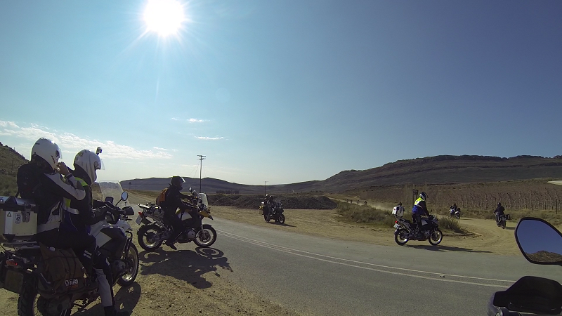
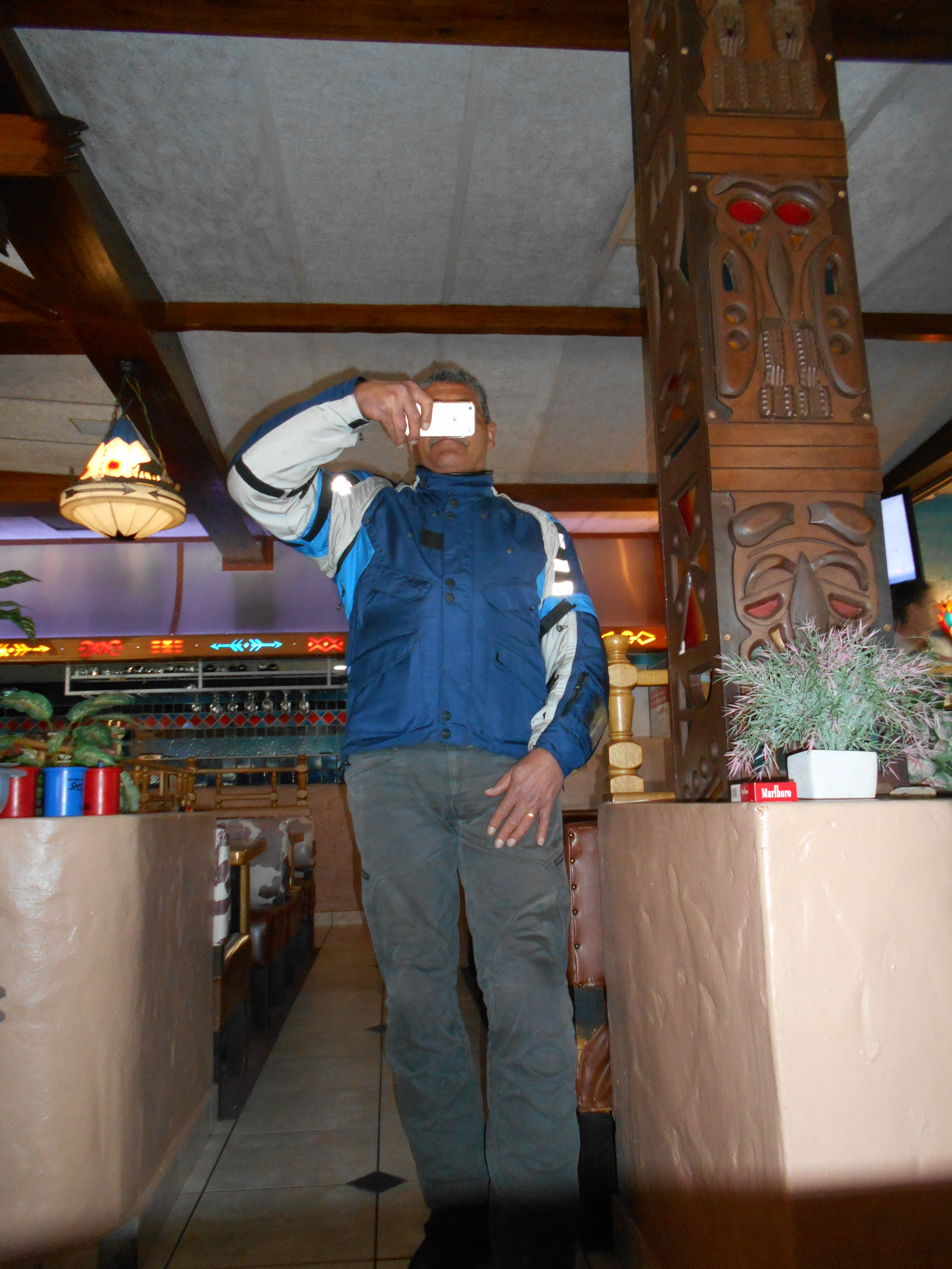
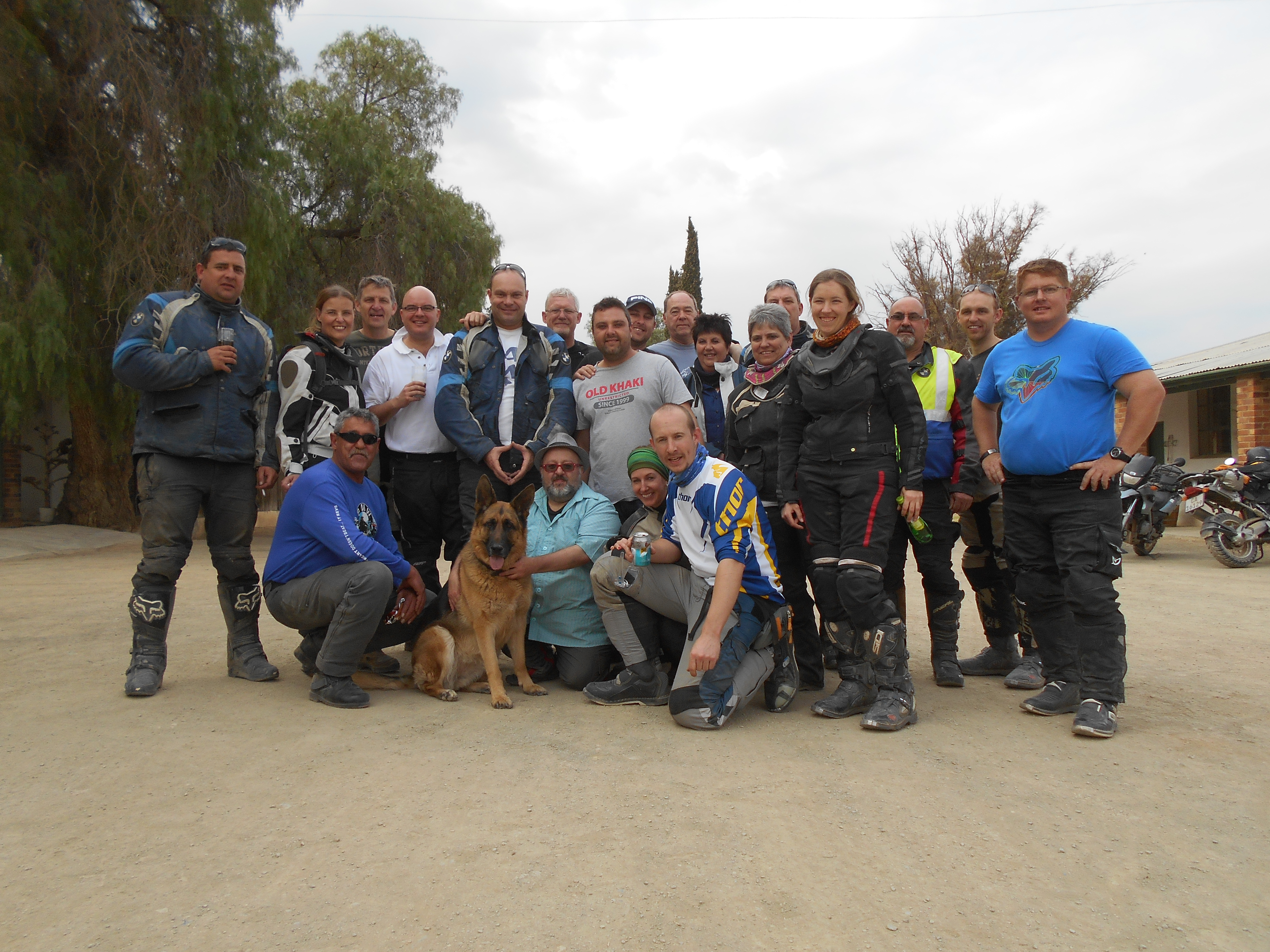
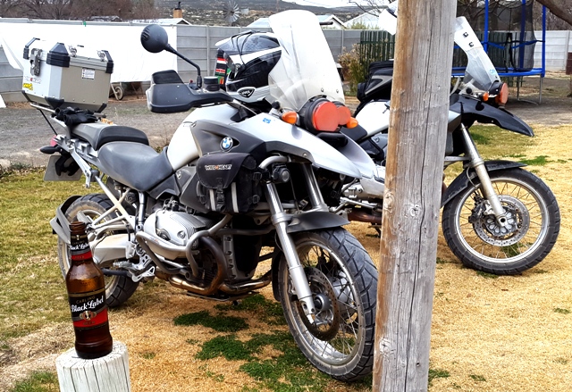
Everyone met at the Winelands Engen at 06:30. We were a bit late (not my fault - men can take their time as well) and nature called, which meant that I missed the round of introductions. Therefore please excuse me if I label you as "random biker on bike" in a picture. This will be an exercise in "spot yourself."
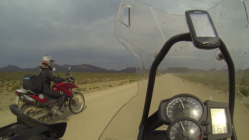
Another disclaimer: almost all the photos are snapshots drawn from Lance's GoPro footage; using the appropriate amount of blood, sweat and tears (considering it amounted to 40 min per day). Neels was kind enough to let me ride with the intermediate group, but I was usually quite far at the back. This meant that Lance was at the back. This, in turn, means that if you were out in the front, the "spot yourself" exercise gets more difficult, if not futile. Still interested? Page down.
We headed out on tar, but there is no photographic evidence. We will pretend it never happened. The road to Tulbagh featured wind. Edit: STRONG wind. It felt as if the bottom of my bike was being blown out from underneath me by the broadside gusts. Strangely enough, the wind was only bad there and was almost non-existent elsewhere.
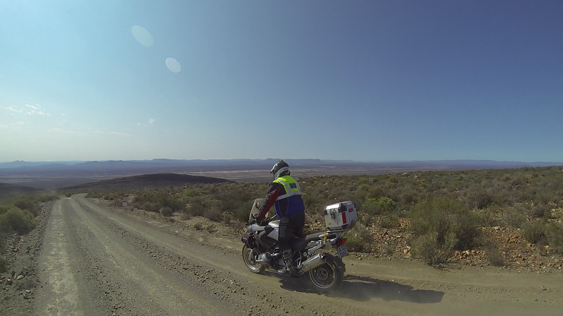
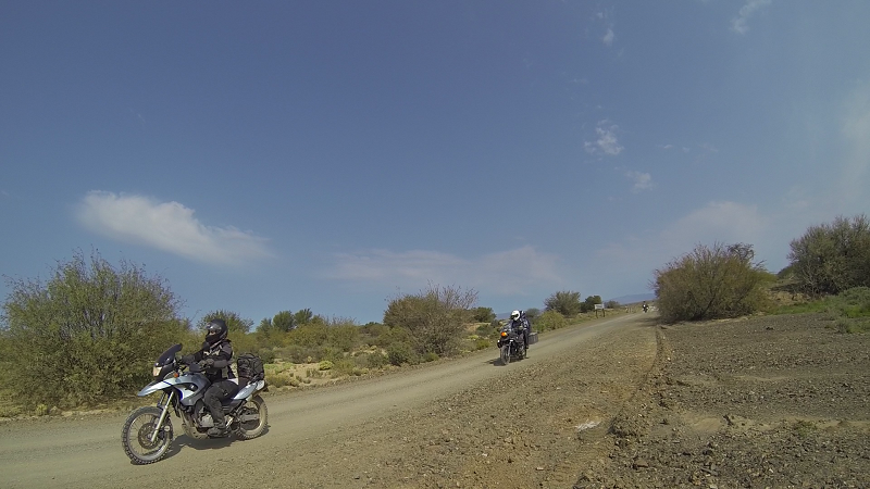
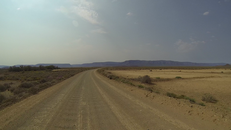
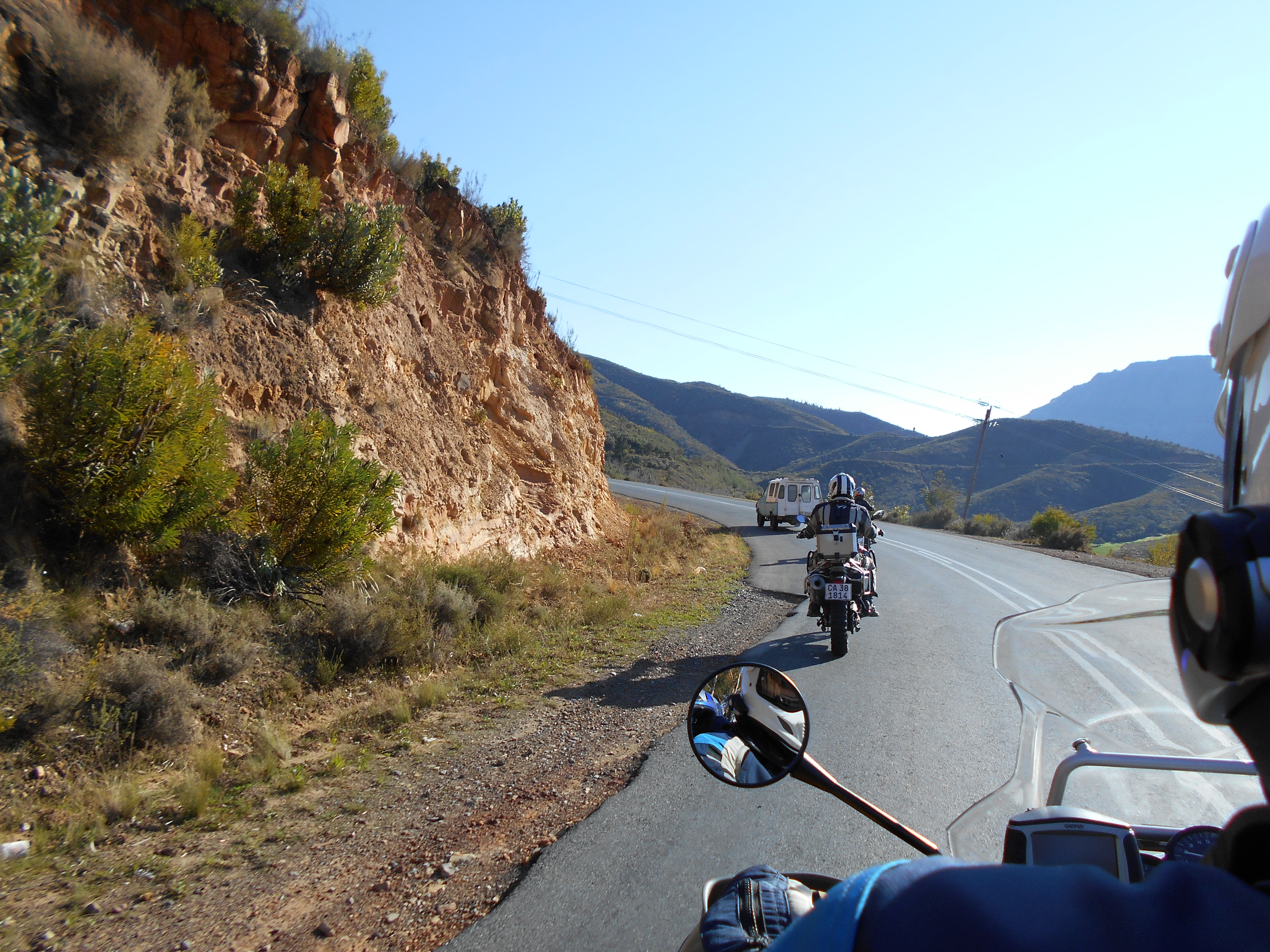
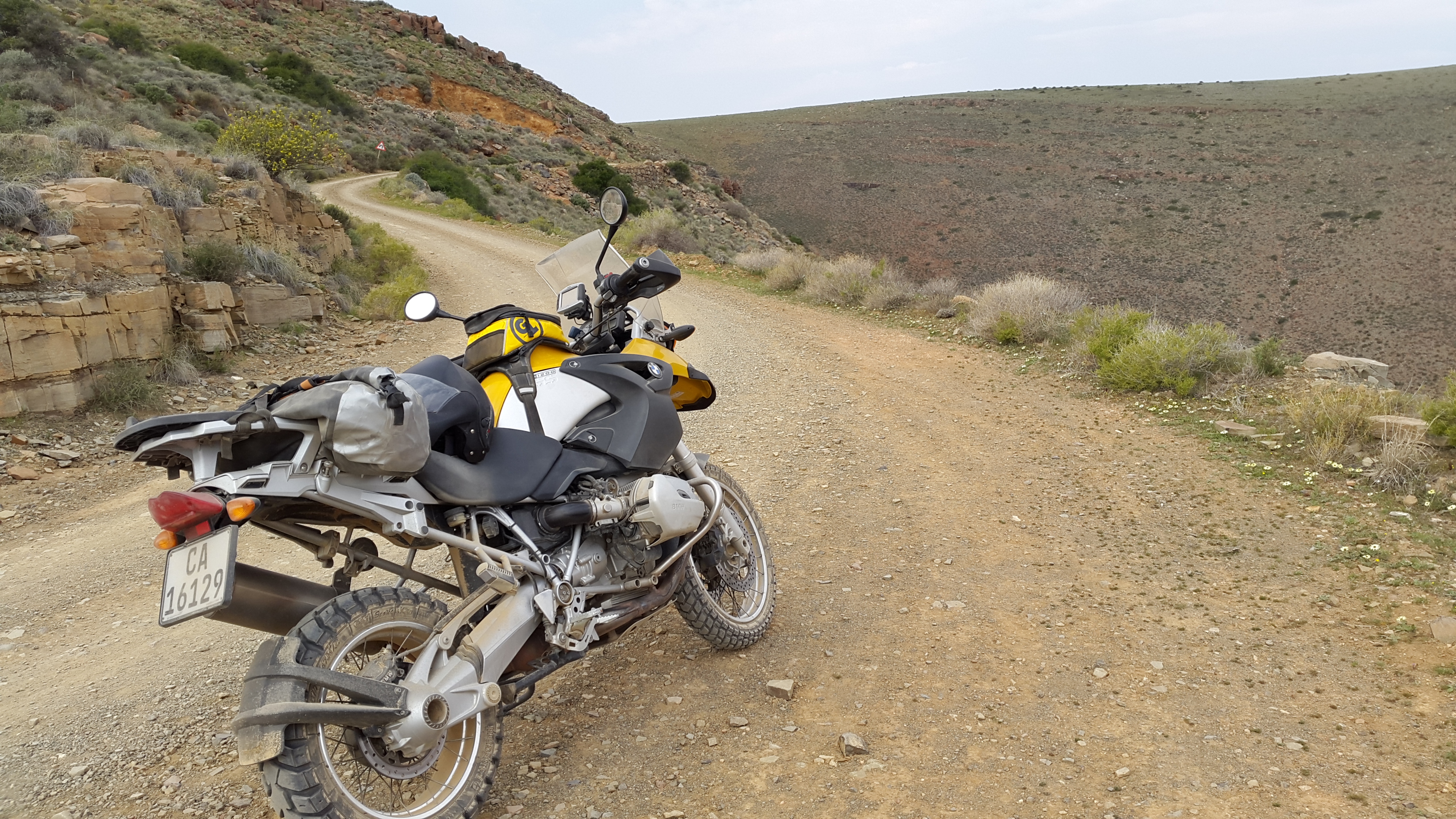
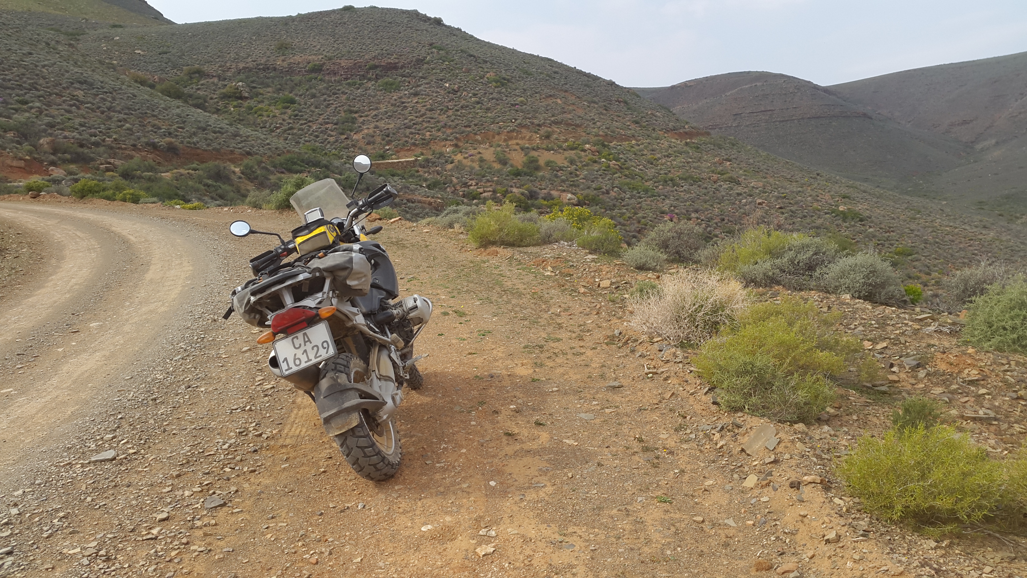
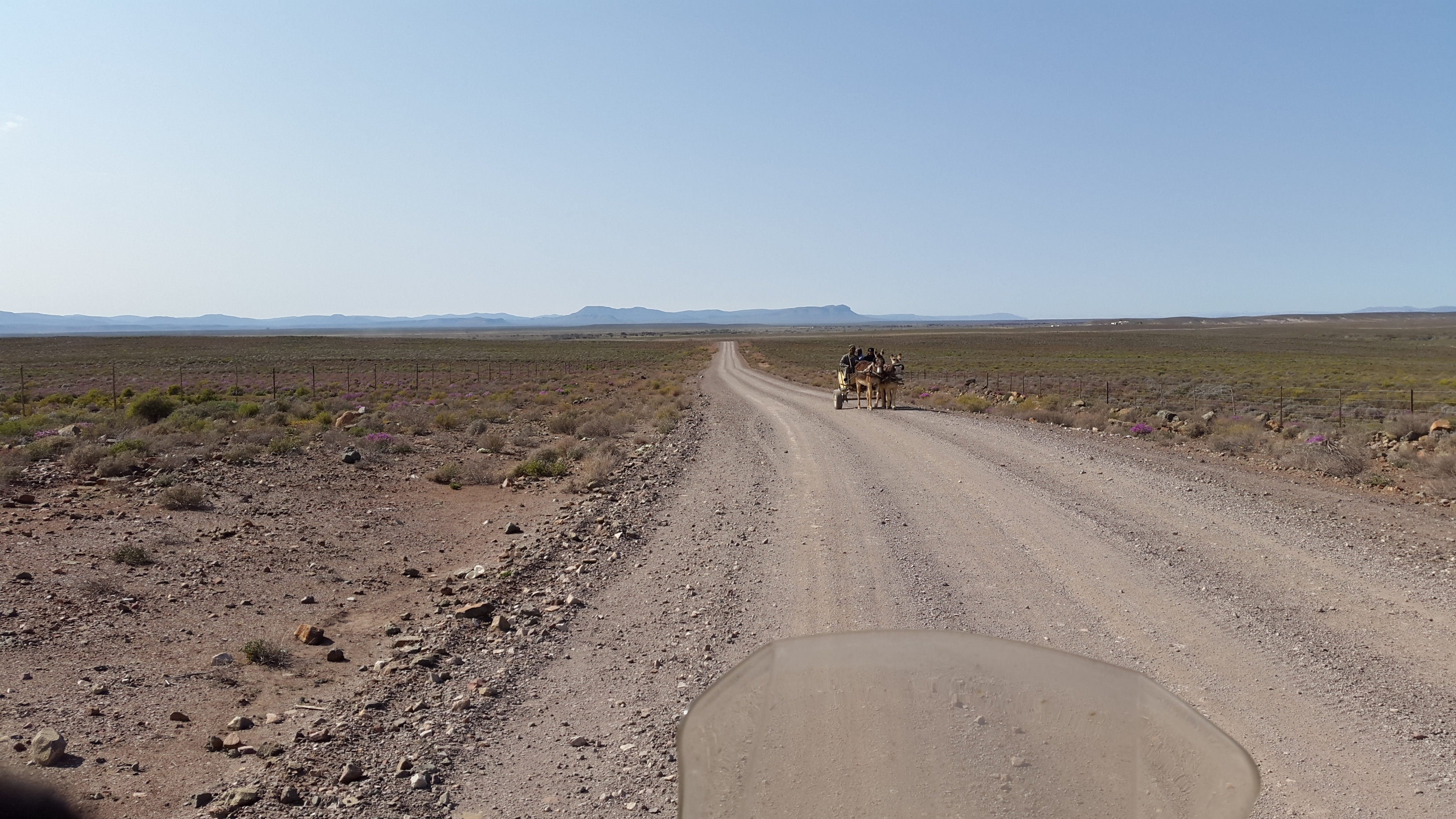
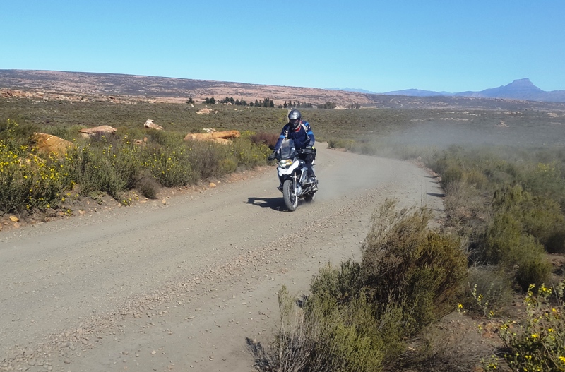
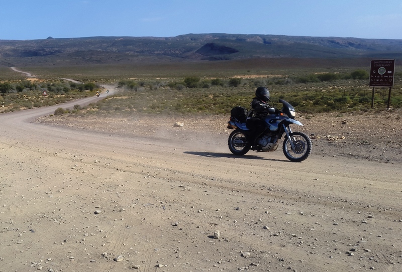
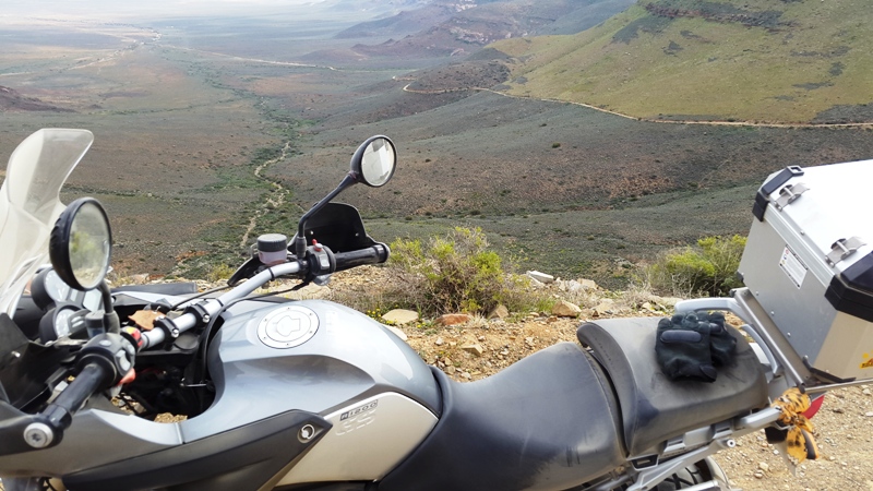
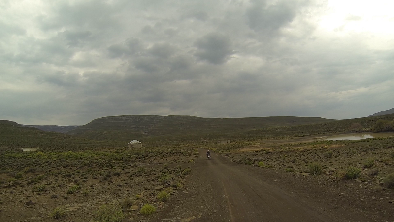
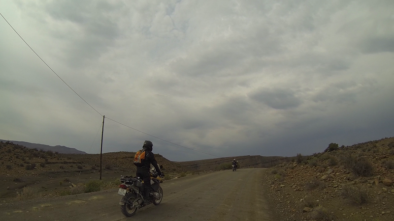
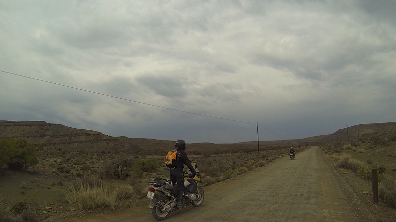
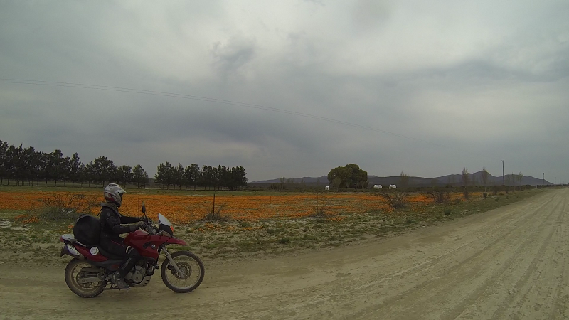
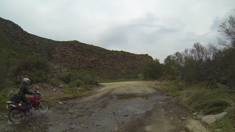
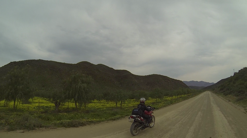
We had breakfast at Spur in Ceres. Shortly thereafter we finally hit dirt. I am directionally challenged, so I'll hazard a guess that this was after Op Die Berg.
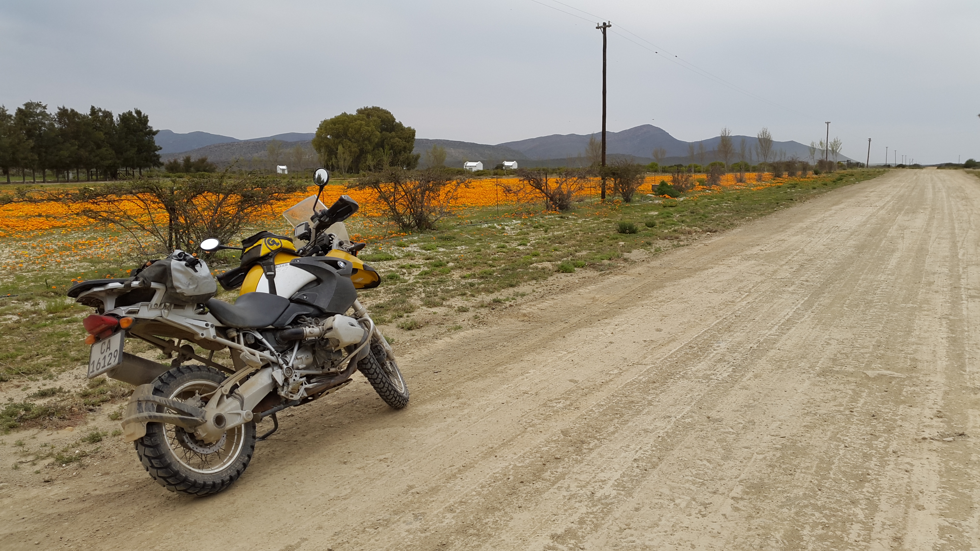
There were flowers everywhere. They were not of West Coast extravagance, but beautiful nonetheless.

Where's my photo?
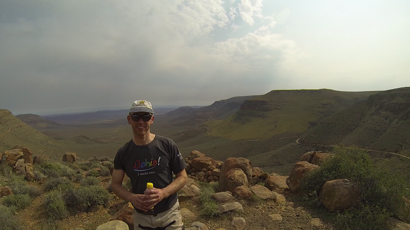
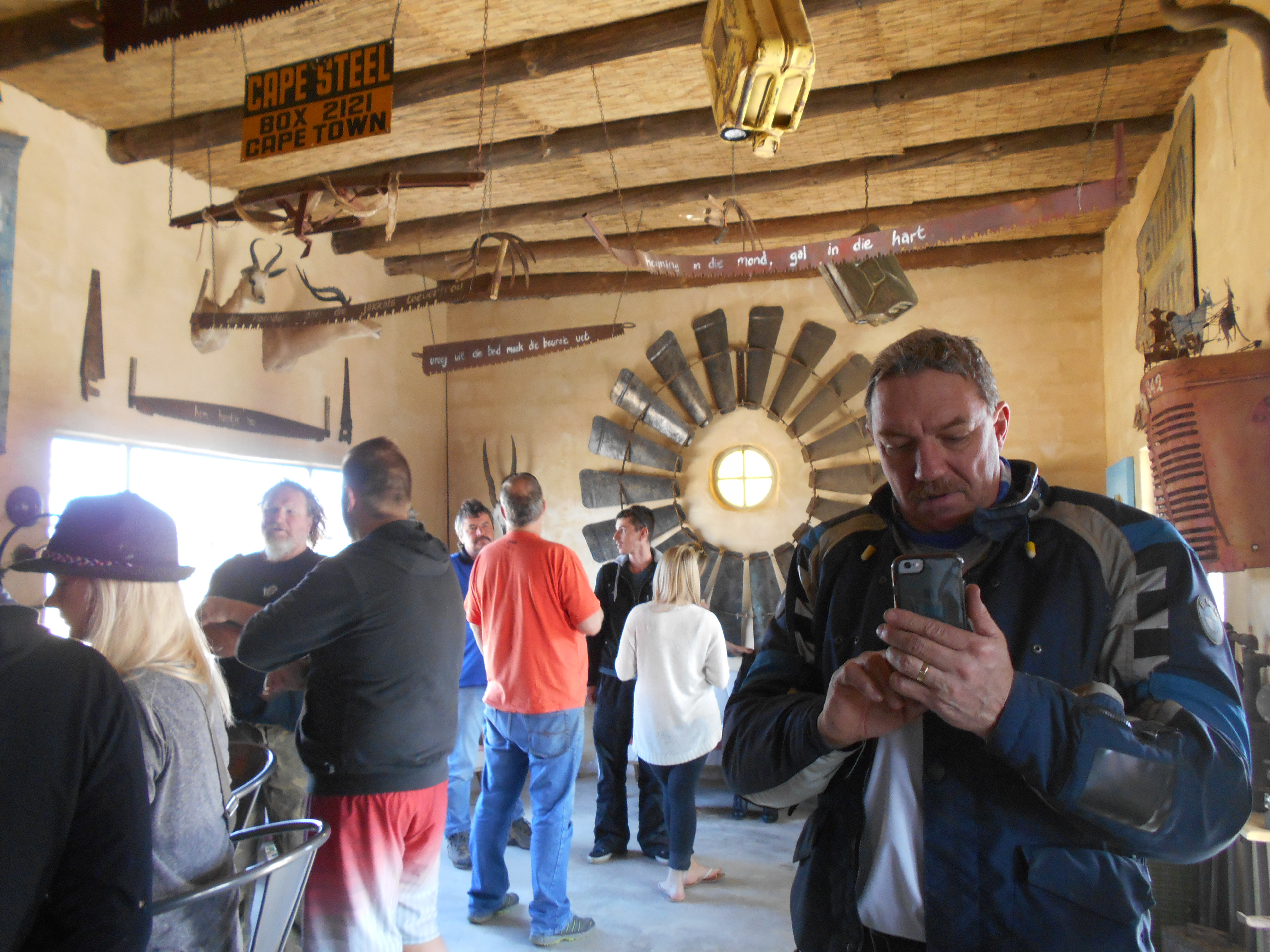
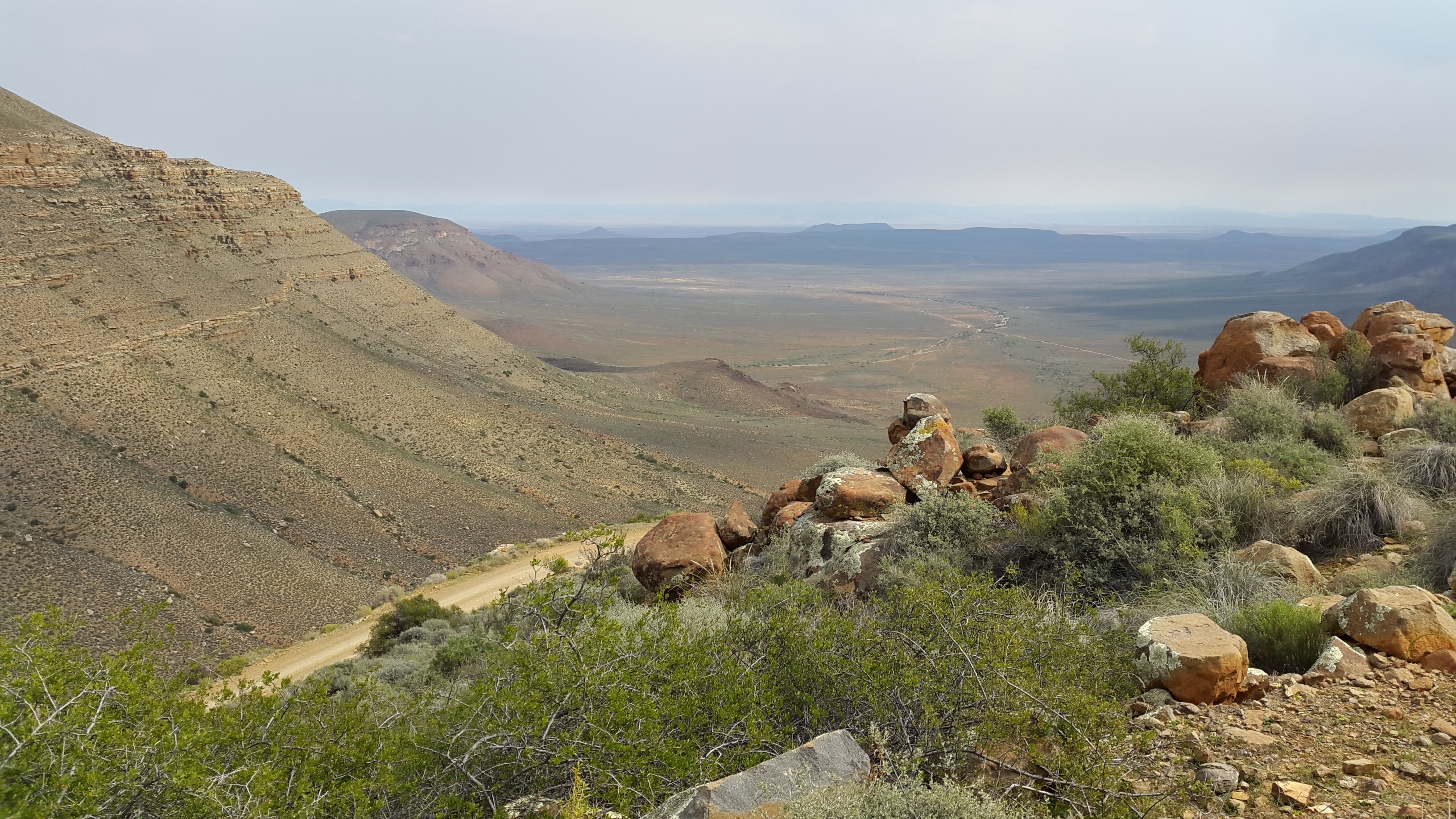
What a stunning place!
Someone:
Someone else:
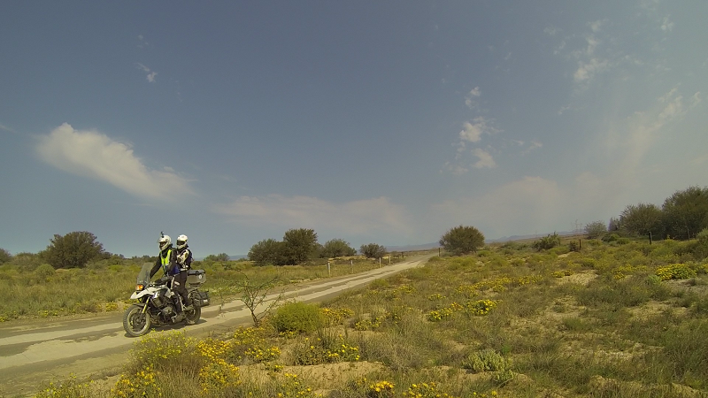
Actually I do know that this is Marinda. Ladies are a scarce resource on rides such as these. She was the only other lady on her own bike in the intermediate group.
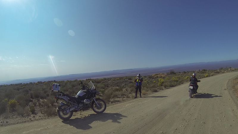
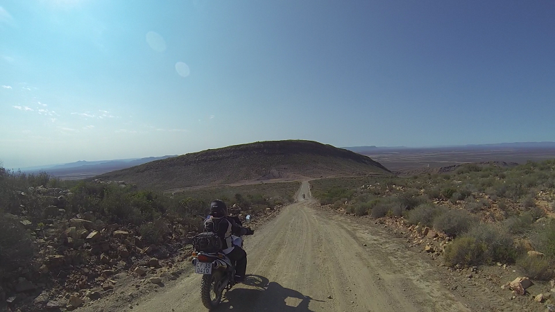
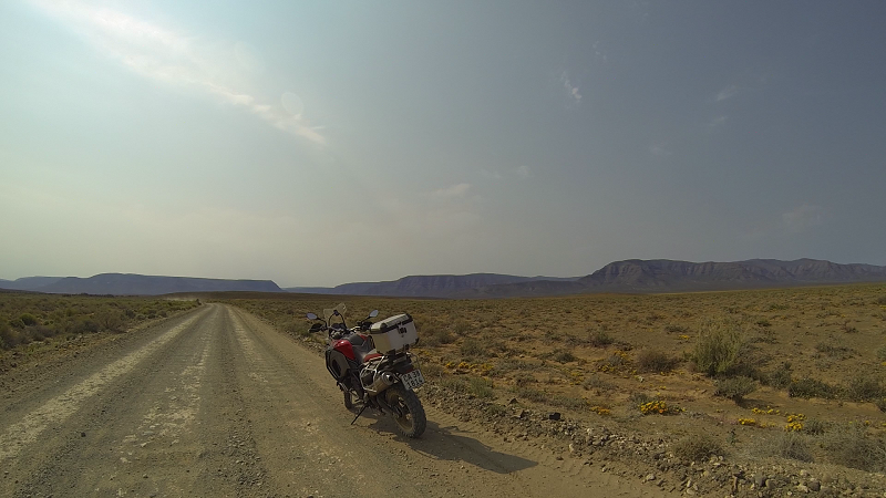
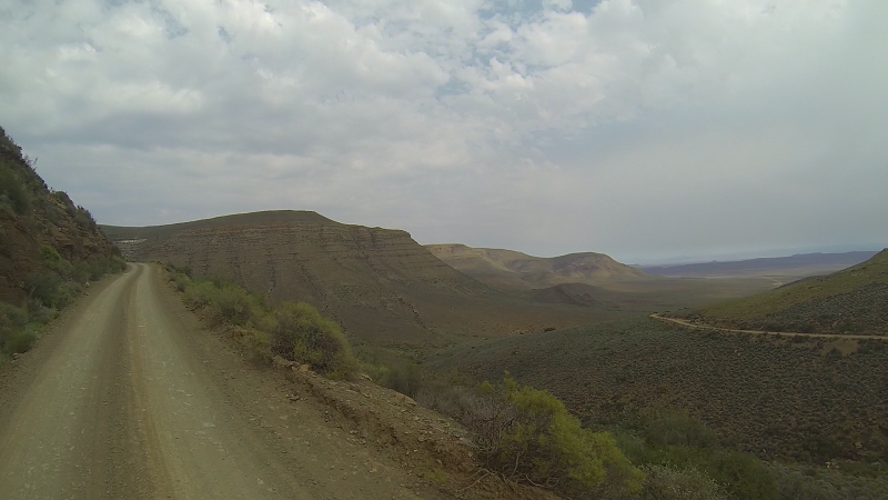
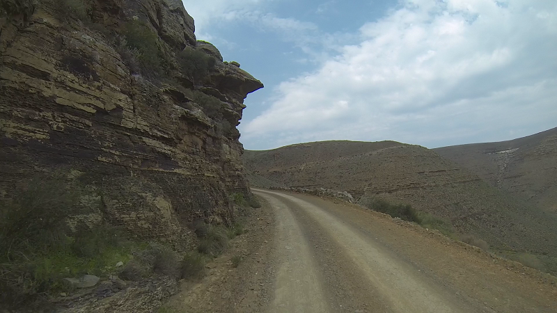
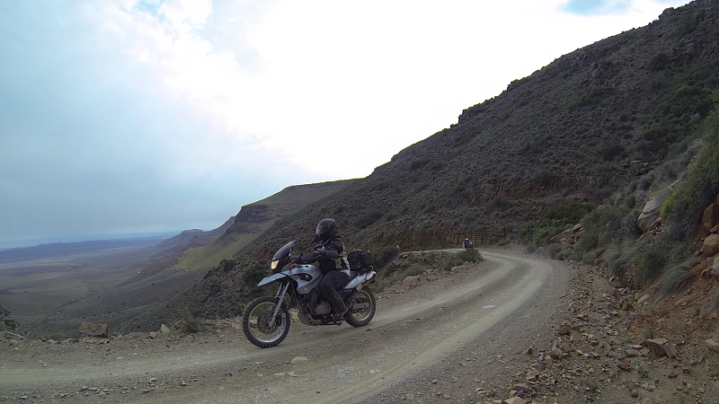
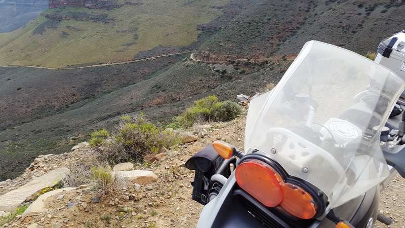
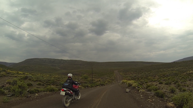
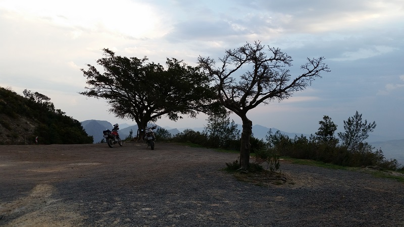
Katbakkies Pass:
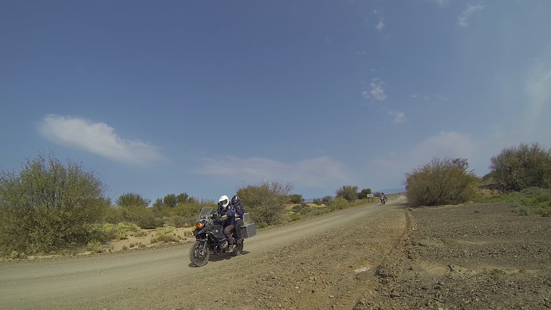
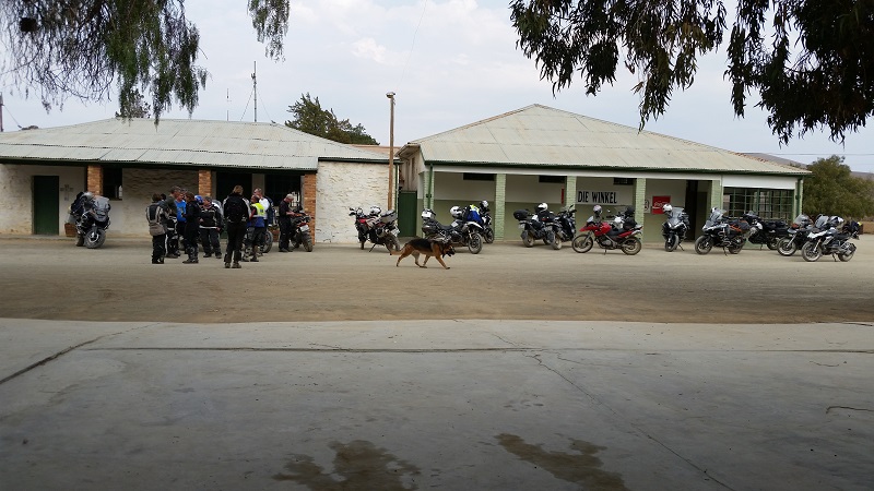
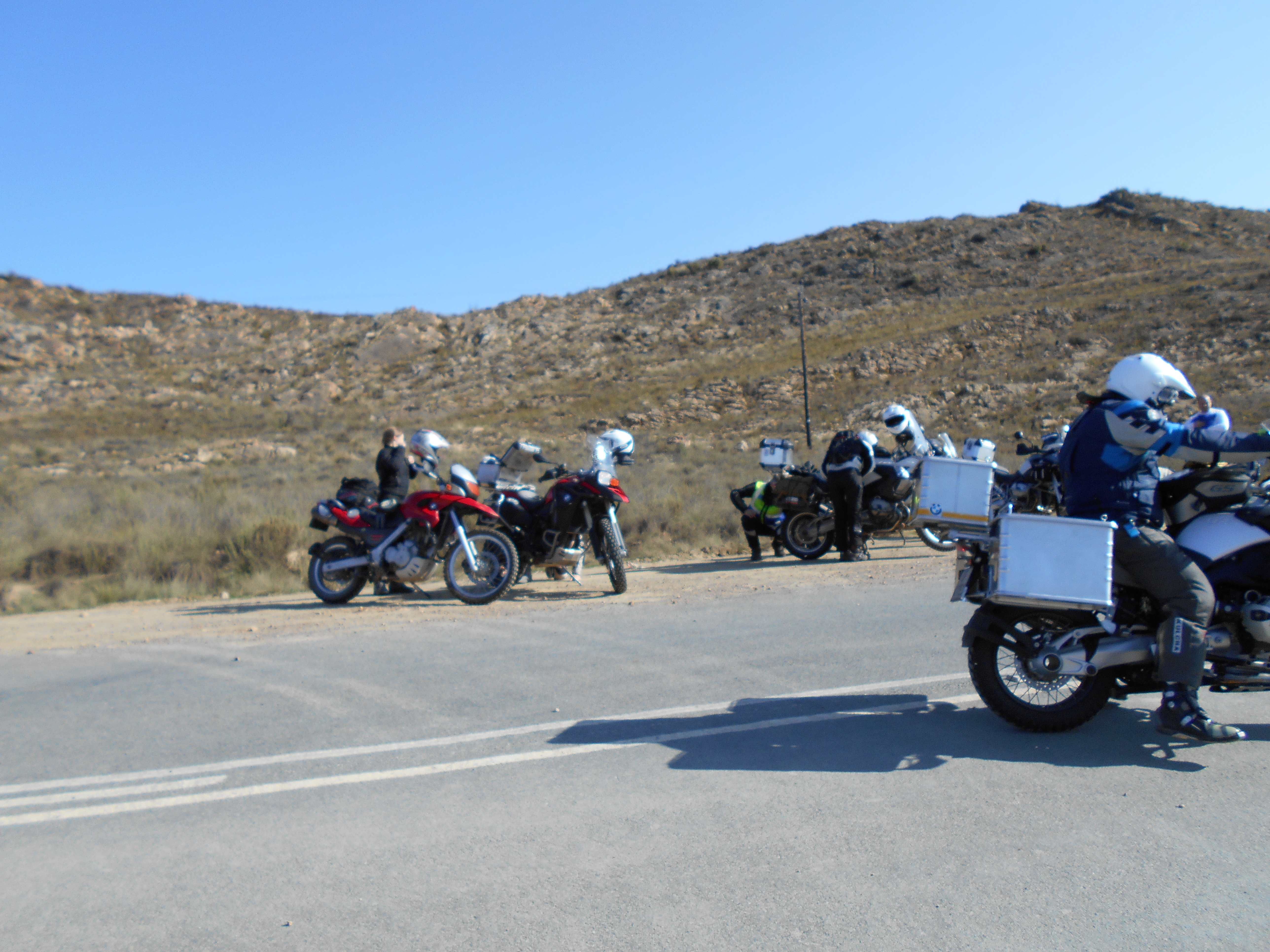
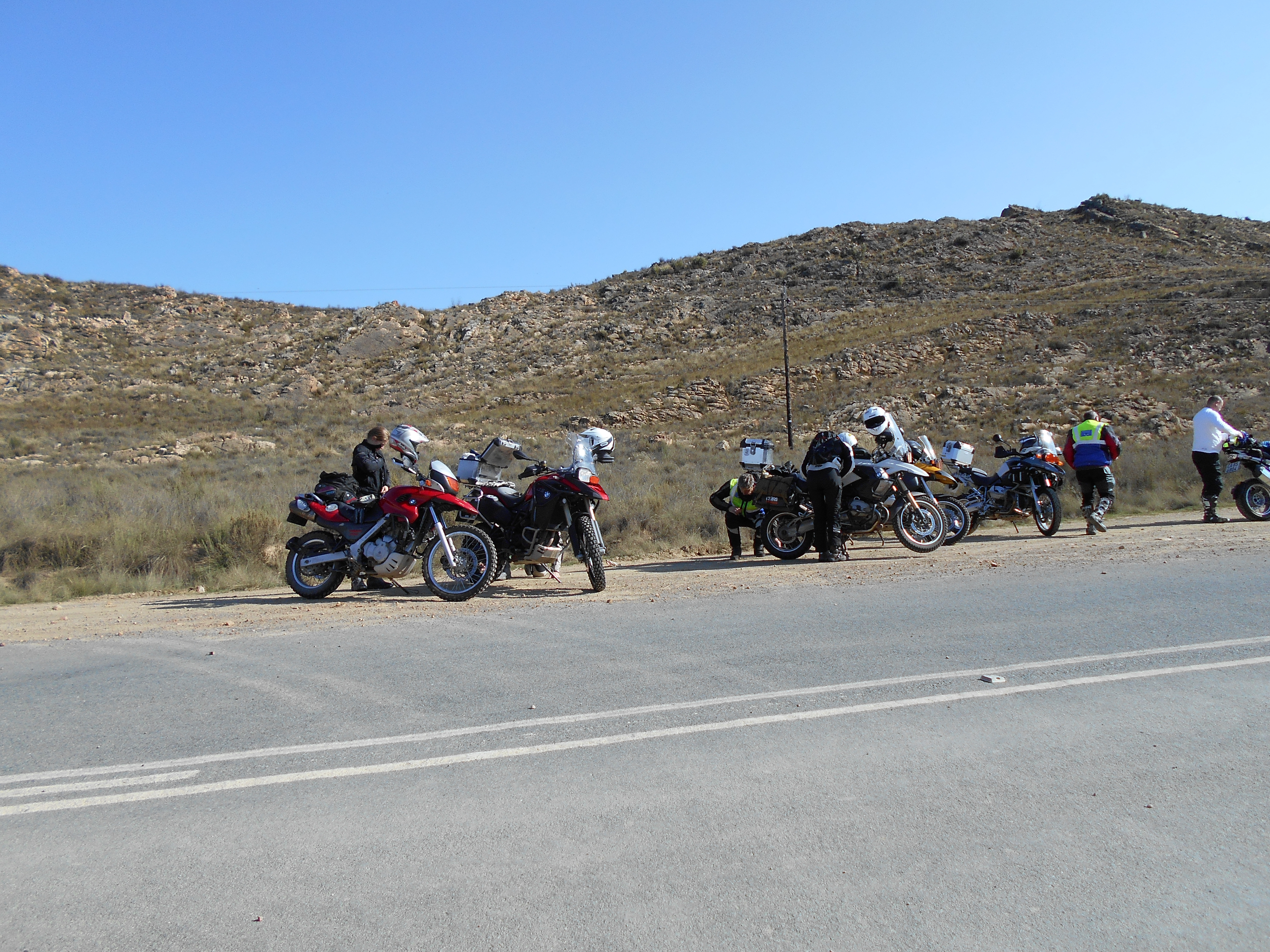
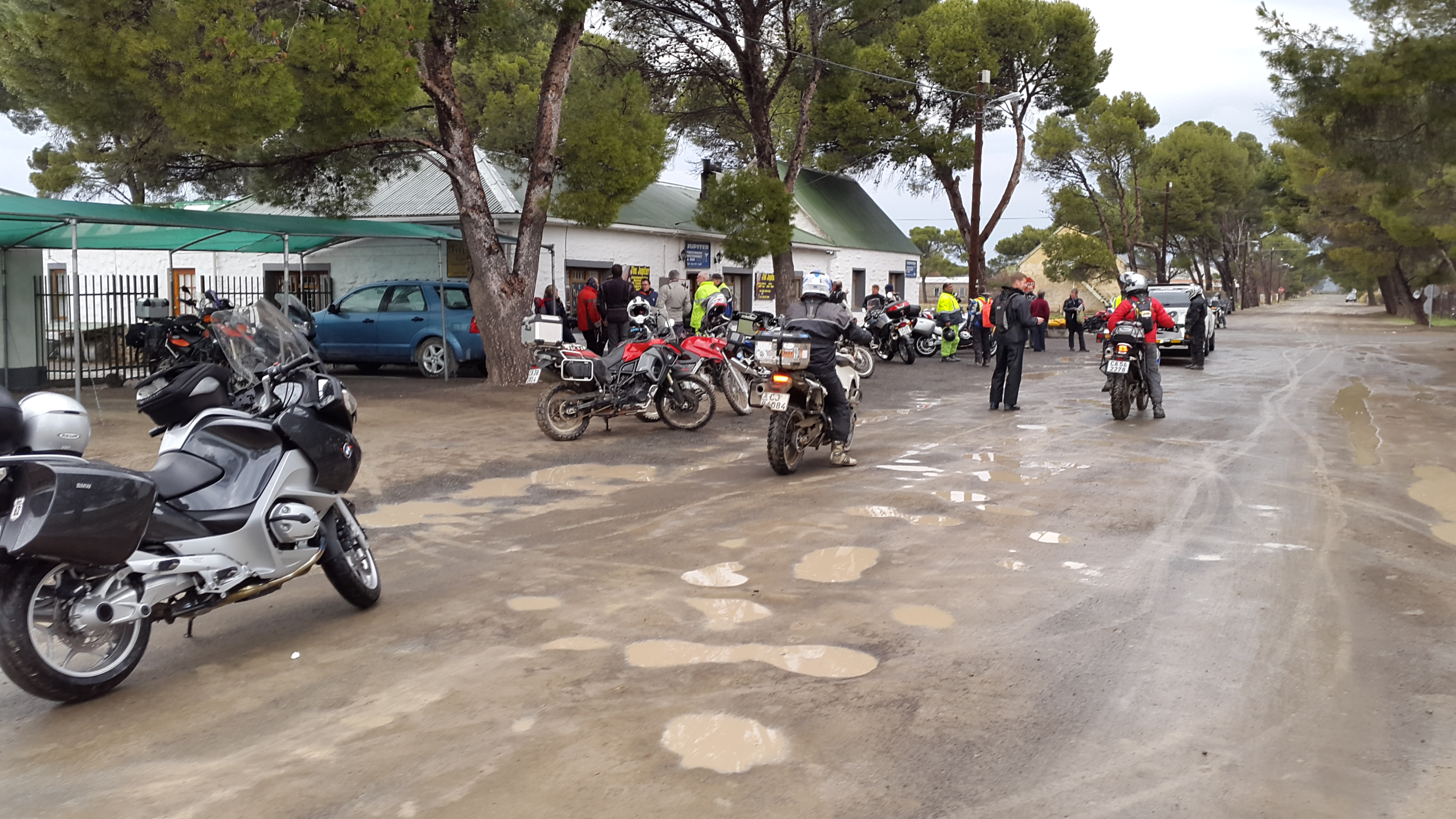
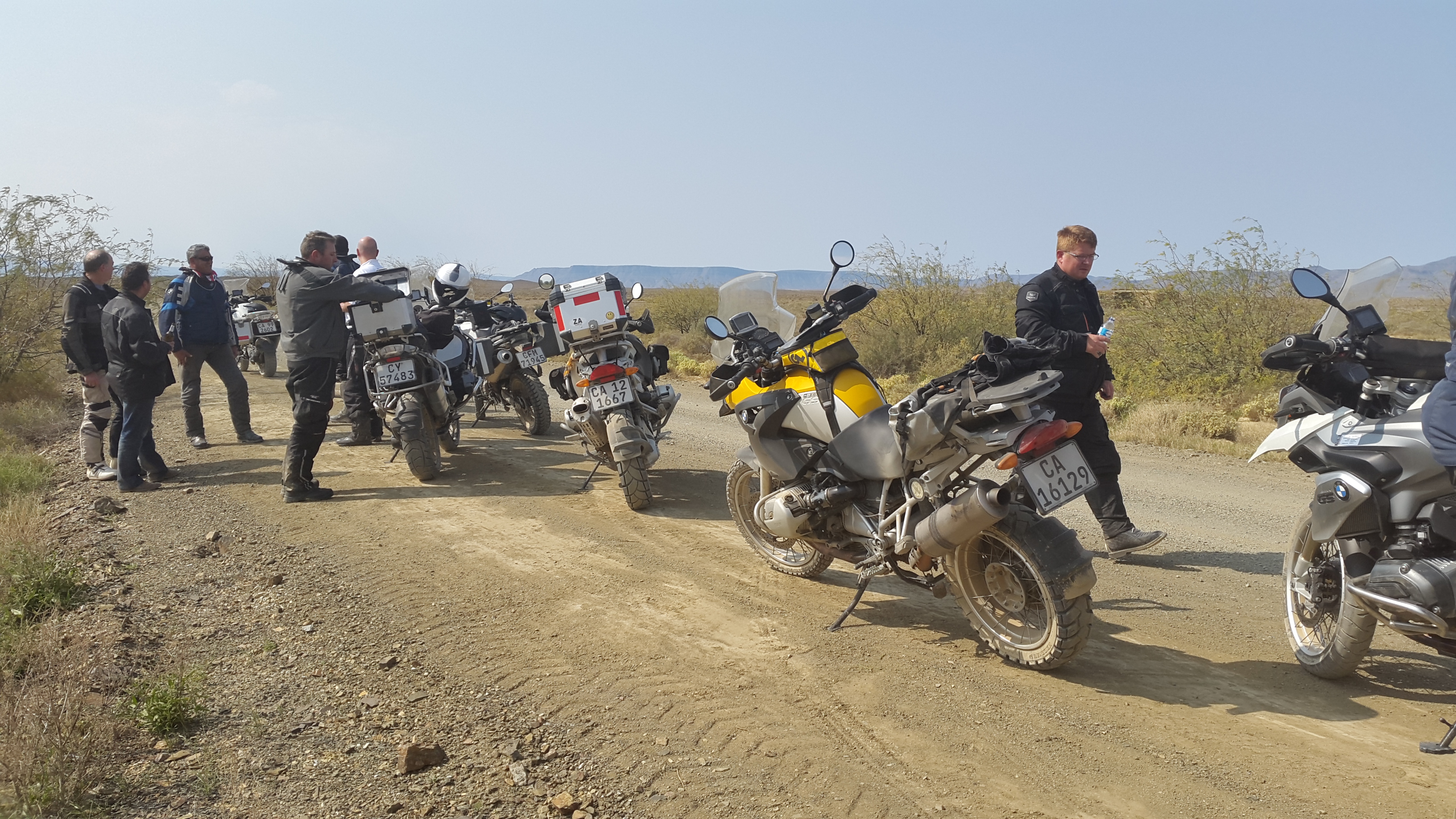
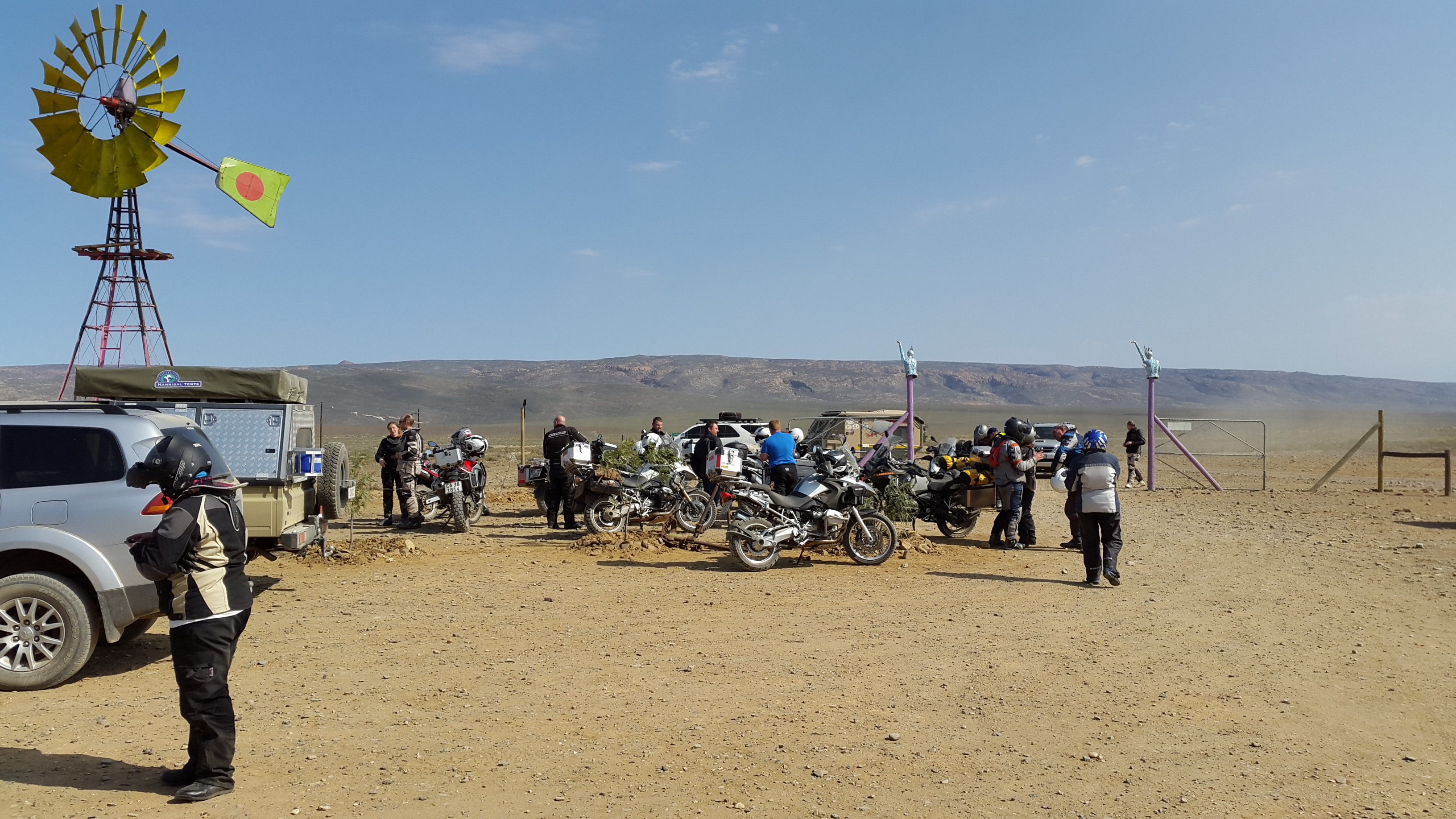
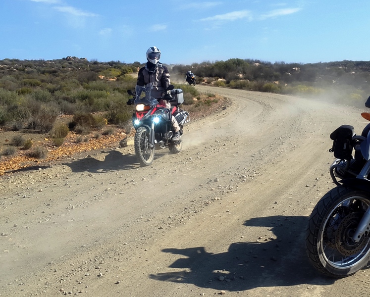
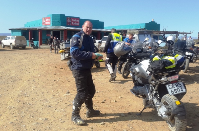
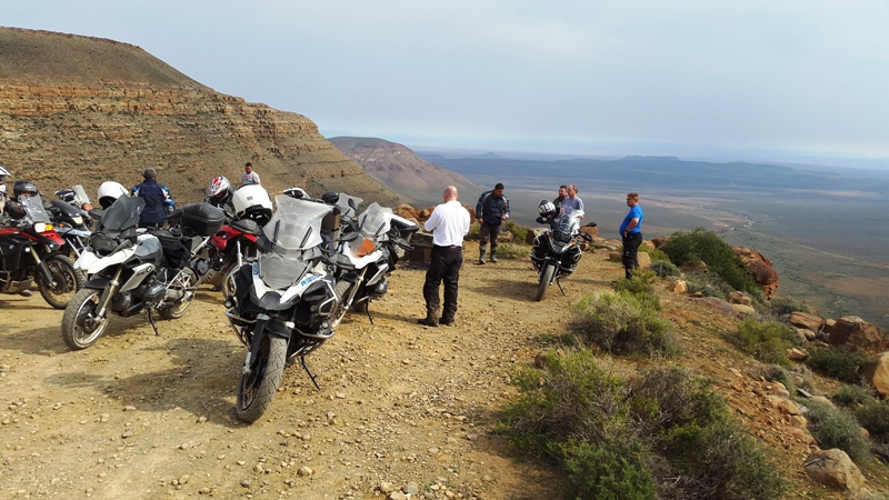
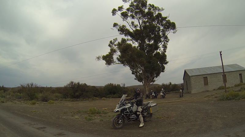
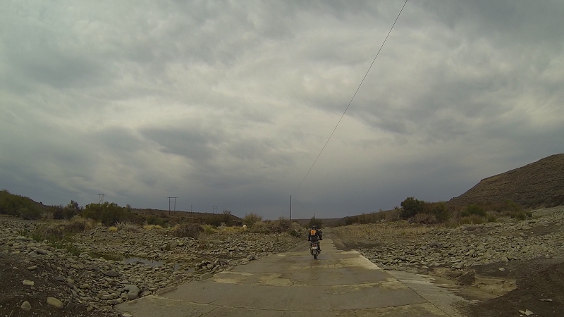
We had a quick stop-over at Tankwa Padstal. The whole group acted like a well-oiled machine on this trip. Given the planned route distance, Neels kept a tight watch on time.
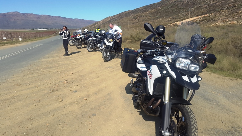
Everyone line up! Where's Neels?

There he is.
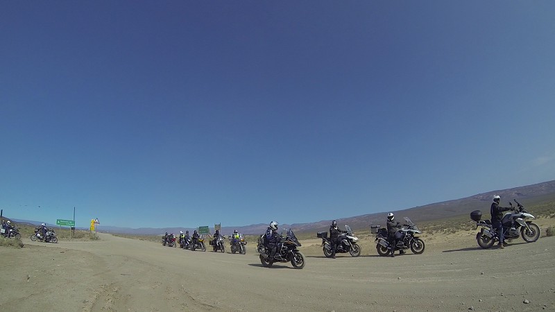
Let's go!
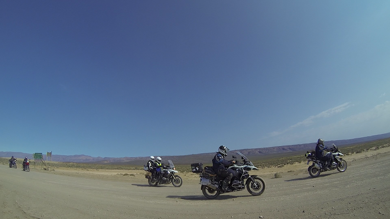
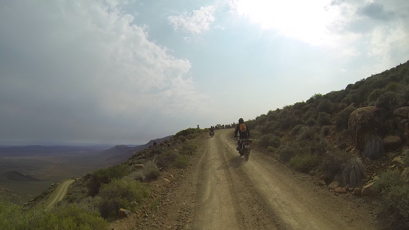
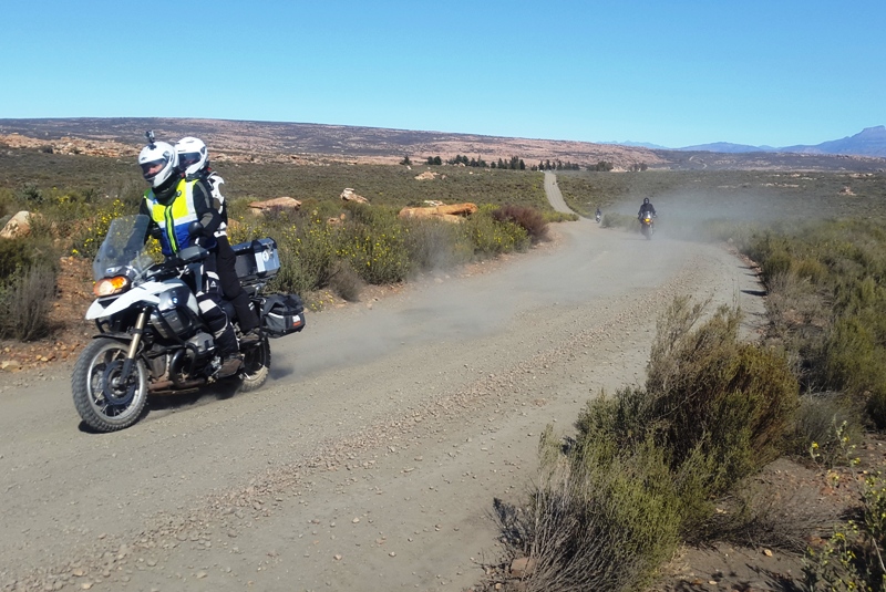
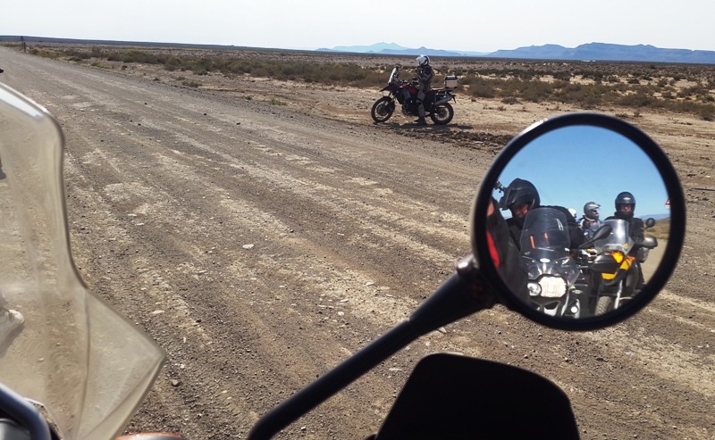
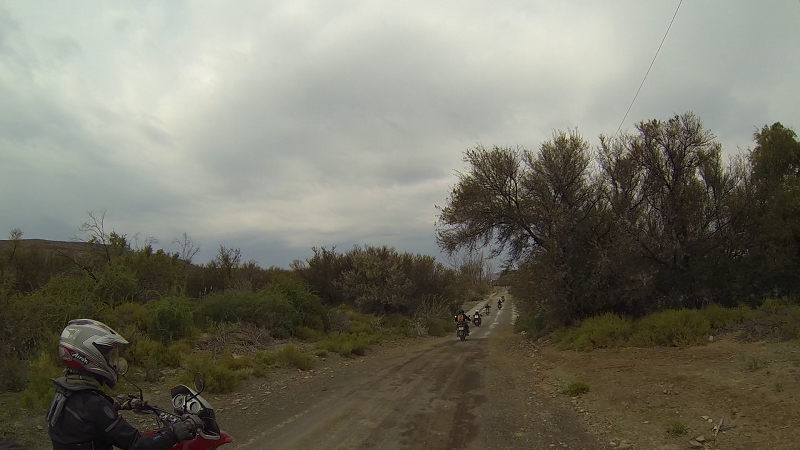
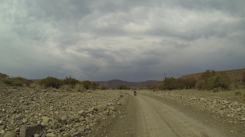
The back-markers.
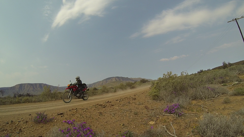
More flowers
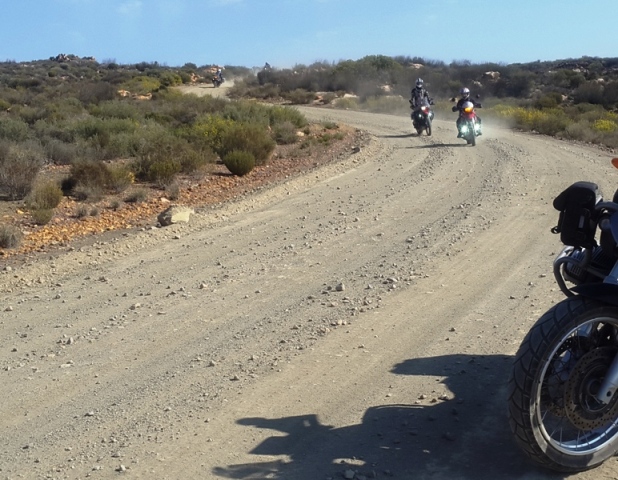
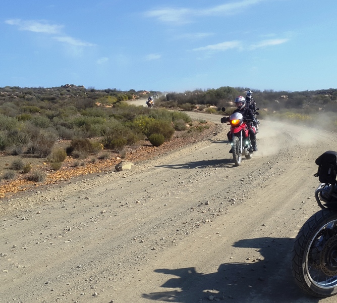
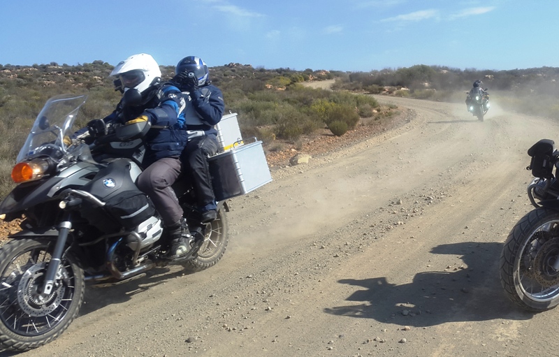
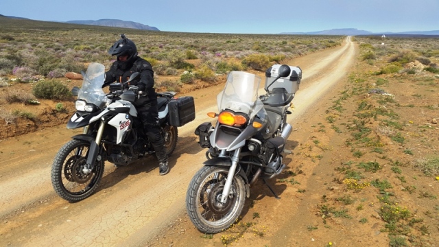
More people
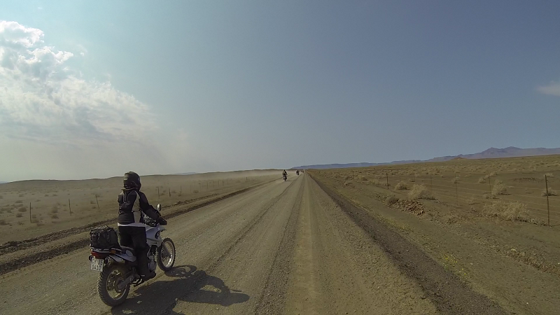
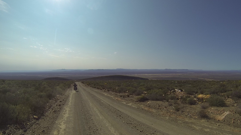
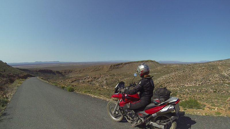
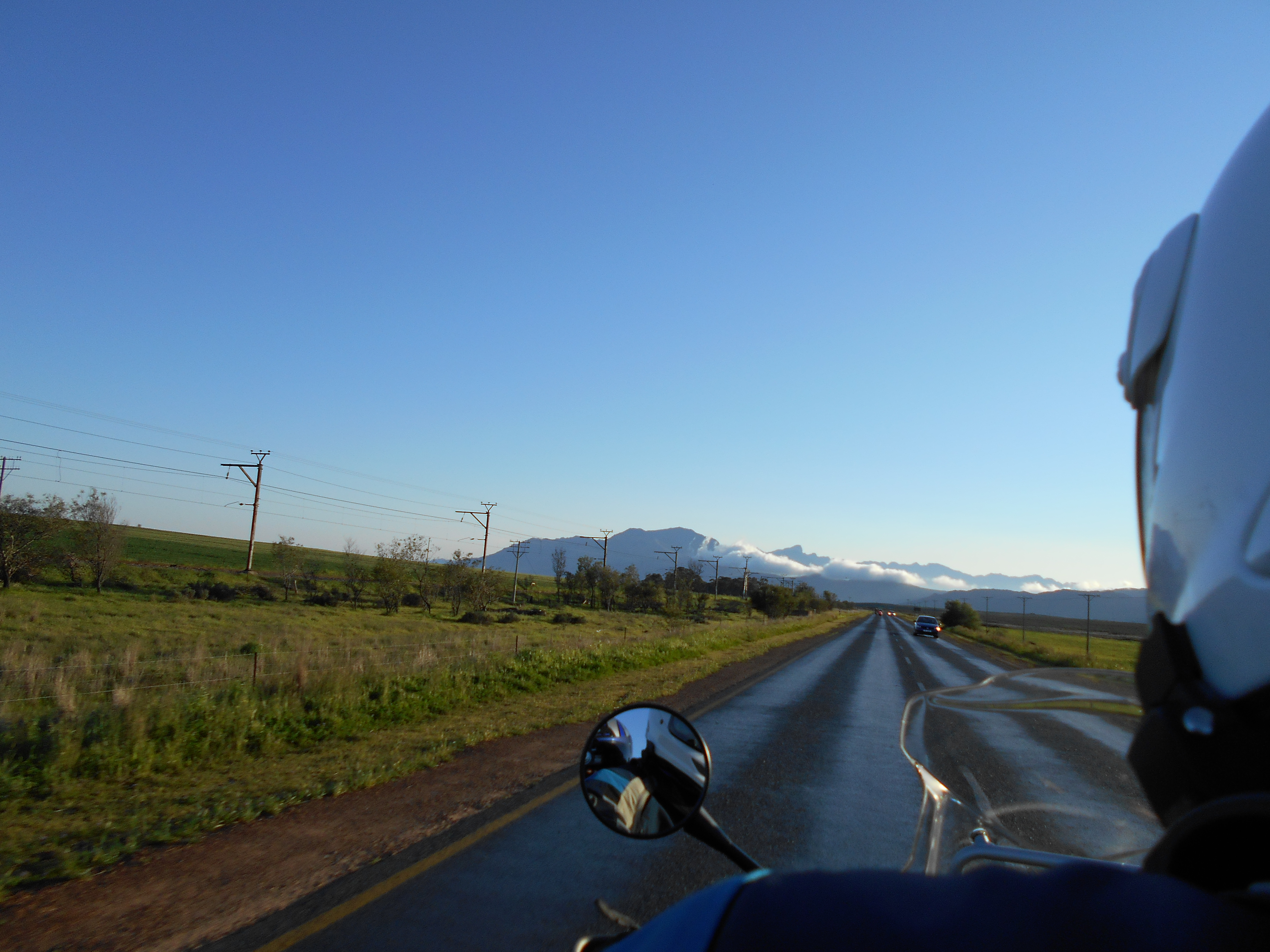
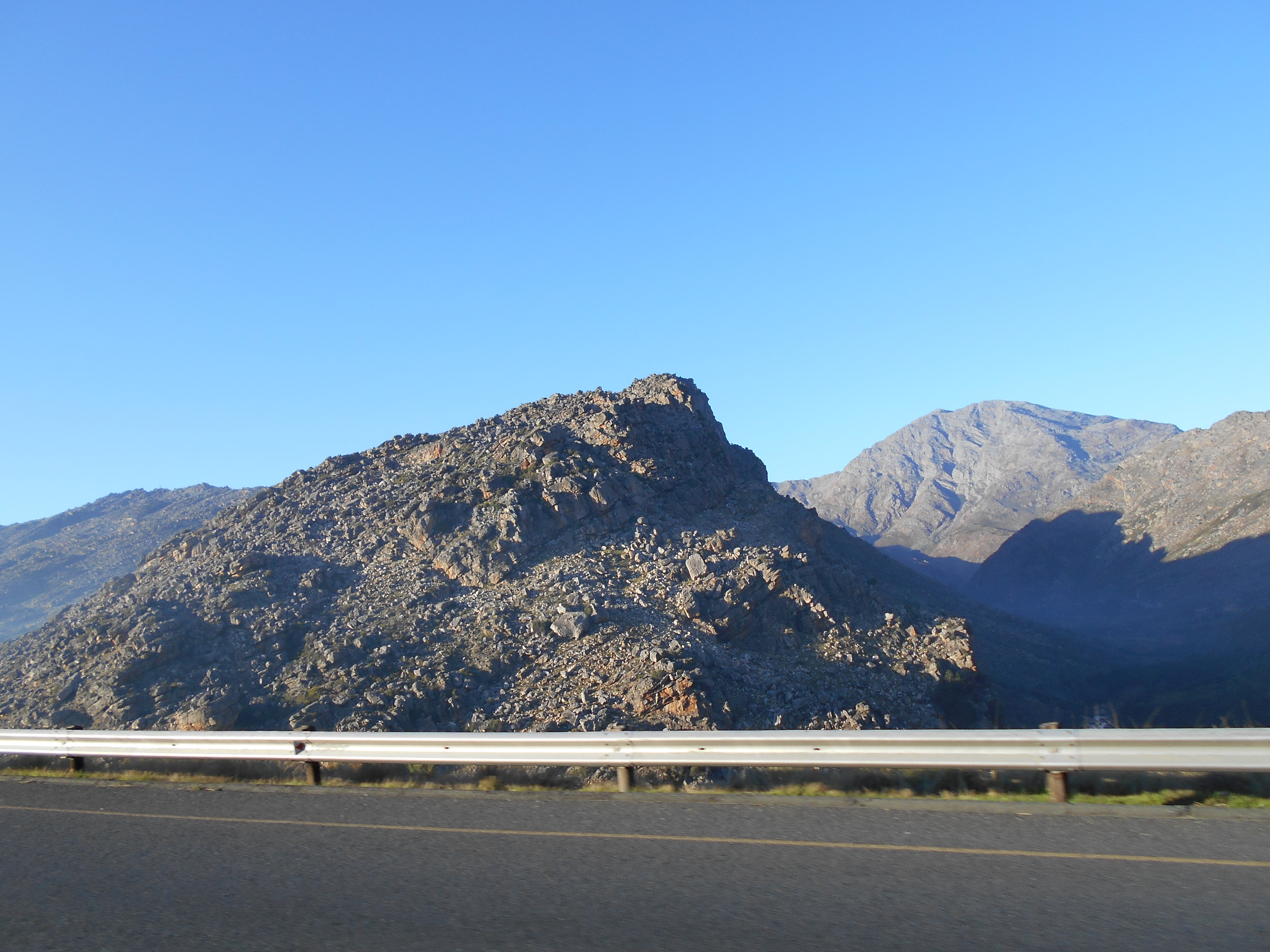
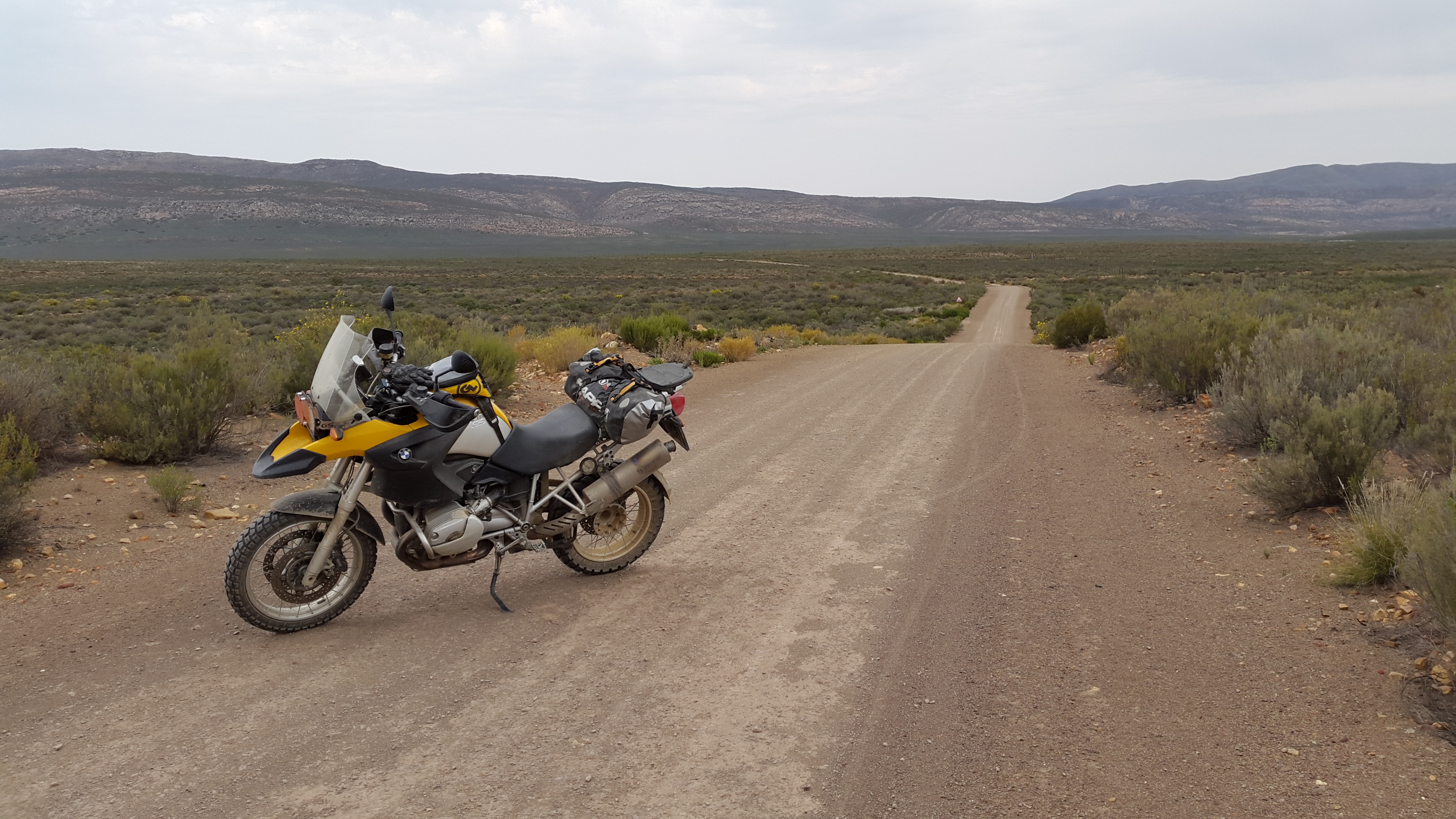
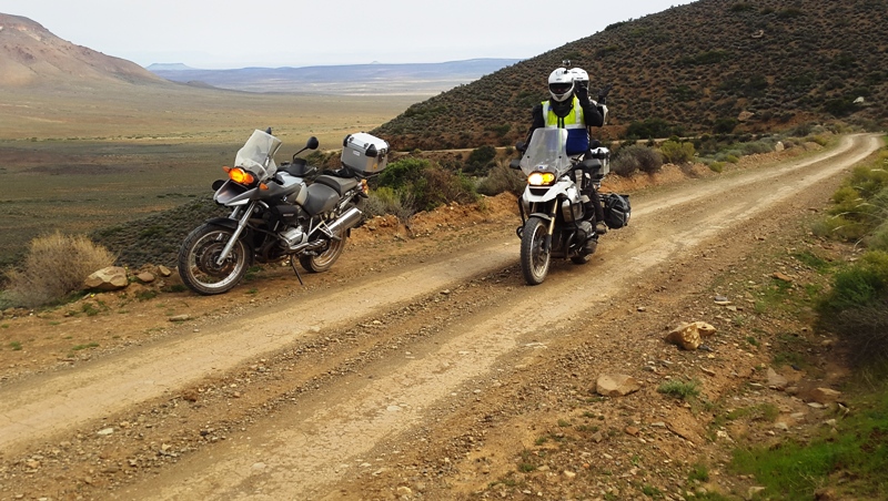
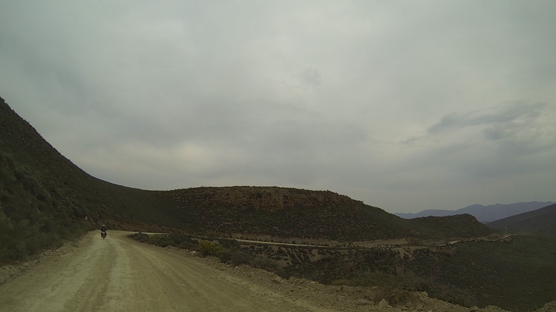
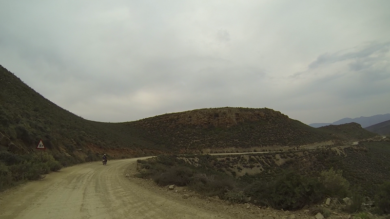
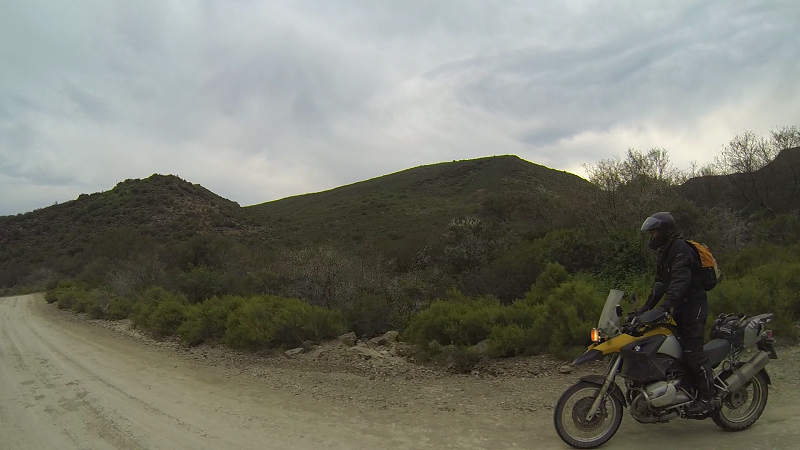
More scenery.
That's what it's all about right? Flowers, people, scenery.
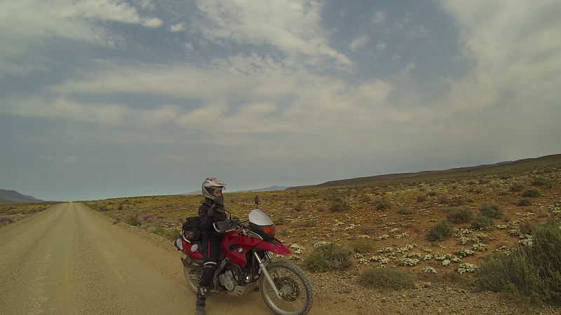
Me with flowers.
I stopped at the side of the road to look at some white flowers. Then I looked back... All the flowers were facing the sun and we had been riding into the sun. You missed out unless you looked back.
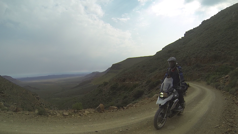
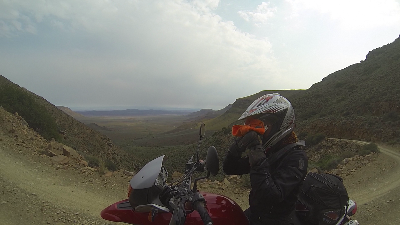
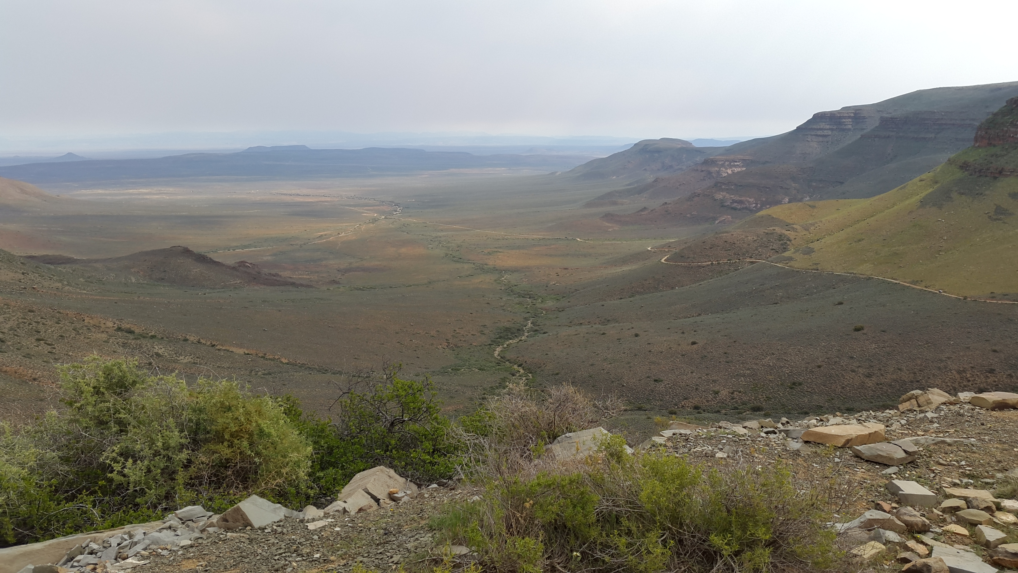
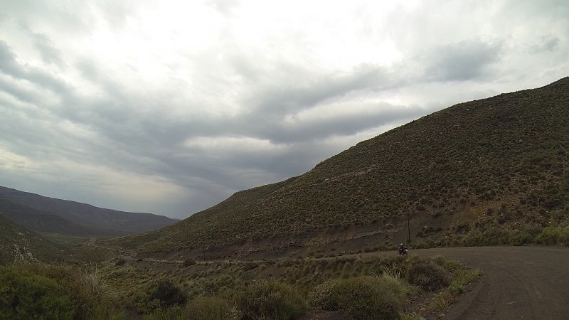
Even Gannaga Pass was bright green on some sections.
Removing dust to see the view
More Gannaga

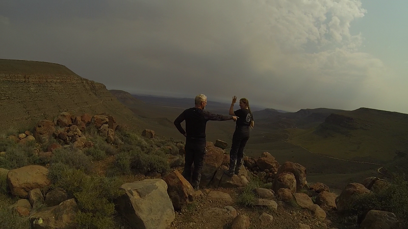
The view is so beautiful that you must gesticulate wildly
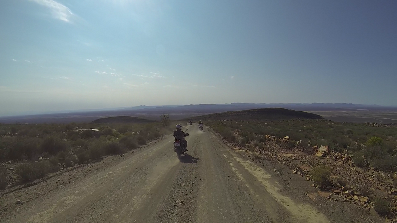
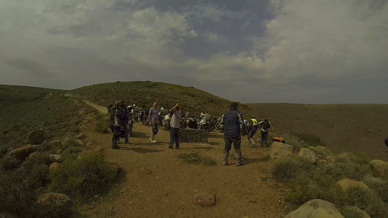
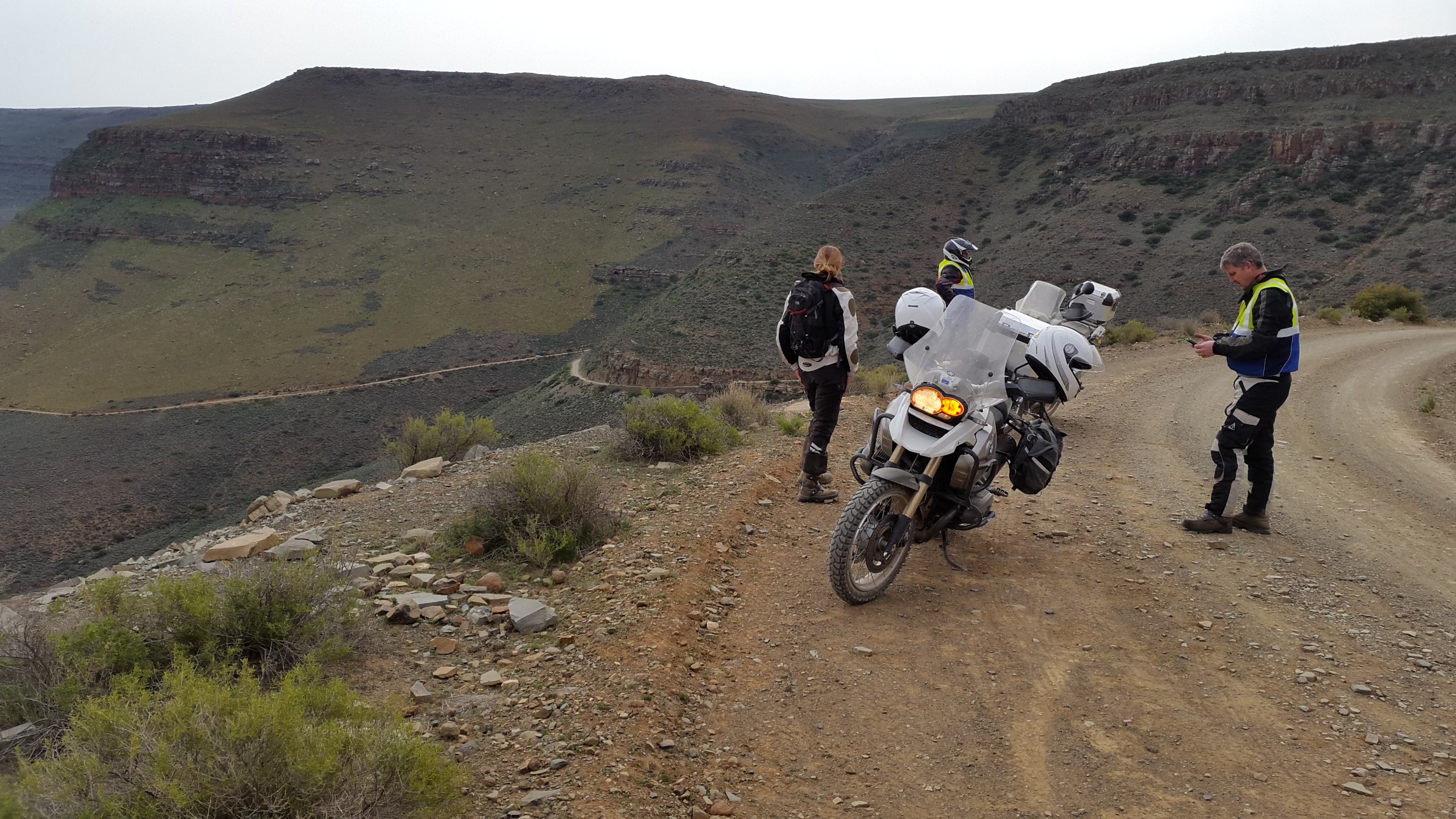
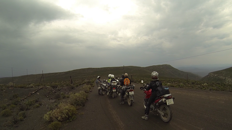
The group
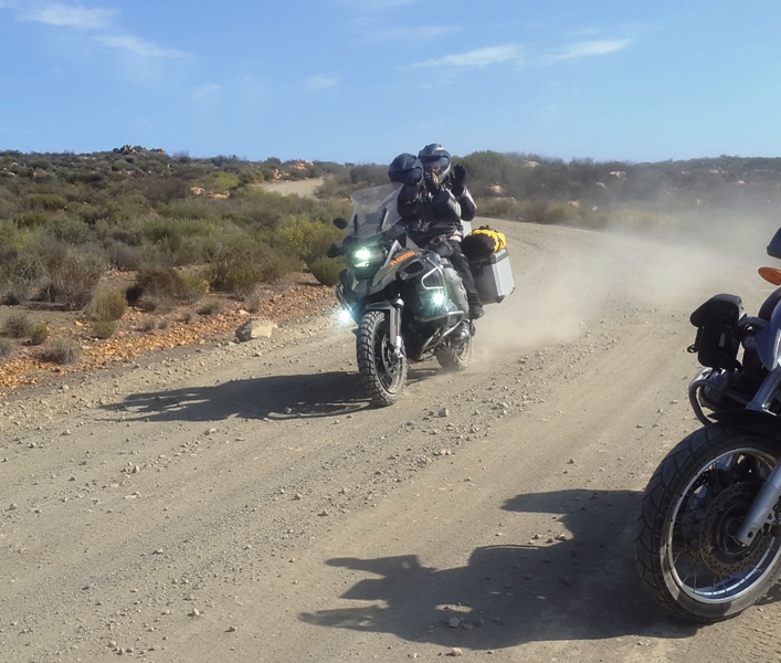
Lance, the cameraman
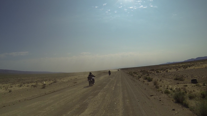
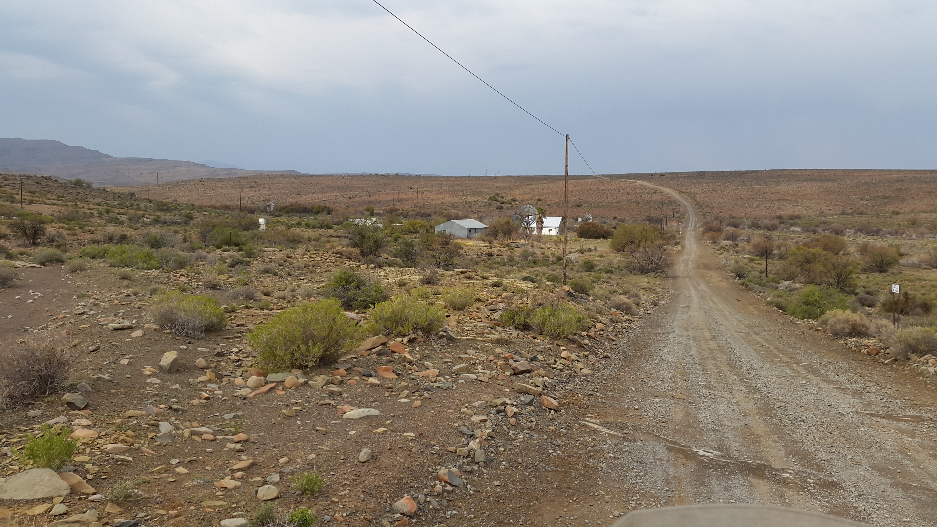
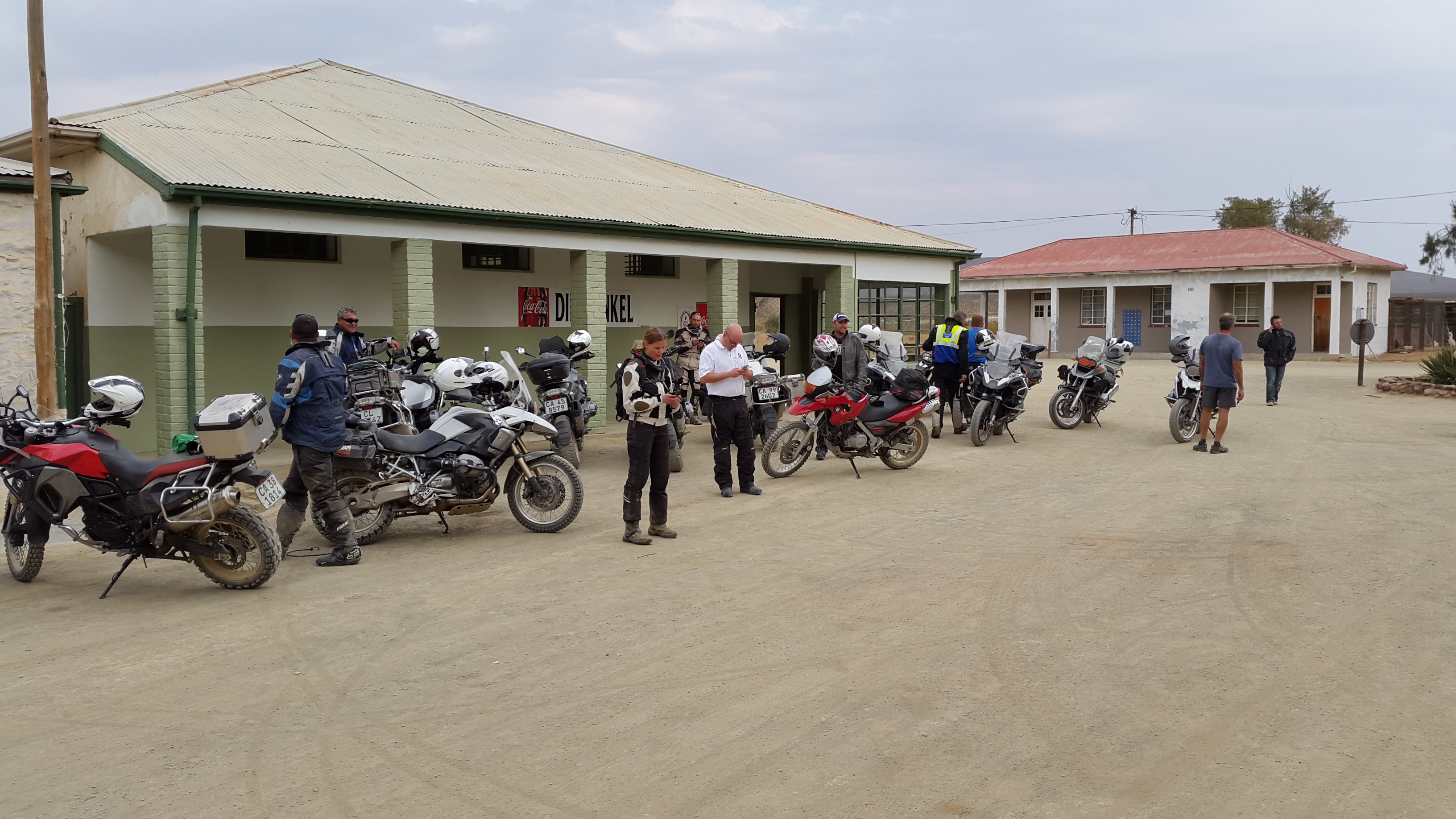
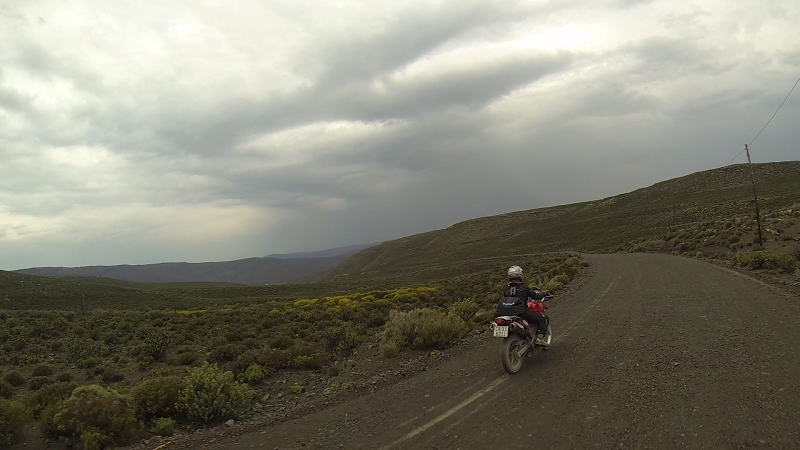
Middelpos
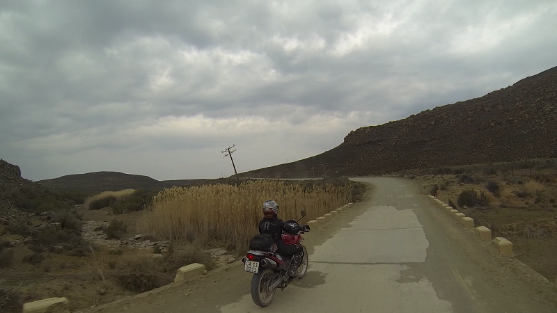
Somewhere between Middelpos and Sutherland
That will have to be all for today. Day 2 will be another 40 minutes of videos and I can't face that yet.
- 2874 reads
Comments

MAy we add some pics?....
Feel free. The more pics the merrier!
Another Zanie epic report, thank you. You no doubt found Lance on Saturday night![]()
Some more Sutherland photos
And some more!!


Thanks Zanie for the pics - always end up getting back from a trip with lots of pictures of my amazing bike, stunning scenery and other people but never any of myself - so nice to be riding near the back with someone with a GoPro. Neels' pace didn't allow for much time to smell the roses!

I also have a few...

Last one's
Day 2. We woke up to the sound of rain. It was pouring while we were having breakfast. Lance and I seriously considered heading back on tar. We did not think that my skill level and mud would mix well. Thanks to Neels, who said I should get rid of my "kopwurm," we decided to stick with the intermediate group.
The beginners' group headed back on tar, due to the bad weather. Quite a few of the intermediate group did the same or decided to go back on their own route. Our group, consisting of roughly 17 bikes the previous, day had whittled down to 7.
Neels said we would keep to the original plan, but would turn back if the road was too muddy. What a good call! It ended up being a perfect riding day.
Here is the rough route we followed: https://goo.gl/C0hPw1. I am geographically challenged, so please excuse me if I did not get the route 100% correct.
Lance volunteered to be sweeper, knowing he would be stuck at the back with me.
We headed out through the Moordenaarskaroo under a moody sky, with intermittent drizzle.
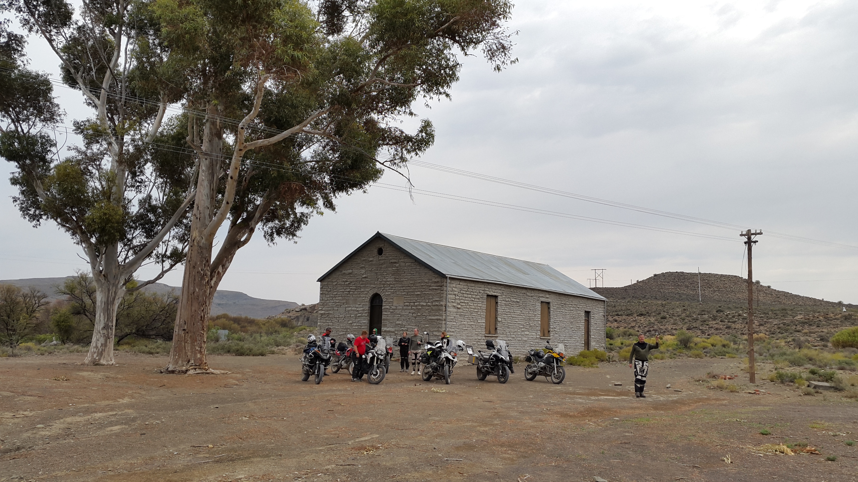
There was a random little boarded-up church in what seemed like the middle of nowhere. I think it was called "Dit Huis" or something along those lines.
The much-reduced group:
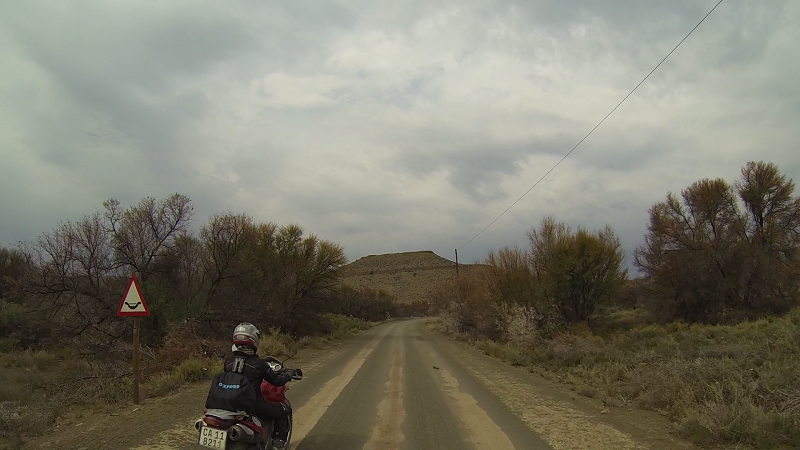
I don't know why people are caught unawares by corners and driffies. They are almost always clearly sign-posted. I don't have the skill level to tackle these at speed, which is why I use road signs as a guide to modulate my speed.

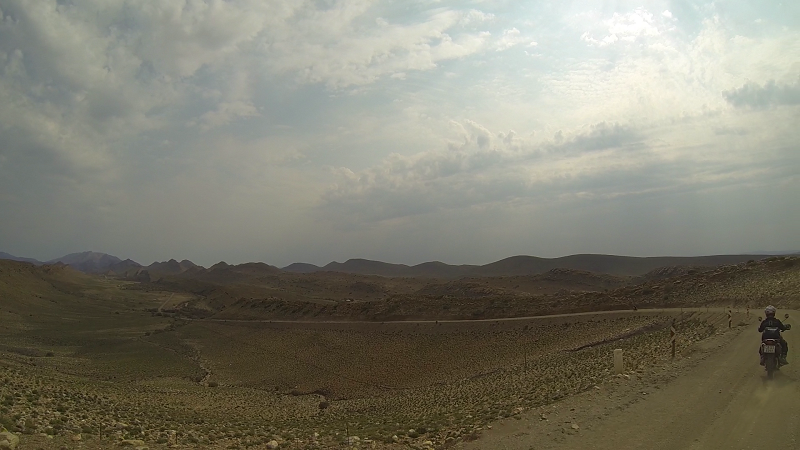
Interesting pyramid mountain:
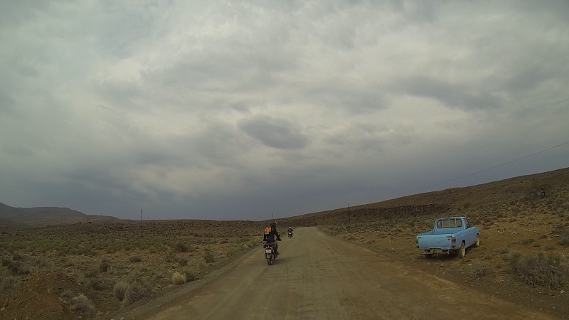
Random abandoned blue bakkie:
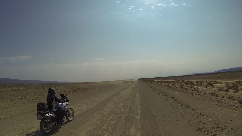
Considering my snail pace when compared to the others, Lance and I only saw the other bikers at pit-stops and turn-offs. The exception was Peter. Here are some photos for his troubles:
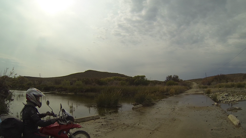
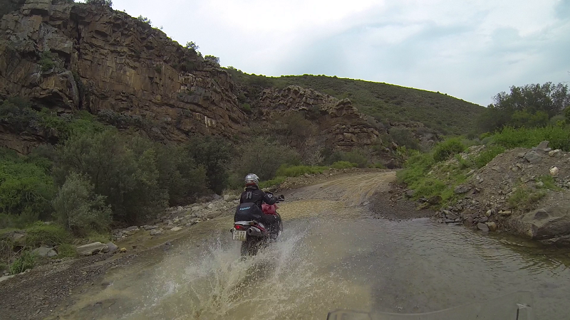
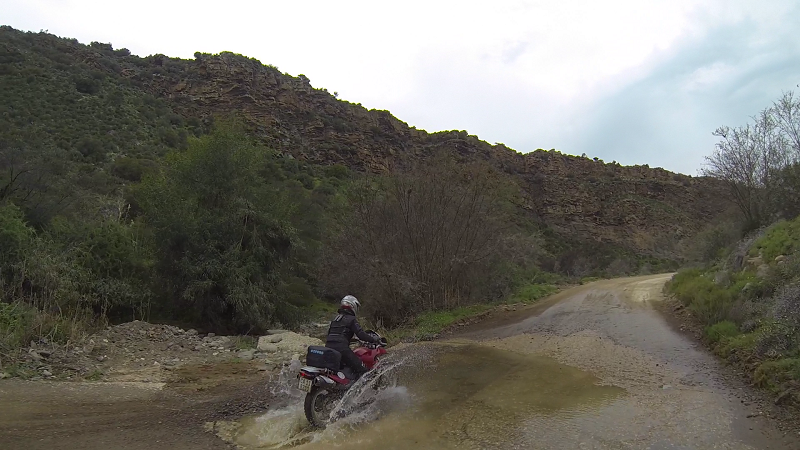
Rocky crossings:
Non-rocky crossing:
The pass at the start of the Witteberg Road, which runs parallel to the N1:
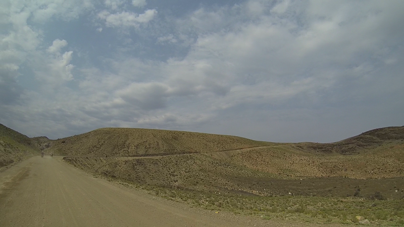
At the start of the ride, Neels told us to "ride only as fast as you can see." This is the reason why all corners and blind rises should be taken at a slower speed:
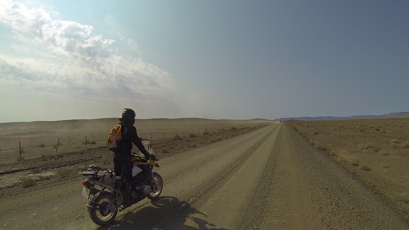
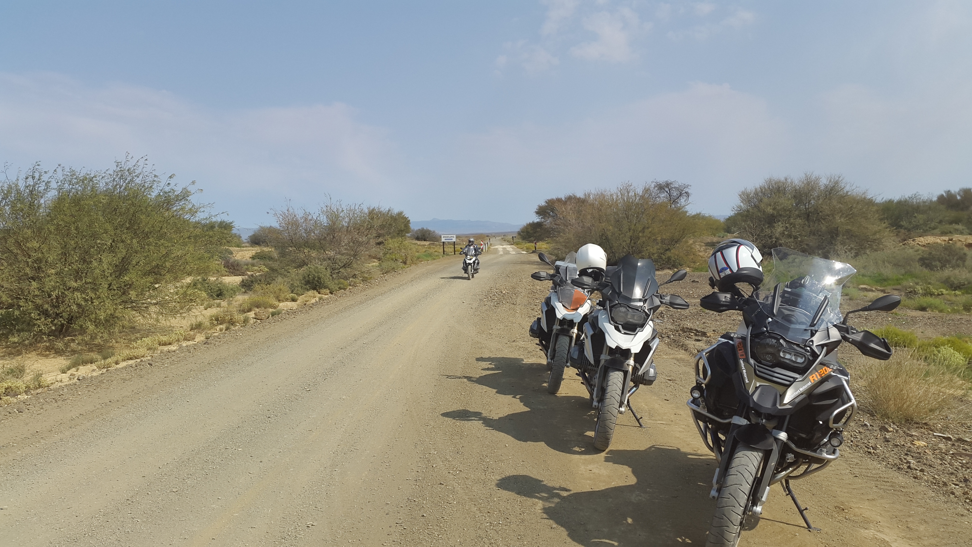
We rode a small section of N1 to Touws River, after which we were again on gravel. This is proof that I can go reasonably fast (in my terms) on a straight gravel highway:
You don't need to go to the West Coast to see flowers:
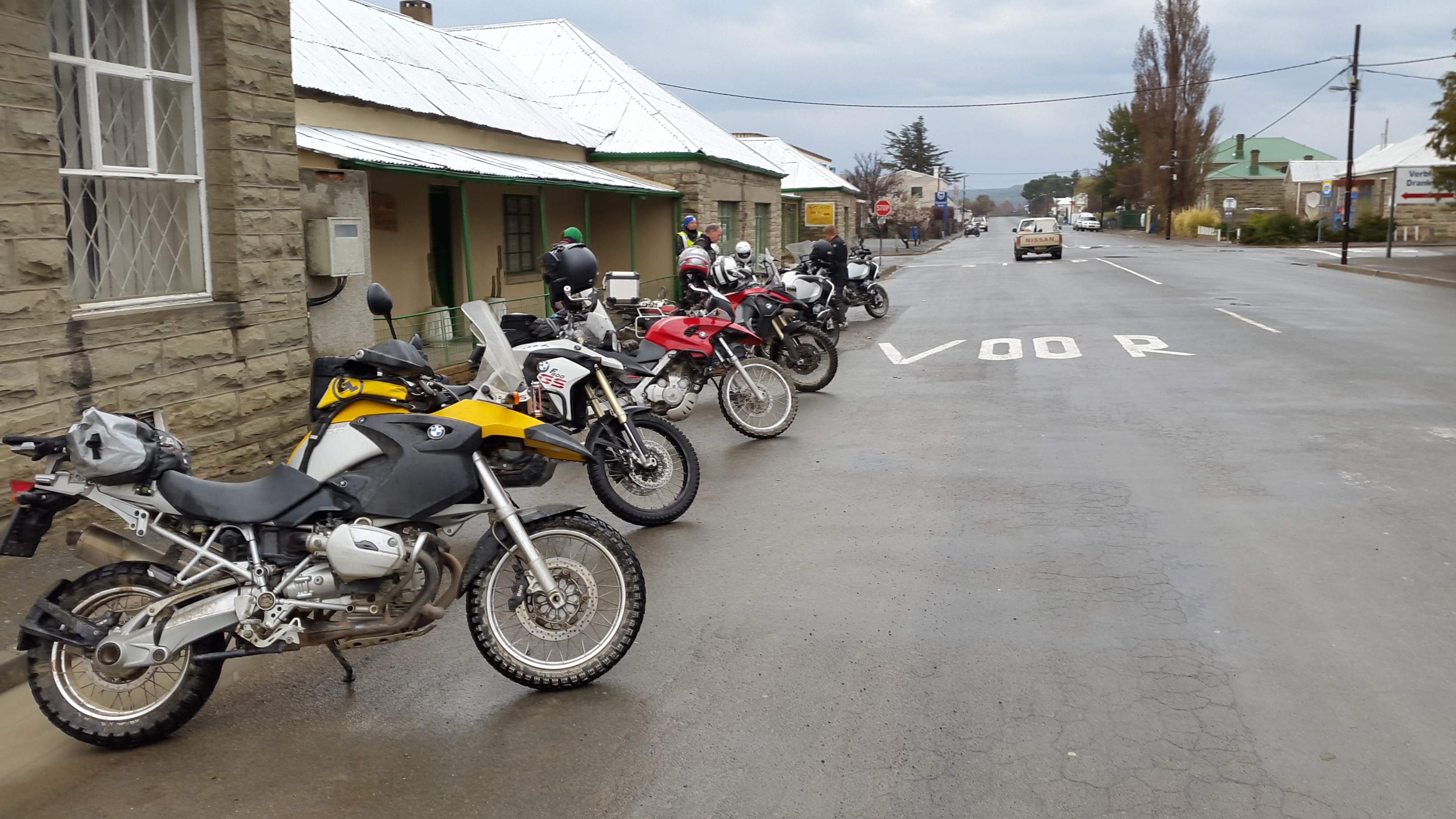
We rode the Ouberg Pass to Montagu. This is not to be confused with the other Ouberg Passes (there are apparently at least 4 in the Western and Eastern Cape alone, including the one near Sutherland).
This is the only road sign I saw that made no sense. On Ouberg Pass: cattle grid on your left?
Ouberg Pass sports many driffies:
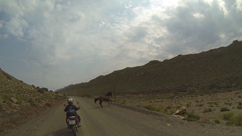
Peter joined us again for a short stretch:
More flowers:
A washed-away bridge:

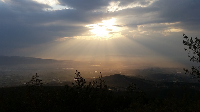
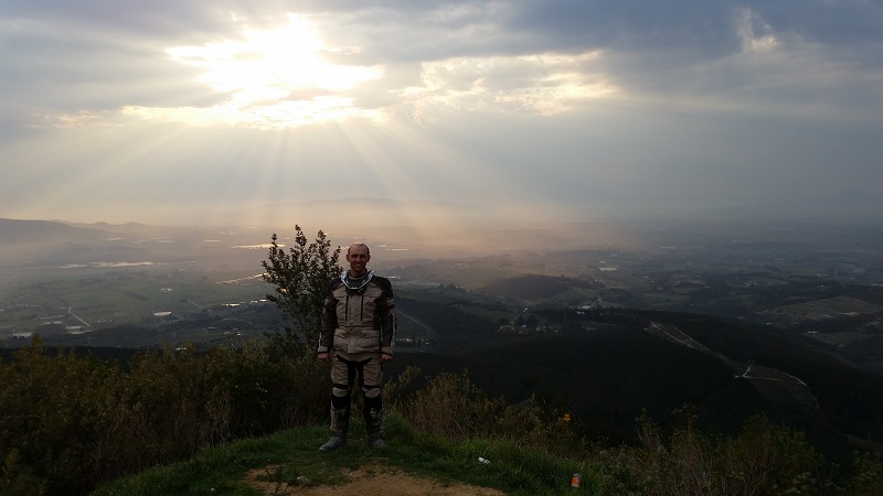
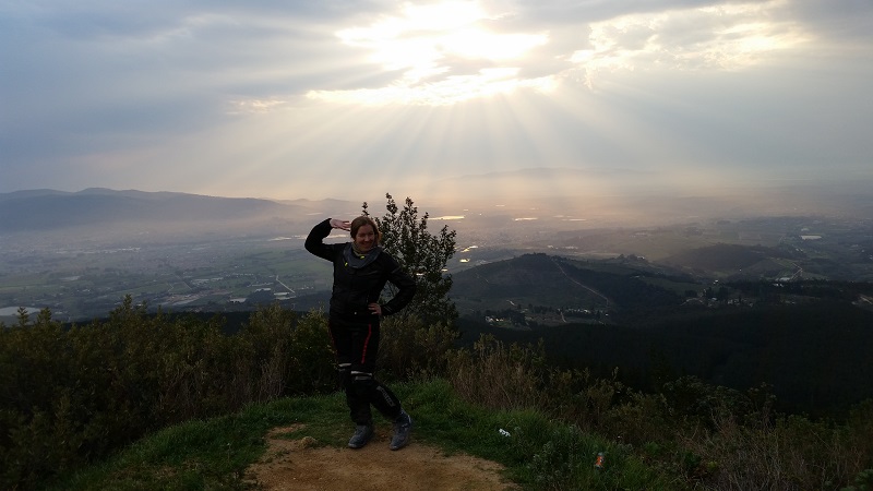
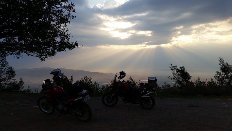
After Montagu, everyone made their own way home. Lance had asked me whether I wanted to ride through the tunnel. I still wasn't done for the day, despite being saddle-sore and tired. I opted that we take Du Toit's Kloof Pass. The sunset didn't disappoint.
We finally reached home at 7pm. What an amazing trip!
Lance created a video of the trip.

Thks for yet another most enjoyable trip report Zanie, and the photos. Love reading them :-)
| © BMW Motorrad Club Cape 2006 - 2020 | Back to live site | Site built and hosted by HoneyBadger.net |